Brown Hill
Hill, Mountain in Ayrshire
Scotland
Brown Hill
Brown Hill is a prominent geographical feature located in the region of Ayrshire, Scotland. It is classified as a hill rather than a mountain, with an elevation of approximately 366 meters (1,200 feet). The hill is situated in the southern part of Ayrshire, near the town of Cumnock.
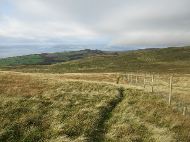
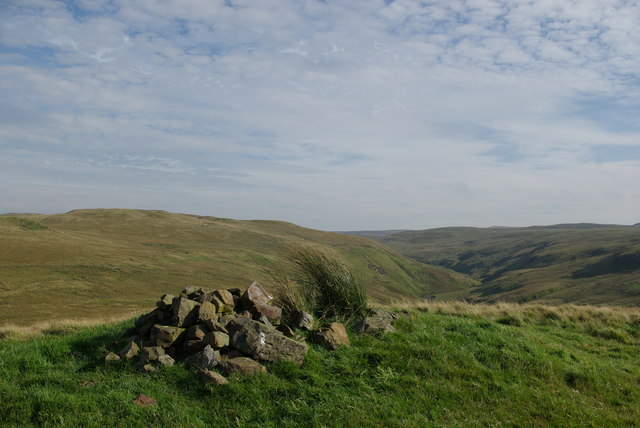
Brown Hill is characterized by its distinctive brown-colored slopes, which give it its name. The terrain is predominantly covered by grass, heather, and scattered shrubs, creating a picturesque landscape typical of the Scottish countryside. It is part of a larger range of hills in the area, adding to the natural beauty of the region.
The hill is accessible to hikers and nature enthusiasts, offering a range of walking trails that cater to different levels of difficulty. Visitors can enjoy panoramic views of the surrounding countryside from the summit, which provide a breathtaking perspective of the rolling hills and valleys of Ayrshire.
Brown Hill is also notable for its rich biodiversity. The hill is home to various species of plants and animals, including birds of prey, such as buzzards and kestrels, as well as smaller mammals like hares and rabbits. The area is also known for its diverse flora, with wildflowers and heather covering the slopes during the summer months.
Overall, Brown Hill is a significant landmark in Ayrshire, attracting both locals and tourists alike with its natural beauty, hiking opportunities, and abundant wildlife.
If you have any feedback on the listing, please let us know in the comments section below.
Brown Hill Images
Images are sourced within 2km of 55.80688/-4.8049513 or Grid Reference NS2460. Thanks to Geograph Open Source API. All images are credited.


Brown Hill is located at Grid Ref: NS2460 (Lat: 55.80688, Lng: -4.8049513)
Unitary Authority: North Ayrshire
Police Authority: Ayrshire
What 3 Words
///front.encoding.remedy. Near Largs, North Ayrshire
Nearby Locations
Related Wikis

British European Airways Flight S200P
British European Airways Flight S200P was a short-haul flight from London-Northolt Airport to Glasgow-Renfrew Airport, Scotland. On 21 April 1948, while...

Irish Law (mountain)
Irish Law is a mountain located in North Ayrshire, Scotland near the town of Largs. It has an elevation of 484 metres (1,588 ft) and a prominence of 80...

Hill of Stake
Hill of Stake is a hill on the boundary between North Ayrshire and Renfrewshire, Scotland. == Geography == The hill is 522 metres (1,713 feet) high and...

National Sports Training Centre Inverclyde
National Sports Training Centre Inverclyde is a sports training facility in Largs, North Ayrshire. It is the UK's first inclusive residential sports facility...
Have you been to Brown Hill?
Leave your review of Brown Hill below (or comments, questions and feedback).