Prop Hill

Hill, Mountain in Ayrshire

Scotland

Prop Hill

Souter Johnnie's Cottage The figures in the garden of the cottage commemorate Tam o'Shanter and his drinking companion, Souter Johnnie, hi 'ancient, trusty, drouthy (thirsty) crony.
Souter Johnnie's Cottage Credit: Anne Burgess

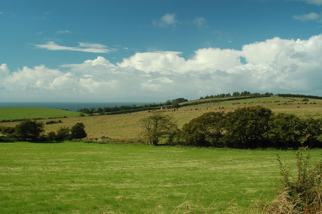
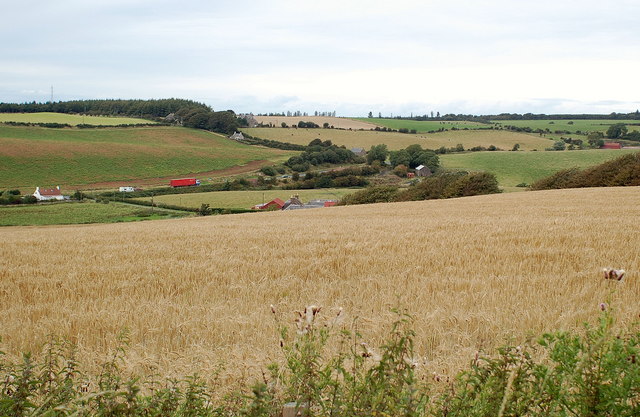
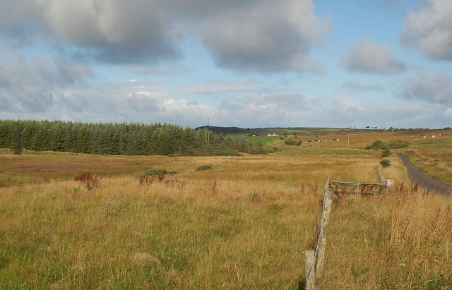
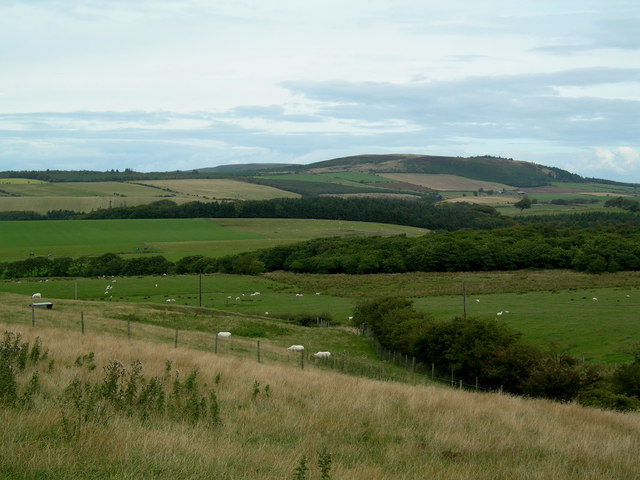
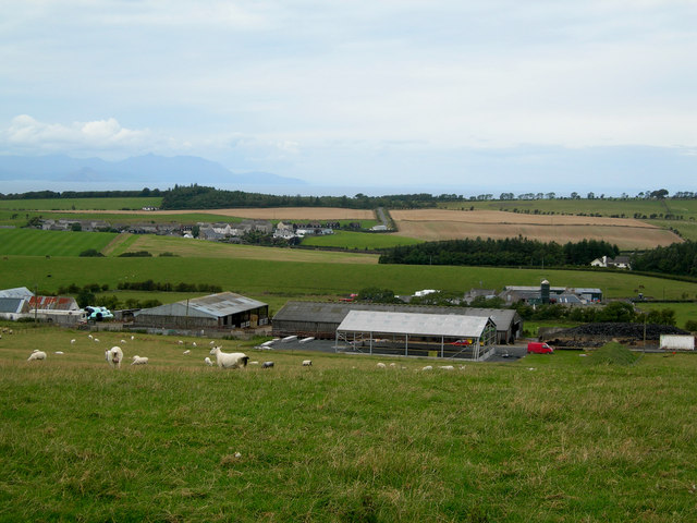
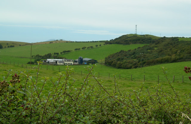
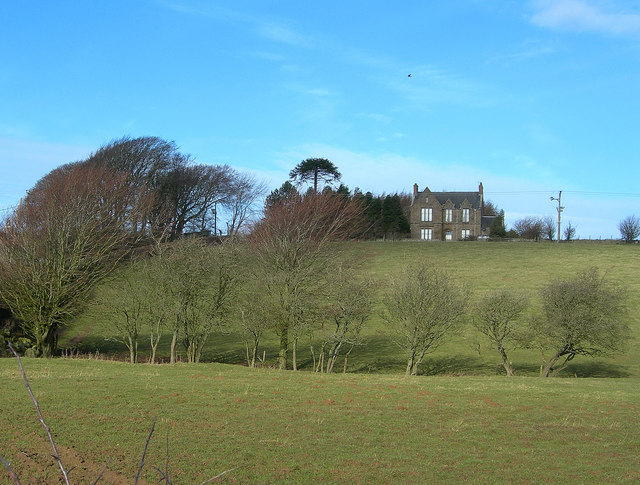
Prop Hill is a prominent hill located in Ayrshire, Scotland. Rising to an elevation of approximately 339 meters (1,112 feet), it offers breathtaking panoramic views of the surrounding countryside. Situated near the small village of Coylton, Prop Hill is a popular destination for outdoor enthusiasts and nature lovers.

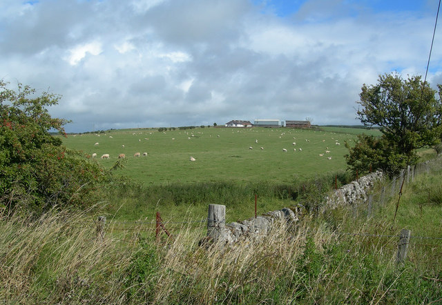
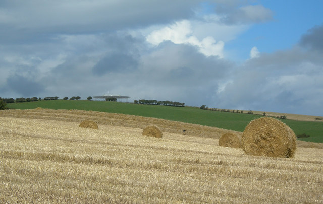
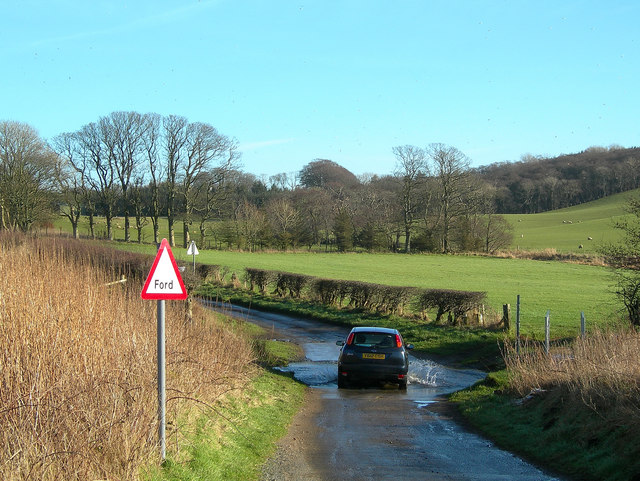
The hill is characterized by its gentle slopes and can be easily accessed via well-defined footpaths. Its location in the heart of Ayrshire provides visitors with a unique opportunity to explore the region's diverse flora and fauna. The hill is home to a variety of plant species, including heather, gorse, and wildflowers, which create a vibrant and picturesque landscape throughout the year.

From the summit of Prop Hill, visitors can enjoy stunning vistas of the surrounding area, including the Ayrshire coast, the Isle of Arran, and the rolling hills of the Scottish countryside. On clear days, it is even possible to catch a glimpse of the distant peaks of the Southern Uplands. The hill's vantage point also provides an ideal spot for photographers, as it offers unparalleled views of the ever-changing Scottish sky.

For those seeking outdoor activities, Prop Hill offers opportunities for hiking, walking, and birdwatching. The hill is known to attract a variety of bird species, including kestrels, buzzards, and peregrine falcons, making it a haven for bird enthusiasts. Additionally, the tranquil surroundings of Prop Hill make it a perfect location for a peaceful picnic or a leisurely stroll in nature.

Prop Hill is a natural gem in the heart of Ayrshire, offering visitors a chance to connect with nature, enjoy breathtaking views, and partake in a range of outdoor activities.

If you have any feedback on the listing, please let us know in the comments section below.
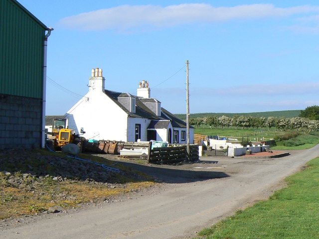
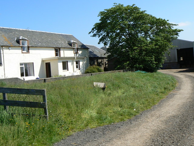
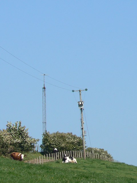
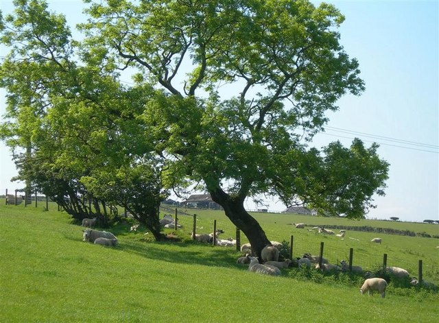
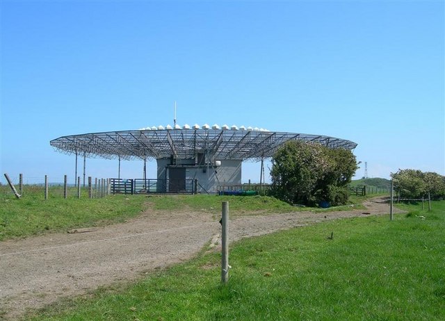
Prop Hill Images

Images are sourced within 2km of 55.316705/-4.7739829 or Grid Reference NS2406. Thanks to Geograph Open Source API. All images are credited.

Souter Johnnie's Cottage The figures in the garden of the cottage commemorate Tam o'Shanter and his drinking companion, Souter Johnnie, hi 'ancient, trusty, drouthy (thirsty) crony.
Souter Johnnie's Cottage
The figures in the garden of the cottage commemorate Tam o'Shanter and his drinking companion, Souter Johnnie, hi 'ancient, trusty, drouthy (thirsty) crony.
Opposite Chapelton Farm Improved farmland with rough grazing.
Opposite Chapelton Farm
Improved farmland with rough grazing.
Chapelton Farm Sheep grazing on improved farmland
Chapelton Farm
Sheep grazing on improved farmland
From Glenhead Farm towards the beacon The beacon is part of the civil aircraft navigation system.
From Glenhead Farm towards the beacon
The beacon is part of the civil aircraft navigation system.
From the Glenhead Road Farmland in South Ayrshire, Arran in the far distance
From the Glenhead Road
Farmland in South Ayrshire, Arran in the far distance
Minnybae Farm Looking towards Minnybae and A77
Minnybae Farm
Looking towards Minnybae and A77
Craigens Wood Craigens Wood (on left) with Hallowshean in distance
Craigens Wood
Craigens Wood (on left) with Hallowshean in distance
View towards Mochrum Hill Mixed farmland and woodland from the minor road to Kirkoswald with Mochrum Hill in the background.
View towards Mochrum Hill
Mixed farmland and woodland from the minor road to Kirkoswald with Mochrum Hill in the background.
Broadshean Looking NNW over Broadshean Farm towards Kirkoswald, with Arran in the distance
Broadshean
Looking NNW over Broadshean Farm towards Kirkoswald, with Arran in the distance
Hallowshean Farm Grazing land on Hallowshean Farm, named Hollowshean on the map, with aviation beacon and communications mast on the skyline.
Hallowshean Farm
Grazing land on Hallowshean Farm, named Hollowshean on the map, with aviation beacon and communications mast on the skyline.
Crossing the Ford
Crossing the Ford
Towards Barsloan Wood
Souter Johnnies Cottage, Kirkoswald The cottage on the A77 through Kirkoswald, Ayrshire built in 1785 by John Davidson a shoemaker or souter, one of two characters depicted in the poem Tam O'Shanter written by Robert Burns.
Souter Johnnies Cottage, Kirkoswald
The cottage on the A77 through Kirkoswald, Ayrshire built in 1785 by John Davidson a shoemaker or souter, one of two characters depicted in the poem Tam O'Shanter written by Robert Burns.
North Threave Upland farm.
North Threave
Upland farm.
Craigenton Farm
Craigenton Farm
Cattle and masts Cows below the telecom mast near Craigenton beacon.
Cattle and masts
Cows below the telecom mast near Craigenton beacon.
Sheep at Chapelton The Chapelton Farm buildings are in the background, through the trees.
Sheep at Chapelton
The Chapelton Farm buildings are in the background, through the trees.
The Turnberry DVOR This navigational aid is operated by the National Air Traffic Services Ltd.  A communication mast is visible in the distance.
The Turnberry DVOR
This navigational aid is operated by the National Air Traffic Services Ltd. A communication mast is visible in the distance.
Show me another place!

Prop Hill is located at Grid Ref: NS2406 (Lat: 55.316705, Lng: -4.7739829)

Unitary Authority: South Ayrshire

Police Authority: Ayrshire

What 3 Words

///inched.curries.polar. Near Maybole, South Ayrshire

Related Wikis

Kirkoswald Parish Church

Kirkoswald Parish Church is located in the small village of Kirkoswald (on the A77 road), South Ayrshire, Scotland. It is a parish church in the Church...

Kirkoswald, South Ayrshire

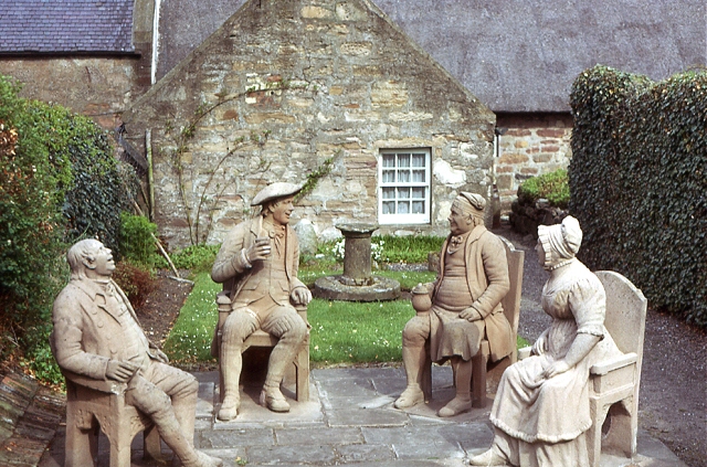
Kirkoswald (Scots: Kirkossald) is a village and parish in the Carrick district of Ayrshire, Scotland, 1+3⁄4 miles (3 kilometres) from the coast and four...

Maidens railway station

Maidens railway station was a railway station serving the village of Maidens, South Ayrshire, Scotland. The station was part of the Maidens and Dunure...

Maidens, South Ayrshire

Maidens is a village in the Kirkoswald parish of Ayrshire, Scotland. Situated on the coast of the Firth of Clyde at the southern end of Maidenhead Bay...

Nearby Amenities

Located within 500m of 55.316705,-4.7739829
Place: farm
Lat/Long: 55.3162737/-4.7668722
Power: pole
Lat/Long: 55.3168017/-4.7663643
Power: pole
Lat/Long: 55.3167453/-4.767566
Power: pole
Lat/Long: 55.3170126/-4.7690533
Power: pole
Lat/Long: 55.3172813/-4.7705996
Power: pole
Lat/Long: 55.3174224/-4.7713574
Power: pole
Lat/Long: 55.31719/-4.772375
Power: pole
Lat/Long: 55.316967/-4.773409
The data included in this document is from www.openstreetmap.org. The data is made available under ODbL.

Have you been to Prop Hill?

Leave your review of Prop Hill below (or comments, questions and feedback).