Brown Hill
Hill, Mountain in Renfrewshire
Scotland
Brown Hill
Brown Hill is a prominent landmark located in Renfrewshire, Scotland. Situated near the village of Kilbarchan, it is part of the scenic landscape of the area. With an elevation of approximately 159 meters (522 feet), it is classified as a hill rather than a mountain.
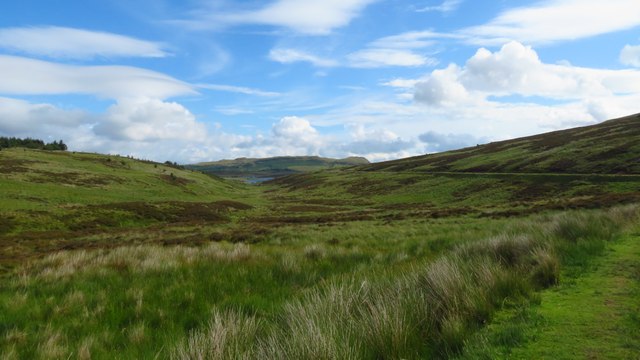
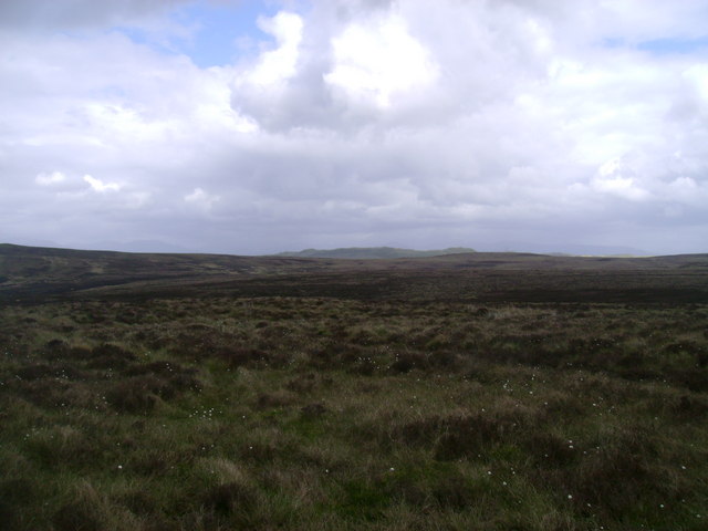
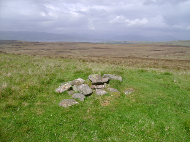
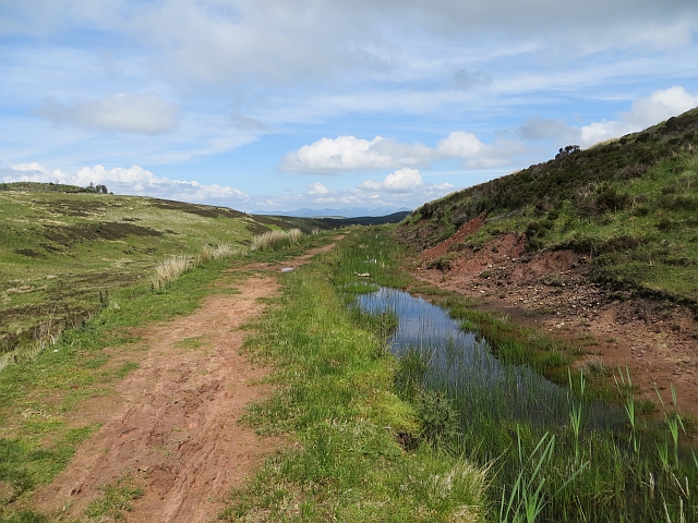
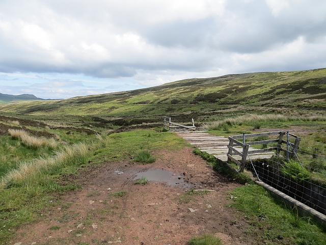
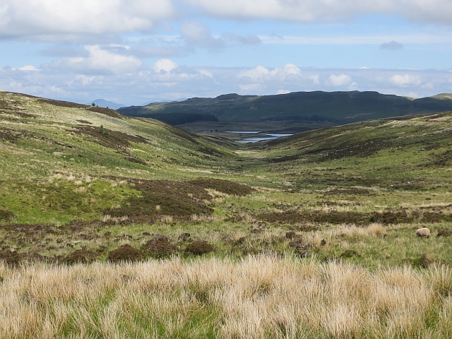
Covered in lush green vegetation, Brown Hill offers stunning panoramic views of the surrounding countryside. It is a popular destination for hikers and nature enthusiasts, attracting locals and tourists alike. The hill is easily accessible, with several trails leading up to its summit, allowing visitors to enjoy a pleasant walk while taking in the breathtaking scenery.
The terrain of Brown Hill is characterized by rolling slopes and rocky outcrops, adding to its natural beauty. The hill is home to a variety of flora and fauna, including heather, gorse, and several species of birds. It is a designated conservation area, ensuring the preservation of its unique ecosystem.
Historically, Brown Hill has played an important role in the local community. It has been utilized for various recreational activities, including paragliding and orienteering. Additionally, the hill has been a source of inspiration for artists and photographers, who are drawn to its picturesque landscapes.
Overall, Brown Hill in Renfrewshire provides a splendid outdoor experience, combining natural beauty with recreational opportunities. Its accessibility and diverse wildlife make it a must-visit destination for those seeking a peaceful escape amidst the Scottish countryside.
If you have any feedback on the listing, please let us know in the comments section below.
Brown Hill Images
Images are sourced within 2km of 55.892718/-4.8162164 or Grid Reference NS2370. Thanks to Geograph Open Source API. All images are credited.


Brown Hill is located at Grid Ref: NS2370 (Lat: 55.892718, Lng: -4.8162164)
Unitary Authority: Inverclyde
Police Authority: Renfrewshire and Inverclyde
What 3 Words
///smiled.usual.muted. Near Inverkip, Inverclyde
Nearby Locations
Related Wikis

Loch Thom
Loch Thom is a reservoir which since 1827 has provided a water supply to the town of Greenock in Inverclyde, Scotland. It is named after the civil engineer...

Inverkip
Inverkip (; Scottish Gaelic: Inbhir Chip) is a village and parish in the Inverclyde council area and historic county of Renfrewshire in the west central...

Inverkip railway station
Inverkip railway station is a railway station serving the village of Inverkip, Inverclyde, Scotland. The station is managed by ScotRail and is on the Inverclyde...

Inverclyde (UK Parliament constituency)
Inverclyde is a parliamentary constituency of the House of Commons of the Parliament of the United Kingdom. It replaced Greenock and Inverclyde and the...
Nearby Amenities
Located within 500m of 55.892718,-4.8162164Have you been to Brown Hill?
Leave your review of Brown Hill below (or comments, questions and feedback).