Benan Hill
Hill, Mountain in Ayrshire
Scotland
Benan Hill

Benan Hill is a prominent geographical feature located in the beautiful region of Ayrshire, Scotland. It is a hill rather than a mountain, reaching an elevation of approximately 1,000 feet (305 meters) above sea level. Situated near the village of Straiton, Benan Hill is part of the Southern Uplands, which are known for their rolling hills and picturesque landscapes.
The hill is characterized by its distinctive conical shape and lush green vegetation, making it a popular destination for hikers and nature enthusiasts. Its slopes are covered in heather, bracken, and grasses, providing a vibrant and diverse habitat for various plant and animal species.
From the summit of Benan Hill, visitors are rewarded with breathtaking panoramic views of the surrounding countryside. On a clear day, one can see the rolling hills of Ayrshire, the Firth of Clyde, and even glimpse the distant mountains of the Galloway Forest Park.
The hill is easily accessible via well-maintained footpaths and trails, making it an ideal location for outdoor activities such as hillwalking and birdwatching. Its proximity to the nearby village of Straiton also allows for convenient access to amenities and services.
Benan Hill holds historical significance as well, with remnants of ancient settlements and burial sites found in the vicinity. These archaeological remains offer a glimpse into the region's rich cultural heritage.
Overall, Benan Hill is a captivating and picturesque location that showcases the natural beauty of Ayrshire. Its stunning views, diverse flora and fauna, and accessible trails make it a must-visit destination for nature lovers and outdoor enthusiasts.
If you have any feedback on the listing, please let us know in the comments section below.
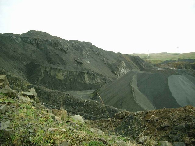
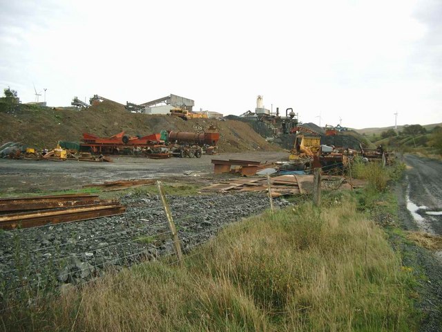
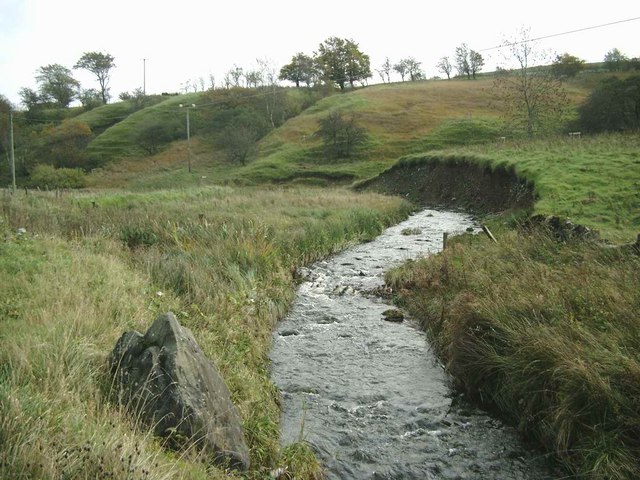
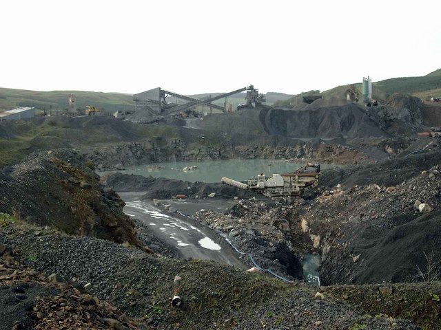
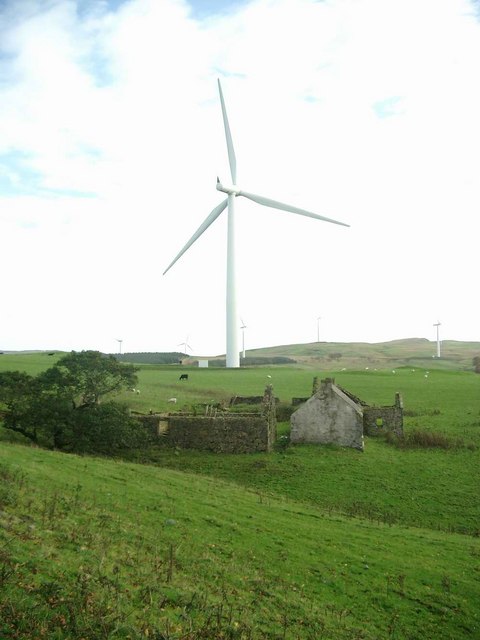
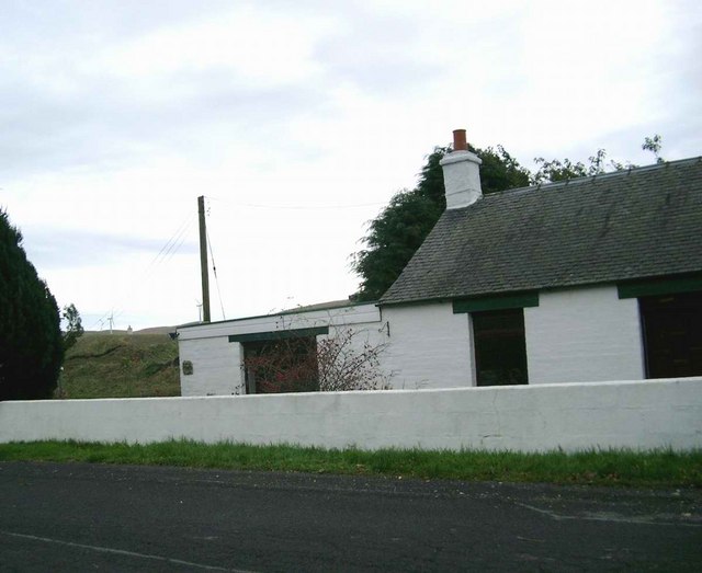
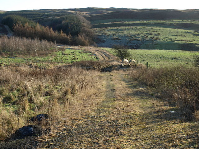
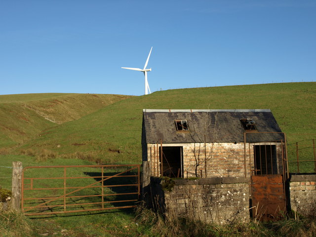
Benan Hill Images
Images are sourced within 2km of 55.201291/-4.7758967 or Grid Reference NX2393. Thanks to Geograph Open Source API. All images are credited.


Benan Hill is located at Grid Ref: NX2393 (Lat: 55.201291, Lng: -4.7758967)
Unitary Authority: South Ayrshire
Police Authority: Ayrshire
What 3 Words
///cosmic.compliant.simmer. Near Girvan, South Ayrshire
Nearby Locations
Related Wikis

Pinmore railway station
Pinmore railway station served the hamlet of Pinmore, South Ayrshire, Scotland from 1877 to 1965 on the Girvan and Portpatrick Junction Railway. ��2�...

Barr, Ayrshire
Barr is a village in the South West of Ayrshire, Scotland, approximately 8 miles (13 km) from the town of Girvan. There are various opinions as to the...
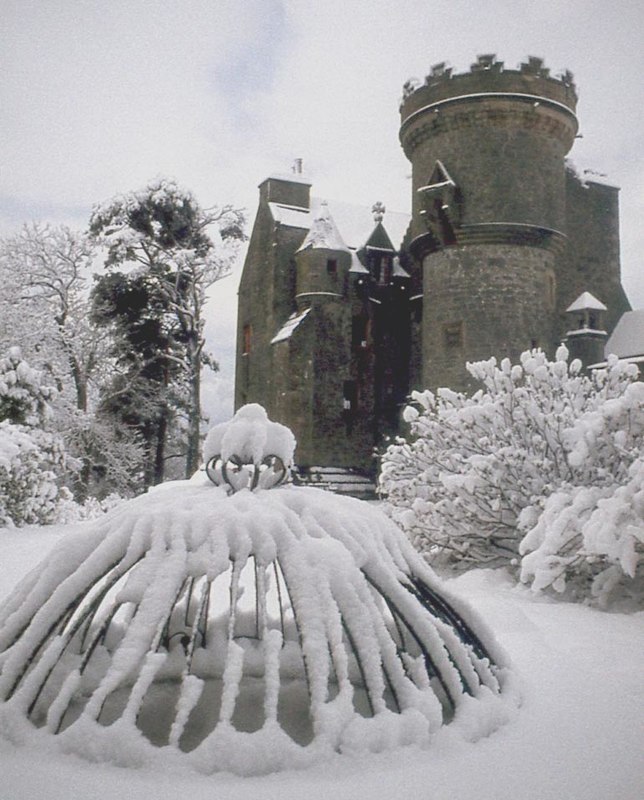
Penkill Castle
Penkill Castle is a 16th-century castle with later additions. It is around 1⁄2 mile (800 metres) south of Old Dailly, northeast of Girvan in south Ayrshire...
Old Dailly
Old Dailly is a hamlet in South Ayrshire, Scotland. It is located west of Dailly (or "New Dailly"). The Charter or Blue stones of Old Dailly in Ayrshire...
Nearby Amenities
Located within 500m of 55.201291,-4.7758967Have you been to Benan Hill?
Leave your review of Benan Hill below (or comments, questions and feedback).