Belgaverie
Hill, Mountain in Wigtownshire
Scotland
Belgaverie

The requested URL returned error: 429 Too Many Requests
If you have any feedback on the listing, please let us know in the comments section below.
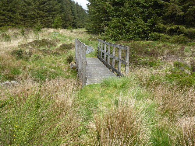
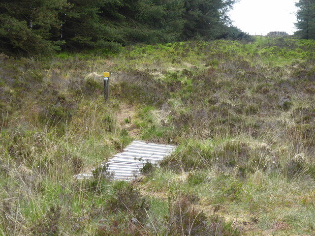
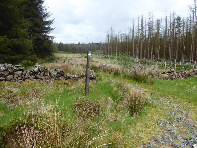
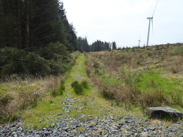
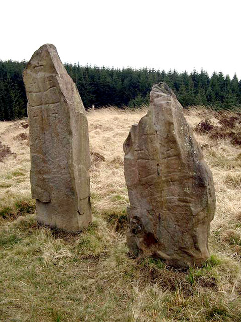
Belgaverie Images
Images are sourced within 2km of 54.991151/-4.7691016 or Grid Reference NX2269. Thanks to Geograph Open Source API. All images are credited.


Belgaverie is located at Grid Ref: NX2269 (Lat: 54.991151, Lng: -4.7691016)
Unitary Authority: Dumfries and Galloway
Police Authority: Dumfries and Galloway
What 3 Words
///officer.occupiers.trusts. Near Cairnryan, Dumfries & Galloway
Nearby Locations
Related Wikis

Tarf Water, Wigtownshire
The Tarf Water is a river in the former county of Wigtownshire in south-west Scotland. It rises on the Ayrshire border (55.0048°N 4.7815°W / 55.0048;...

Glenwhilly railway station
Glenwhilly railway station served the area of Glenwhilly, Dumfries and Galloway, Scotland from 1887 to 1965 on the Girvan and Portpatrick Junction Railway...

Kilgallioch
Kilgallioch Wind Farm is a 96 turbine wind farm in South Ayrshire, Scotland with a total capacity of up to 239 megawatts (MW). Consent granted by the Scottish...

New Luce
New Luce (Scottish Gaelic: Baile Ùr Ghlinn Lus) is a civil parish in Dumfries and Galloway, south-west Scotland. It lies in the traditional county of Wigtownshire...
Nearby Amenities
Located within 500m of 54.991151,-4.7691016Have you been to Belgaverie?
Leave your review of Belgaverie below (or comments, questions and feedback).