Earn Hill

Hill, Mountain in Renfrewshire

Scotland

Earn Hill

Ashton Road Between Greenock and Gourock
Ashton Road Credit: David Dixon

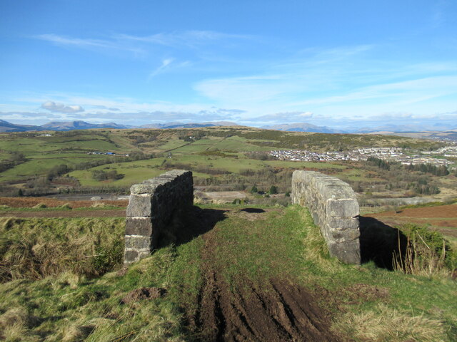
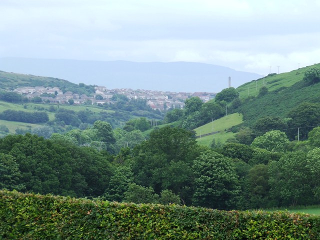
Earn Hill is a prominent hill located in the Renfrewshire region of Scotland. Situated near the small village of Lochwinnoch, the hill is part of the larger Clyde Muirshiel Regional Park, which covers an extensive area of the West Central Lowlands. With an elevation of approximately 222 meters (728 feet), Earn Hill offers panoramic views of the surrounding countryside.

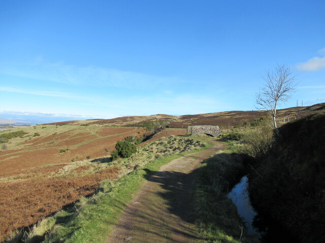
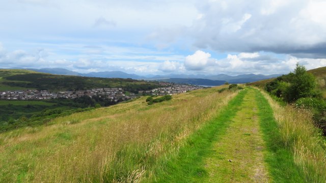
The hill is easily accessible by foot, with several well-marked trails leading to its summit. It is a popular spot for hikers and outdoor enthusiasts, who are drawn to its diverse flora and fauna. The hill is covered in a mixture of grassland, heather, and scattered trees, providing a picturesque backdrop for visitors.

At the summit of Earn Hill, there is a cairn, which is a man-made pile of stones, often used as a marker or memorial. This cairn serves as a focal point for hikers, who often take a moment to rest and admire the breathtaking vistas that stretch out in all directions. On clear days, it is possible to see as far as the Arran Hills to the west and the Trossachs National Park to the north.

The area surrounding Earn Hill is rich in history, with evidence of prehistoric settlements and ancient burial grounds nearby. The hill itself was likely used as a lookout point by early inhabitants, providing them with a strategic vantage over the local landscape.

Overall, Earn Hill is a captivating natural landmark that offers a rewarding experience for those who venture to its summit. Whether it's for a leisurely walk or a more challenging hike, this hill provides a wonderful opportunity to immerse oneself in the beauty of the Renfrewshire countryside.

If you have any feedback on the listing, please let us know in the comments section below.

Earn Hill Images

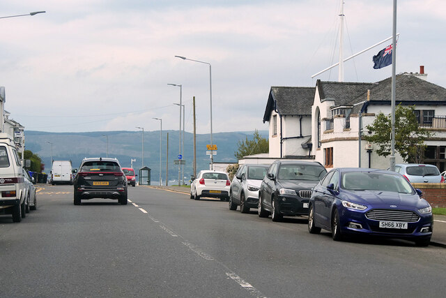
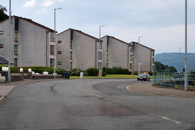
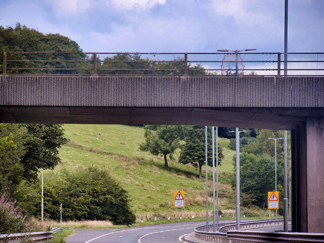
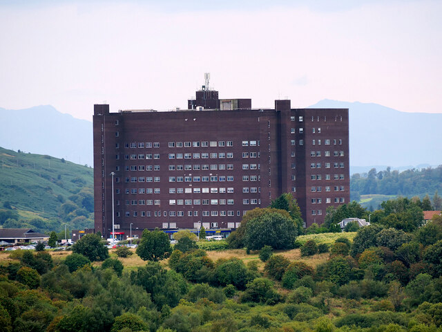
Images are sourced within 2km of 55.940485/-4.8385032 or Grid Reference NS2275. Thanks to Geograph Open Source API. All images are credited.

Ashton Road Between Greenock and Gourock
Ashton Road
Between Greenock and Gourock
3-storey Housing on Cloch Road
Bridge over Inverkip Road at Chrisswell The A78 runs for 42 miles between Greenock and Prestwick. For much of its route, it follows the northern section of the Ayrshire coast. Although it is classified as a primary road throughout its length, the standard varies. Much of the road is single carriageway, both for a short distance through Greenock and a 21-mile stretch between Inverkip and Ardrossan. The rest is dual carriageway; between the Eglinton and Warrix interchanges there are in fact 3 lanes in each direction, and the road is constructed to motorway standard (with full grade separation at junctions) except for a lack of hard shoulders.
Bridge over Inverkip Road at Chrisswell
The A78 runs for 42 miles between Greenock and Prestwick. For much of its route, it follows the northern section of the Ayrshire coast. Although it is classified as a primary road throughout its length, the standard varies. Much of the road is single carriageway, both for a short distance through Greenock and a 21-mile stretch between Inverkip and Ardrossan. The rest is dual carriageway; between the Eglinton and Warrix interchanges there are in fact 3 lanes in each direction, and the road is constructed to motorway standard (with full grade separation at junctions) except for a lack of hard shoulders.
Inverclyde Royal Hospital View from Lyle Hill.
Inverclyde Royal Hospital
View from Lyle Hill.
Bridge over aqueduct, Greenock Cut The Greenock Cut is a nineteenth-century aqueduct that once transported water from Loch Thom to the industries of Greenock. This is one of numerous small bridges over the aqueduct, with the derelict former IBM site visible below, and the outskirts of Greenock in the middle ground.
Bridge over aqueduct, Greenock Cut
The Greenock Cut is a nineteenth-century aqueduct that once transported water from Loch Thom to the industries of Greenock. This is one of numerous small bridges over the aqueduct, with the derelict former IBM site visible below, and the outskirts of Greenock in the middle ground.
Path by the Greenock Cut The Greenock Cut is a nineteenth-century aqueduct that once transported water from Loch Thom to the industries of Greenock. This path alongside is now a popular walk.
Path by the Greenock Cut
The Greenock Cut is a nineteenth-century aqueduct that once transported water from Loch Thom to the industries of Greenock. This path alongside is now a popular walk.
Greenock Cut Path above Chrisswell
Greenock Cut Path near the Hole of Spango
Postbox in Inverclyde Royal Hospital At the main reception area of the hospital. The word 'utilitarian' springs to mind.

See also <a href="https://www.geograph.org.uk/photo/7688241">NS2475 : Postbox at Inverclyde Royal Hospital</a>.
Postbox in Inverclyde Royal Hospital
At the main reception area of the hospital. The word 'utilitarian' springs to mind. See also NS2475 : Postbox at Inverclyde Royal Hospital.
Postbox at Inverclyde Royal Hospital At the main reception area of the hospital. The word 'utilitarian' springs to mind.

See also <a href="https://www.geograph.org.uk/photo/7688240">NS2475 : Postbox in Inverclyde Royal Hospital</a>.
Postbox at Inverclyde Royal Hospital
At the main reception area of the hospital. The word 'utilitarian' springs to mind. See also NS2475 : Postbox in Inverclyde Royal Hospital.
Gourock boundary sign On Larkfield Road at Inverclyde Royal Hospital.
Gourock boundary sign
On Larkfield Road at Inverclyde Royal Hospital.
Inverclyde Royal Hospital On Larkfield Road.
Inverclyde Royal Hospital
On Larkfield Road.
Inverclyde Royal Hospital The rear of the hospital, viewed from the staff car park.
Inverclyde Royal Hospital
The rear of the hospital, viewed from the staff car park.
Inverclyde Academy in the mist Viewed from a train approaching Branchton station.
Inverclyde Academy in the mist
Viewed from a train approaching Branchton station.
Inverclyde Royal Hospital The 1.5 Km distant hospital competes with the 45Km distant peaks of Arran to rise above the temperature inverted mist. Viewed from Lyle Hill.
Inverclyde Royal Hospital
The 1.5 Km distant hospital competes with the 45Km distant peaks of Arran to rise above the temperature inverted mist. Viewed from Lyle Hill.
Inverclyde Royal Hospital The 1.5 Km distant hospital and its chimney compete with the 45Km distant peaks of Arran to rise above the temperature inverted mist. Viewed from Lyle Hill.
Inverclyde Royal Hospital
The 1.5 Km distant hospital and its chimney compete with the 45Km distant peaks of Arran to rise above the temperature inverted mist. Viewed from Lyle Hill.
Misty Greenock Looking towards Scroggy Bank from Inverclyde Royal Hospital.
Misty Greenock
Looking towards Scroggy Bank from Inverclyde Royal Hospital.
Cloch Road Just past the putting greens.
Cloch Road
Just past the putting greens.
Show me another place!

Earn Hill is located at Grid Ref: NS2275 (Lat: 55.940485, Lng: -4.8385032)

Unitary Authority: Inverclyde

Police Authority: Renfrewshire and Inverclyde

What 3 Words

///impeached.pouch.conspired. Near Gourock, Inverclyde

Nearby Locations

Earn Hill

Related Wikis

Larkfield, Greenock

Larkfield is the largest council housing estate in Greenock, Inverclyde, Scotland. == Geography == The estate is named after Larkfield Farm, Larkfield...

Braeside, Greenock

Braeside is a neighbourhood situated on the far west side of Greenock, in Inverclyde, Scotland. It has one primary schools in its vicinity, Aileymill,...

Spango Valley

Spango Valley is a steep sided valley to the south-west of Greenock, Scotland. It runs approximately south west to north east for around 2.4 km (1.5 mi...

IBM railway station

IBM railway station (formerly known as IBM Halt) is a currently disused railway station on the Inverclyde Line, 25+1⁄2 miles (41 km) west of Glasgow Central...

Nearby Amenities

Located within 500m of 55.940485,-4.8385032
Power: pole
Lat/Long: 55.9416479/-4.8454359
Power: pole
Lat/Long: 55.9417494/-4.8438173
Power: pole
Lat/Long: 55.9418404/-4.8423695
Power: pole
Lat/Long: 55.9417973/-4.8409071
Power: pole
Lat/Long: 55.9417634/-4.8395009
Power: pole
Lat/Long: 55.9417238/-4.8382302
Power: pole
Lat/Long: 55.9416783/-4.8367303
Power: pole
Lat/Long: 55.9413808/-4.8354762
Power: pole
Lat/Long: 55.9411171/-4.83442
Power: pole
Lat/Long: 55.9404754/-4.833693
Power: pole
Lat/Long: 55.9398442/-4.8329889
Power: pole
Lat/Long: 55.9391978/-4.8322806
Power: pole
Lat/Long: 55.9386215/-4.8316285
Power: pole
Lat/Long: 55.938359/-4.8315848
Power: pole
Lat/Long: 55.9390182/-4.8323139
Power: pole
Lat/Long: 55.9396844/-4.8330493
Power: pole
Lat/Long: 55.9403564/-4.8337971
Power: pole
Lat/Long: 55.9410179/-4.8345408
Power: pole
Lat/Long: 55.9412991/-4.8356179
Power: pole
Lat/Long: 55.9415756/-4.8367844
Power: pole
Lat/Long: 55.9415966/-4.8382177
Power: pole
Lat/Long: 55.9416281/-4.839678
Power: pole
Lat/Long: 55.9416561/-4.8409258
Power: pole
Lat/Long: 55.9416771/-4.8422153
Power: pole
Lat/Long: 55.9415966/-4.8436465
Power: pole
Lat/Long: 55.9415114/-4.8450964
Power: pole
Lat/Long: 55.93703/-4.8395343
Power: pole
Lat/Long: 55.9364723/-4.8397207
Bus Stop
Factory
Bus: yes
Naptan AtcoCode: 6130669
Naptan NaptanCode: 46824589
Public Transport: platform
Lat/Long: 55.9435004/-4.8331049
Bus Stop
Industrial Estate
Bus: yes
Naptan AtcoCode: 6130592
Naptan NaptanCode: 46824824
Public Transport: platform
Lat/Long: 55.943221/-4.8331098
The data included in this document is from www.openstreetmap.org. The data is made available under ODbL.

Have you been to Earn Hill?

Leave your review of Earn Hill below (or comments, questions and feedback).