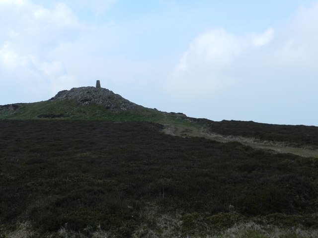
Mynydd y Graig
Hill, Mountain in Caernarfonshire
Wales
Mynydd y Graig
The requested URL returned error: 429 Too Many Requests
If you have any feedback on the listing, please let us know in the comments section below.
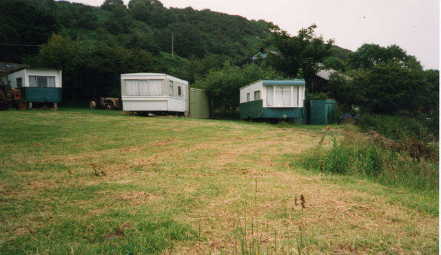
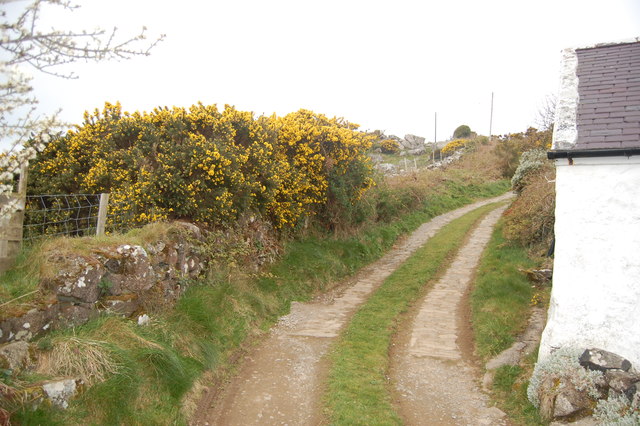
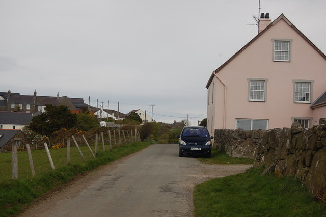
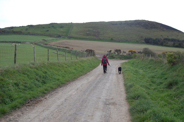
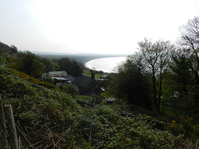
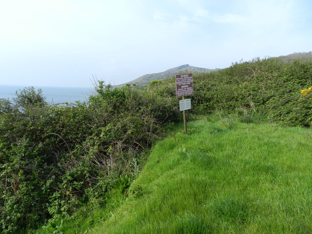
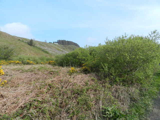
Mynydd y Graig Images
Images are sourced within 2km of 52.815262/-4.6309491 or Grid Reference SH2227. Thanks to Geograph Open Source API. All images are credited.


Mynydd y Graig is located at Grid Ref: SH2227 (Lat: 52.815262, Lng: -4.6309491)
Unitary Authority: Gwynedd
Police Authority: North Wales
What 3 Words
///airports.employers.verse. Near Nefyn, Gwynedd
Nearby Locations
Related Wikis
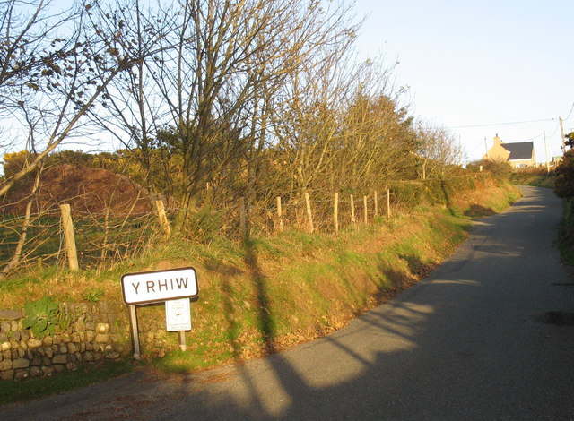
Y Rhiw
Y Rhiw () is a small village on the south west tip of the Llŷn Peninsula in Gwynedd, Wales. The village forms part of the community of Aberdaron. From...
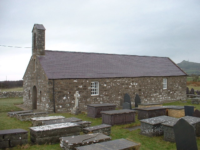
Llanfaelrhys
Llanfaelrhys is a village and former civil parish in the Welsh county of Gwynedd, located on the Llŷn Peninsula. The parish was abolished in 1934 and...

Bryncroes
Bryncroes is a hamlet and former civil parish in Gwynedd in Wales, and lies on the Llŷn Peninsula approximately 2 km west of Sarn Meyllteyrn. The parish...

Llandegwning
Llandegwning is a village and former civil parish in the Welsh county of Gwynedd. The parish was abolished in 1934, and incorporated into Botwnnog....
Nearby Amenities
Located within 500m of 52.815262,-4.6309491Have you been to Mynydd y Graig?
Leave your review of Mynydd y Graig below (or comments, questions and feedback).