Barbae Hill
Hill, Mountain in Ayrshire
Scotland
Barbae Hill
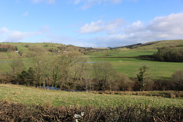
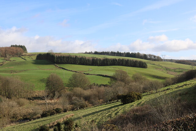
Barbae Hill is a prominent hill located in Ayrshire, a historic county in southwest Scotland. It is situated near the village of Straiton, approximately 16 miles southeast of Ayr. Rising to an elevation of 1,478 feet (451 meters), Barbae Hill is considered one of the highest hills in the region, offering spectacular views of the surrounding countryside.
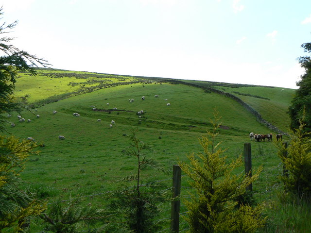
The hill is part of the Galloway Hills, a range of rolling hills and low mountains that stretch across the southern end of Scotland. Barbae Hill is characterized by its steep slopes, rocky outcrops, and heather-covered moorland. It is predominantly composed of granite and gneiss rocks, which add to its rugged appeal.
Barbae Hill is popular among outdoor enthusiasts, particularly hikers and hillwalkers, who are drawn to its challenging terrain and panoramic vistas. Several well-marked trails lead to the summit, providing varying levels of difficulty for different skill levels. The ascent can be demanding, but the rewarding views from the top make it all worthwhile.
The hill is also home to a diverse range of flora and fauna, including heather, bilberry, and numerous bird species such as peregrine falcons and golden eagles. It is a designated Site of Special Scientific Interest (SSSI) due to its ecological importance and geological features.
With its natural beauty and recreational opportunities, Barbae Hill attracts visitors from near and far, offering an invigorating escape into the stunning Scottish countryside.
If you have any feedback on the listing, please let us know in the comments section below.
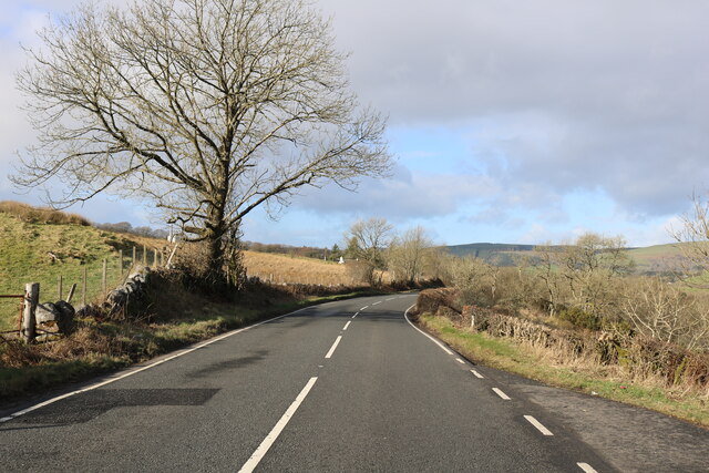
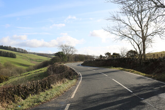
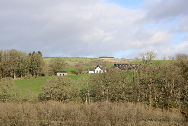
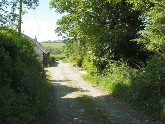
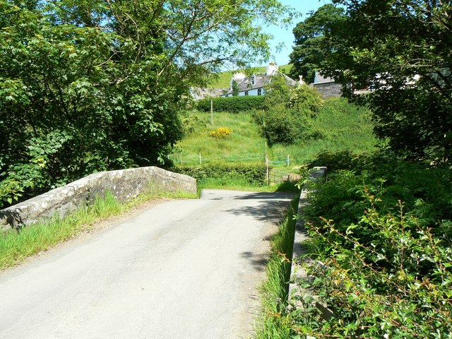
Barbae Hill Images
Images are sourced within 2km of 55.133237/-4.7830938 or Grid Reference NX2285. Thanks to Geograph Open Source API. All images are credited.


Barbae Hill is located at Grid Ref: NX2285 (Lat: 55.133237, Lng: -4.7830938)
Unitary Authority: South Ayrshire
Police Authority: Ayrshire
What 3 Words
///upward.watchdogs.perfumes. Near Girvan, South Ayrshire
Nearby Locations
Related Wikis

Pinwherry
Pinwherry is a hamlet in the civil parish of Colmonell, in the council area of South Ayrshire, Scotland. It is 8 miles south of Girvan. In 1961 it had...

Barrhill, South Ayrshire
Barrhill (Scots: Baurhill) is a village in South Ayrshire, Scotland with a population of approximately 400 in 2001.While the surrounding area is predominantly...

Pinwherry railway station
Pinwherry railway station served the village of Pinwherry, South Ayrshire, Scotland from 1887 to 1965 on the Girvan and Portpatrick Junction Railway....

Barrhill railway station
Barrhill railway station is a railway station serving the village of Barrhill, South Ayrshire, Scotland. The station is managed by ScotRail and is on the...
Nearby Amenities
Located within 500m of 55.133237,-4.7830938Have you been to Barbae Hill?
Leave your review of Barbae Hill below (or comments, questions and feedback).