An Guirean

Hill, Mountain in Inverness-shire

Scotland

An Guirean

Footbridge over the Allt nan Slat Path and footbridge runs over the trackbed of the former "Puggy Line"
Footbridge over the Allt nan Slat Credit: valenta

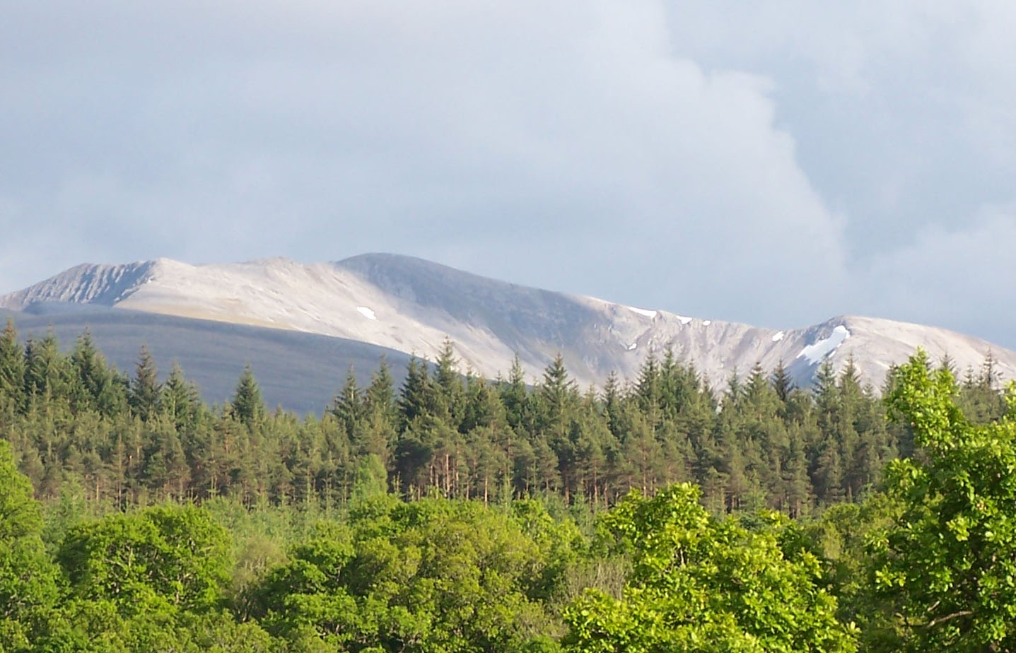
An Guirean is a prominent hill located in the county of Inverness-shire, Scotland. It stands at an elevation of approximately 1,074 meters (3,524 feet) above sea level, making it one of the notable mountains in the area. Situated within the Scottish Highlands, An Guirean offers breathtaking panoramic views of the surrounding landscape.

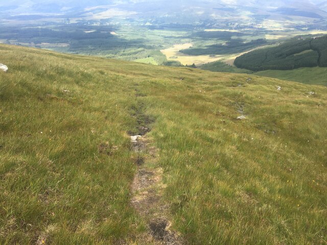
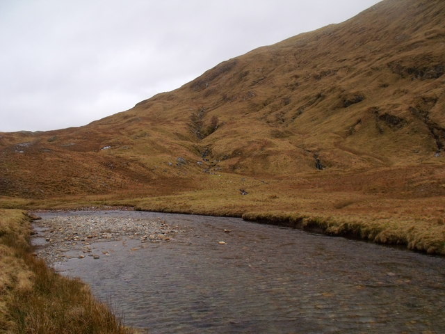
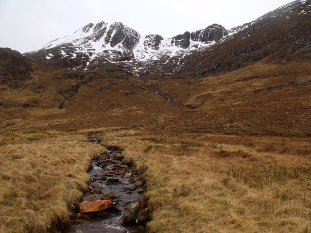
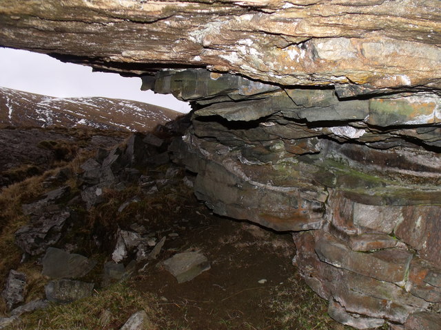
The hill is known for its rugged terrain and challenging hiking trails, attracting outdoor enthusiasts and nature lovers alike. Its slopes are covered with heather, grass, and various wildflowers, creating a picturesque setting. There are also scattered rock formations and boulders, adding to the mountain's unique character.

An Guirean is part of the larger mountain range known as the Monadhliath Mountains. These mountains are known for their remote and untouched beauty, offering a peaceful and tranquil environment for those seeking solitude. The area is also home to a diverse range of wildlife, including red deer, mountain hares, and numerous bird species.

The hill is accessible from multiple starting points, with well-marked paths leading to the summit. The ascent can be challenging, particularly in adverse weather conditions, so it is essential for hikers to be well-prepared and have the necessary equipment.

Overall, An Guirean is a stunning natural landmark in Inverness-shire, offering visitors a chance to immerse themselves in the beauty of the Scottish Highlands while experiencing the thrill of mountain climbing.

If you have any feedback on the listing, please let us know in the comments section below.

An Guirean Images

Images are sourced within 2km of 56.835933/-4.9149796 or Grid Reference NN2275. Thanks to Geograph Open Source API. All images are credited.

Footbridge over the Allt nan Slat Path and footbridge runs over the trackbed of the former "Puggy Line"
Footbridge over the Allt nan Slat
Path and footbridge runs over the trackbed of the former "Puggy Line"
Allt Coire an Eoin Landrover track to the dam and intake just out of view below the hill
Allt Coire an Eoin
Landrover track to the dam and intake just out of view below the hill
Aonach Mòr Mountain Bike Trail Following the course of the dismantled tramway known as the "Puggy Line".
Aonach Mòr Mountain Bike Trail
Following the course of the dismantled tramway known as the "Puggy Line".
Aonach Mòr Mountain Bike Trail Following the course of the dismantled tramway known as the "Puggy Line", in this view, the old tramway telegraph poles are still in-situ. The mountain bike trail deviates slightly from the course shown on the map and follows the more northern route of the old tramway until it rejoins the route marked on the OS maps heading north parallel to the Allt Coire an Eoin
Aonach Mòr Mountain Bike Trail
Following the course of the dismantled tramway known as the "Puggy Line", in this view, the old tramway telegraph poles are still in-situ. The mountain bike trail deviates slightly from the course shown on the map and follows the more northern route of the old tramway until it rejoins the route marked on the OS maps heading north parallel to the Allt Coire an Eoin
Aonach Mòr Mountain Bike Trail The trail deviates slightly to the east from that shown on the OS maps, generally running parallel to the Allt Coire an Eoin
Aonach Mòr Mountain Bike Trail
The trail deviates slightly to the east from that shown on the OS maps, generally running parallel to the Allt Coire an Eoin
Route of the 'puggy line' This was once the route of the Lochaber Narrow Gauge Railway.
Route of the 'puggy line'
This was once the route of the Lochaber Narrow Gauge Railway.
Footbridge over Allt nan Slat This was once the route of the Lochaber Narrow Gauge Railway.
Footbridge over Allt nan Slat
This was once the route of the Lochaber Narrow Gauge Railway.
Path on northern slopes of Beinn na Socaich
Rough path on Beinn na Socaich
Northern slopes of Beinn na Socaich
A broad reach of Allt a' Coire Eoin in Killiechonate Forest
Allt Coire an Fhir Duibh in Killiechonate Forest
Riverbank erosion on Allt Coire na Eoin in Killiechonate Forest
Rock undercut in Killiechonate Forest Igneous rock overlies weaker,possibly sedimentary, rock to create this cut above Allt Coire an Eoin. There was sign of use by sheep as a shelter.
Rock undercut in Killiechonate Forest
Igneous rock overlies weaker,possibly sedimentary, rock to create this cut above Allt Coire an Eoin. There was sign of use by sheep as a shelter.
Undercut above Allt na Coire Eoin in Killiechonate
Undercut on ridge above Allt na Coire Eoin in Killiechonate Forest
Rock undercut above Allt na Coire Eoin in Killiechonate Forest
Allt Coire an Eoin in Killiechonate Forest
Show me another place!

An Guirean is located at Grid Ref: NN2275 (Lat: 56.835933, Lng: -4.9149796)

Unitary Authority: Highland

Police Authority: Highlands and Islands

What 3 Words

///renewals.terribly.thinker. Near Gairlochy, Highland

Related Wikis

Stob Coire an Laoigh

Stob Coire an Laoigh (Scottish Gaelic: Peak of the corrie of the calf) is a Scottish mountain in The Grey Corries Range, 15 kilometres north east of Kinlochleven...

Grey Corries

The Grey Corries are a range of mountains in the West Highlands of Scotland. The range includes several of Scotland's highest peaks including a number...

Aonach Mòr

Aonach Mòr is a mountain in the Scottish Highlands. It is located about two miles (three kilometres) northeast of Ben Nevis on the south side of Glen Spean...

Stob Choire Claurigh

Stob Choire Claurigh (Scottish Gaelic: Stob Coire Chlamhraidh) is a mountain in Lochaber in the Scottish Highlands, with a height of 1,177 metres (3,862...

Have you been to An Guirean?

Leave your review of An Guirean below (or comments, questions and feedback).