Black Hill
Hill, Mountain in Ayrshire
Scotland
Black Hill

Black Hill is a prominent hill located in Ayrshire, Scotland. With a height of approximately 317 meters (1,040 feet), it is classified as a hill rather than a mountain. Situated near Muirkirk, Black Hill is part of a range of hills known as the Southern Uplands.
The hill is characterized by its distinctive appearance, featuring a rounded summit and steep slopes covered in heather and grass. It offers panoramic views of the surrounding countryside, including the nearby towns of Cumnock and Ayr. On clear days, it is even possible to see the Isle of Arran and the Firth of Clyde in the distance.
Black Hill is a popular destination for outdoor enthusiasts, with various walking and hiking trails available to explore its slopes. The main route to the summit starts near the village of Muirkirk, providing a challenging but rewarding climb for visitors. The hill is also home to a diverse range of wildlife, including birds of prey, deer, and small mammals, making it a haven for nature lovers.
Historically, Black Hill played a significant role in the mining industry of Ayrshire. The hill contains coal seams that were extensively mined during the 19th and early 20th centuries. Today, remnants of the mining industry can still be seen on the slopes, adding to the area's historical significance.
Overall, Black Hill offers a captivating blend of natural beauty, recreational opportunities, and historical importance, making it a must-visit destination for those seeking to explore the Ayrshire countryside.
If you have any feedback on the listing, please let us know in the comments section below.
Black Hill Images
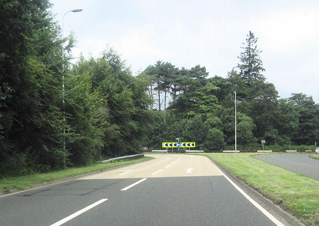
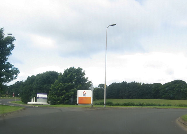
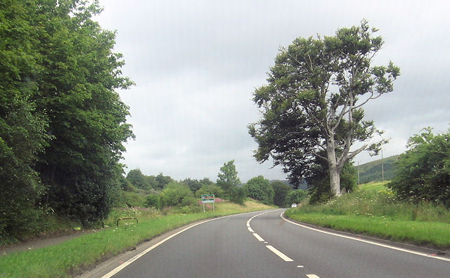
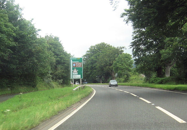
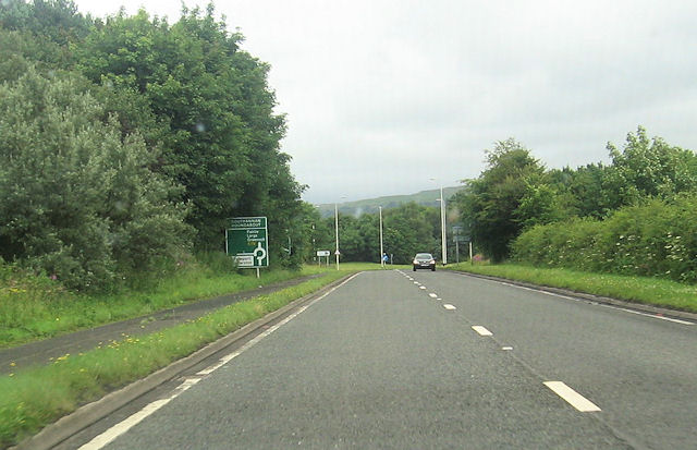
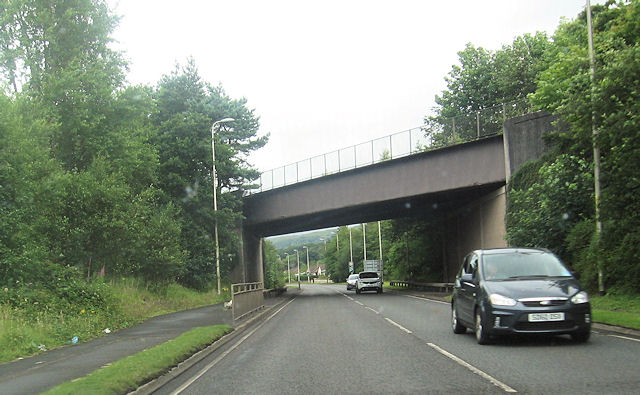
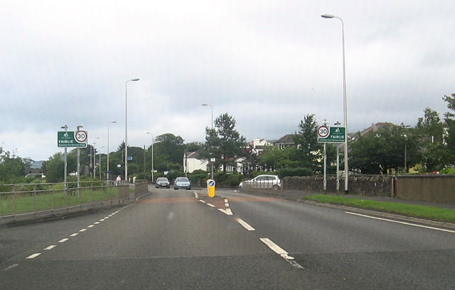
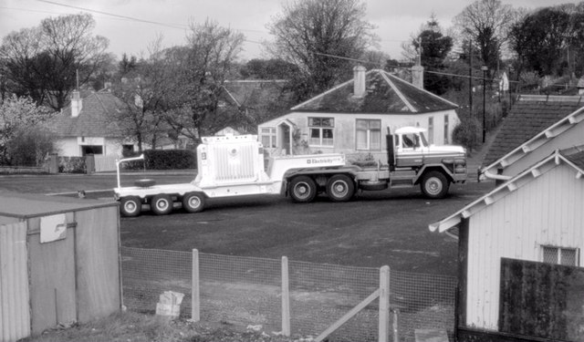
Images are sourced within 2km of 55.738991/-4.8442115 or Grid Reference NS2153. Thanks to Geograph Open Source API. All images are credited.


Black Hill is located at Grid Ref: NS2153 (Lat: 55.738991, Lng: -4.8442115)
Unitary Authority: North Ayrshire
Police Authority: Ayrshire
What 3 Words
///purple.rinsed.bonfires. Near Fairlie, North Ayrshire
Nearby Locations
Related Wikis
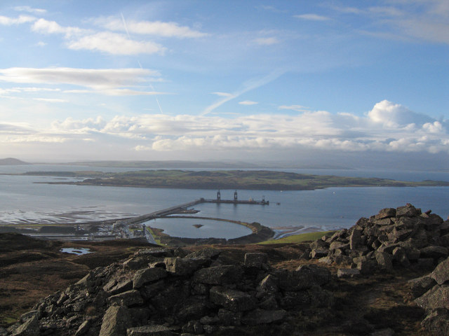
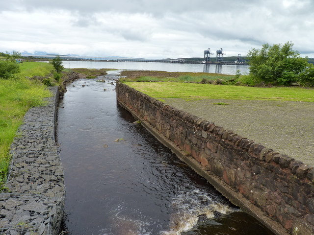
Hunterston Terminal
Hunterston Terminal, in North Ayrshire, Scotland, was an iron ore and coal-handling port located at Fairlie on the Firth of Clyde, operated by Clydeport...

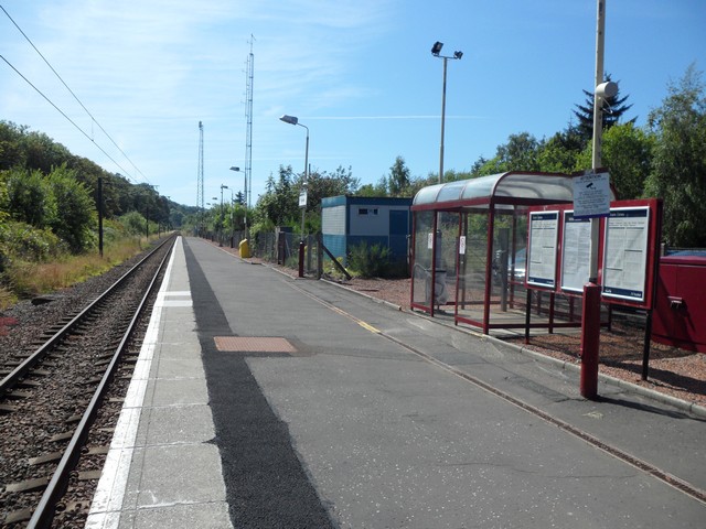
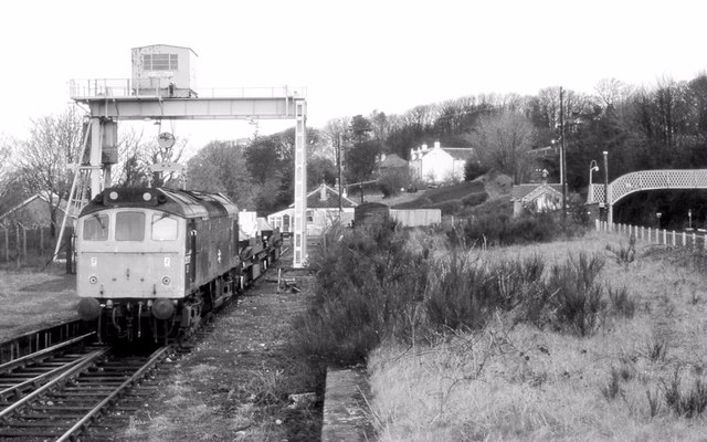
Fairlie railway station
Fairlie railway station serves the village of Fairlie, North Ayrshire, Scotland. The station is managed by ScotRail and is on the Ayrshire Coast Line....
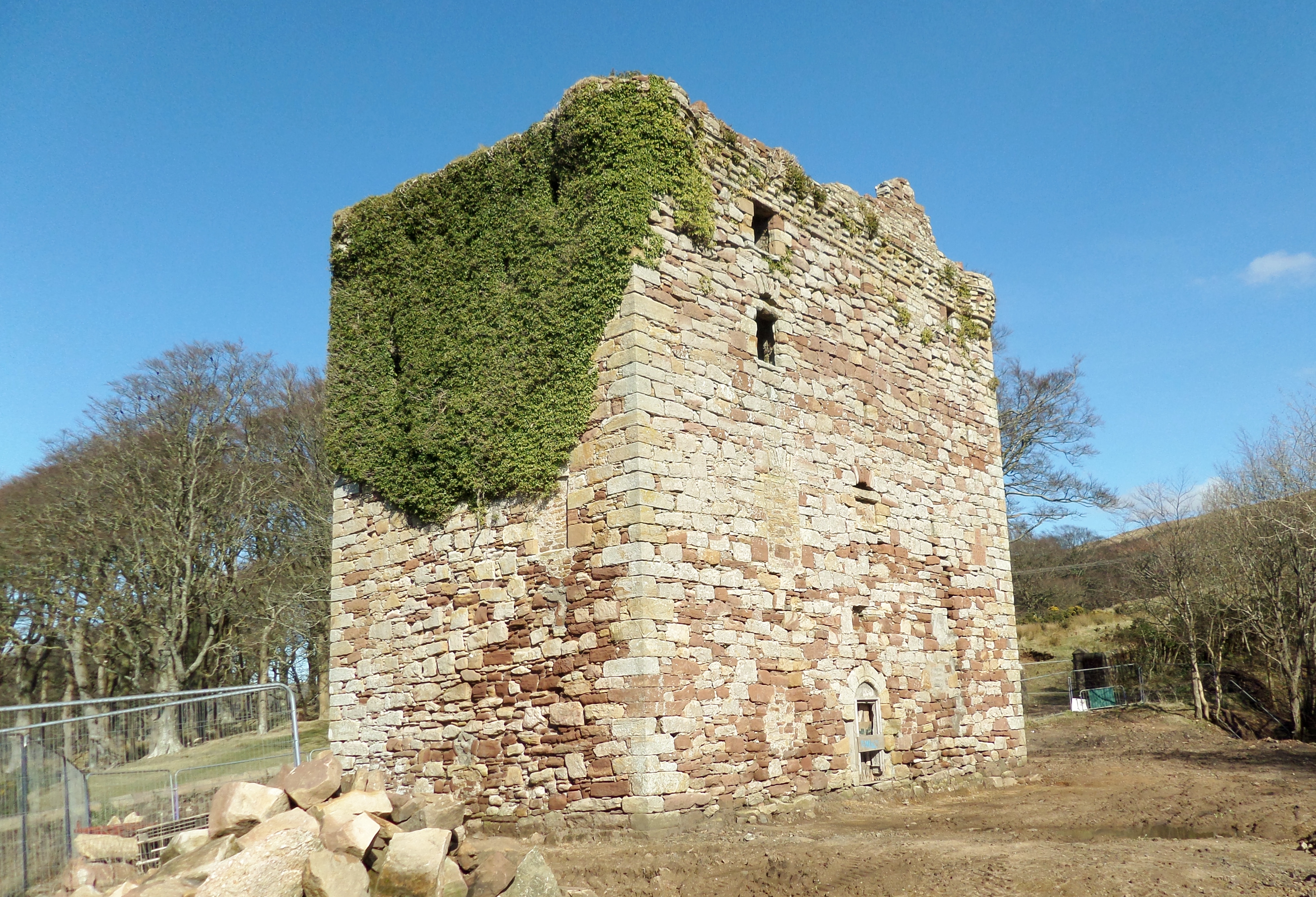
Fairlie Castle
Fairlie Castle is a restored oblong tower castle located on a natural rounded knoll situated above a precipitous section of the Fairlie Glen near the town...
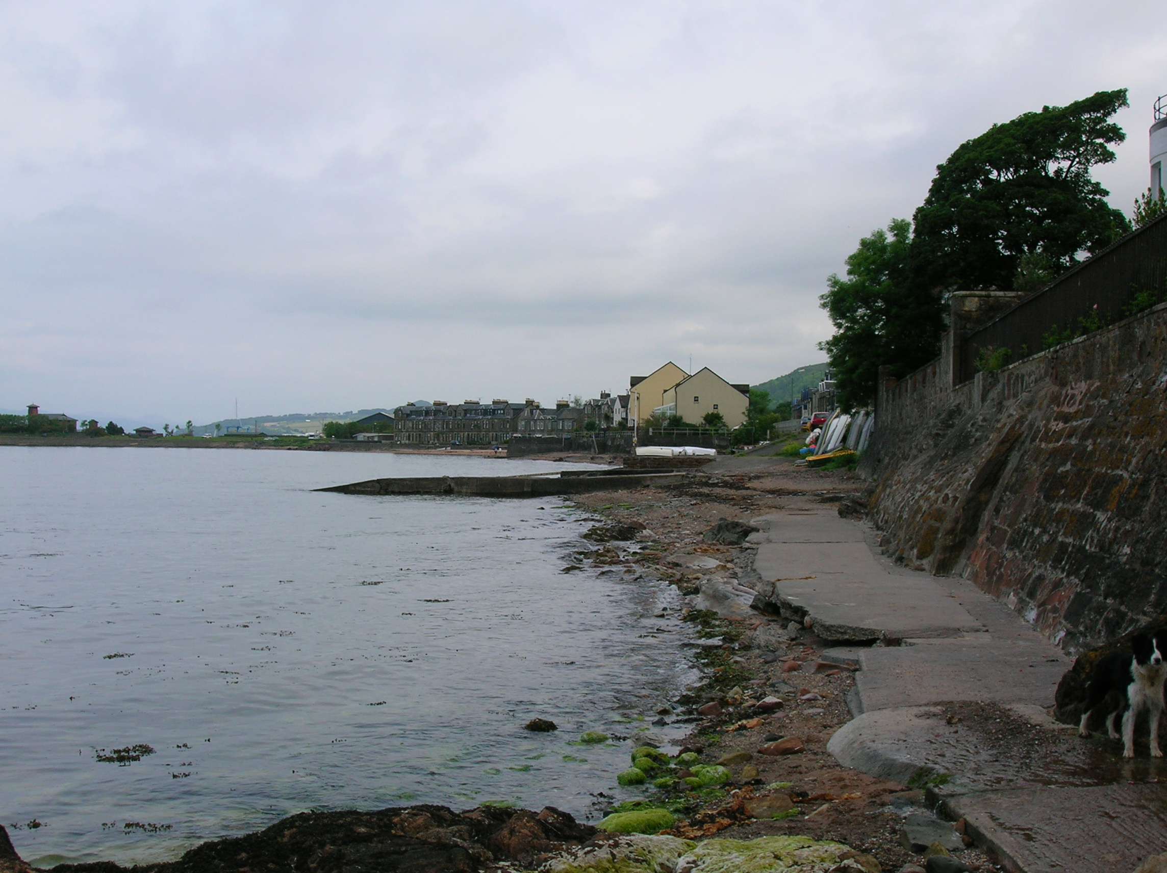
Fairlie, North Ayrshire
Fairlie is a village in North Ayrshire, Scotland. == Location and status == Fairlie sits on the eastern shore of the Firth of Clyde and looks across to...
Nearby Amenities
Located within 500m of 55.738991,-4.8442115Have you been to Black Hill?
Leave your review of Black Hill below (or comments, questions and feedback).