Higher Walton

Settlement in Lancashire South Ribble

England

Higher Walton

M6 northbound
M6 northbound Credit: Alpin Stewart

Higher Walton is a small village located in the county of Lancashire, England. It is situated about 4 miles southwest of the city of Preston, within the borough of South Ribble. The village is surrounded by picturesque countryside and offers a peaceful setting for its residents.

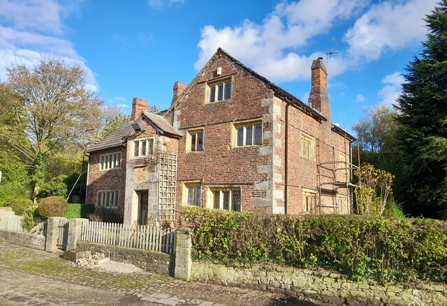
The village has a rich history that dates back to medieval times, with evidence of settlement in the area since the 13th century. The architecture in Higher Walton reflects its historical roots, with some buildings dating back several centuries. The village has managed to retain its traditional charm and character over the years.

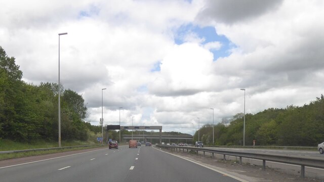
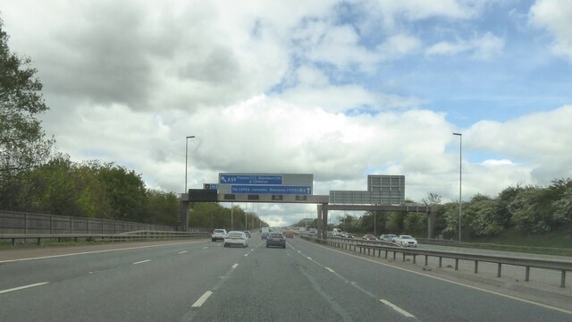
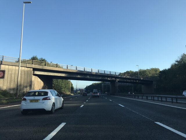
Higher Walton is home to a close-knit community that enjoys a range of local amenities. These include a primary school, a pub, a church, and a village hall, which serves as a hub for various activities and events. The village also benefits from good transport links, with easy access to major road networks such as the M6 motorway, making it a convenient location for commuters.

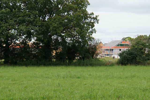
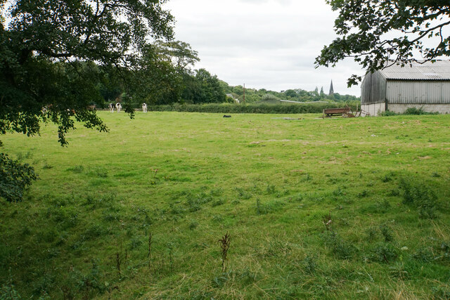
The surrounding countryside offers plenty of opportunities for outdoor activities such as walking, cycling, and horse riding. There are also several parks and nature reserves nearby where residents can enjoy the beauty of the Lancashire countryside.

Overall, Higher Walton is a charming village with a strong sense of community and a rich history. Its idyllic location and range of amenities make it an attractive place to live for those seeking a peaceful and picturesque setting.

If you have any feedback on the listing, please let us know in the comments section below.

Higher Walton Images

Images are sourced within 2km of 53.737248/-2.635183 or Grid Reference SD5826. Thanks to Geograph Open Source API. All images are credited.

M6 northbound
M6 northbound
Gantries over M6
Gantries over M6
Passing a Building Site in Coup Green The footpath keeps to the right of the hedge, only to come to an abrupt halt as it crosses a small footbridge a few yards further on. The building company has sealed off access without prior warning.
Option one is to turn around and walk back to Hoghton.
Option two is to be creative and find a channel to wriggle around all obstacles to bypass the site.
Option three, recommended for athletes and Marines only, vault over the 8ft high barrier and walk through construction workings without breaking stride.
Passing a Building Site in Coup Green
The footpath keeps to the right of the hedge, only to come to an abrupt halt as it crosses a small footbridge a few yards further on. The building company has sealed off access without prior warning. Option one is to turn around and walk back to Hoghton. Option two is to be creative and find a channel to wriggle around all obstacles to bypass the site. Option three, recommended for athletes and Marines only, vault over the 8ft high barrier and walk through construction workings without breaking stride.
Footbridge over Beeston Brook Not the most attractive brook, being sluggish with a fair amount of litter thrown in.
It carries the footpath between Coup Green and Fleetwood Hall over the brook in Beeston Wood.
Footbridge over Beeston Brook
Not the most attractive brook, being sluggish with a fair amount of litter thrown in. It carries the footpath between Coup Green and Fleetwood Hall over the brook in Beeston Wood.
M61 bridge - northbound M6
Cottage Lane bridge - northbound M6
Cuerdale Lane bridge - northbound M6
Hoghton Lane, Coupe Green The A675 at the eastern end of the village, at its junction with Bells Lane.
Hoghton Lane, Coupe Green
The A675 at the eastern end of the village, at its junction with Bells Lane.
New housing on the edge of Coupe Green The former field at the end of Manor Close is now being built on, as viewed from the next field.
New housing on the edge of Coupe Green
The former field at the end of Manor Close is now being built on, as viewed from the next field.
Path through the hedge Part of a footpath on the eastern side of Coupe Green.
Path through the hedge
Part of a footpath on the eastern side of Coupe Green.
Path by the River Darwen Carver Fold is straight ahead.
Path by the River Darwen
Carver Fold is straight ahead.
Field for cattle at Carver Fold Further away, you can see the spire of All Saints Church, Higher Walton.
Field for cattle at Carver Fold
Further away, you can see the spire of All Saints Church, Higher Walton.
Bridge over the River Darwen Carrying a footpath between Coupe Green and Potter Lane.
Bridge over the River Darwen
Carrying a footpath between Coupe Green and Potter Lane.
Farmer's challenge laid down It appears you are allowed into this field if you can cross it in 9 seconds, one second quicker than the bull.
Farmer's challenge laid down
It appears you are allowed into this field if you can cross it in 9 seconds, one second quicker than the bull.
Fields by the River Darwen Looking across the river valley from the higher ground on which Coupe Green sits.
Fields by the River Darwen
Looking across the river valley from the higher ground on which Coupe Green sits.
Osbaldeston House near Walton-Le- Dale Farmhouse dated 1661, with later addition; now house. Brick on stone
plinth, stone dressings, slate roof with chimneys at left gable, on ridge,
and at right side. L-shaped plan, both elements of 2 bays. Two and 2½
storeys. Front formed by 2½ storey gable of C17 house with 2-storey later
addition to the left; at the junction, and rising only to the eaves, is a
2-storey gabled porch, the front of its ground floor all of stone,
continued above as quoins, with a chamfered doorway, above this a stone
tablet (protected by a straight dripstone), the 4 corners and the centre of
which are lettered in relief: 1 6/ O/ WD/ 6 1 (= William and Dorothy Osbaldeston)
and at 1st floor a 3-light moulded stone mullion window. Right of the
porch the C17 house has stone quoins, single-course brick bands on 2 levels,
and double chamfered stone mullion windows in all walls: at the front, of
2 and 3 lights at ground floor (slightly different levels), 2 and 3 lights
at 1st floor, and 3 lights in the attic; at the side 3 and 4 lights at
ground floor, 3 and 3 above; and at the back, 5, 5 and 3 lights.
Extension left of porch has sashed windows with segmental brick heads in
the 1st bay, low sashed windows in the 2nd bay. Rear has a lean-to in the
re-entrant, and sashed windows with glazing bars in the 1st bay. Interior:
the C17 part has ovolo moulded beams on both floors, a diamond-pattern
stone flagged floor in the entrance hall, cross-corner fireplaces in both
ground floor rooms, an original dog leg staircase with turned balusters,
and a purlin roof. Remarkably complete survival of interior detail of
this period.

Grade II* listed in 1960 - source <span class="nowrap"><a title="https://historicengland.org.uk/listing/the-list/list-entry/1290091?section=official-list-entry" rel="nofollow ugc noopener" href="https://historicengland.org.uk/listing/the-list/list-entry/1290091?section=official-list-entry">Link</a><img style="margin-left:2px;" alt="External link" title="External link - shift click to open in new window" src="https://s1.geograph.org.uk/img/external.png" width="10" height="10"/></span>
Osbaldeston House near Walton-Le- Dale
Farmhouse dated 1661, with later addition; now house. Brick on stone plinth, stone dressings, slate roof with chimneys at left gable, on ridge, and at right side. L-shaped plan, both elements of 2 bays. Two and 2½ storeys. Front formed by 2½ storey gable of C17 house with 2-storey later addition to the left; at the junction, and rising only to the eaves, is a 2-storey gabled porch, the front of its ground floor all of stone, continued above as quoins, with a chamfered doorway, above this a stone tablet (protected by a straight dripstone), the 4 corners and the centre of which are lettered in relief: 1 6/ O/ WD/ 6 1 (= William and Dorothy Osbaldeston) and at 1st floor a 3-light moulded stone mullion window. Right of the porch the C17 house has stone quoins, single-course brick bands on 2 levels, and double chamfered stone mullion windows in all walls: at the front, of 2 and 3 lights at ground floor (slightly different levels), 2 and 3 lights at 1st floor, and 3 lights in the attic; at the side 3 and 4 lights at ground floor, 3 and 3 above; and at the back, 5, 5 and 3 lights. Extension left of porch has sashed windows with segmental brick heads in the 1st bay, low sashed windows in the 2nd bay. Rear has a lean-to in the re-entrant, and sashed windows with glazing bars in the 1st bay. Interior: the C17 part has ovolo moulded beams on both floors, a diamond-pattern stone flagged floor in the entrance hall, cross-corner fireplaces in both ground floor rooms, an original dog leg staircase with turned balusters, and a purlin roof. Remarkably complete survival of interior detail of this period. Grade II* listed in 1960 - source LinkExternal link
Level crossing On Gregson Lane.
Level crossing
On Gregson Lane.
Railway tracks From a level crossing at Gregson Lane.
Railway tracks
From a level crossing at Gregson Lane.
Show me another place!

Higher Walton is located at Grid Ref: SD5826 (Lat: 53.737248, Lng: -2.635183)

Administrative County: Lancashire

District: South Ribble

Police Authority: Lancashire

What 3 Words

///fans.tower.employ. Near Clayton-le-Woods, Lancashire

Nearby Locations

Higher Walton

Related Wikis

All Saints Church, Higher Walton

All Saints Church is in Blackburn Road in the village of Higher Walton, Lancashire, England. It is an active Anglican parish church in the deanery of Leyland...

Higher Walton, Lancashire

Higher Walton is a village in South Ribble, Lancashire, England. It is on the old road between Blackburn and Preston where it crosses the River Darwen...

Gregson Lane

Gregson Lane is a village in Lancashire, England. It is situated between Bamber Bridge, Higher Walton, Coupe Green and Brindle, and is within four miles...

Walton-le-Dale High School

Walton-le-Dale High School, formerly known as Walton-le-Dale Arts College and High School, is a secondary school near Preston, Lancashire, England. �...

Coupe Green

Coupe Green or Coup Green is a village in Lancashire, England. It is located on the A675 between Higher Walton and Hoghton. The village is in the borough...

Walton Summit

Walton Summit is an industrial area between Clayton Brook and Bamber Bridge, near Preston in Lancashire, England. It is in the South Ribble district. It...

Brownedge St Mary's Catholic High School

Brownedge St Mary's Catholic High School is a coeducational secondary school located in Bamber Bridge in the English county of Lancashire.It is a voluntary...

Bamber Bridge

Bamber Bridge is a large village in Lancashire, England, 3 miles (5 km) south-east of Preston, in the borough of South Ribble. The name derives from the...

Nearby Amenities

Located within 500m of 53.737248,-2.635183
Post Box
Collection Times: Mo-Fr 09:00; Sa 07:00
Operator: Royal Mail
Postal Code: PR5
Ref: PR5 410D
Lat/Long: 53.7378944/-2.6364843
Post Box
Collection Times: Mo-Fr 09:00; Sa 07:00
Operator: Royal Mail
Post Box Type: lamp
Ref: PR5 315D
Royal Cypher: EIIR
Royal Cypher Wikidata: Q33102113
Lat/Long: 53.7398123/-2.6357193
Barrier: stile
Lat/Long: 53.7369279/-2.6297279
Barrier: stile
Lat/Long: 53.7393737/-2.6299103
Bus Stop
Higher Walton, Hawthorne Avenue
Public Transport: platform
Ref: landptwj;2500IMG1304
Source: survey
Lat/Long: 53.7398042/-2.6359306
Bus Stop
Higher Walton, Thorn Bush
Note: FIXME - ref number is incomplete
Public Transport: platform
Ref: landptwp;2500IMG130?
Source: survey
Lat/Long: 53.740438/-2.6308837
Bus Stop
Higher Walton, opposite Thorn Bush
Public Transport: platform
Ref: unknown
Shelter: no
Source: survey
Lat/Long: 53.7403818/-2.6298784
Bus Stop
Higher Walton, opposite Hawthorne Avenue
Naptan AtcoCode: 2500DCL3117
Naptan NaptanCode: landgpgd
Public Transport: platform
Ref: landgpgd;2500DCL3117
Shelter: yes
Source: survey;Bing
Lat/Long: 53.7397436/-2.6338511
Bus Stop
Gregson Lane / Charles Crescent
Public Transport: platform
Ref: langmtdg;2500JB52
Route Ref: 150;352
Shelter: yes
Source: survey
Lat/Long: 53.7381554/-2.6373026
Bus Stop
Gregson Lane / Charles Crescent
Public Transport: platform
Ref: langmtda?;2500JB51
Source: survey
Lat/Long: 53.7379905/-2.6364314
Bus Stop
Gregson Lane / The Castle
Public Transport: platform
Route Ref: 150;352
Shelter: no
Source: survey
Lat/Long: 53.7372622/-2.6332796
Bus Stop
Gregson Lane / The Castle
Public Transport: platform
Ref: langmtdj?/2500JB53
Source: survey
Lat/Long: 53.7371846/-2.6320395
Bus Stop
Gregson Lane / Cooper House Farm
Public Transport: platform
Ref: 2500GRL00001
Shelter: no
Source: survey
Lat/Long: 53.7366447/-2.6278077
Bus Stop
Gregson Lane / Cooper House Farm
Naptan AtcoCode: 2500GRL00002
Naptan NaptanCode: lanjwdgw
Public Transport: platform
Ref: 2500GRL00002
Route Ref: 150
Shelter: no
Source: survey
Lat/Long: 53.7365396/-2.6278527
Noexit: yes
Source: Bing
Lat/Long: 53.7409978/-2.6374569
Turning Circle
Source: Bing
Lat/Long: 53.7401221/-2.6390071
Addr Housenumber: 9;10
Addr Street: Ashtree Court
Entrance: yes
Lat/Long: 53.7396276/-2.636389
Noexit: yes
Source: Bing
Lat/Long: 53.7408452/-2.636981
Barrier: stile
Foot: yes
Lat/Long: 53.7353278/-2.6354587
Barrier: stile
Lat/Long: 53.7371013/-2.641111
Addr Housenumber: 52
Addr Street: Gregson Lane
Lat/Long: 53.7370778/-2.6326327
Addr Housenumber: 50
Addr Street: Gregson Lane
Lat/Long: 53.737114/-2.6329634
Give Way
Direction: backward
Lat/Long: 53.7397827/-2.6398132
Location: outdoor
Operator: Electricity North West
Power: transformer
Transformer: distribution
Voltage Primary: 33 kVA
Voltage Secondary: 11 kVA
Lat/Long: 53.7400111/-2.6381663
Location: outdoor
Operator: Electricity North West
Power: transformer
Transformer: distribution
Voltage Primary: 33 kVA
Voltage Secondary: 11 kVA
Lat/Long: 53.7400111/-2.6380496
The data included in this document is from www.openstreetmap.org. The data is made available under ODbL.

Have you been to Higher Walton?

Leave your review of Higher Walton below (or comments, questions and feedback).