Barmain Hill
Hill, Mountain in Wigtownshire
Scotland
Barmain Hill

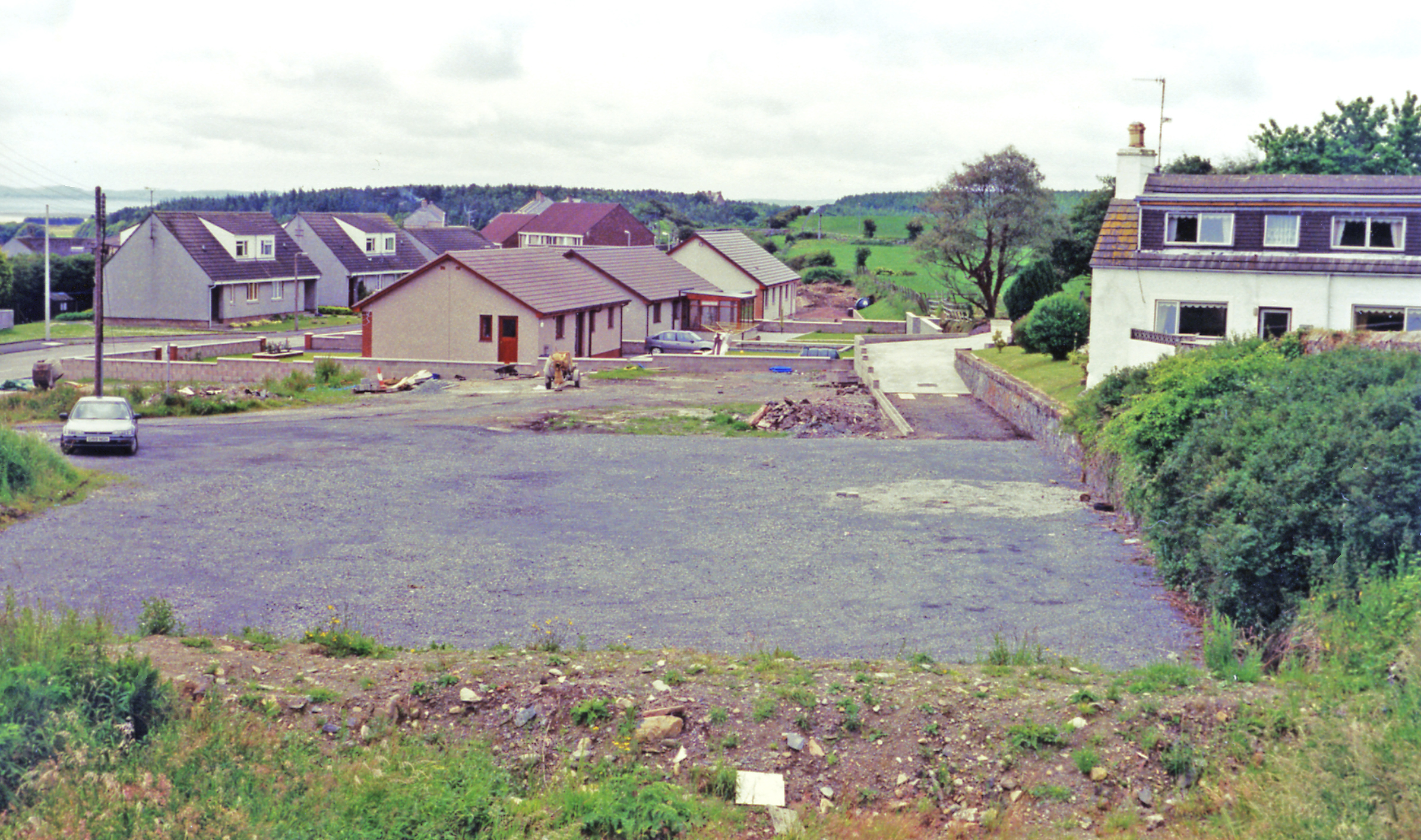
Barmain Hill is a prominent hill located in the region of Wigtownshire, Scotland. It is situated near the village of Glenluce, approximately 8 miles northeast of the town of Stranraer. With an elevation of 292 meters (958 feet), Barmain Hill offers stunning panoramic views of the surrounding countryside.
The hill is characterized by its gentle slopes and smooth grassy terrain, making it easily accessible to hikers and walkers of all experience levels. Several well-marked trails traverse the hill, providing visitors with opportunities to explore its natural beauty. The paths wind through a variety of landscapes, including heather-covered moorland, dense forests, and open meadows.
Barmain Hill is also home to a diverse range of flora and fauna. The hillside is dotted with an array of wildflowers, including bluebells, primroses, and heather, which create a vibrant and colorful landscape during the spring and summer months. The area is also frequented by a variety of bird species, including buzzards, kestrels, and golden plovers, making it a popular spot for birdwatching enthusiasts.
In addition to its natural beauty, Barmain Hill holds historical significance. The hill is known to have ancient burial sites dating back thousands of years, providing a glimpse into the region's rich cultural heritage. The remains of Iron Age settlements have also been discovered in the vicinity, further adding to its archaeological importance.
Overall, Barmain Hill offers a combination of natural beauty, recreational opportunities, and historical significance, making it a must-visit destination for those exploring Wigtownshire.
If you have any feedback on the listing, please let us know in the comments section below.
Barmain Hill Images
Images are sourced within 2km of 54.895115/-4.7905798 or Grid Reference NX2159. Thanks to Geograph Open Source API. All images are credited.
Barmain Hill is located at Grid Ref: NX2159 (Lat: 54.895115, Lng: -4.7905798)
Unitary Authority: Dumfries and Galloway
Police Authority: Dumfries and Galloway
What 3 Words
///diplomat.prepared.unspoiled. Near Stranraer, Dumfries & Galloway
Nearby Locations
Related Wikis
Glenluce railway station
Glenluce station was a station open in 1862 on the former Port Road that was constructed on the Portpatrick and Wigtownshire Joint Railway. It served the...
Old Luce
Old Luce is a civil parish in Dumfries and Galloway, Scotland. It lies in the Machars peninsula, in the traditional county of Wigtownshire. The parish...
Glenluce
Glenluce (Scottish Gaelic: Clachan Ghlinn Lus) is a small village in the parish of Old Luce in Wigtownshire, Scotland.It contains a village shop,a caravan...
Glenluce Abbey
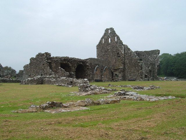
Glenluce Abbey, near to Glenluce, Scotland, was a Cistercian monastery called also Abbey of Luce or Vallis Lucis and founded around 1190 by Rolland or...
Nearby Amenities
Located within 500m of 54.895115,-4.7905798Have you been to Barmain Hill?
Leave your review of Barmain Hill below (or comments, questions and feedback).


