Bain's Hill
Hill, Mountain in Ayrshire
Scotland
Bain's Hill
Bain's Hill is a prominent landmark located in Ayrshire, Scotland. Rising to an elevation of approximately 316 meters (1,037 feet), it is categorized as a hill rather than a mountain due to its moderate height. Situated near the town of Dalmellington, Bain's Hill proudly overlooks the surrounding landscape and offers breathtaking panoramic views of the Ayrshire countryside.
The hill is named after the nearby Bain's Loch, a small freshwater loch situated at its base. The loch, known for its tranquil beauty and abundance of wildlife, serves as a popular destination for nature enthusiasts and bird watchers.
Bain's Hill is covered in dense vegetation, primarily consisting of heather, grasses, and scattered trees. Its slopes are moderately steep, providing a challenging yet rewarding climb for hikers and hillwalkers. The hill is accessible via various footpaths and trails, catering to individuals of all fitness levels.
Aside from its natural beauty, Bain's Hill holds historical significance. It is believed to have been inhabited by ancient settlements, as evidenced by the presence of prehistoric burial cairns and stone circles in the vicinity. This historical heritage adds to the allure of the hill, attracting archaeology enthusiasts and history buffs.
Bain's Hill is a cherished destination for locals and visitors alike, offering an opportunity to connect with nature, explore its rich history, and enjoy breathtaking views of the Ayrshire landscape. Whether one seeks a challenging hike or a peaceful retreat in nature, Bain's Hill is a must-visit destination in Ayrshire.
If you have any feedback on the listing, please let us know in the comments section below.
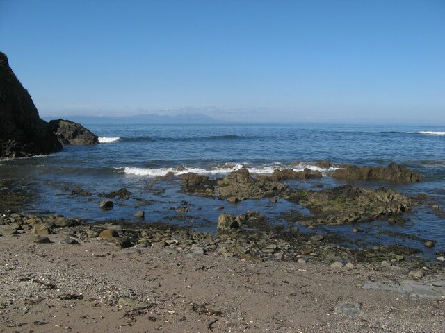
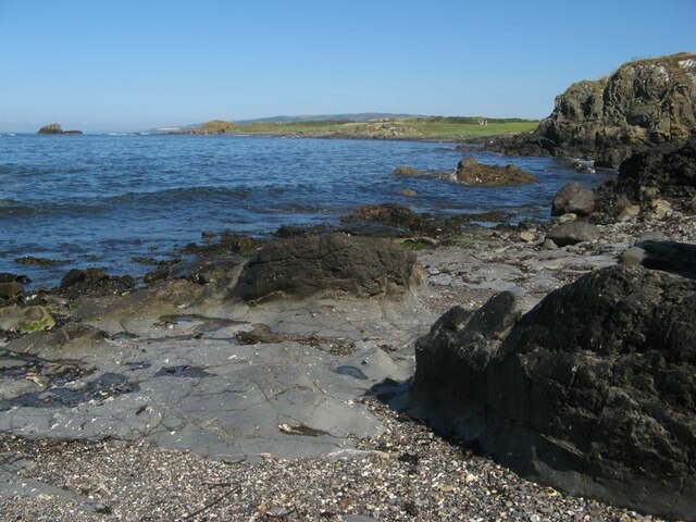
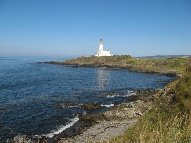
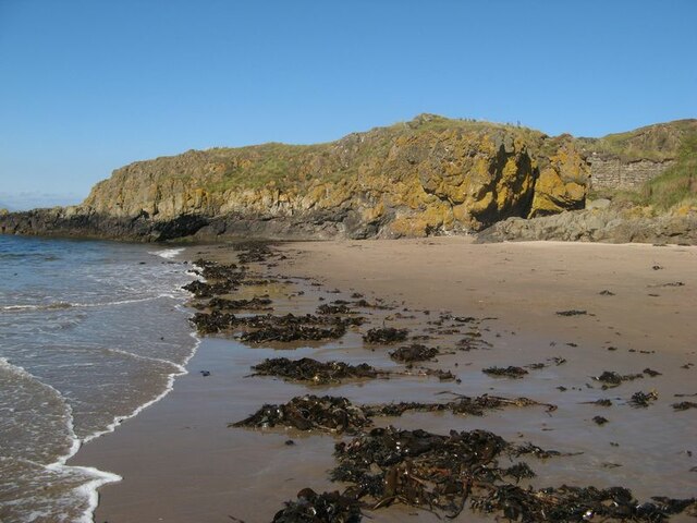
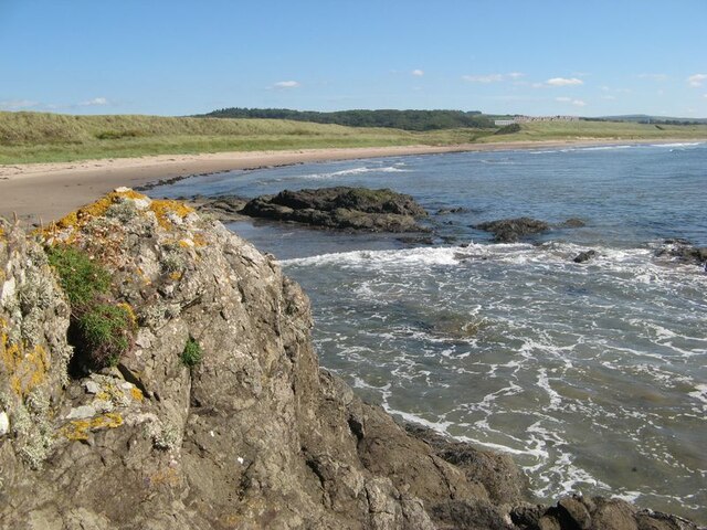
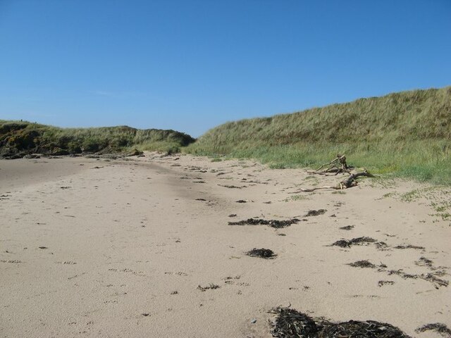
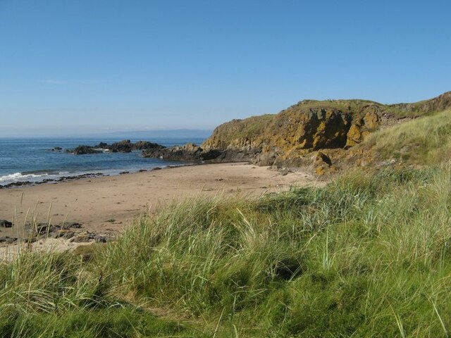
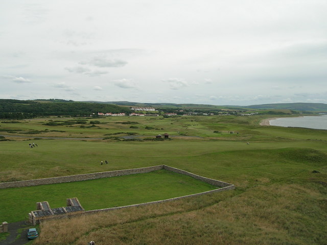
Bain's Hill Images
Images are sourced within 2km of 55.330272/-4.8299322 or Grid Reference NS2007. Thanks to Geograph Open Source API. All images are credited.


Bain's Hill is located at Grid Ref: NS2007 (Lat: 55.330272, Lng: -4.8299322)
Unitary Authority: South Ayrshire
Police Authority: Ayrshire
What 3 Words
///patching.flamenco.mammoth. Near Maybole, South Ayrshire
Nearby Locations
Related Wikis

RAF Turnberry
RAF Turnberry was an airfield in Scotland used by the Royal Flying Corps (RFC) and the Royal Air Force (RAF) during the First World War, and again by...

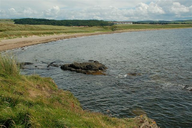
Maidens, South Ayrshire
Maidens is a village in the Kirkoswald parish of Ayrshire, Scotland. Situated on the coast of the Firth of Clyde at the southern end of Maidenhead Bay...

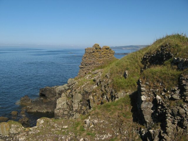
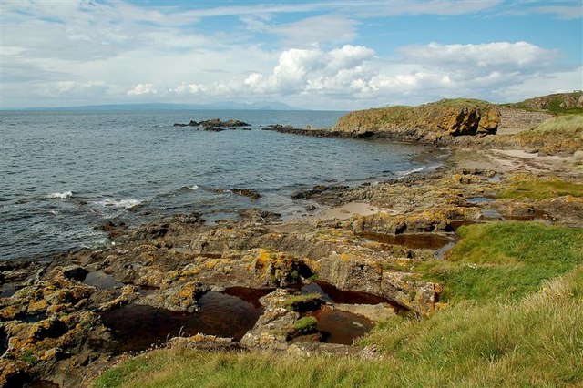
Turnberry Castle
Turnberry Castle is a fragmentary ruin on the coast of Kirkoswald parish, near Maybole in Ayrshire, Scotland. Situated at the extremity of the lower peninsula...
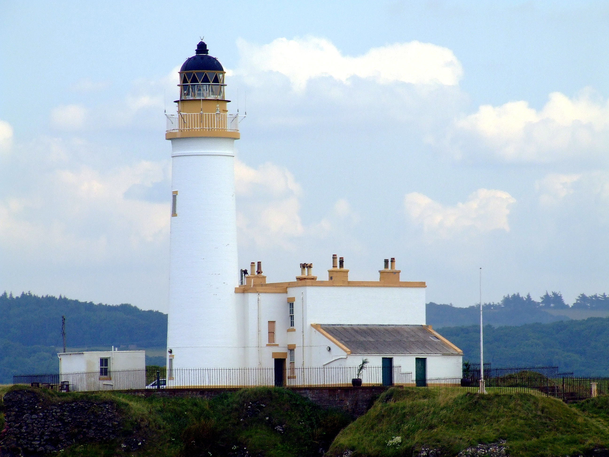
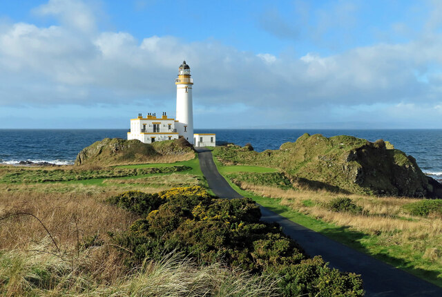
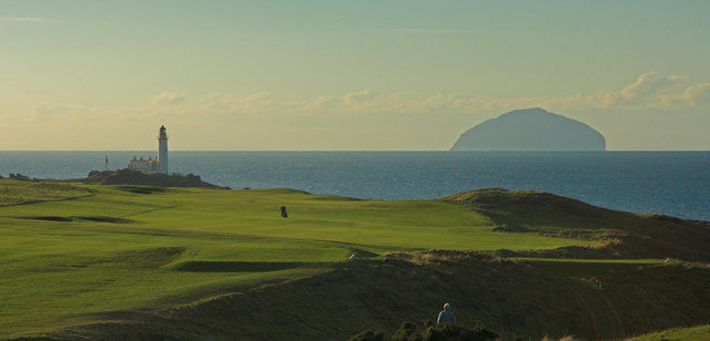
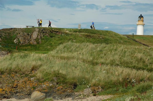
Turnberry Lighthouse
Turnberry Lighthouse. or Turnberry Point Lighthouse, is a category B listed minor light on the South Ayrshire coast of Scotland. It was designed by David...
Nearby Amenities
Located within 500m of 55.330272,-4.8299322Have you been to Bain's Hill?
Leave your review of Bain's Hill below (or comments, questions and feedback).