Piedmont Hill

Hill, Mountain in Ayrshire

Scotland

Piedmont Hill

Laggan Loch Below Troweir Hill, a small circle of clear water in a wetland
Laggan Loch Credit: Richard Webb

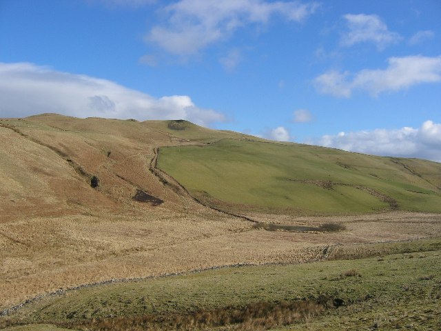
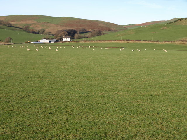
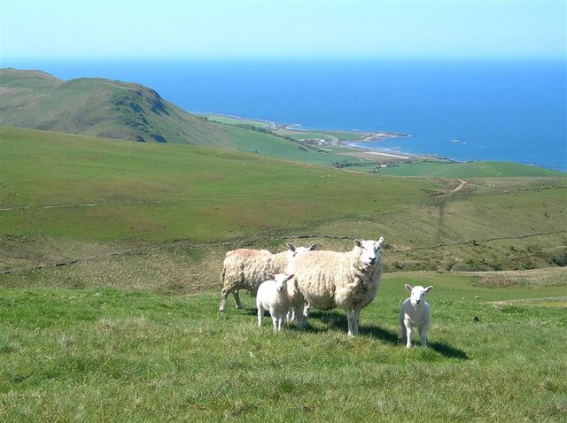
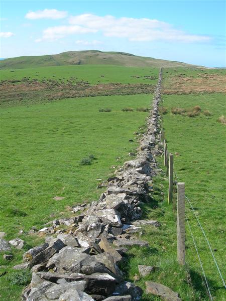
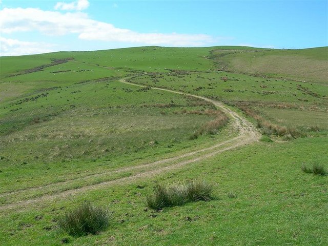
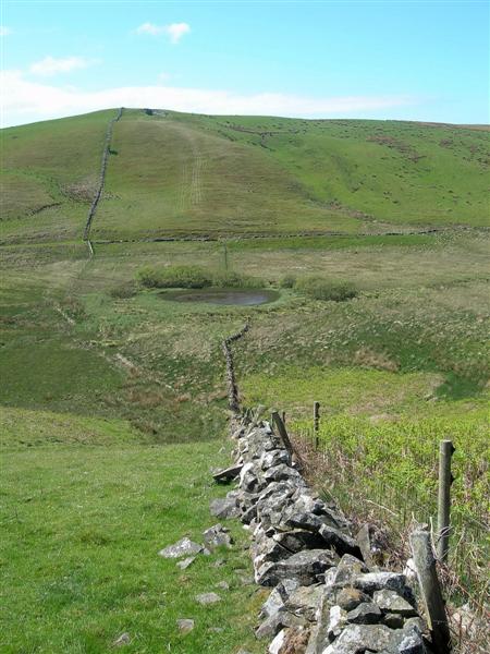
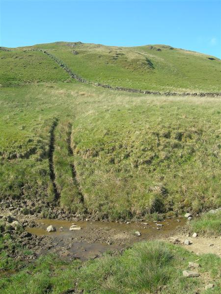
Piedmont Hill, located in Ayrshire, Scotland, is a prominent hill with a distinct conical shape. It is situated in a rural area, surrounded by picturesque countryside and rolling hills. Rising to a height of approximately 300 meters (984 feet), Piedmont Hill offers breathtaking panoramic views of the surrounding landscape.

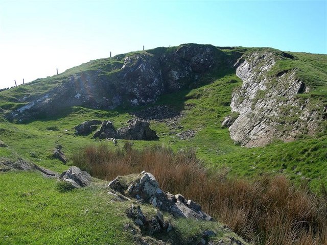
The hill is composed mainly of sedimentary rock, with layers of sandstone and limestone visible in certain areas. Its formation dates back millions of years, as a result of geological processes such as erosion and tectonic activity.

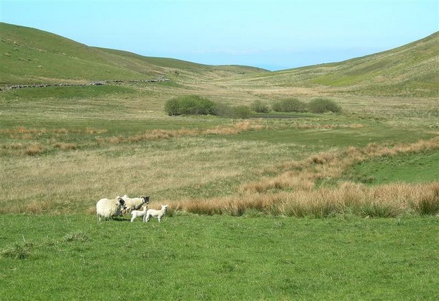
Piedmont Hill is covered in a diverse range of vegetation, including grasses, heather, and scattered patches of woodland. The hillside provides a habitat for various species of birds, mammals, and insects, making it a popular destination for nature enthusiasts and birdwatchers.

Access to Piedmont Hill is facilitated by a network of well-maintained footpaths and trails, allowing visitors to explore its slopes and reach the summit. The hill attracts both local residents and tourists, who come to enjoy the peacefulness and natural beauty it offers.

In addition to its natural attractions, Piedmont Hill is also steeped in history. It is believed that the hill was once a site of human activity, evidenced by the discovery of ancient artifacts and burial mounds in the surrounding area. This historical significance adds an additional layer of interest to the hill, attracting archaeologists and historians who seek to uncover its past.

If you have any feedback on the listing, please let us know in the comments section below.

Piedmont Hill Images

Images are sourced within 2km of 55.218686/-4.8298324 or Grid Reference NX2095. Thanks to Geograph Open Source API. All images are credited.

Laggan Loch Below Troweir Hill, a small circle of clear water in a wetland
Laggan Loch
Below Troweir Hill, a small circle of clear water in a wetland
Saughs Hill from Troweir Hill Saughs Hill and Troweir Hill are identical height summits either end of a moor.
Saughs Hill from Troweir Hill
Saughs Hill and Troweir Hill are identical height summits either end of a moor.
Small Bridge and Fields Looking over fields to Dalfask Hill
Small Bridge and Fields
Looking over fields to Dalfask Hill
Flat Field Dalfask Farm.
Flat Field
Dalfask Farm.
On Laggan Hill Looking south-west on a fine May morning. Knockdolian hill is just visible in the far distance.
On Laggan Hill
Looking south-west on a fine May morning. Knockdolian hill is just visible in the far distance.
A Hill Burn Viewed where the track crosses the burn above Dalfask Farm.
A Hill Burn
Viewed where the track crosses the burn above Dalfask Farm.
Spring Lambs Looking from the shoulder of Troweir Hill on a fine May morning.  This area is good quality hill grazing.  Woodland Bay <a href="https://www.geograph.org.uk/gridref/NX1795">NX1795</a> is in the background.
Spring Lambs
Looking from the shoulder of Troweir Hill on a fine May morning. This area is good quality hill grazing. Woodland Bay NX1795 is in the background.
Old Quarry The Explorer map shows the location of this disused quarry, located on the hill above Laggan Loch.
Old Quarry
The Explorer map shows the location of this disused quarry, located on the hill above Laggan Loch.
Towards Laggan Hill Looking along the field boundary towards Laggan Hill, which is in the next square.
Towards Laggan Hill
Looking along the field boundary towards Laggan Hill, which is in the next square.
Farm Track A series of useful farm tracks assists walkers in this area.  This one lies between Troweir and Laggan Hills.
Farm Track
A series of useful farm tracks assists walkers in this area. This one lies between Troweir and Laggan Hills.
Sheep At Laggan Loch Ewes and lambs on the grazing land near Laggan Loch.  Viewed in mid-May, after a long period of dry weather.
Sheep At Laggan Loch
Ewes and lambs on the grazing land near Laggan Loch. Viewed in mid-May, after a long period of dry weather.
Laggan Loch Looking down towards the small loch and the boggy land around it.
Laggan Loch
Looking down towards the small loch and the boggy land around it.
Towards Laggan Hill Looking up Laggan Hill from the small burn at the foot of its northern slopes.
Towards Laggan Hill
Looking up Laggan Hill from the small burn at the foot of its northern slopes.
On Laggan Hill This area has good quality grass as well as rough grazing land.
On Laggan Hill
This area has good quality grass as well as rough grazing land.
Above Dalfask Farm
Above Dalfask Farm
Towards Dalfask Viewed on a fine May morning with the gorse in full bloom.
Towards Dalfask
Viewed on a fine May morning with the gorse in full bloom.
Dalfask Track
Dalfask Track
Show me another place!

Piedmont Hill is located at Grid Ref: NX2095 (Lat: 55.218686, Lng: -4.8298324)

Unitary Authority: South Ayrshire

Police Authority: Ayrshire

What 3 Words

///hopeless.slams.earpiece. Near Girvan, South Ayrshire

Nearby Locations

Piedmont Hill Laggan Loch

Related Wikis

Ian Henderson (RAF officer)

Captain Ian Henry David Henderson (2 October 1896 – 21 June 1918) was a British World War I flying ace credited with seven aerial victories. == Biography... ==
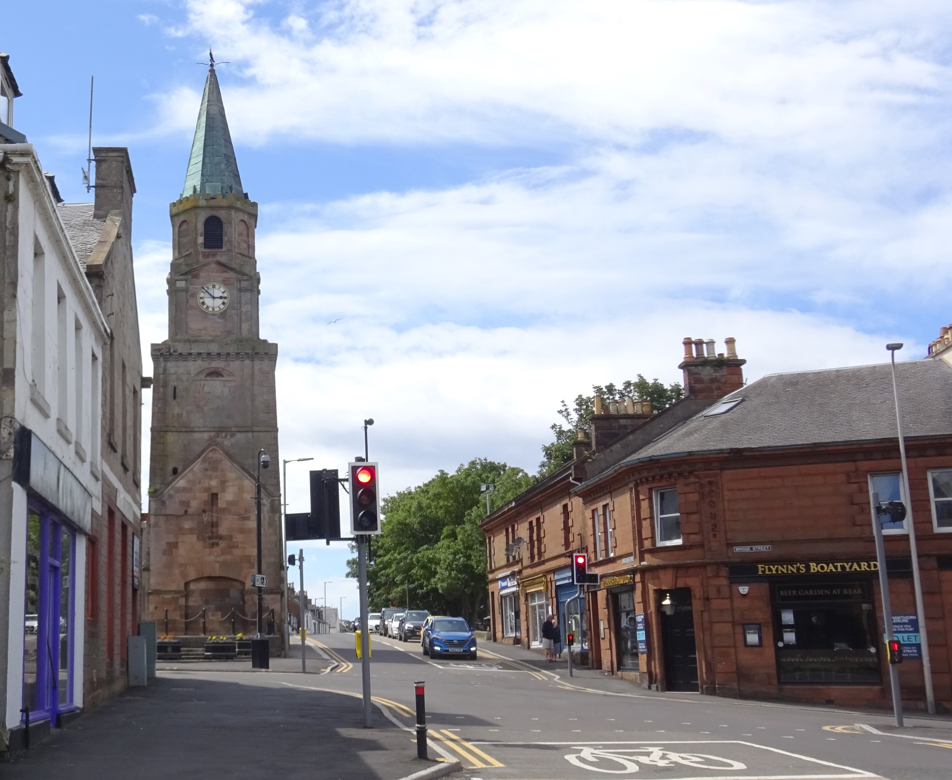
Girvan

Girvan (Scottish Gaelic: Inbhir Gharbhain, "mouth of the River Girvan") is a burgh and harbour town in Carrick, South Ayrshire, Scotland. Girvan is situated...
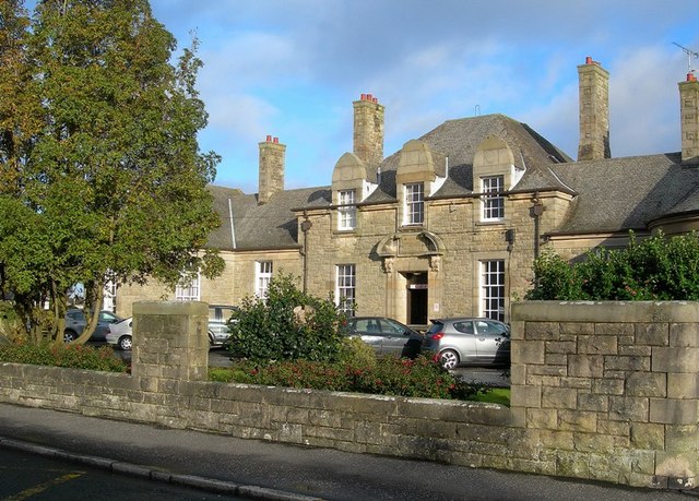
Davidson Hospital

The Davidson Hospital was a health facility in Girvan, South Ayrshire, Scotland. It was managed by NHS Ayrshire and Arran. It remains a Category B listed...

Girvan Steeple

The Girvan Steeple is a steeple and the site of a former townhouse in Girvan, South Ayrshire, Scotland. Its popular name, "Stumpy Tower", "Stumpy Jail...

Nearby Amenities

Located within 500m of 55.218686,-4.8298324
Laggan Hill
Natural: peak
Lat/Long: 55.2144177/-4.8280051
Piedmont Hill
Ele: 243
Natural: peak
Lat/Long: 55.220212/-4.8308545
Generator Method: wind_turbine
Generator Source: wind
Generator Type: horizontal_axis
Power: generator
Lat/Long: 55.2198765/-4.822691
Generator Method: wind_turbine
Generator Source: wind
Generator Type: horizontal_axis
Power: generator
Lat/Long: 55.2172455/-4.8235753
The data included in this document is from www.openstreetmap.org. The data is made available under ODbL.

Have you been to Piedmont Hill?

Leave your review of Piedmont Hill below (or comments, questions and feedback).