Big Craigenlee

Hill, Mountain in Wigtownshire

Scotland

Big Craigenlee
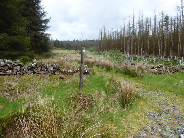
The Southern Upland Way near Laggangarn
The Southern Upland Way near Laggangarn Credit: Dave Kelly

The requested URL returned error: 429 Too Many Requests

If you have any feedback on the listing, please let us know in the comments section below.

Big Craigenlee Images

Images are sourced within 2km of 55.002161/-4.8165442 or Grid Reference NX1971. Thanks to Geograph Open Source API. All images are credited.

The Southern Upland Way near Laggangarn
The Southern Upland Way near Muirglass
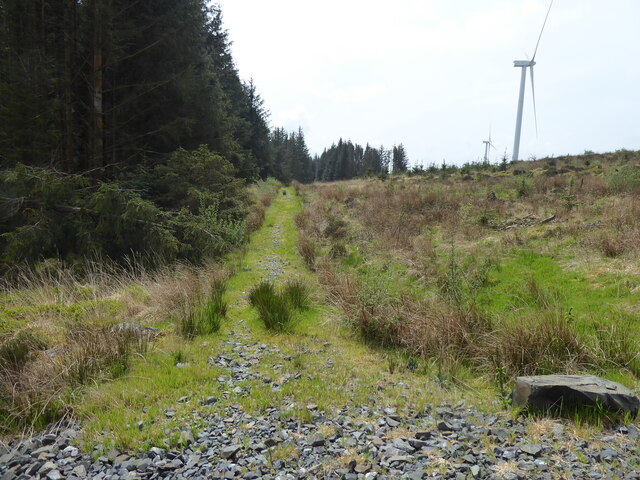
Path heading into the trees near Muirglass The Southern Upland Way diverges from a forestry track and heads into a ride along a stony path.
Path heading into the trees near Muirglass
The Southern Upland Way diverges from a forestry track and heads into a ride along a stony path.
Wind turbines in Kilgallioch Forest Looking across a cleared area of the forest with the tops of three wind turbines peeking over the brow of the sloping ground.
Wind turbines in Kilgallioch Forest
Looking across a cleared area of the forest with the tops of three wind turbines peeking over the brow of the sloping ground.
Forestry road near Milltim Milltim = meall tuaim, hill of the grave.
Forestry road near Milltim
Milltim = meall tuaim, hill of the grave.
Forestry road near Milltim
Moss bank These thick pillows of moss seem to thrive in the wet Galloway forests.
Moss bank
These thick pillows of moss seem to thrive in the wet Galloway forests.
Mosses and lichens Growing on a forestry road.
Mosses and lichens
Growing on a forestry road.
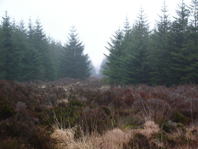
Firebreak, Milltim Milltim = Meall tuaim, the hill of the grave.
Firebreak, Milltim
Milltim = Meall tuaim, the hill of the grave.
Firebreak, Milltim
Firebreak, Milltim
Forest track east of Big Craigenlee
Forest track & sign post The opposite side of the sign reads 'Gled Knowes'. Galloway has a wealth of fascinating names. Printed across this grid square on the 1:25 000 scale map is the name 'Skigniebarrochie'. Unfortunately, the nature of the feature to which this name relates is unclear.
Forest track & sign post
The opposite side of the sign reads 'Gled Knowes'. Galloway has a wealth of fascinating names. Printed across this grid square on the 1:25 000 scale map is the name 'Skigniebarrochie'. Unfortunately, the nature of the feature to which this name relates is unclear.
Southern Upland Way near Muirglass The Southern Upland Way follows the firebreak on the right.
Southern Upland Way near Muirglass
The Southern Upland Way follows the firebreak on the right.
Moorland below Knockniebriar This marshy grass moorland is drained by the Ring Burn. Part of Arecleoch Forest lies beyond. It is just possible to make out two wind turbines on the skyline towards the left.
Moorland below Knockniebriar
This marshy grass moorland is drained by the Ring Burn. Part of Arecleoch Forest lies beyond. It is just possible to make out two wind turbines on the skyline towards the left.
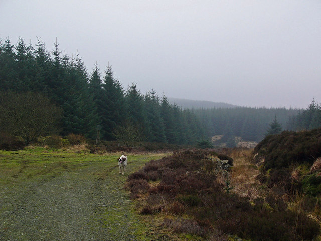
Forestry road over Glenkitten Fell White Fell just visible emerging from the mist in the background.
Forestry road over Glenkitten Fell
White Fell just visible emerging from the mist in the background.
Forestry road, Glenkitten Fell
Forestry road junction near Milltim
Show me another place!

Big Craigenlee is located at Grid Ref: NX1971 (Lat: 55.002161, Lng: -4.8165442)

Unitary Authority: Dumfries and Galloway

Police Authority: Dumfries and Galloway

What 3 Words

///natively.waiters.transmits. Near Cairnryan, Dumfries & Galloway

Nearby Locations

Big Craigenlee

Related Wikis

Glenwhilly railway station

Glenwhilly railway station served the area of Glenwhilly, Dumfries and Galloway, Scotland from 1887 to 1965 on the Girvan and Portpatrick Junction Railway...

Kilgallioch

Kilgallioch Wind Farm is a 96 turbine wind farm in South Ayrshire, Scotland with a total capacity of up to 239 megawatts (MW). Consent granted by the Scottish...

Loups of Dalnigap

Loups of Dalnigap is a waterfall of Scotland. It sits below Dalnigap House, in the South of the Lagafater Estate. == See also == Waterfalls of Scotland...

New Luce

New Luce (Scottish Gaelic: Baile Ùr Ghlinn Lus) is a civil parish in Dumfries and Galloway, south-west Scotland. It lies in the traditional county of Wigtownshire...

Nearby Amenities

Located within 500m of 55.002161,-4.8165442
Big Craigenlee
Ele: 270
Natural: peak
Lat/Long: 55.0011458/-4.8171757
Generator Method: wind_turbine
Generator Source: wind
Generator Type: horizontal_axis
Power: generator
Lat/Long: 55.0051887/-4.8109818
Generator Method: wind_turbine
Generator Source: wind
Generator Type: horizontal_axis
Power: generator
Lat/Long: 55.0057547/-4.8211527
Generator Method: wind_turbine
Generator Source: wind
Generator Type: horizontal_axis
Power: generator
Lat/Long: 55.0017674/-4.81596
Generator Method: wind_turbine
Generator Source: wind
Generator Type: horizontal_axis
Power: generator
Lat/Long: 54.9988382/-4.8216248
The data included in this document is from www.openstreetmap.org. The data is made available under ODbL.

Have you been to Big Craigenlee?

Leave your review of Big Craigenlee below (or comments, questions and feedback).