Am Binnein
Hill, Mountain in Argyllshire
Scotland
Am Binnein

Am Binnein is a prominent hill located in Argyllshire, Scotland. Standing at an impressive height of 1,126 meters (3,694 feet), it is classified as a Munro, which means it is one of the 282 mountains in Scotland that exceed 3,000 feet in elevation. The hill is situated in the southern region of the Argyll Forest Park, within Loch Lomond and The Trossachs National Park.
Am Binnein is renowned for its breathtaking views and challenging hiking trails, attracting outdoor enthusiasts from all over the world. The mountain offers a variety of routes for hikers of different skill levels. The most popular route starts from the eastern side of the hill, near the village of Arrochar, and takes approximately 5-6 hours to complete. This path offers stunning panoramas of Loch Lomond and the surrounding peaks.
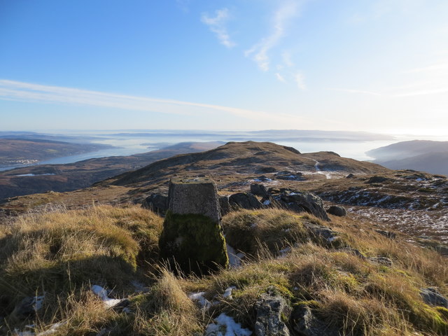
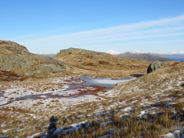
The terrain of Am Binnein is rugged and rocky, with steep slopes and craggy cliffs. It is predominantly composed of granite, which gives it a distinctive appearance and adds to its challenging nature. The summit of the hill offers a rewarding vantage point, allowing visitors to admire the breathtaking vistas of the Scottish Highlands, including nearby Munros such as Beinn Ime and Ben Lomond.
While the weather on Am Binnein can be unpredictable and challenging, with strong winds and low visibility, it adds to the sense of adventure and allure of this mountain. It is advisable for hikers to be well-prepared, with appropriate clothing, navigation equipment, and provisions.
Overall, Am Binnein in Argyllshire offers a thrilling and rewarding mountain experience, combining stunning scenery, challenging trails, and a sense of wilderness that attracts outdoor enthusiasts and nature lovers alike.
If you have any feedback on the listing, please let us know in the comments section below.
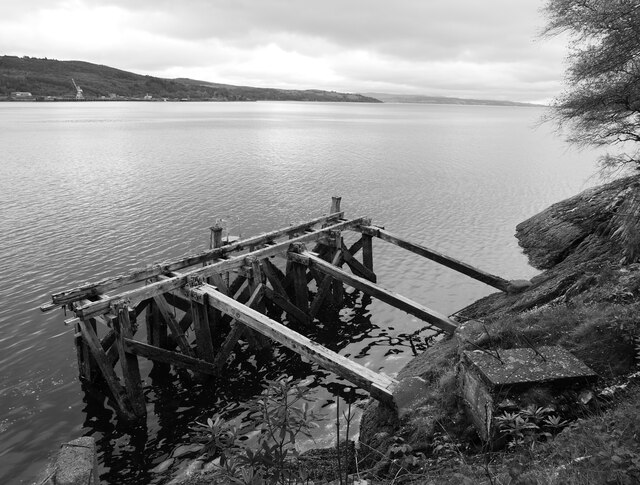
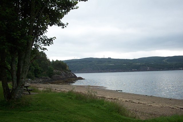
Am Binnein Images
Images are sourced within 2km of 56.071377/-4.9069587 or Grid Reference NS1990. Thanks to Geograph Open Source API. All images are credited.


Am Binnein is located at Grid Ref: NS1990 (Lat: 56.071377, Lng: -4.9069587)
Unitary Authority: Argyll and Bute
Police Authority: Argyll and West Dunbartonshire
What 3 Words
///tidal.remotes.depths. Near Garelochhead, Argyll & Bute
Nearby Locations
Related Wikis

Glen Finart
Glen Finart (Scottish Gaelic: Gleann Fhionnaird) is a glacially formed glen on the Cowal peninsula, Argyll and Bute, Scotland. The glen is within the...
Ardentinny
Ardentinny (Scottish Gaelic: Àird an t-Sionnaich or Àird an Teine) is a small village on the western shore of Loch Long, 14 miles (23 km) north of Dunoon...

RNAD Coulport
Royal Naval Armaments Depot Coulport, shortened to RNAD Coulport, on Loch Long in Argyll, Scotland, is the storage and loading facility for the nuclear...

Coulport (village)
Coulport (Scottish Gaelic: An Cùl Phort - literally the Back Port or Ferry) is a village on the east side of Loch Long, Argyll and Bute, Scotland. It is...
Nearby Amenities
Located within 500m of 56.071377,-4.9069587Have you been to Am Binnein?
Leave your review of Am Binnein below (or comments, questions and feedback).