An Sìthean
Hill, Mountain in Ross-shire
Scotland
An Sìthean

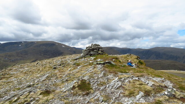
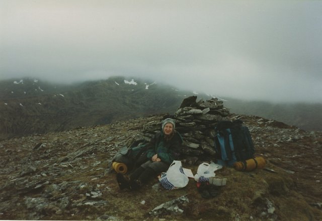
An Sìthean is a prominent hill located in Ross-shire, Scotland. Standing at an elevation of approximately 430 meters (1,410 feet), it offers breathtaking panoramic views of the surrounding landscapes and is a popular destination for hikers and nature enthusiasts.
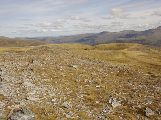
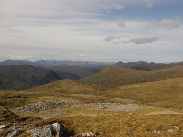
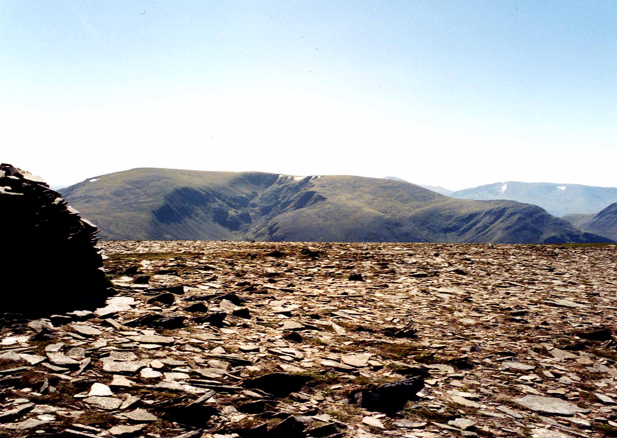
Situated in the Highlands region, An Sìthean is known for its rugged and rocky terrain. The hill is covered with heather and scattered trees, providing a picturesque and serene atmosphere. Its location in a sparsely populated area adds to the sense of tranquility and isolation.
The ascent to the summit of An Sìthean is a moderate hike, suitable for individuals with a reasonable level of fitness. The trail is well-maintained and marked, making it accessible for both experienced hikers and novices. Along the way, visitors can enjoy the diverse flora and fauna, including various species of birds, wildflowers, and small mammals.
Reaching the top of An Sìthean rewards hikers with breathtaking views of the surrounding mountains, lochs, and valleys. On clear days, it is possible to see the distant peaks of the Scottish Highlands, creating a truly unforgettable experience.
As with any outdoor activity, it is important for visitors to come prepared with appropriate clothing, sturdy footwear, and provisions. The weather in the Highlands can be unpredictable, so it is advisable to check the forecast and be prepared for changing conditions.
Overall, An Sìthean offers a beautiful and peaceful escape into the natural beauty of Ross-shire, providing an opportunity to connect with the stunning Scottish landscape.
If you have any feedback on the listing, please let us know in the comments section below.
An Sìthean Images
Images are sourced within 2km of 57.461791/-5.0507846 or Grid Reference NH1745. Thanks to Geograph Open Source API. All images are credited.


An Sìthean is located at Grid Ref: NH1745 (Lat: 57.461791, Lng: -5.0507846)
Unitary Authority: Highland
Police Authority: Highlands and Islands
What 3 Words
///merchant.pounces.ahead. Near Achnasheen, Highland
Nearby Locations
Related Wikis
Maoile Lunndaidh
Maoile Lunndaidh or Maoil Lunndaidh is a Scottish mountain situated 13 km south of Achnasheen in the Ross and Cromarty district of the Highland council...

Northwest Highlands
The Northwest Highlands are located in the northern third of Scotland that is separated from the Grampian Mountains by the Great Glen (Glen More). The...

Highland (council area)
Highland (Scottish Gaelic: Gàidhealtachd, pronounced [ˈkɛːəl̪ˠt̪əxk]; Scots: Hieland) is a council area in the Scottish Highlands and is the largest local...

Loch Monar
Loch Monar is a freshwater loch situated at the head of Glen Strathfarrar, in the West Highlands of Scotland. Since the 1960s, it has been dammed as part...
Nearby Amenities
Located within 500m of 57.461791,-5.0507846Have you been to An Sìthean?
Leave your review of An Sìthean below (or comments, questions and feedback).