Cruach nan Cabrach
Hill, Mountain in Argyllshire
Scotland
Cruach nan Cabrach

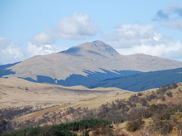
Cruach nan Cabrach is a prominent hill located in Argyllshire, Scotland. Situated in the beautiful landscape of the Scottish Highlands, it is part of the larger Cruachan range. With an elevation of approximately 671 meters (2,201 feet), it is a significant peak in the area.
The hill is characterized by its rugged and rocky terrain, typical of the Scottish Highlands. It offers breathtaking panoramic views of the surrounding countryside, including the nearby Loch Awe, one of Scotland's largest freshwater lakes. On a clear day, visitors can admire the vast expanse of rolling hills, dense forests, and picturesque valleys that stretch for miles.
Cruach nan Cabrach is a popular destination for outdoor enthusiasts, particularly hikers and mountaineers. A variety of walking trails and routes cater to different skill levels, from gentle strolls to more challenging ascents. The hill's distinctive shape and steep slopes provide an exciting and rewarding challenge for those seeking an adrenaline rush.
The hill is also home to a diverse range of flora and fauna, adding to its natural beauty. Visitors may spot various bird species, including golden eagles and peregrine falcons, soaring above the hilltops. The surrounding forests are inhabited by deer, wildcats, and other wildlife, making it a haven for nature lovers.
Overall, Cruach nan Cabrach offers a unique and unforgettable experience for anyone venturing into the Argyllshire region. With its stunning views, challenging trails, and abundant wildlife, it is a must-visit destination for those seeking to immerse themselves in Scotland's natural wonders.
If you have any feedback on the listing, please let us know in the comments section below.
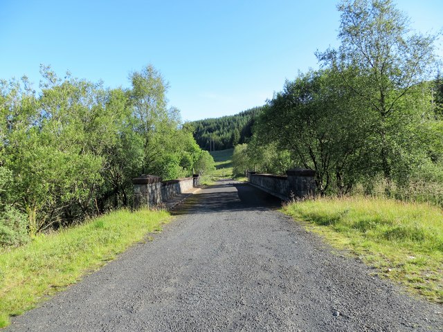
Cruach nan Cabrach Images
Images are sourced within 2km of 56.332064/-4.9651911 or Grid Reference NN1619. Thanks to Geograph Open Source API. All images are credited.


Cruach nan Cabrach is located at Grid Ref: NN1619 (Lat: 56.332064, Lng: -4.9651911)
Unitary Authority: Argyll and Bute
Police Authority: Argyll and West Dunbartonshire
What 3 Words
///loosed.test.doubt. Near Inveraray, Argyll & Bute
Nearby Locations
Related Wikis
Beinn Bhuidhe (Glen Fyne)
Beinn Bhuidhe is a mountain near the head of Loch Fyne in Argyll in the Scottish Highlands. It is a Munro with a height of 948 metres (3,110 ft). ��2...
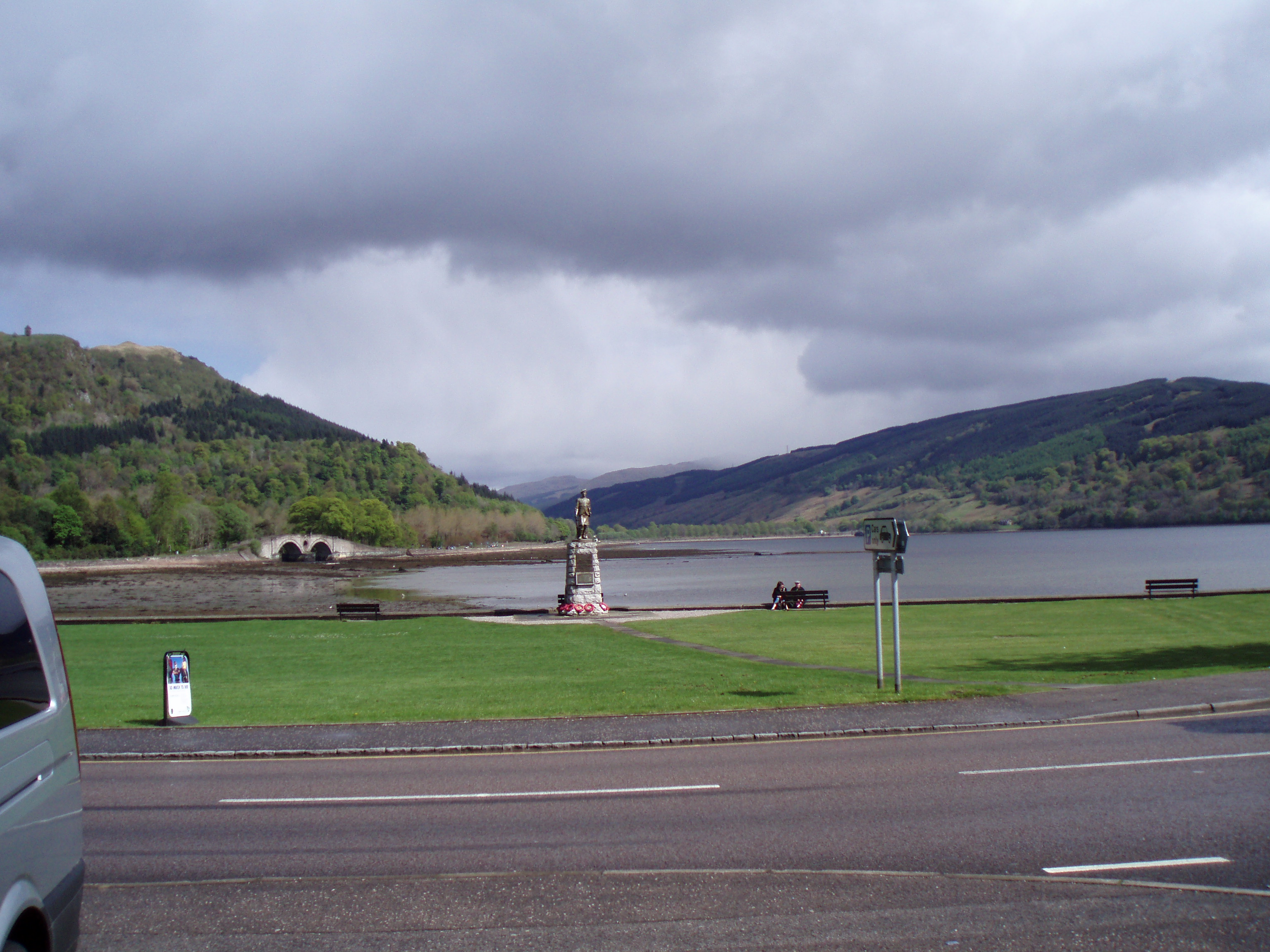
Glen Shira
Glen Shira (Gaelic: Gleann Siara, "Glen of the eternal river") is a glen in Argyll, Scotland at the northern end of Loch Fyne, just to the north of Inveraray...
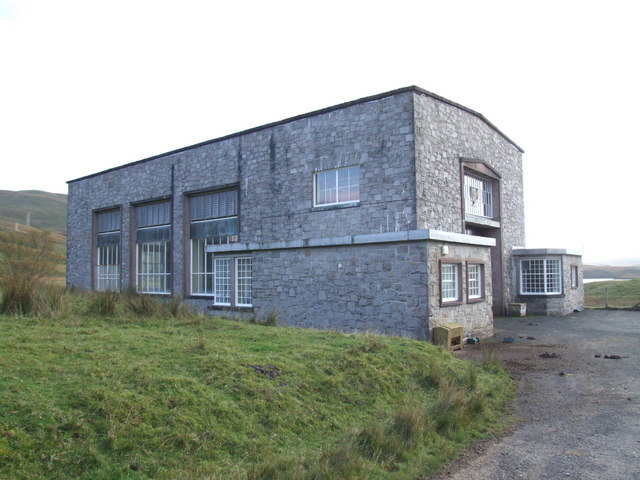
Shira Hydro-Electric Scheme
The Shira Hydro-Electric Scheme is a project initiated by the North of Scotland Hydro-Electric Board to use the waters of the River Shira, the River Fyne...
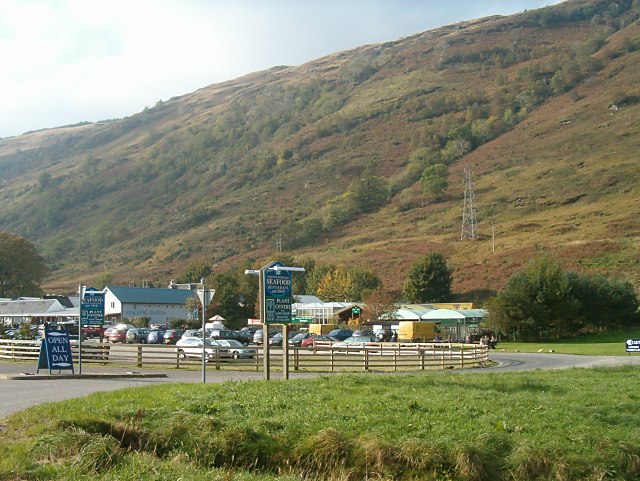
Loch Fyne Oysters
Loch Fyne Oysters is a seafood and meat company that operates on the banks of Loch Fyne, Scotland. The company created the Loch Fyne Restaurants chain...
Nearby Amenities
Located within 500m of 56.332064,-4.9651911Have you been to Cruach nan Cabrach?
Leave your review of Cruach nan Cabrach below (or comments, questions and feedback).