An Elric

Hill, Mountain in Inverness-shire

Scotland

An Elric

Summit Cairn, Carn a' Choire Ghairbh A little frequented Corbett which provides an excellent viewpoint for the upper reaches of Glen Affric.  Mullach Fraoch choire in the background.
Summit Cairn, Carn a' Choire Ghairbh Credit: Chris Eilbeck

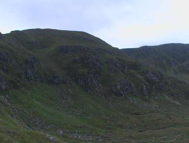
An Elric is a prominent hill located in Inverness-shire, Scotland. Rising to an elevation of approximately 750 meters (2,460 feet), it belongs to the category of mountains in the region. The hill is situated in the northern part of Inverness-shire, near the village of Elrick, which is approximately 10 miles southwest of Inverness.

An Elric offers breathtaking views of the surrounding landscape, including the nearby Munros (mountains over 3,000 feet) such as Carn a'Choire Ghairbh and Sgurr Innse. Its location within the Scottish Highlands makes it a popular destination for hikers and outdoor enthusiasts seeking to explore the region's natural beauty.

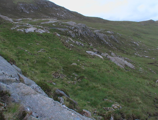
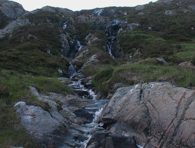
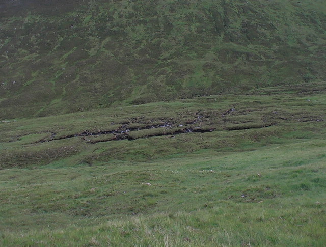
The hill features a variety of terrain, ranging from grassy slopes to rocky outcrops, providing a diverse and challenging hiking experience. Its distinctive shape and prominent position in the landscape make it easily recognizable from a distance.

To reach the summit of An Elric, walkers can follow various established trails that wind their way through the hill's slopes. These trails are well-maintained and generally suitable for hikers of different abilities, although some sections may require a moderate level of fitness and experience.

At the summit, visitors are rewarded with panoramic views of the surrounding countryside, including the vast expanse of Loch Ness to the northeast and the Great Glen to the southwest. On clear days, it is even possible to catch a glimpse of the distant peaks of the Cairngorms National Park.

Overall, An Elric in Inverness-shire offers a memorable hiking experience, combining stunning landscapes, challenging trails, and the opportunity to immerse oneself in the natural beauty of the Scottish Highlands.

If you have any feedback on the listing, please let us know in the comments section below.
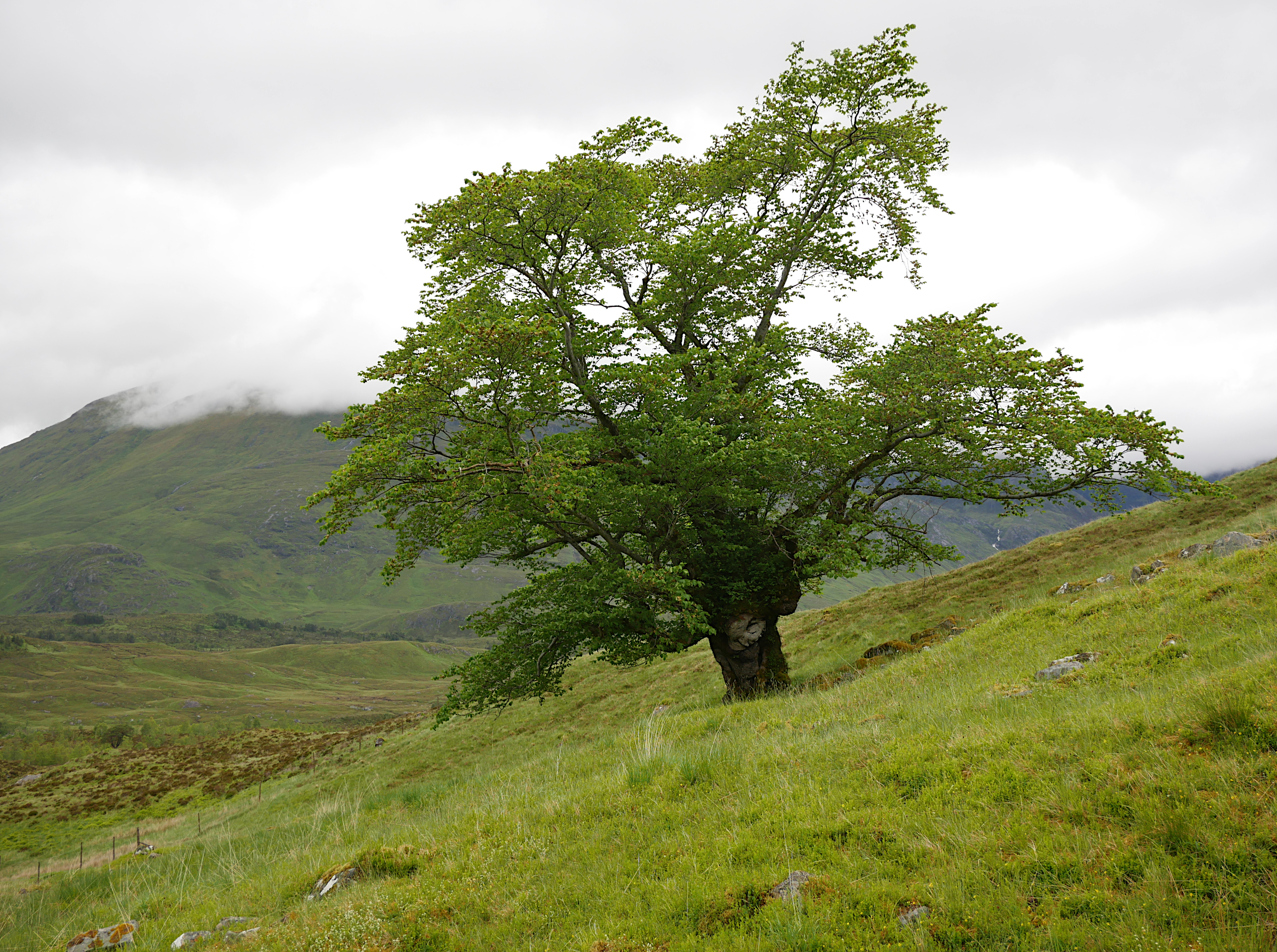
An Elric Images

Images are sourced within 2km of 57.209868/-5.0690765 or Grid Reference NH1417. Thanks to Geograph Open Source API. All images are credited.

Summit Cairn, Carn a' Choire Ghairbh A little frequented Corbett which provides an excellent viewpoint for the upper reaches of Glen Affric.  Mullach Fraoch choire in the background.
Summit Cairn, Carn a' Choire Ghairbh
A little frequented Corbett which provides an excellent viewpoint for the upper reaches of Glen Affric. Mullach Fraoch choire in the background.
Vertical rock strata, Carn a' Choire Ghairbh The vertical strata in this area has weathered to a variety of interesting patterns.
Vertical rock strata, Carn a' Choire Ghairbh
The vertical strata in this area has weathered to a variety of interesting patterns.
Corrie, Carn a' Choire Ghairbh The source of a feeder stream for the Allt Garbh.  Looking towards Aonach Shasuinn.
Corrie, Carn a' Choire Ghairbh
The source of a feeder stream for the Allt Garbh. Looking towards Aonach Shasuinn.
Waterfall on the Allt Garbh The exposed bedrock here shows some unusual folding. The hill in the background is Aonach Shasuinn.
Waterfall on the Allt Garbh
The exposed bedrock here shows some unusual folding. The hill in the background is Aonach Shasuinn.
Bogwood near the Allt Garbh The bog in the bottom of this glen (unnamed on the 1:50000 map), between Aonach Shasuinn and Carn a Choire Gairbh, holds the preserved remains of an ancient forest.
Bogwood near the Allt Garbh
The bog in the bottom of this glen (unnamed on the 1:50000 map), between Aonach Shasuinn and Carn a Choire Gairbh, holds the preserved remains of an ancient forest.
Cliff above Choire. Somewhere in this cliff mass is the cave that harboured the Young Pretender.
Cliff above Choire.
Somewhere in this cliff mass is the cave that harboured the Young Pretender.
Pool of peaty water in peat hags. This makes for good pictures but hard walking!
Pool of peaty water in peat hags.
This makes for good pictures but hard walking!
Mousehole among the peat haggs.
Rock lip at exit from coire south-east of Tigh Mor na Seilge.
Waterfall through coire rock lip
West ridge of Beinn an Iomaire
High cliffs of Tigh Mor na Seilge
Peat hagg The zoom lens packed in otherwise I would have highlighted the tree roots exposed in this hagg. The tree line must have been a lot higher in days gone by.
Peat hagg
The zoom lens packed in otherwise I would have highlighted the tree roots exposed in this hagg. The tree line must have been a lot higher in days gone by.
Steep southern slopes of Beinn  an  Iomaire.
Steep southern slopes of Beinn an Iomaire.
Above the Allt Garbh Looking down the glen of the Allt Garbh from the slopes of Carn a' Choire Ghairbh. Corbett of Aonach Shasuinn on right.
Above the Allt Garbh
Looking down the glen of the Allt Garbh from the slopes of Carn a' Choire Ghairbh. Corbett of Aonach Shasuinn on right.
Nearing Summit You can just about make out a walker nearing the summit of Carn a' Choire Ghairbh looking towards the big Munros of Mullach Fraoch-choire and A' Chralaig.
Nearing Summit
You can just about make out a walker nearing the summit of Carn a' Choire Ghairbh looking towards the big Munros of Mullach Fraoch-choire and A' Chralaig.
An Elric from Bealach an Amais One of the outlying ridges of Sail Chaorainn
An Elric from Bealach an Amais
One of the outlying ridges of Sail Chaorainn
Tigh Mor na Seilge The end of the long ridge passing N through Sgurr nan Conbhairean, Sail Chaorainn, and Carn na Coire Mheadhoin
Tigh Mor na Seilge
The end of the long ridge passing N through Sgurr nan Conbhairean, Sail Chaorainn, and Carn na Coire Mheadhoin
Show me another place!

An Elric is located at Grid Ref: NH1417 (Lat: 57.209868, Lng: -5.0690765)

Unitary Authority: Highland

Police Authority: Highlands and Islands

What 3 Words

///period.flattered.fashion. Near Cannich, Highland

Nearby Locations

An Elric

Related Wikis

Last Ent of Affric

The Last Ent of Affric is an ancient elm in the Scottish Highlands, designated a Tree of National Special Interest (TNSI) by the Woodland Trust and named...

Aonach Shasuinn

Aonach Shasuinn (888 m) is a mountain in the Northwest Highlands of Scotland. It lies in Inverness-shire, on the southern side of Glen Affric. Taking the...

Sgùrr nan Conbhairean

Sgùrr nan Conbhairean (Scottish Gaelic for 'peak of the dog-men') is a mountain in the Northwest Highlands of Scotland, lying north of Loch Cluanie and...

Mullach Fraoch-choire

Mullach Fraoch-choire is a 1,102-metre (3,615 ft) mountain – a Munro – in the Northwest Highlands of Scotland on a ridge extending north for 8 kilometres...

Nearby Amenities

Located within 500m of 57.209868,-5.0690765
An Elric
Place: locality
Lat/Long: 57.2129626/-5.0649548
The data included in this document is from www.openstreetmap.org. The data is made available under ODbL.

Have you been to An Elric?

Leave your review of An Elric below (or comments, questions and feedback).