Hangman's Hill
Hill, Mountain in Devon Torridge
England
Hangman's Hill

Hangman's Hill, located in Devon, England, is a renowned hill known for its mysterious and intriguing phenomenon. Situated near the small village of Sidbury, this hill has gained popularity due to a fascinating optical illusion that occurs when vehicles are parked on its slope.
The optical illusion, commonly referred to as the "gravity hill" effect, gives the impression that vehicles parked on the hill appear to roll uphill instead of downhill, defying the laws of gravity. This bizarre phenomenon has attracted locals and tourists alike, who flock to Hangman's Hill to witness this peculiar occurrence firsthand.
The hill itself is not particularly steep, measuring only a slight incline, which makes the illusion even more perplexing. Many theories have been proposed to explain this phenomenon, ranging from magnetic fields to supernatural forces, but none have been proven conclusively.
Despite its eerie reputation, Hangman's Hill is a picturesque location surrounded by the natural beauty of the Devon countryside. Visitors can enjoy stunning views of the surrounding landscape, with rolling hills and lush greenery.
While the mystery of Hangman's Hill may remain unsolved, its allure continues to captivate those who visit. Whether it's the unexplained phenomenon or the scenic surroundings, Hangman's Hill offers a unique experience that leaves visitors both intrigued and puzzled.
If you have any feedback on the listing, please let us know in the comments section below.
Hangman's Hill Images
Images are sourced within 2km of 51.166014/-4.6621316 or Grid Reference SS1344. Thanks to Geograph Open Source API. All images are credited.


Hangman's Hill is located at Grid Ref: SS1344 (Lat: 51.166014, Lng: -4.6621316)
Administrative County: Devon
District: Torridge
Police Authority: Devon and Cornwall
What 3 Words
///argue.advantage.rabble. Near Northam, Devon
Nearby Locations
Related Wikis
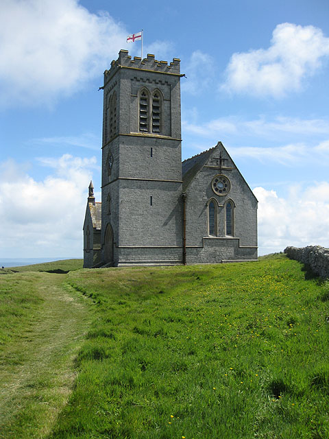
St Helen's Church, Lundy
Saint Helen's Church, also often incorrectly known as Saint Helena's Church, is an Anglican church on the 445 ha (1,100 acres) island of Lundy, lying at...
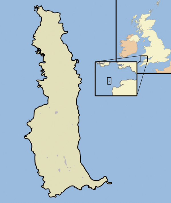
Lundy
Lundy is an English island in the Bristol Channel. It forms part of the district of Torridge in the county of Devon. About 3 miles (5 kilometres) long...

Jenny (1783 ship)
Jenny was built at Newfoundland in 1783. She sailed to Britain and traded between Britain and Newfoundland and then between Bristol and Africa until 1790...
Related Videos

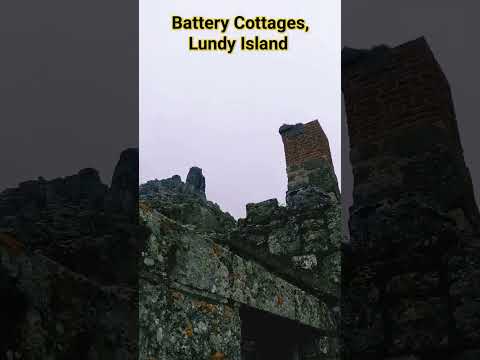
Lundy Island, UK | Guide & Full Island Tour
In this video I make a rain and wind-swept visit to the costal Island of Lundy, United Kingdom. One of the UK's declared greatest ...

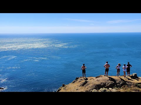
lundy Island hiking and swimming with seals
catching a sea safari Lundy shuttle and spending the day on Lundy Island in North Devon hiking and swimming with seals.
Lundy Island 2022
Subscribe ▻ https://goo.gl/vx3Xqz Twitch ▻ twitch.tv/yakyyeomans Much appreciated if you hit like and subscribe! Sit back relax ...
Nearby Amenities
Located within 500m of 51.166014,-4.6621316Have you been to Hangman's Hill?
Leave your review of Hangman's Hill below (or comments, questions and feedback).