Chlenry Hill
Hill, Mountain in Wigtownshire
Scotland
Chlenry Hill
Chlenry Hill is a prominent geological formation located in Wigtownshire, a picturesque region in Southwest Scotland. Rising 266 meters above sea level, it is classified as a hill rather than a mountain due to its height. Chlenry Hill is situated approximately 4 kilometers northeast of the charming village of Glenluce.
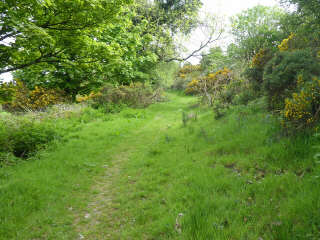
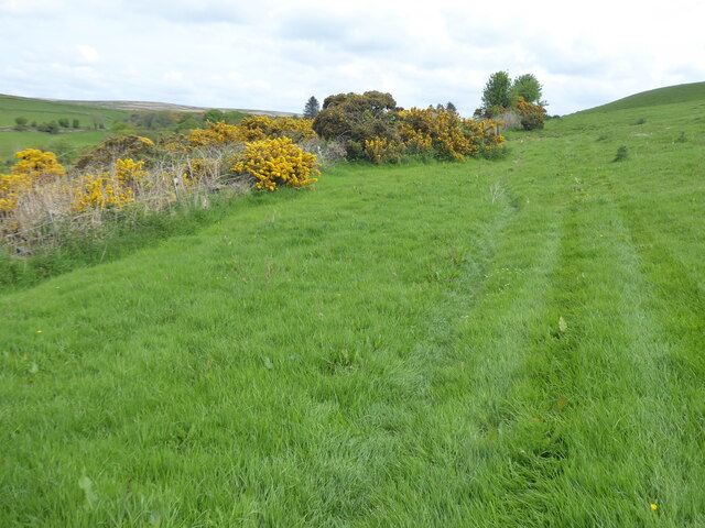
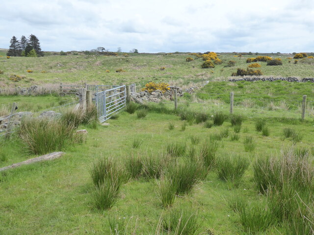
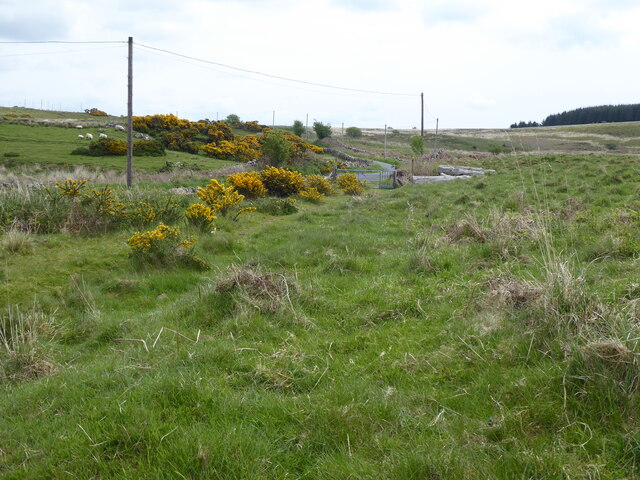
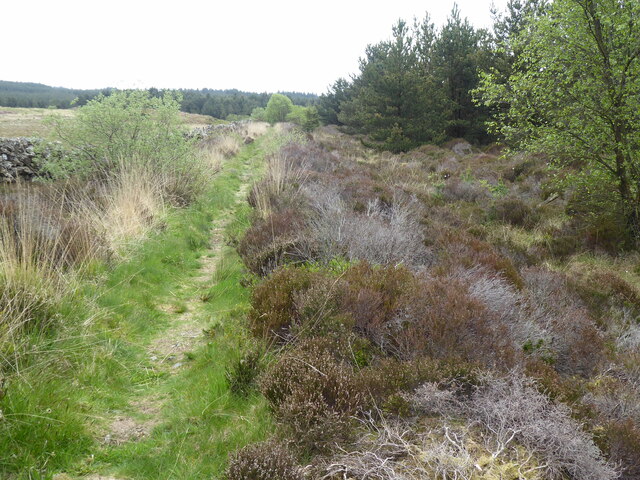
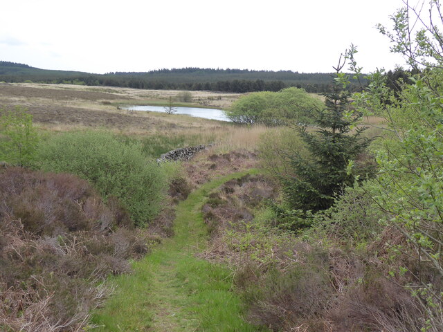
The hill is characterized by its gently sloping sides and rounded summit, offering panoramic views of the surrounding countryside. Its distinct shape and prominent position make it a notable feature of the local landscape. Covered in lush green vegetation, Chlenry Hill is home to a variety of plant and animal species, adding to its natural beauty.
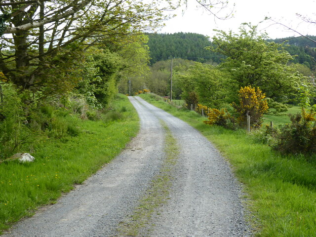
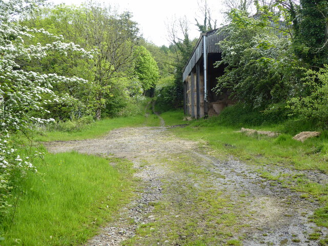
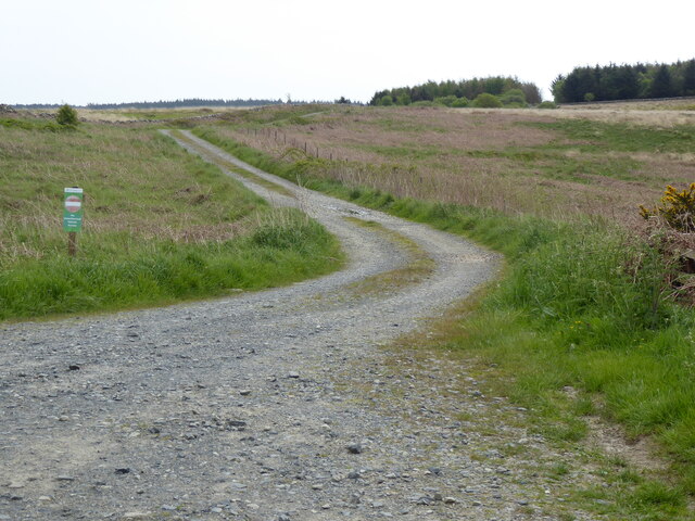
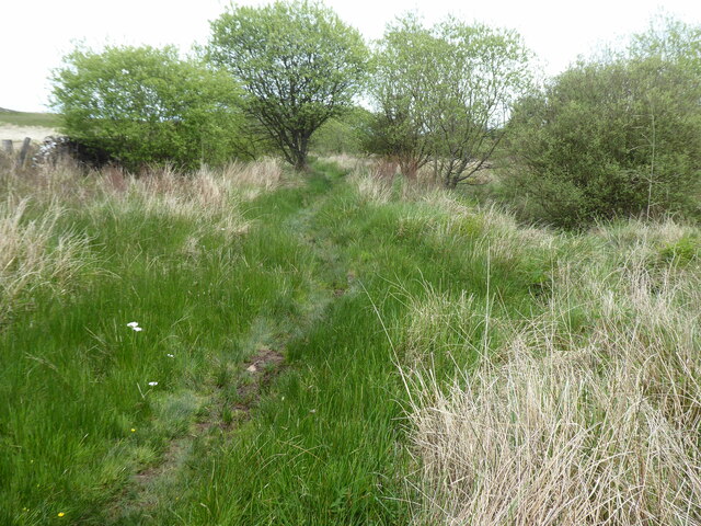
A popular destination for nature enthusiasts and hikers, Chlenry Hill offers a network of well-maintained trails, making it accessible to visitors of all ages and abilities. The trails wind through heather-covered moorland, providing opportunities to spot wildlife such as deer, rabbits, and various bird species.
Apart from its natural beauty, Chlenry Hill also holds historical significance. The remains of an Iron Age hillfort can be found on its slopes, serving as a reminder of the area's ancient past. The hillfort is believed to have been a defensive structure dating back thousands of years.
Chlenry Hill attracts both locals and tourists alike, who appreciate its tranquil atmosphere, breathtaking views, and the chance to connect with nature. Whether it's a leisurely stroll or a more challenging hike, this natural landmark offers a rewarding experience for those who venture to its summit.
If you have any feedback on the listing, please let us know in the comments section below.
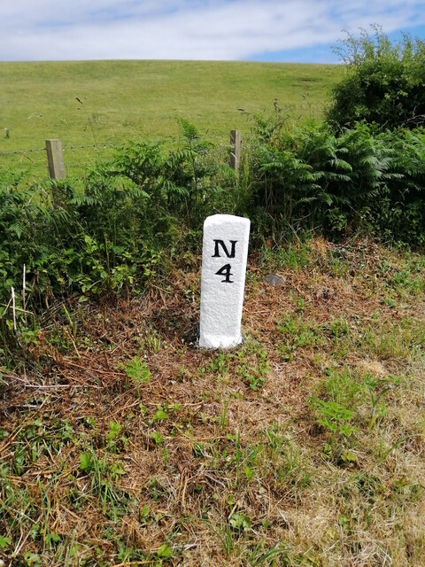
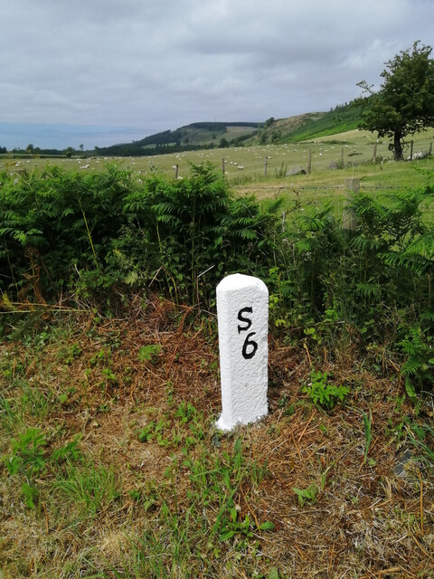
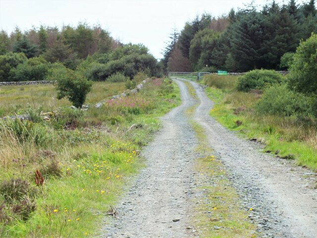
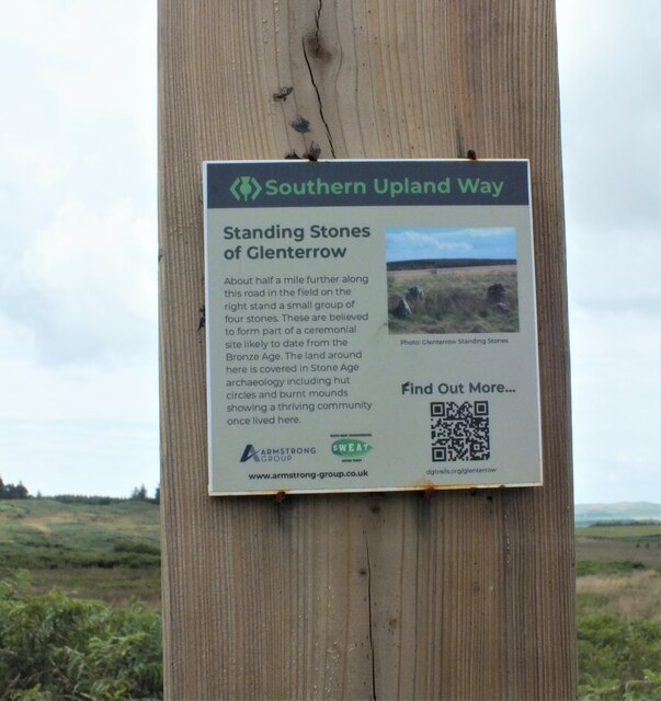
Chlenry Hill Images
Images are sourced within 2km of 54.908597/-4.9079762 or Grid Reference NX1360. Thanks to Geograph Open Source API. All images are credited.

Chlenry Hill is located at Grid Ref: NX1360 (Lat: 54.908597, Lng: -4.9079762)
Unitary Authority: Dumfries and Galloway
Police Authority: Dumfries and Galloway
What 3 Words
///worldwide.cliff.tides. Near Stranraer, Dumfries & Galloway
Nearby Locations
Related Wikis

RAF Castle Kennedy
Royal Air Force Castle Kennedy, or more simply RAF Castle Kennedy, is a former Royal Air Force satellite station located in Castle Kennedy, Dumfries and...

Castle Kennedy (castle)
Castle Kennedy is a ruined 17th-century tower house, about 3 miles (4.8 km) east of Stranraer, Dumfries and Galloway, Scotland, around 0.5 miles (0.80...
Castle Kennedy
Castle Kennedy is a small village 3 miles (4.8 km) east of Stranraer in Dumfries and Galloway, south-west Scotland. It is on the A75 road, and is within...

Castle Kennedy railway station
Castle Kennedy railway station served the village of Castle Kennedy, Dumfries and Galloway, Scotland from 1861 to 1965 on the Portpatrick and Wigtownshire...
Dunragit
Dunragit (Scottish Gaelic: Dùn Reicheit) is a village on the A75, between Stranraer and Glenluce in Dumfries and Galloway, south-west Scotland. Dunragit...

Dunragit railway station
Dunragit railway station served the village of Dunragit, Dumfries and Galloway, Scotland from 1861 to 1965 on the Portpatrick and Wigtownshire Joint Railway...

Soulseat Abbey
Saulseat or Soulseat Abbey was a Premonstratensian monastic community located in Wigtownshire, Galloway, in the Gaelic-speaking south-west of Scotland...
Aird, Dumfries and Galloway
Aird (Gaelic:An Àird) is a village in Dumfries and Galloway, in the southwest of Scotland. It is 2.5 miles (4.0 km) east of Stranraer and 1 mile (1.6 km...
Have you been to Chlenry Hill?
Leave your review of Chlenry Hill below (or comments, questions and feedback).