Cairnerzean Fell
Hill, Mountain in Wigtownshire
Scotland
Cairnerzean Fell

Cairnerzean Fell is an impressive hill located in Wigtownshire, Scotland. Rising to an elevation of approximately 380 meters (1,247 feet), it dominates the surrounding landscape with its prominent presence. Located in the southern region of Scotland, this hill offers breathtaking views of the surrounding countryside, making it a popular destination for outdoor enthusiasts.
The terrain of Cairnerzean Fell is characterized by rugged slopes and rocky outcrops, which add to its scenic appeal. The hill is covered in heather and grass, creating a picturesque setting that changes in color throughout the seasons. Hikers and climbers are drawn to this natural beauty, as it provides an exhilarating and challenging experience.
The summit of Cairnerzean Fell rewards adventurers with panoramic views of the surrounding area, including nearby lochs, forests, and rolling hills. On a clear day, the Irish Sea can even be spotted in the distance. The hill is also home to a variety of wildlife, including red deer, buzzards, and mountain hares, adding to its natural allure.
Accessing Cairnerzean Fell is relatively straightforward, with a network of footpaths and trails leading to the summit. The hill is a popular destination for both experienced hikers and those seeking a more leisurely walk. However, it is important for visitors to come prepared with appropriate gear and follow safety guidelines, as the weather conditions can change quickly.
Overall, Cairnerzean Fell is a captivating natural landmark within Wigtownshire, offering visitors a chance to immerse themselves in the beauty of Scotland's countryside while enjoying a rewarding outdoor adventure.
If you have any feedback on the listing, please let us know in the comments section below.
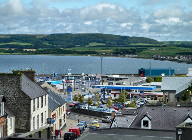
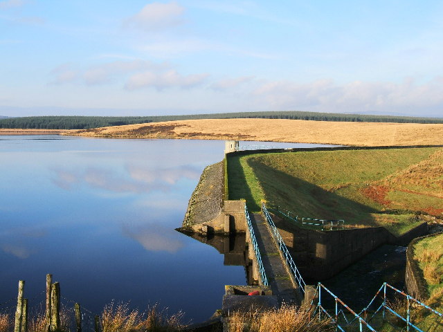
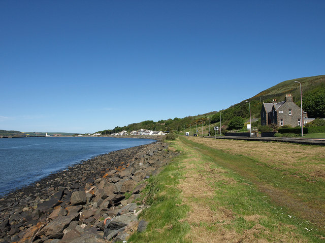
Cairnerzean Fell Images
Images are sourced within 2km of 54.959885/-4.9128854 or Grid Reference NX1366. Thanks to Geograph Open Source API. All images are credited.

Cairnerzean Fell is located at Grid Ref: NX1366 (Lat: 54.959885, Lng: -4.9128854)
Unitary Authority: Dumfries and Galloway
Police Authority: Dumfries and Galloway
What 3 Words
///afterglow.purchaser.coil. Near Cairnryan, Dumfries & Galloway
Nearby Locations
Related Wikis
Inch, Dumfries and Galloway
Inch is a civil parish in Dumfries and Galloway, southwest Scotland. It lies on the shore of Loch Ryan, in the traditional county of Wigtownshire.The...
Penwhirn Reservoir
Penwhirn Reservoir, is a reservoir in Dumfries and Galloway, Scotland, approximately 3.5 miles (6 km) east of Cairnryan. The reservoir was built in the...
New Luce railway station
New Luce railway station served the village of New Luce, Dumfries and Galloway, Scotland from 1887 to 1965 on the Girvan and Portpatrick Junction Railway...
Loups of Dalnigap
Loups of Dalnigap is a waterfall of Scotland. It sits below Dalnigap House, in the South of the Lagafater Estate. == See also == Waterfalls of Scotland...
New Luce
New Luce (Scottish Gaelic: Baile Ùr Ghlinn Lus) is a civil parish in Dumfries and Galloway, south-west Scotland. It lies in the traditional county of Wigtownshire...
Glenwhilly railway station
Glenwhilly railway station served the area of Glenwhilly, Dumfries and Galloway, Scotland from 1887 to 1965 on the Girvan and Portpatrick Junction Railway...
Castle Kennedy (castle)
Castle Kennedy is a ruined 17th-century tower house, about 3 miles (4.8 km) east of Stranraer, Dumfries and Galloway, Scotland, around 0.5 miles (0.80...
Cairnryan
Cairnryan (Scots: The Cairn; Scottish Gaelic: Càrn Rìoghain or Machair an Sgithich) is a village in the historical county of Wigtownshire, Dumfries and...
Nearby Amenities
Located within 500m of 54.959885,-4.9128854Have you been to Cairnerzean Fell?
Leave your review of Cairnerzean Fell below (or comments, questions and feedback).


