Big Fell
Hill, Mountain in Ayrshire
Scotland
Big Fell
Big Fell is a prominent hill located in Ayrshire, Scotland. Standing at an elevation of 522 meters (1,713 feet), it is considered one of the highest points in the region. Situated within the Lowther Hills range, Big Fell offers stunning panoramic views of the surrounding countryside and beyond, making it a popular destination for hikers and nature enthusiasts.
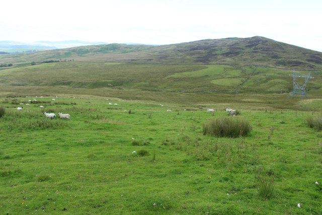
The hill is characterized by its gentle slopes and grassy terrain, providing relatively easy access for walkers of varying abilities. The summit of Big Fell is marked by a cairn, serving as a navigational point for those exploring the area. On a clear day, the hilltop offers breathtaking vistas of the rolling Scottish countryside, with the peaks of the Southern Uplands visible in the distance.
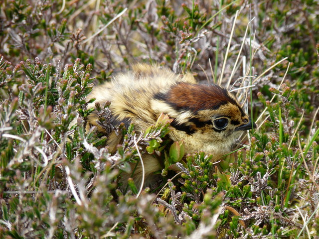
Big Fell boasts a diverse range of flora and fauna, with heather, grasses, and wildflowers carpeting its slopes. The hill is also home to a variety of bird species, including red grouse, skylarks, and meadow pipits. The surrounding area is rich in history, with remnants of ancient settlements and archaeological sites scattered throughout the landscape.
Access to Big Fell is typically gained from the nearby village of Wanlockhead, where parking facilities and well-marked trails are available. The hill is a popular destination for both locals and tourists, offering a tranquil escape into nature and the opportunity to explore the beauty of Ayrshire's countryside.
If you have any feedback on the listing, please let us know in the comments section below.
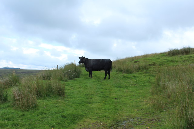
Big Fell Images
Images are sourced within 2km of 55.082545/-4.9260476 or Grid Reference NX1380. Thanks to Geograph Open Source API. All images are credited.


Big Fell is located at Grid Ref: NX1380 (Lat: 55.082545, Lng: -4.9260476)
Unitary Authority: South Ayrshire
Police Authority: Ayrshire
What 3 Words
///juggles.toddler.thundered. Near Cairnryan, Dumfries & Galloway
Nearby Locations
Related Wikis

Heronsford
Heronsford is a village located in South Ayrshire, South-West Scotland. == About == Heronsford is a hamlet located near Ballantrae that sits along the...

Glenapp Castle
Glenapp Castle, formerly the family seat of the Earl of Inchcape, is now a luxury hotel and restaurant located about 1+1⁄2 miles (2.5 kilometres) southeast...

Arecleoch Wind Farm
Arecleoch Wind Farm is a 60 turbine wind farm in South Ayrshire, Scotland with a total capacity of 120 megawatts (MW), enough to power over 67,000 homes...
The Lagafater Estate
Lagafater is a 7000-acre (2832.8 ha) former sporting estate near New Luce in Dumfries and Galloway, Scotland. Since 1910 it has been in the family of its...

River Stinchar
The River Stinchar ( STIN-shər) is a river in South Ayrshire, Scotland. It flows south west from the Galloway Forest Park to enter the Firth of Clyde at...

Ballantrae Windmill
The Ballantrae Windmill, on Mill Hill was a late 17th or early 18th century vaulted tower windmill, the ruins of which are located above the old raised...

Ballantrae
Ballantrae is a community in Carrick, South Ayrshire, Scotland. The name probably comes from the Scottish Gaelic Baile na Tràgha, meaning the "town by...

Colmonell
Colmonell (Scottish Gaelic: Cill Cholmain Eala) (meaning the church of St. Colman of Lainn Eala - in Lynally, County Offaly, Ireland) is a small village...
Nearby Amenities
Located within 500m of 55.082545,-4.9260476Have you been to Big Fell?
Leave your review of Big Fell below (or comments, questions and feedback).