Ballochyle Hill
Hill, Mountain in Argyllshire
Scotland
Ballochyle Hill
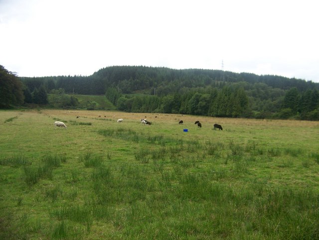
Ballochyle Hill is a prominent hill located in Argyllshire, Scotland. It is part of the stunning landscape of the Scottish Highlands and offers breathtaking views of the surrounding area. Standing at an elevation of approximately 459 meters (1,506 feet), Ballochyle Hill is classified as a hill rather than a mountain. However, its commanding presence and rugged terrain make it an attractive destination for hikers, nature enthusiasts, and those seeking outdoor adventures.
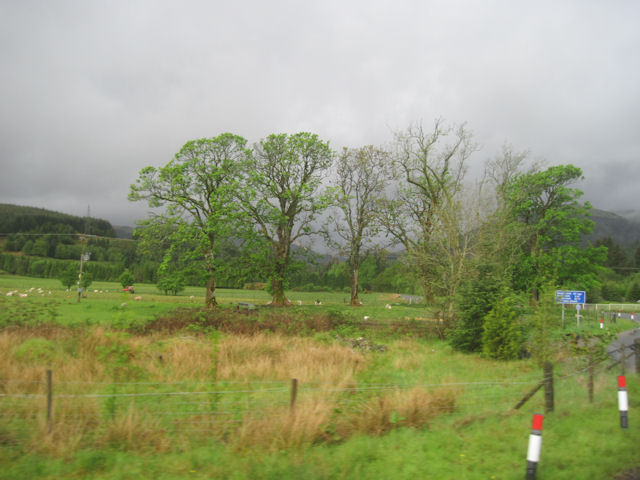
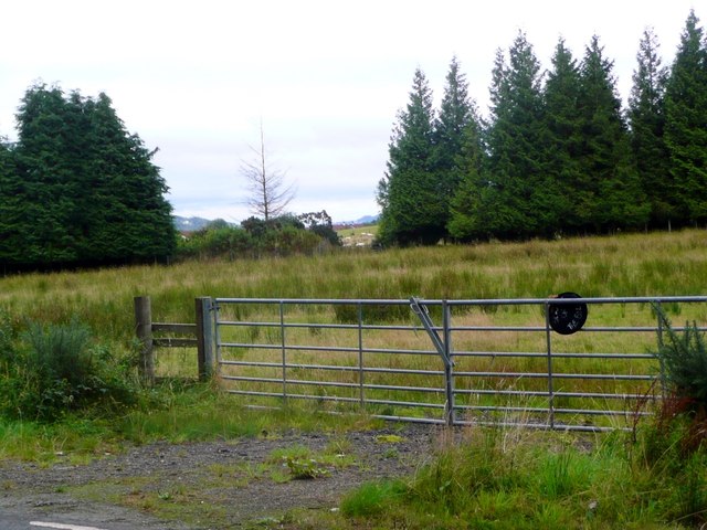
The hill is situated near Loch Awe, which is one of Scotland's largest freshwater lochs. Its proximity to the loch adds to its charm and allure. The area is known for its picturesque beauty, with lush greenery, rocky outcrops, and cascading waterfalls that are often seen along the hiking trails.
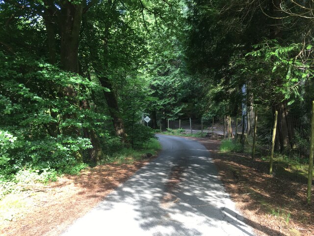
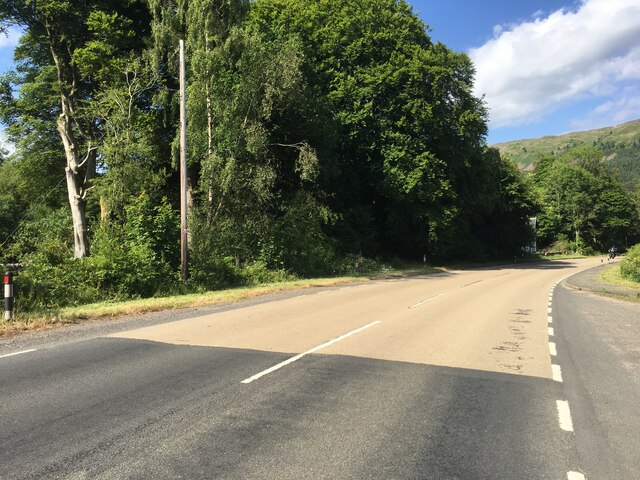
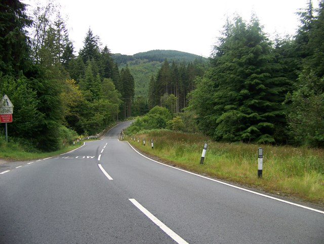
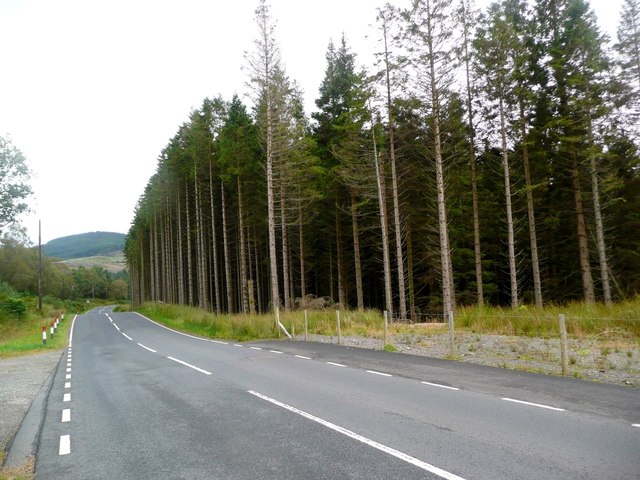
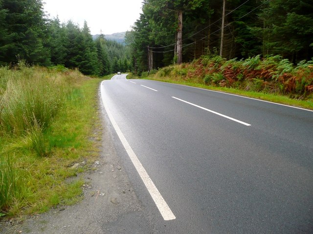
Ballochyle Hill is accessible via several walking routes, with various levels of difficulty to accommodate different skill levels. The most popular route starts near the village of Dalavich and follows a well-marked path through the forest, gradually ascending towards the summit. The ascent can be challenging at times, but the rewards are well worth the effort.
Once at the top, visitors are treated to breathtaking panoramic views of the surrounding Argyllshire countryside. On a clear day, it is possible to see the distant peaks of other mountains, such as Ben Cruachan and Ben Lui. The hill also offers an opportunity to spot local wildlife, including deer, birds of prey, and even rare species such as the Scottish wildcat.
Overall, Ballochyle Hill is a must-visit destination for nature lovers and outdoor enthusiasts. Its stunning views, challenging trails, and proximity to Loch Awe make it an ideal location for a memorable Scottish Highland adventure.
If you have any feedback on the listing, please let us know in the comments section below.
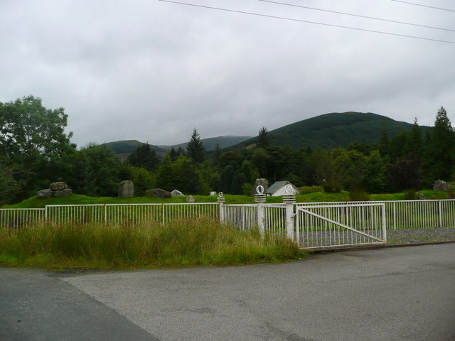
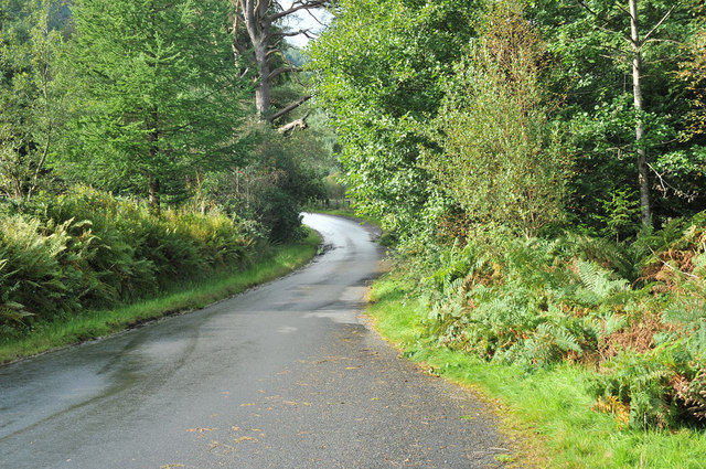
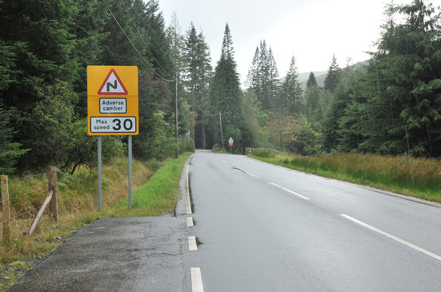
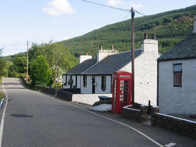
Ballochyle Hill Images
Images are sourced within 2km of 56.005915/-4.9986696 or Grid Reference NS1383. Thanks to Geograph Open Source API. All images are credited.


Ballochyle Hill is located at Grid Ref: NS1383 (Lat: 56.005915, Lng: -4.9986696)
Unitary Authority: Argyll and Bute
Police Authority: Argyll and West Dunbartonshire
What 3 Words
///prawn.potions.recitals. Near Sandbank, Argyll & Bute
Nearby Locations
Related Wikis

Invereck
Invereck is a Category B listed building in Sandbank, near Dunoon, Argyll and Bute, Scotland. Dating to around 1886, it is located near the head of the...
Rashfield
Rashfield; is a hamlet on the Cowal peninsula, situated between Loch Eck and the head of Holy Loch, in Argyll and Bute, West of Scotland. The hamlet is...
Clachaig
Clachaig; (Scottish Gaelic: Clachaig) is a small settlement, on the Cowal peninsula in Argyll and Bute, Scotland. It is located on the B836 road between...

Puck's Glen
Puck's Glen is a river-formed ravine on the Cowal peninsula in Argyll and Bute, Scotland, with a popular scenic walking trail beside the Eas Mòr stream...
Nearby Amenities
Located within 500m of 56.005915,-4.9986696Have you been to Ballochyle Hill?
Leave your review of Ballochyle Hill below (or comments, questions and feedback).