Cairney Hill

Hill, Mountain in Wigtownshire

Scotland

Cairney Hill

Kilstay Bay Viewed from the A716 Drummore Road.
Kilstay Bay Credit: Billy McCrorie

Cairney Hill is a prominent hill located in the region of Wigtownshire, which is situated in the southwestern part of Scotland. With an elevation of approximately 237 meters (778 feet), it is considered one of the notable hills in the area. Cairney Hill is located near the small village of Kirkinner, which is about 7 kilometers (4.3 miles) southeast of Wigtown, the county town of Wigtownshire.

The hill is characterized by its gently sloping sides, covered in lush green vegetation, and offers panoramic views of the surrounding countryside. It is a popular spot for outdoor enthusiasts, hikers, and nature lovers who enjoy exploring the scenic beauty of the Scottish countryside. The summit of Cairney Hill provides stunning vistas of the Solway Firth and the rolling hills of Galloway, offering a picturesque backdrop for visitors.

Cairney Hill also holds historical significance, as there are remnants of ancient settlements and burial mounds in the vicinity, dating back to prehistoric times. The hill is believed to have been an important landmark for early inhabitants, serving as a vantage point for observing the surrounding landscape and potential threats.

Access to Cairney Hill is relatively easy, with various footpaths and trails leading to the summit. The hill attracts both locals and tourists alike, who come to appreciate the natural beauty and tranquility it offers. Whether one seeks a peaceful walk, a challenging hike, or an opportunity to immerse oneself in the rich history of the area, Cairney Hill provides an enriching experience for all who visit.

If you have any feedback on the listing, please let us know in the comments section below.
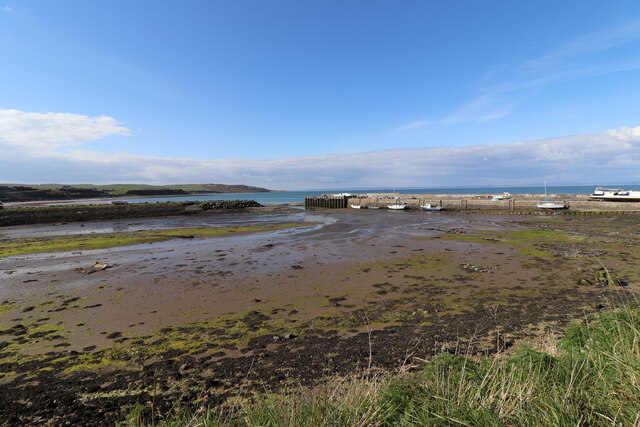
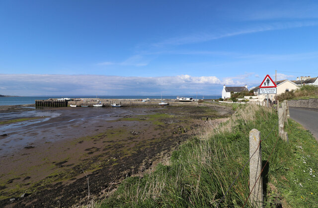
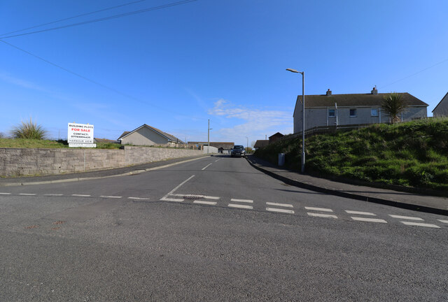
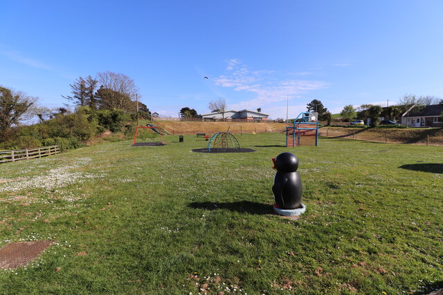
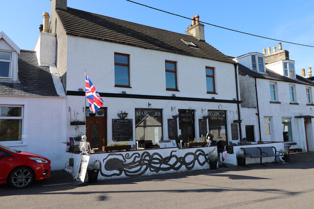
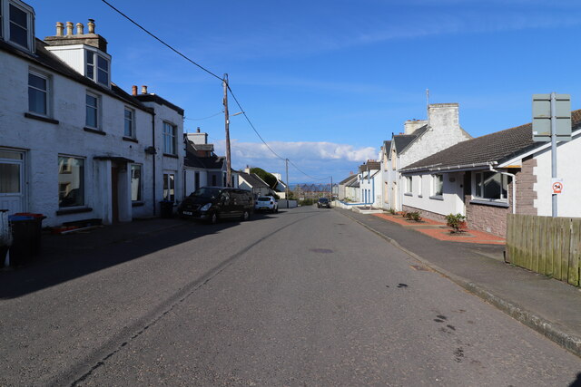
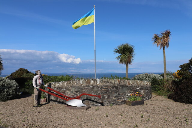
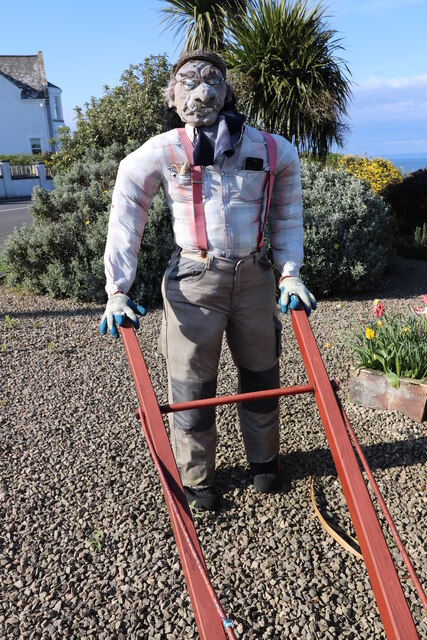
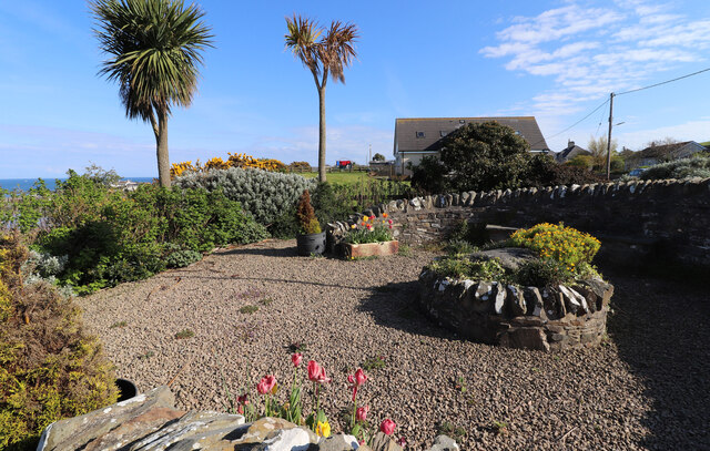
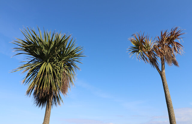
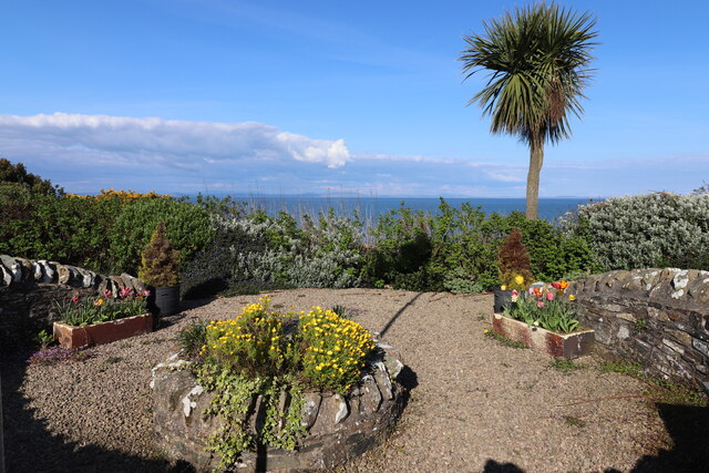
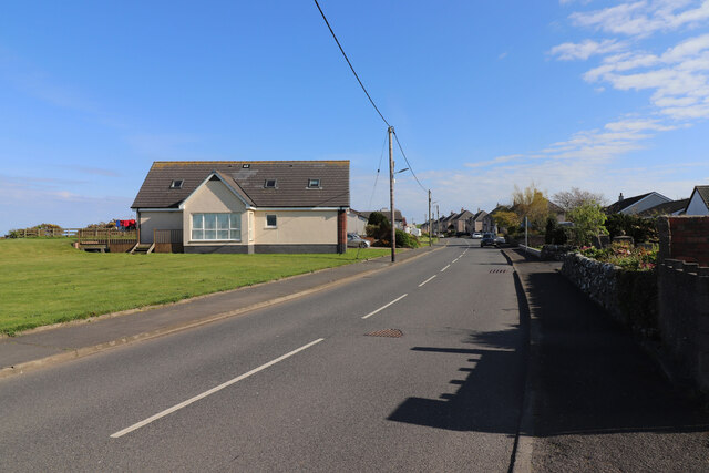
Cairney Hill Images

Images are sourced within 2km of 54.694504/-4.9093485 or Grid Reference NX1237. Thanks to Geograph Open Source API. All images are credited.

Kilstay Bay Viewed from the A716 Drummore Road.
Kilstay Bay
Viewed from the A716 Drummore Road.
Shore at Kilstay Bay Viewed from next to the A716 Drummore Road.
Shore at Kilstay Bay
Viewed from next to the A716 Drummore Road.
The A716 to Stranraer Passing Kilstay Bay.
The A716 to Stranraer
Passing Kilstay Bay.
Shore at Kilstay Bay Viewed next to the A716 Drummore Road.
Shore at Kilstay Bay
Viewed next to the A716 Drummore Road.
Slipway at Kilstay Bay Next to the A716 Drummore to Stranraer Road.
Slipway at Kilstay Bay
Next to the A716 Drummore to Stranraer Road.
Slipway at Kilstay Bay Viewed from next to the A716 Drummore to Stranraer Road.
Slipway at Kilstay Bay
Viewed from next to the A716 Drummore to Stranraer Road.
Drummore Harbour Viewed from the junction of Harbour Road and Harbour Terrace.
Drummore Harbour
Viewed from the junction of Harbour Road and Harbour Terrace.
Drummore Harbour Viewed from the junction of Harbour Road and Harbour Terrace.
Drummore Harbour
Viewed from the junction of Harbour Road and Harbour Terrace.
Harbour Terrace, Drummore Viewed from Harbour Road.
Harbour Terrace, Drummore
Viewed from Harbour Road.
Kids Play Area, Drummore Viewed from Mill Street.
Kids Play Area, Drummore
Viewed from Mill Street.
Mariners Coffee Shop, Drummore On Mill Street, sign at the entrance says "Gone fishing".
Mariners Coffee Shop, Drummore
On Mill Street, sign at the entrance says "Gone fishing".
Mill Street, Drummore Leading to Drummore Harbour.
Mill Street, Drummore
Leading to Drummore Harbour.
Gateway Garden, Drummore On Stair Street as you enter the Village. Flying the flag for Ukraine.
Gateway Garden, Drummore
On Stair Street as you enter the Village. Flying the flag for Ukraine.
Busy Man at Drummore At the Gateway Garden on Stair Street as you enter the Village.
Busy Man at Drummore
At the Gateway Garden on Stair Street as you enter the Village.
Gateway Garden, Drummore On Stair Street as you enter the Village.
Gateway Garden, Drummore
On Stair Street as you enter the Village.
On the Mediterranean Nah, just the Gateway Garden on Stair Street as you enter Drummore.
On the Mediterranean
Nah, just the Gateway Garden on Stair Street as you enter Drummore.
Gateway Garden, Drummore On Stair Street as you enter the Village looking out to Sea.
Gateway Garden, Drummore
On Stair Street as you enter the Village looking out to Sea.
Stair Street, Drummore Leading into the Village and Harbour.
Stair Street, Drummore
Leading into the Village and Harbour.
Show me another place!

Cairney Hill is located at Grid Ref: NX1237 (Lat: 54.694504, Lng: -4.9093485)

Unitary Authority: Dumfries and Galloway

Police Authority: Dumfries and Galloway

What 3 Words

///prospers.sounds.belong. Near Drummore, Dumfries & Galloway

Related Wikis

Kirkmaiden

Kirkmaiden is a parish in the Rhins of Galloway, the most southerly in Scotland; the present Church of Scotland parish has the same name as and is approximately...

Kirkmaiden (village)

Kirkmaiden (sometimes Maidenkirk; Scottish Gaelic: Cill M'Eudan) is a small settlement in Galloway, Scotland, located approximately 17 miles (27 km) south...

Drummore

Drummore (drum-ORE; (from Gaelic An Druim Mòr meaning "the great ridge") is the southernmost village in Scotland, located at the southern end of the Rhins...

Port Logan

Port Logan, formerly Port Nessock, is a small village in the parish of Kirkmaiden in the Rhins of Galloway in Wigtownshire. The Gaelic name is Port Neasaig...

Nearby Amenities

Located within 500m of 54.694504,-4.9093485
Kirkmaiden
Place: hamlet
Lat/Long: 54.6913435/-4.911493
Post Box
Post Box Type: wall
Lat/Long: 54.6918386/-4.9122369
Cairney Hill
Natural: peak
Lat/Long: 54.6947683/-4.9093542
Historic: monument
Lat/Long: 54.6928731/-4.9113448
Telephone
Booth: K6
Covered: booth
Lat/Long: 54.6917162/-4.9124056
Power: pole
Lat/Long: 54.6978219/-4.9054047
Power: pole
Lat/Long: 54.6971738/-4.9048266
Power: pole
Lat/Long: 54.6963766/-4.9041106
Power: pole
Lat/Long: 54.6954919/-4.9033229
Power: pole
Lat/Long: 54.6949302/-4.9025255
Power: pole
Lat/Long: 54.6944889/-4.9019182
Power: pole
Lat/Long: 54.6967702/-4.9028359
Power: pole
Lat/Long: 54.6954314/-4.9033966
Power: pole
Lat/Long: 54.694845/-4.904033
Power: pole
Lat/Long: 54.6941666/-4.9048091
Power: pole
Lat/Long: 54.6935992/-4.9054125
Power: pole
Lat/Long: 54.6931977/-4.9058587
Power: pole
Lat/Long: 54.6926763/-4.9064796
Power: pole
Lat/Long: 54.6921964/-4.9070481
Power: pole
Lat/Long: 54.6918959/-4.9077911
Power: pole
Lat/Long: 54.6915292/-4.9086312
Power: pole
Lat/Long: 54.6910571/-4.9097643
Power: pole
Lat/Long: 54.6906309/-4.9107713
Power: pole
Lat/Long: 54.6935308/-4.9068599
Power: pole
Lat/Long: 54.693884/-4.9078668
Power: pole
Lat/Long: 54.6941991/-4.9088117
Power: pole
Lat/Long: 54.6944245/-4.9094267
Power: pole
Lat/Long: 54.6947272/-4.9103231
Power: pole
Lat/Long: 54.6948808/-4.9109924
Power: pole
Lat/Long: 54.6906377/-4.9119431
Power: pole
Lat/Long: 54.6931983/-4.9133032
Power: pole
Lat/Long: 54.693833/-4.9143199
Power: pole
Lat/Long: 54.6939417/-4.9154374
Power: pole
Lat/Long: 54.6940415/-4.9166364
Power: pole
Lat/Long: 54.6941514/-4.9163221
High Curghie
Place: farm
Lat/Long: 54.6906624/-4.9128255
The data included in this document is from www.openstreetmap.org. The data is made available under ODbL.

Have you been to Cairney Hill?

Leave your review of Cairney Hill below (or comments, questions and feedback).