Beacon Hill
Hill, Mountain in Cornwall
England
Beacon Hill
The requested URL returned error: 429 Too Many Requests
If you have any feedback on the listing, please let us know in the comments section below.
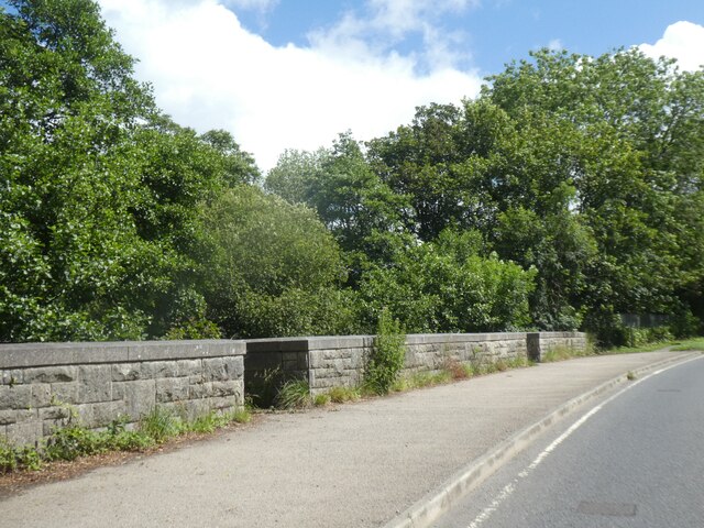
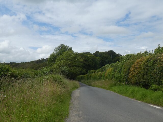
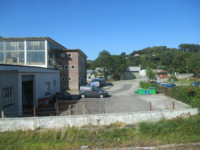
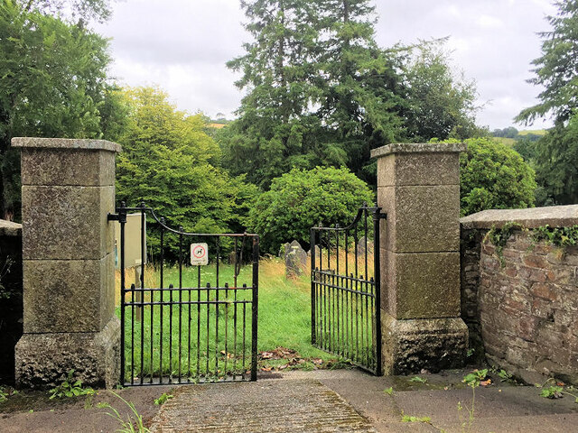
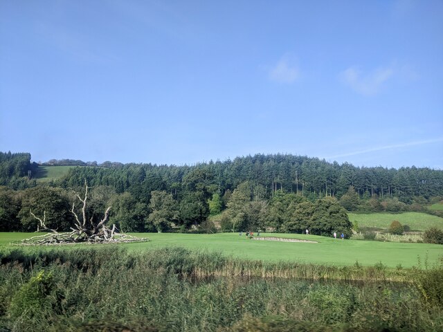
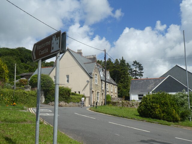
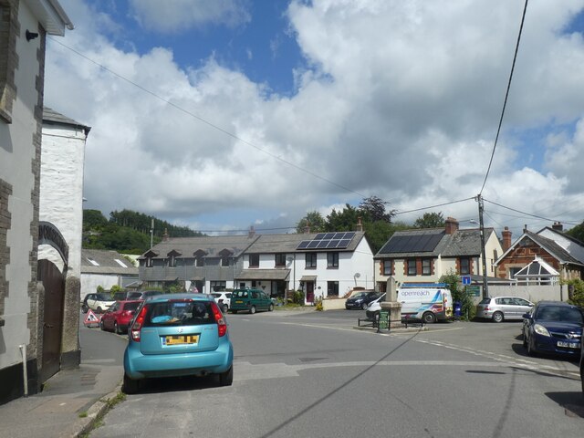
Beacon Hill Images
Images are sourced within 2km of 50.407042/-4.642284 or Grid Reference SX1259. Thanks to Geograph Open Source API. All images are credited.


Beacon Hill is located at Grid Ref: SX1259 (Lat: 50.407042, Lng: -4.642284)
Unitary Authority: Cornwall
Police Authority: Devon and Cornwall
What 3 Words
///someone.spotty.riverbed. Near Lostwithiel, Cornwall
Nearby Locations
Related Wikis

Redlake Meadows & Hoggs Moor
Redlake Meadows & Hoggs Moor is a Site of Special Scientific Interest (SSSI), noted for its biological characteristics, in Cornwall, England, UK. Within...
Sandylake
Sandylake is a hamlet east of Lostwithiel in Cornwall, England. It is on the A30 main road. == References ==

A390 road
The A390 is a road in Cornwall and Devon, England. It runs from Tavistock to 5 miles (8.0 km) north west of the city of Truro. Starting in Tavistock, it...

Lostwithiel railway station
Lostwithiel railway station (Cornish: Lostwydhyel) serves the town of Lostwithiel in Cornwall, England. It is 277 miles 36 chains (277.45 mi; 446.5 km...
Nearby Amenities
Located within 500m of 50.407042,-4.642284Have you been to Beacon Hill?
Leave your review of Beacon Hill below (or comments, questions and feedback).