Moruisg

Hill, Mountain in Ross-shire

Scotland

Moruisg

Small cairn at the true summit of Moruisg
Small cairn at the true summit of Moruisg Credit: Steven Brown

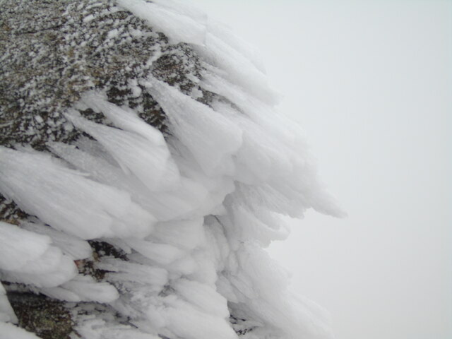
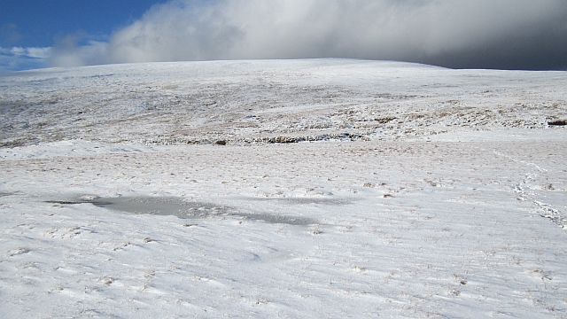
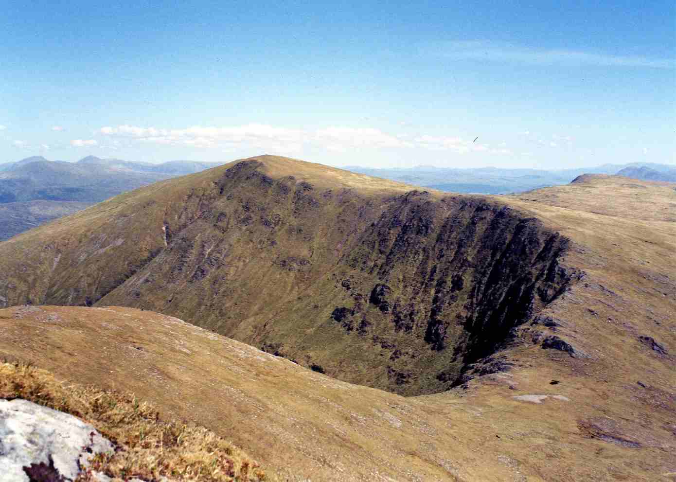
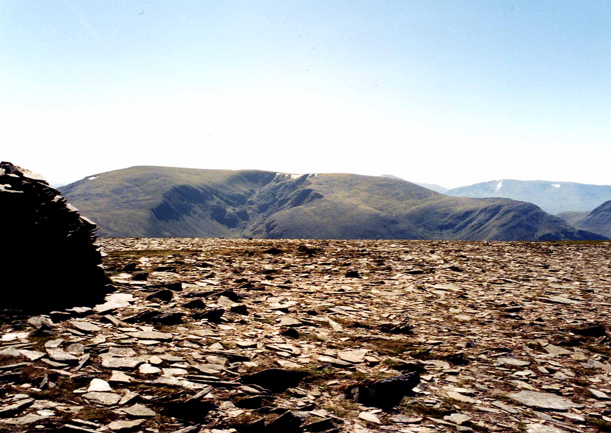
Moruisg is a prominent hill located in Ross-shire, a county in the Scottish Highlands. It stands at an impressive height of 928 meters (3,045 feet) and is part of the Torridon mountain range. The hill is known for its rugged and majestic beauty, attracting outdoor enthusiasts, hikers, and climbers from around the world.

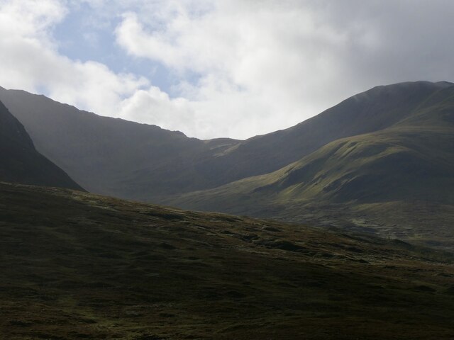
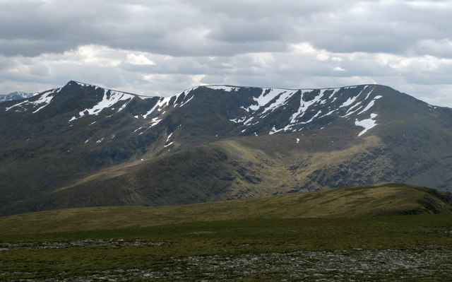
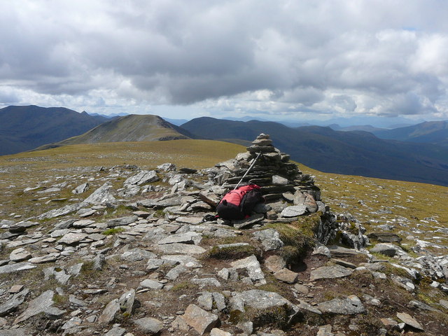
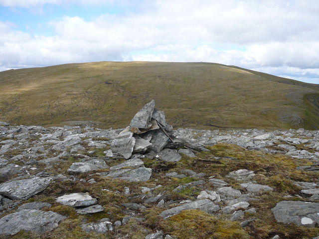
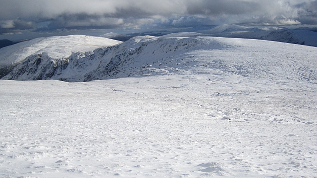
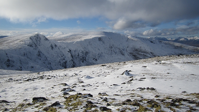
Moruisg boasts a distinctive pyramidal shape, with its slopes covered in a mixture of grasses, heather, and scattered boulders. Its summit offers breathtaking panoramic views of the surrounding landscape, including the nearby peaks of Beinn Liath Mhòr and Sgùrr nan Ceannaichean. On clear days, it is possible to spot the shimmering waters of Loch Carron to the southwest.

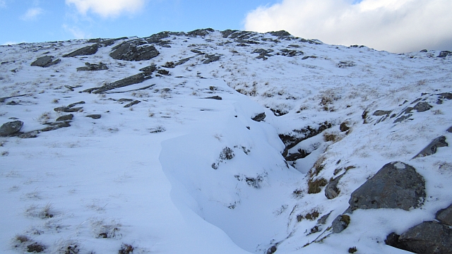
The hill is accessible via a well-defined path that starts from the A890 road, near the village of Achnasheen. The ascent is moderate, making it suitable for experienced hikers and those looking to challenge themselves. The path follows the southern ridge, providing stunning vistas of the surrounding glens and lochs.

Moruisg is also home to various wildlife species, including red deer, mountain hares, and golden eagles. The hill is part of a designated Site of Special Scientific Interest, preserving its unique flora and fauna.

Overall, Moruisg offers a rewarding outdoor experience for nature enthusiasts and mountaineers alike. Its striking beauty, diverse wildlife, and challenging terrain make it a must-visit destination for those seeking adventure and a deep connection with the Scottish Highlands.

If you have any feedback on the listing, please let us know in the comments section below.
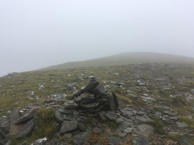
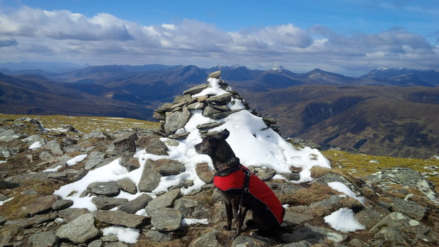
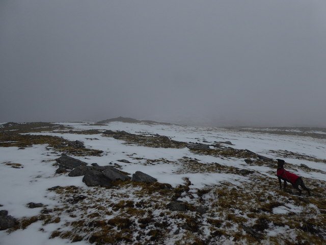
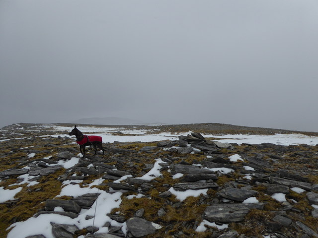
Moruisg Images

Images are sourced within 2km of 57.499773/-5.1706586 or Grid Reference NH1049. Thanks to Geograph Open Source API. All images are credited.

Small cairn at the true summit of Moruisg
Summit cairn, Moruisg
Snowy plateau above Coireag nam Mang
Minor summit to east of Moruisg
Snow, Moruisg Summit Cairn
Coire Toll nam Bian Between Moruisg and Sgùrr nan Ceannaichean.
Coire Toll nam Bian
Between Moruisg and Sgùrr nan Ceannaichean.
Thinly grassed slopes south from summit of Moruisg Gentle slopes mainly of grass but with some stoniness run away south from the summit of the mountain. The snow-patched peaks to the south are Bidean an Eoin Deirg, and Sgurr a’ Chaorachain.
Thinly grassed slopes south from summit of Moruisg
Gentle slopes mainly of grass but with some stoniness run away south from the summit of the mountain. The snow-patched peaks to the south are Bidean an Eoin Deirg, and Sgurr a’ Chaorachain.
The summit cairn on Moruisg The summit of Moruisg is very rounded with no shelter to stop for lunch.
The summit cairn on Moruisg
The summit of Moruisg is very rounded with no shelter to stop for lunch.
Un-named summit 872 metres with view towards Moruisg
Col east of Moruisg The ridge east of Moruisg with a string of tops with steep faces falling to Coireachan Raineach. The col is very boggy.
Col east of Moruisg
The ridge east of Moruisg with a string of tops with steep faces falling to Coireachan Raineach. The col is very boggy.
Landslip fissure, Coireachan Raineach A long and deep crack running along the ridge above Coireachan Raineach, evidence of a failed slope after the supporting ice mass melted. The corries have steep headwalls.
Landslip fissure, Coireachan Raineach
A long and deep crack running along the ridge above Coireachan Raineach, evidence of a failed slope after the supporting ice mass melted. The corries have steep headwalls.
A summit cairn of Moruisg There are two cairns of approximately the same height as well as a bigger one which is slightly lower.
A summit cairn of Moruisg
There are two cairns of approximately the same height as well as a bigger one which is slightly lower.
Summit cairn on a top of Moruisg The 872m summit to the east of Moruisg, above Coireachan Raineach.
Summit cairn on a top of Moruisg
The 872m summit to the east of Moruisg, above Coireachan Raineach.
Coireachan Raineach The headwall of Corieachan Raineach, the complex of corries on the east side of Moruisg.
Coireachan Raineach
The headwall of Corieachan Raineach, the complex of corries on the east side of Moruisg.
Summit, Moruisg View along the ridge towards Sgùrr nan Ceannaichean.
Summit, Moruisg
View along the ridge towards Sgùrr nan Ceannaichean.
Above Coire a' Chlaiginn A boggy hollow below the summit of Moruisg. There is a good view southwards across Gleann Fhiodhaig towards Bidean an Eòin Deirg.
Above Coire a' Chlaiginn
A boggy hollow below the summit of Moruisg. There is a good view southwards across Gleann Fhiodhaig towards Bidean an Eòin Deirg.
Bog on Moruisg Some very wet ground on the col east of the highest summit.
Bog on Moruisg
Some very wet ground on the col east of the highest summit.
Moruisg Even slopes on the south east side of the summit.
Moruisg
Even slopes on the south east side of the summit.
Show me another place!

Moruisg is located at Grid Ref: NH1049 (Lat: 57.499773, Lng: -5.1706586)

Unitary Authority: Highland

Police Authority: Highlands and Islands

What 3 Words

///alarming.observes.bagpipes. Near Achnasheen, Highland

Related Wikis

Mòruisg

Mòruisg is a Scottish mountain situated in the Glencarron and Glenuig Forest, 10 kilometres south west of the village of Achnasheen in the Highland council...

Sgùrr nan Ceannaichean

Sgùrr nan Ceannaichean is a Scottish mountain situated 13 kilometres southwest of the village of Achnasheen on the southern side of Glen Carron within...

Loch Scaven

Loch Scaven (Gaelic: Loch Sgamhain) is a small freshwater loch at the head of Glen Carron near the source of the River Carron, Wester Ross, Scotland. It...

Glencarron Estate

The Glencarron Estate is a 12,000 acre highland estate in Wester Ross. It provides sports facilities for fishing (river and loch) and grouse shooting....

Glencarron Platform railway station

Glencarron Platform was an intermediate halt on the Dingwall and Skye Railway between Achnashellach and Achnasheen. It was 36 miles 19 chains (58.3 km...

Maoile Lunndaidh

Maoile Lunndaidh or Maoil Lunndaidh is a Scottish mountain situated 13 km south of Achnasheen in the Ross and Cromarty district of the Highland council...

Ledgowan Forest

Ledgowan Forest is a deer forest in the Northwest Highlands of Scotland. It stands in Wester Ross to the southwest of Achnasheen. Ledgowan Forest is the...

Sgurr a' Chaorachain (Munro)

Sgurr a' Chaorachain (Scottish Gaelic: Sgùrr a' Chaorthachain) is a mountain with a height of 1,053 metres (3,455 ft) in the Northwest Highlands, Scotland...

Nearby Amenities

Located within 500m of 57.499773,-5.1706586
Mòruisg
Description: Big water
Ele: 928
Man Made: cairn
Marilyn: yes
Munro: yes
Munro Number: M255
Natural: peak
Prominence: 594
Source: NPE
Wikidata: Q8524097
Wikipedia: en:Mòruisg
Lat/Long: 57.499707/-5.1706291
Man Made: cairn
Lat/Long: 57.5005998/-5.169581
Man Made: cairn
Lat/Long: 57.5021699/-5.1679543
The data included in this document is from www.openstreetmap.org. The data is made available under ODbL.

Have you been to Moruisg?

Leave your review of Moruisg below (or comments, questions and feedback).