Am Màm
Hill, Mountain in Inverness-shire
Scotland
Am Màm

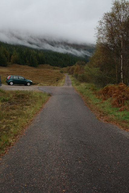
Am Màm is a prominent hill located in Inverness-shire, Scotland. It is part of the wider Monadhliath Mountains, a range known for its breathtaking landscapes and rich biodiversity. Am Màm stands at an elevation of approximately 774 meters (2,539 feet), making it a significant peak in the region.
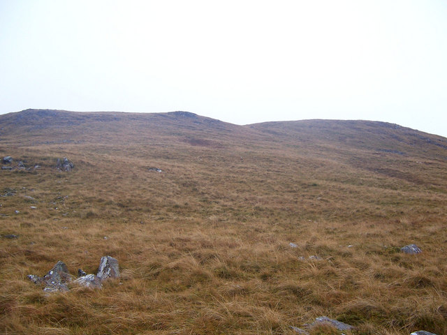
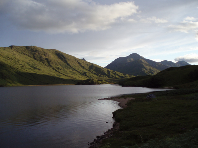
The hill's name, Am Màm, translates to "the pass" in English, referring to its location between two glens, Glen Markie and Glen Tarff. This geographical positioning offers visitors stunning panoramic views of the surrounding valleys, lochs, and mountains. The hill is often praised for its unique topography, characterized by rugged terrain, deep gorges, and steep slopes.
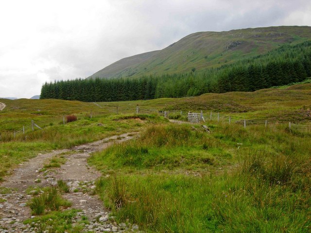
Am Màm is a popular destination for hikers and nature enthusiasts. Several trails lead to its summit, offering a range of difficulty levels to cater to different abilities. The ascent can be challenging, particularly in adverse weather conditions, but the reward is well worth the effort. From the top, one can admire the vast expanse of the Scottish Highlands, with Ben Nevis, the highest peak in the British Isles, visible on clear days.
The hill is also home to a diverse array of flora and fauna. Heather, wildflowers, and mosses carpet the slopes, while golden eagles, ptarmigans, and red deer can often be spotted in the area. Am Màm provides an ideal habitat for various bird species, making it a popular spot among birdwatchers.
Overall, Am Màm is a captivating hill in Inverness-shire, offering visitors a chance to immerse themselves in the natural beauty and tranquility of the Scottish Highlands.
If you have any feedback on the listing, please let us know in the comments section below.
Am Màm Images
Images are sourced within 2km of 56.923506/-5.1234862 or Grid Reference NN0985. Thanks to Geograph Open Source API. All images are credited.


Am Màm is located at Grid Ref: NN0985 (Lat: 56.923506, Lng: -5.1234862)
Unitary Authority: Highland
Police Authority: Highlands and Islands
What 3 Words
///drop.manly.drones. Near Gairlochy, Highland
Nearby Locations
Related Wikis

Glen Loy
Glen Loy is a glen or valley in the Northwest Highlands of Scotland which opens onto the Great Glen at its eastern end. It is drained by the River Loy...
Battle of Drumlui
The Battle of Drumlui was a Scottish clan battle that took place in either 1330 or 1337, in the Scottish Highlands between the Clan Cameron and the Clan...
Druim Fada (Corpach)
Druim Fada (744 m) is a mountain in the Northwest Highlands of Scotland. It lies on the northern shore of Loch Eil in Lochaber, near the village of Corpach...

Beinn Bhàn (Arkaig)
Beinn Bhàn is a Scottish mountain situated in the Lochaber region of the Highland Council Area. It stands 6 miles (10 km) north-west of Spean Bridge. The...
Loch Arkaig
Loch Arkaig (Scottish Gaelic: Loch Airceig) is a body of freshwater in Lochaber, Scotland, to the west of the Great Glen. It is approximately 12 miles...

Ardechive
Ardechive (Scottish Gaelic: Àird Eachbhaidh) is a small crofting hamlet, located on the shores of Loch Arkaig, close to Achnasaul and Spean Bridge, county...
Glen Loy Aqueduct
The Glen Loy Aqueduct (or Glenloy Aqueduct) carries the Caledonian Canal over the River Loy, near Muirshearlich, between Banavie and Gairlochy. == History... ==

Muirshearlich
Muirshearlich (Scottish Gaelic: Muir Sìorlaich) is a small hamlet, 4 miles northeast of Fort William, along the B8004 road, in Lochaber, Scottish Highlands...
Have you been to Am Màm?
Leave your review of Am Màm below (or comments, questions and feedback).