Brockloch Fell
Hill, Mountain in Wigtownshire
Scotland
Brockloch Fell
Brockloch Fell is a prominent hill located in the region of Wigtownshire, in southwest Scotland. Standing at an elevation of 200 meters (656 feet), it is considered more of a hill rather than a mountain. The fell is positioned just a few miles to the southeast of the village of Garlieston.
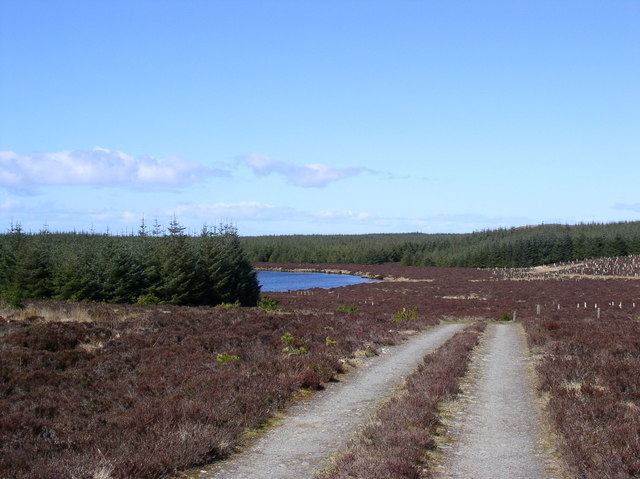
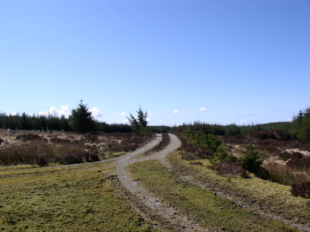
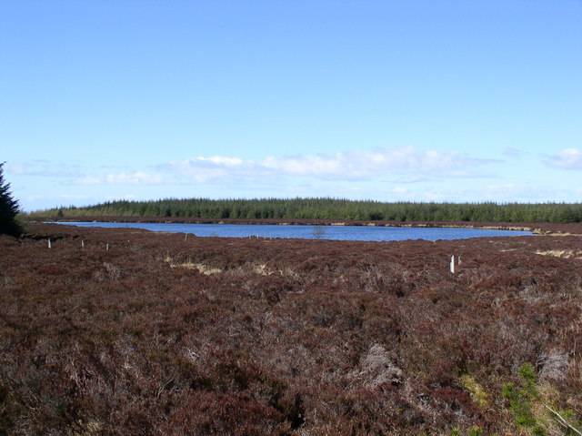
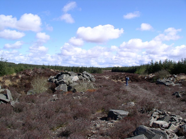
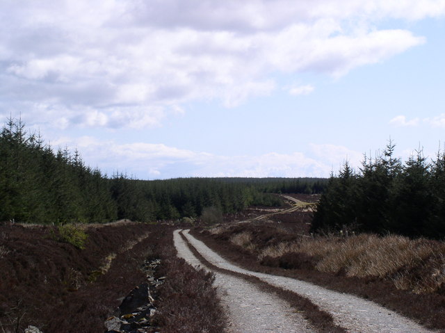
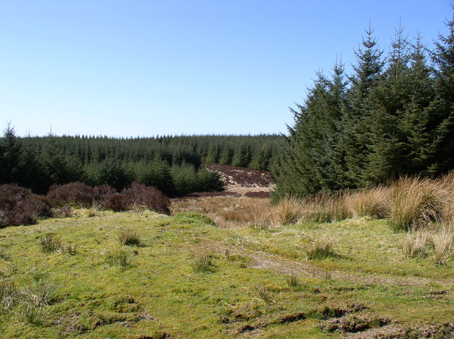
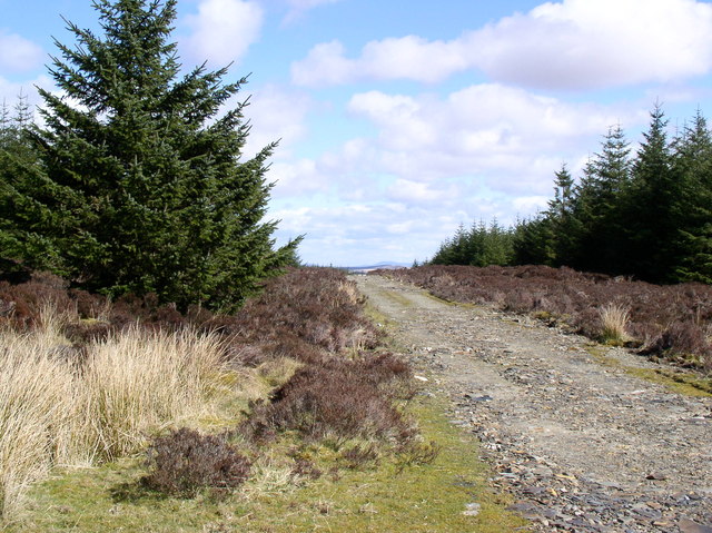
Brockloch Fell is characterized by its distinctive cone-shaped summit, which offers panoramic views of the surrounding countryside. The hill is mostly composed of granite and features a relatively gentle slope, making it accessible to hikers of various skill levels. Its well-defined paths and trails attract outdoor enthusiasts and nature lovers who seek to explore the area's natural beauty.
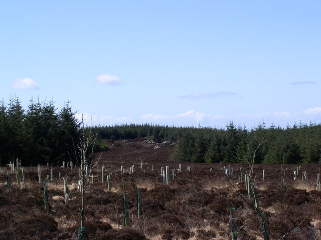
The hill is covered in heather and grasses, providing an ideal habitat for a variety of wildlife, including red deer, mountain hares, and numerous bird species. The area is also known for its diverse plant life, with a range of wildflowers and mosses adorning the landscape.
In addition to its natural attractions, Brockloch Fell holds historical significance. The remains of an Iron Age hillfort can be found near its summit, offering visitors a glimpse into the area's ancient past. This archaeological site adds to the hill's allure and draws those interested in history and heritage.
Overall, Brockloch Fell is a captivating destination for outdoor enthusiasts, offering stunning views, diverse wildlife, and a glimpse into the region's rich history.
If you have any feedback on the listing, please let us know in the comments section below.
Brockloch Fell Images
Images are sourced within 2km of 54.992444/-4.9728026 or Grid Reference NX0970. Thanks to Geograph Open Source API. All images are credited.


Brockloch Fell is located at Grid Ref: NX0970 (Lat: 54.992444, Lng: -4.9728026)
Unitary Authority: Dumfries and Galloway
Police Authority: Dumfries and Galloway
What 3 Words
///yappy.refreshed.poodle. Near Cairnryan, Dumfries & Galloway
Nearby Locations
Related Wikis

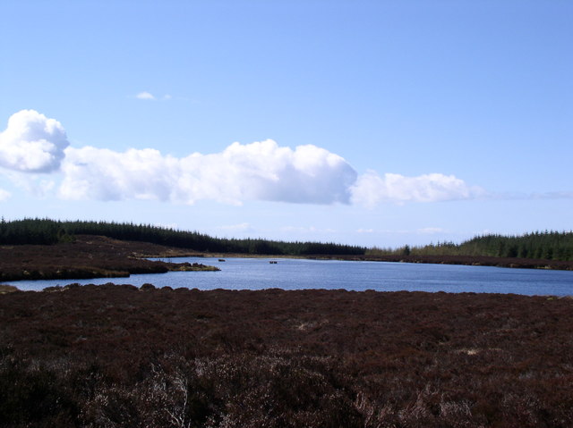
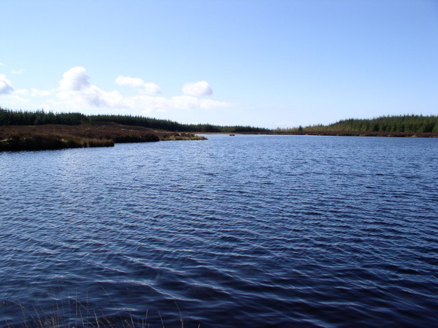
Penwhirn Reservoir
Penwhirn Reservoir, is a reservoir in Dumfries and Galloway, Scotland, approximately 3.5 miles (6 km) east of Cairnryan. The reservoir was built in the...

Loups of Dalnigap
Loups of Dalnigap is a waterfall of Scotland. It sits below Dalnigap House, in the South of the Lagafater Estate. == See also == Waterfalls of Scotland...

Cairnryan
Cairnryan (Scots: The Cairn; Scottish Gaelic: Càrn Rìoghain or Machair an Sgithich) is a village in the historical county of Wigtownshire, Dumfries and...

Cairnryan Harbour
Cairnryan Harbour is a roll-on ferry terminal on Loch Ryan in south west Scotland north of Stranraer. In World War II it was developed as an emergency...

Loch Ryan
Loch Ryan (Scottish Gaelic: Loch Rìoghaine, pronounced [l̪ˠɔx ˈrˠiː.ɛɲə]) is a Scottish sea loch that acts as an important natural harbour for shipping...
Inch, Dumfries and Galloway
Inch is a civil parish in Dumfries and Galloway, southwest Scotland. It lies on the shore of Loch Ryan, in the traditional county of Wigtownshire.The...
RAF Wig Bay
Royal Air Force Wig Bay, or more simply RAF Wig Bay, is a former Royal Air Force station near Stranraer, Dumfries and Galloway, Scotland The following...
The Lagafater Estate
Lagafater is a 7000-acre (2832.8 ha) former sporting estate near New Luce in Dumfries and Galloway, Scotland. Since 1910 it has been in the family of its...
Nearby Amenities
Located within 500m of 54.992444,-4.9728026Have you been to Brockloch Fell?
Leave your review of Brockloch Fell below (or comments, questions and feedback).