Bar Hill

Hill, Mountain in Wigtownshire

Scotland

Bar Hill

Ardwell House, Ardwell, Wigtownshire The estate house at Ardwell owned by and occupied by the Brewis family.
Ardwell House, Ardwell, Wigtownshire Credit: Colin McDonald

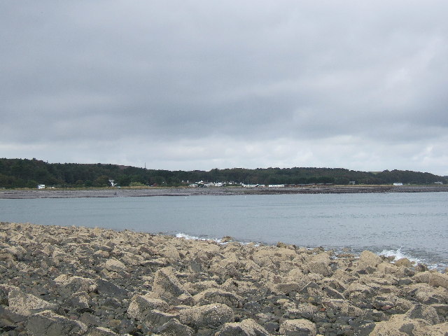
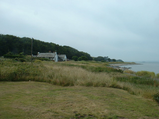
Bar Hill is a prominent hill located in Wigtownshire, Scotland. Situated near the town of Wigtown, it is a notable landmark in the region. Standing at an elevation of approximately 400 meters (1,312 feet), Bar Hill offers stunning panoramic views of the surrounding landscape.

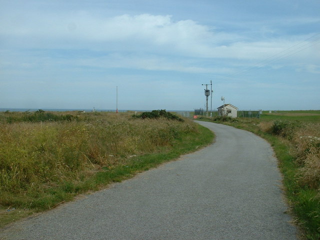
Covered in heather and grass, the hill is part of the Galloway Hills range, which stretches across the southern uplands of Scotland. It is a popular destination for hikers and nature enthusiasts, who can enjoy the diverse flora and fauna found in the area. The hill also boasts several walking trails that cater to different levels of difficulty, making it accessible for both experienced climbers and casual walkers.

One of the notable features of Bar Hill is its prominent summit, which is easily recognizable due to its distinct shape. From the top, visitors can take in breathtaking views of the rolling hills, picturesque valleys, and nearby bodies of water such as Loch Ryan.

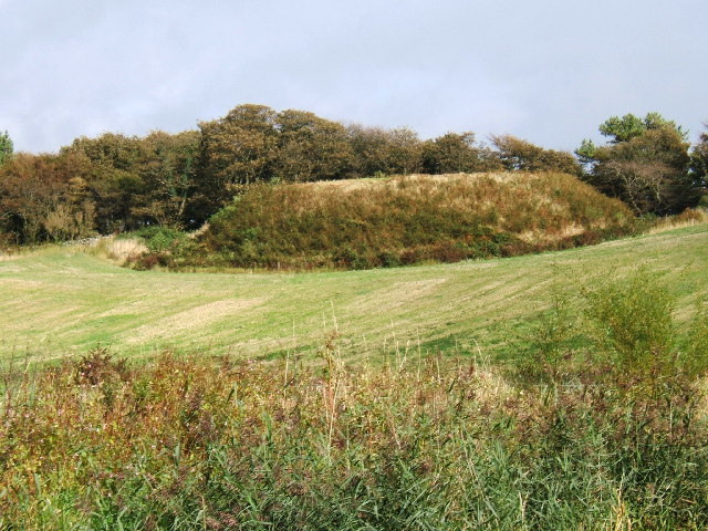
Bar Hill is also known for its rich history. It is believed to have been used as a fortification site during ancient times, with remnants of old stone walls still visible in some areas. The hill has also played a role in local folklore and legends, adding to its mystique and allure.

Overall, Bar Hill is a captivating natural landmark that offers both scenic beauty and historical significance. Whether one seeks adventure or tranquility, this hill in Wigtownshire provides a memorable experience for all who visit.

If you have any feedback on the listing, please let us know in the comments section below.
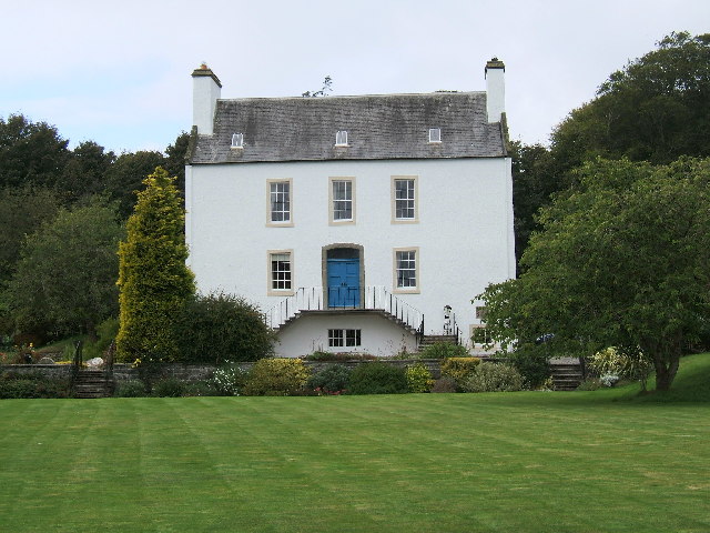
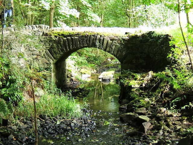
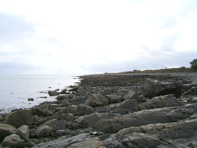
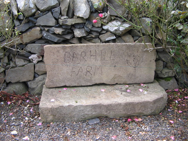
Bar Hill Images

Images are sourced within 2km of 54.762403/-4.9563698 or Grid Reference NX0944. Thanks to Geograph Open Source API. All images are credited.

Ardwell House, Ardwell, Wigtownshire The estate house at Ardwell owned by and occupied by the Brewis family.
Ardwell House, Ardwell, Wigtownshire
The estate house at Ardwell owned by and occupied by the Brewis family.
An old cartpath and bridge within Ardwell Estate This old bridge is close to Ardwell houses, Ardwell, about 10 miles South of Stranraer.
An old cartpath and bridge within Ardwell Estate
This old bridge is close to Ardwell houses, Ardwell, about 10 miles South of Stranraer.
The rocky shore between Longrigg and Logan Mill Photograph taken around the point from Longrigg near Ardwell.
The rocky shore between Longrigg and Logan Mill
Photograph taken around the point from Longrigg near Ardwell.
The remains of a Motte and Bailey castle, Ardwell, Stranraer These are all that remain of a Motte and Bailey castle within the grounds of Ardwell House, Ardwell, Stranraer. The modern OS maps have it marked as Ardwell Motte and the shape is unmistakable. When closer, the ditch around the Motte is still noticeable and in fact, the estate have built two wooden bridges over the ditch, one at either side of a marked walk.
The remains of a Motte and Bailey castle, Ardwell, Stranraer
These are all that remain of a Motte and Bailey castle within the grounds of Ardwell House, Ardwell, Stranraer. The modern OS maps have it marked as Ardwell Motte and the shape is unmistakable. When closer, the ditch around the Motte is still noticeable and in fact, the estate have built two wooden bridges over the ditch, one at either side of a marked walk.
Chapel Rossan Bay looking across to Ardwell village and caravan site. Chapel Rossan Bay taken from Chapel Rossan and looking across to Ardwell village, about 10 miles South of Stranraer.
Chapel Rossan Bay looking across to Ardwell village and caravan site.
Chapel Rossan Bay taken from Chapel Rossan and looking across to Ardwell village, about 10 miles South of Stranraer.
Ardwell Church, Ardwell, Stranraer Ardwell Church, Ardwell, Stranraer built in 1902.
Ardwell Church, Ardwell, Stranraer
Ardwell Church, Ardwell, Stranraer built in 1902.
Ardwell Church
Ardwell Church
Lane near Ardwell Church On the opposite side of the road, running south.
Lane near Ardwell Church
On the opposite side of the road, running south.
MoD Lookout on Luce Bay There is a barrier here, restricting access to the shore when military activities are underway.
MoD Lookout on Luce Bay
There is a barrier here, restricting access to the shore when military activities are underway.
Drumantrae On the shore of Luce Bay, looking north.
Drumantrae
On the shore of Luce Bay, looking north.
Ardwell Telephone Box
Auchness Tower, Ardwell The 16 century altered 3-storey tower was formerly known as Auchness Castle; it now forms part of a modern farmhouse. <span class="nowrap"><a title="http://canmore.org.uk/site/61124/auchness-farmhouse" rel="nofollow ugc noopener" href="http://canmore.org.uk/site/61124/auchness-farmhouse">Link</a><img style="margin-left:2px;" alt="External link" title="External link - shift click to open in new window" src="https://s1.geograph.org.uk/img/external.png" width="10" height="10"/></span>
Auchness Tower, Ardwell
The 16 century altered 3-storey tower was formerly known as Auchness Castle; it now forms part of a modern farmhouse. LinkExternal link
Balkelzie Bridge, Logan Toll Junction of the A716 and B7065 at Balkelzie Bridge.
Balkelzie Bridge, Logan Toll
Junction of the A716 and B7065 at Balkelzie Bridge.
Ardwell Church
Ardwell Church
Carved farm sign for Barhill farm
Ardwell House The house was built in the early 18th century. It has been in the McTaggart family since before 1800.
Ardwell House
The house was built in the early 18th century. It has been in the McTaggart family since before 1800.
Carved stone family crest This owl carving is the crest of the MacTaggart family owners of Ardwell House
Carved stone family crest
This owl carving is the crest of the MacTaggart family owners of Ardwell House
Ardwell House dovecot
Show me another place!

Bar Hill is located at Grid Ref: NX0944 (Lat: 54.762403, Lng: -4.9563698)

Unitary Authority: Dumfries and Galloway

Police Authority: Dumfries and Galloway

What 3 Words

///deep.polices.exporters. Near Drummore, Dumfries & Galloway

Related Wikis

Ardwell

Ardwell (from Gaelic Àrd Bhaile meaning "high town", pronounced as "Ardwell") is a village in the Scottish unitary council area of Dumfries and Galloway...

Logan Botanic Garden

Logan Botanic Garden is a botanical garden near Port Logan on the Rhins of Galloway, at the south-western tip of Scotland. The Botanic Garden was established...

Clachanmore

Clachanmore is a village in the South Rhins of Galloway near Ardwell in the south west of Scotland. It has also been known as Low Ardwell.The name of the...

Doon Castle Broch

Doon Castle Broch is an iron-age broch located in Dumfries and Galloway, Scotland (grid reference NX 06702 44683). == Location == The Broch is located...

Nearby Amenities

Located within 500m of 54.762403,-4.9563698
Power: pole
Lat/Long: 54.7584764/-4.9594125
Power: pole
Lat/Long: 54.7585383/-4.9583316
Power: pole
Lat/Long: 54.7586389/-4.9571782
Power: pole
Lat/Long: 54.7586961/-4.9559873
Power: pole
Lat/Long: 54.7588137/-4.9545068
Power: pole
Lat/Long: 54.7589252/-4.9529538
Power: pole
Lat/Long: 54.7590041/-4.9513766
Power: pole
Lat/Long: 54.7646698/-4.9629933
Power: pole
Lat/Long: 54.7640384/-4.9625319
Power: pole
Lat/Long: 54.7634256/-4.9620679
Power: pole
Lat/Long: 54.7626689/-4.9615234
Power: pole
Lat/Long: 54.761926/-4.9610513
Power: pole
Lat/Long: 54.7611894/-4.9606705
Power: pole
Lat/Long: 54.7604868/-4.9602708
Power: pole
Lat/Long: 54.7603506/-4.95886
Power: pole
Lat/Long: 54.7602144/-4.9575055
Power: pole
Lat/Long: 54.7600983/-4.9561375
Power: pole
Lat/Long: 54.7599946/-4.9548313
Power: pole
Lat/Long: 54.7598847/-4.9538013
Power: pole
Lat/Long: 54.7598058/-4.9527633
Power: pole
Lat/Long: 54.7598429/-4.9515241
Power: pole
Lat/Long: 54.7598816/-4.9501589
Power: pole
Lat/Long: 54.7593214/-4.9525031
Power: pole
Lat/Long: 54.7594731/-4.9536189
Power: pole
Lat/Long: 54.7596015/-4.9547723
Power: pole
Lat/Long: 54.7597826/-4.9562261
Power: pole
Lat/Long: 54.7599343/-4.9576664
Power: pole
Lat/Long: 54.76012/-4.9591148
Power: pole
Lat/Long: 54.760298/-4.9606141
Power: pole
Lat/Long: 54.7606245/-4.9613276
Power: pole
Lat/Long: 54.7609727/-4.9621376
Power: pole
Lat/Long: 54.7612095/-4.9627385
Power: pole
Lat/Long: 54.7615206/-4.9634519
Barhill Farm
Place: farm
Lat/Long: 54.7608193/-4.9549963
The data included in this document is from www.openstreetmap.org. The data is made available under ODbL.

Have you been to Bar Hill?

Leave your review of Bar Hill below (or comments, questions and feedback).