Mount Sallie Hill

Hill, Mountain in Wigtownshire

Scotland

Mount Sallie Hill

Please shut the gate An excellent reminder in colloqial Scots that closing the gate behind you is important under all circumstances. The animals that occasion the reminder are clustered on the hill overlooking Port Logan.
Please shut the gate Credit: Jonathan Wilkins

Mount Sallie Hill is a prominent hill located in the region of Wigtownshire, in the southwest of Scotland. Although it is referred to as a mountain, it is more accurately classified as a hill, with an elevation of approximately 218 meters (715 feet). The hill is situated near the village of Kirkinner and is a notable landmark in the area.

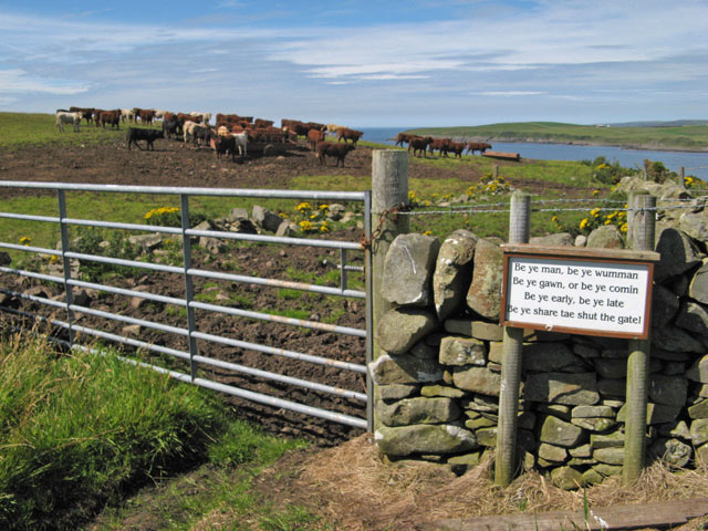
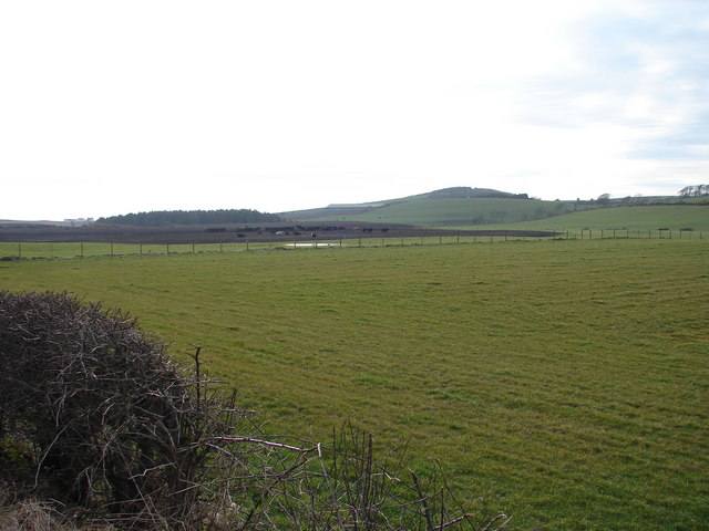
Mount Sallie Hill boasts a rounded and gently sloping summit, covered with lush green vegetation, including grasses, heather, and scattered shrubs. The hill offers breathtaking panoramic views of the surrounding countryside, with its rolling hills, farmland, and distant coastal areas. On clear days, it is even possible to spot the Isle of Man in the distance.

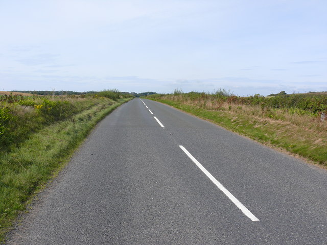
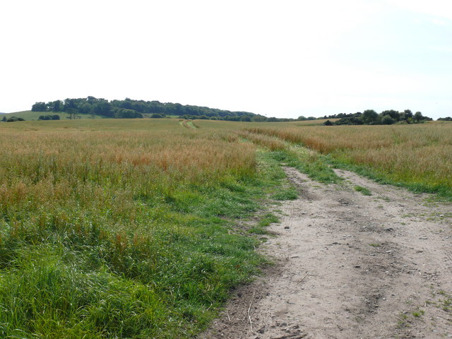
The hill is easily accessible to hikers and nature enthusiasts, with well-maintained footpaths leading to the summit. The ascent is not particularly challenging, making it suitable for people of all fitness levels. Visitors to Mount Sallie Hill can enjoy peaceful walks and picnics, taking in the picturesque scenery and enjoying the tranquil atmosphere.

The hill is also home to a variety of wildlife, including birds such as kestrels and buzzards, as well as small mammals like rabbits and hares. Its diverse flora and fauna make it a popular spot for nature lovers and birdwatchers.

In conclusion, Mount Sallie Hill is a beautiful and accessible hill in Wigtownshire, offering stunning views, peaceful walks, and opportunities to observe wildlife. Its natural charm and tranquility make it a must-visit destination for those exploring the scenic landscapes of southwest Scotland.

If you have any feedback on the listing, please let us know in the comments section below.

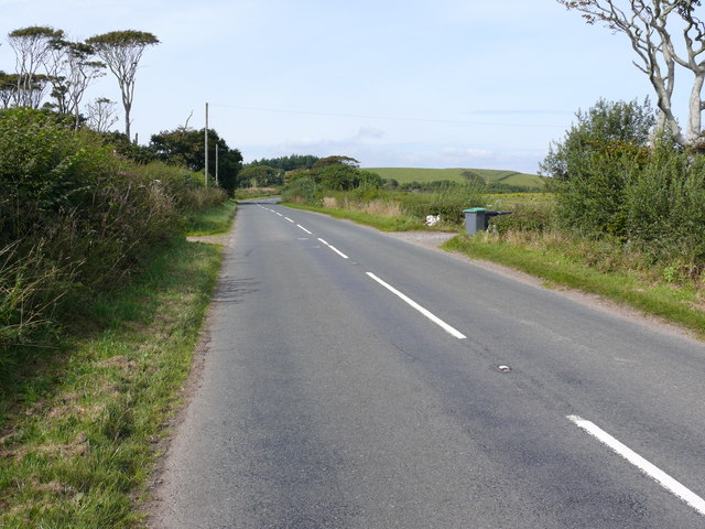
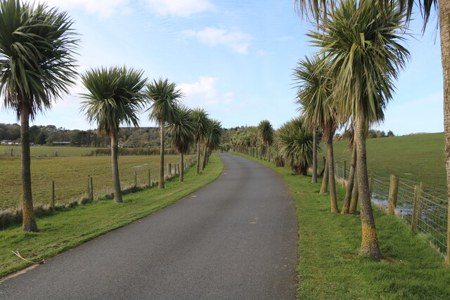
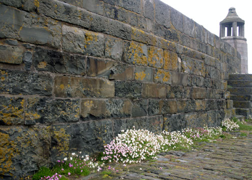
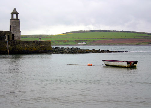
Mount Sallie Hill Images

Images are sourced within 2km of 54.735415/-4.9570439 or Grid Reference NX0941. Thanks to Geograph Open Source API. All images are credited.

Please shut the gate An excellent reminder in colloqial Scots that closing the gate behind you is important under all circumstances. The animals that occasion the reminder are clustered on the hill overlooking Port Logan.
Please shut the gate
An excellent reminder in colloqial Scots that closing the gate behind you is important under all circumstances. The animals that occasion the reminder are clustered on the hill overlooking Port Logan.
Track to Castle Clanyard
Paddy's Plantation Photo taken looking west, with the tight bend on the left going towards Killumpha Farm
Paddy's Plantation
Photo taken looking west, with the tight bend on the left going towards Killumpha Farm
Logan Botanic Gardens Entrance of the B7065
Logan Botanic Gardens
Entrance of the B7065
Muddy road in the Rhinns West Myroch farm in the distance.
Muddy road in the Rhinns
West Myroch farm in the distance.
Disused track The twin hedges indicate where this mapped track went, but it's clearly not used much now.
Disused track
The twin hedges indicate where this mapped track went, but it's clearly not used much now.
Auchabreck, South Rhins View from West Myroch northwest across the cattle crazing fields of Auchabreck.
Auchabreck, South Rhins
View from West Myroch northwest across the cattle crazing fields of Auchabreck.
New England Bay View along the A716 direction of Stranraer.
New England Bay
View along the A716 direction of Stranraer.
Balgowan Farm View across open land near to the farm, Killumpha Drive Plantation is left of picture on the horizon.
Balgowan Farm
View across open land near to the farm, Killumpha Drive Plantation is left of picture on the horizon.
Balgowan Farm View of this derelict cottage found in a field opposite the entrance to the farm. Several walls and the roof have collapsed.
Balgowan Farm
View of this derelict cottage found in a field opposite the entrance to the farm. Several walls and the roof have collapsed.
A716 View of this road from the entrance to Balgowan Farm, in the direction of Stranraer.
A716
View of this road from the entrance to Balgowan Farm, in the direction of Stranraer.
A716 View along this road towards Drummore. The tower right of picture behind the hedge and marked on OS Mapping, is of brick construction and appears to be a relic from WW2.
A716
View along this road towards Drummore. The tower right of picture behind the hedge and marked on OS Mapping, is of brick construction and appears to be a relic from WW2.
Road into Logan Botanic Garden Viewed in late March  (27th).
Road into Logan Botanic Garden
Viewed in late March (27th).
Exit Road from Logan Botanic Garden Onto the B7065. Viewed in late March  (27th).
Exit Road from Logan Botanic Garden
Onto the B7065. Viewed in late March (27th).
Port Logan Pier The harbour wall on Port Logan Pier is a feast of texture and colour.

The harbour is a natural feature, and forms a small sandy bay. 

The pier runs SW to NE, about dead centre of this grid square.

Port Logan achieved some fame through being featured in some TV programme or other, but remains a quiet and unspoiled place. Picnic tables are available here by the sands, offering a great view of the ancient harbour wall.

Nearby feature: Logan Fish Pond
In 1800 Colonel Andrew MacDouall created the Logan Fishpond,  on the north side of the bay. This is a circular pool, into which the sea washes at every tide through a narrow crevice, and then washed out again refreshing the water left behind. It was used to keep cod for the table at Logan House but today it is a marine centre.
Port Logan Pier
The harbour wall on Port Logan Pier is a feast of texture and colour. The harbour is a natural feature, and forms a small sandy bay. The pier runs SW to NE, about dead centre of this grid square. Port Logan achieved some fame through being featured in some TV programme or other, but remains a quiet and unspoiled place. Picnic tables are available here by the sands, offering a great view of the ancient harbour wall. Nearby feature: Logan Fish Pond In 1800 Colonel Andrew MacDouall created the Logan Fishpond, on the north side of the bay. This is a circular pool, into which the sea washes at every tide through a narrow crevice, and then washed out again refreshing the water left behind. It was used to keep cod for the table at Logan House but today it is a marine centre.
Boat in Port Logan Harbour A boat tied up in the natural harbour at Port Logan, Dumfries & Galloway.
Boat in Port Logan Harbour
A boat tied up in the natural harbour at Port Logan, Dumfries & Galloway.
Logan botanic gardens, Gunnera grove Logan is one of the National Botanic Gardens of Scotland. Warmed by the Gulf Stream and sheltered by trees, it grows many plants from the southern hemisphere. In the photo is a grove of Gunnera, from Andean cloud forests, and a cabbage tree from New Zealand.
Logan botanic gardens, Gunnera grove
Logan is one of the National Botanic Gardens of Scotland. Warmed by the Gulf Stream and sheltered by trees, it grows many plants from the southern hemisphere. In the photo is a grove of Gunnera, from Andean cloud forests, and a cabbage tree from New Zealand.
Port Logan fish pond These are the Buildings associated with the Victorian fish pond at Port Logan. To the left can be seen the small changing room for the bathers, although it was a bit too chilly for me on this bright February day.
Port Logan fish pond
These are the Buildings associated with the Victorian fish pond at Port Logan. To the left can be seen the small changing room for the bathers, although it was a bit too chilly for me on this bright February day.
Show me another place!

Mount Sallie Hill is located at Grid Ref: NX0941 (Lat: 54.735415, Lng: -4.9570439)

Unitary Authority: Dumfries and Galloway

Police Authority: Dumfries and Galloway

What 3 Words

///tentacles.nights.leader. Near Drummore, Dumfries & Galloway

Related Wikis

Logan Botanic Garden

Logan Botanic Garden is a botanical garden near Port Logan on the Rhins of Galloway, at the south-western tip of Scotland. The Botanic Garden was established...

Port Logan

Port Logan, formerly Port Nessock, is a small village in the parish of Kirkmaiden in the Rhins of Galloway in Wigtownshire. The Gaelic name is Port Neasaig...

Ardwell

Ardwell (from Gaelic Àrd Bhaile meaning "high town", pronounced as "Ardwell") is a village in the Scottish unitary council area of Dumfries and Galloway...

Doon Castle Broch

Doon Castle Broch is an iron-age broch located in Dumfries and Galloway, Scotland (grid reference NX 06702 44683). == Location == The Broch is located...

Clachanmore

Clachanmore is a village in the South Rhins of Galloway near Ardwell in the south west of Scotland. It has also been known as Low Ardwell.The name of the...

Kirkmaiden

Kirkmaiden is a parish in the Rhins of Galloway, the most southerly in Scotland; the present Church of Scotland parish has the same name as and is approximately...

Kirkmaiden (village)

Kirkmaiden (sometimes Maidenkirk; Scottish Gaelic: Cill M'Eudan) is a small settlement in Galloway, Scotland, located approximately 17 miles (27 km) south...

Drummore

Drummore (drum-ORE; (from Gaelic An Druim Mòr meaning "the great ridge") is the southernmost village in Scotland, located at the southern end of the Rhins...

Nearby Amenities

Located within 500m of 54.735415,-4.9570439
Botanic Gardens
Naptan AtcoCode: 680000834111
Naptan Bearing: NE
Naptan BusStopType: CUS
Naptan CommonName: Botanic Gardens
Naptan Indicator: Road End
Naptan Landmark: Botanic Gardens
Naptan NaptanCode: 34234946
Naptan Notes: none
Naptan Street: B7065
Naptan Verified: no
Source: naptan_import
Lat/Long: 54.7376538/-4.9504705
Mount Sallie Hill
Natural: peak
Lat/Long: 54.73497/-4.957591
West Thorney
Natural: peak
Lat/Long: 54.7387042/-4.9547107
Power: pole
Lat/Long: 54.734853/-4.9532476
Power: pole
Lat/Long: 54.7340666/-4.9540993
Power: pole
Lat/Long: 54.7337597/-4.9544001
Power: pole
Lat/Long: 54.7332422/-4.9552033
Power: pole
Lat/Long: 54.7327325/-4.9559736
Power: pole
Lat/Long: 54.7322048/-4.9567943
Power: pole
Lat/Long: 54.7316951/-4.9575703
Power: pole
Lat/Long: 54.7311002/-4.9584997
The data included in this document is from www.openstreetmap.org. The data is made available under ODbL.

Have you been to Mount Sallie Hill?

Leave your review of Mount Sallie Hill below (or comments, questions and feedback).