Higham

Settlement in Suffolk Babergh

England

Higham

View from Essex Way; Langham
View from Essex Way; Langham Credit: Mr James D

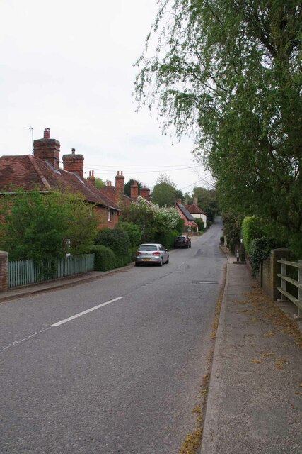
Higham is a small village located in the county of Suffolk, England. Situated approximately 10 miles northeast of Ipswich, the village is set in a rural area known for its picturesque landscapes and quaint charm. With a population of around 500 residents, Higham embodies a close-knit community atmosphere.

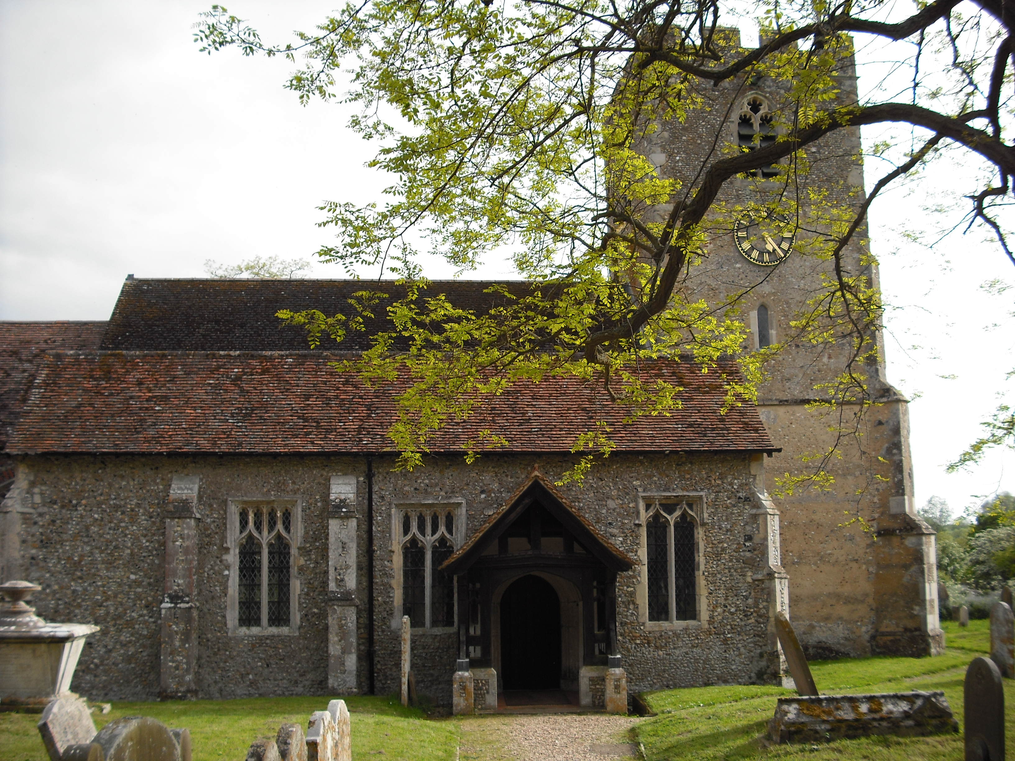
The village is characterized by its traditional architecture, with many historic buildings dating back to the 17th and 18th centuries. The centerpiece of Higham is its parish church, St. Mary's, which dates back to the 13th century and features stunning stained glass windows and intricate stonework.

Despite its small size, Higham offers a range of amenities for its residents and visitors. The village boasts a local pub, The White Horse, which serves as a gathering place for locals and offers a cozy atmosphere. Additionally, there is a village hall that hosts community events and activities.

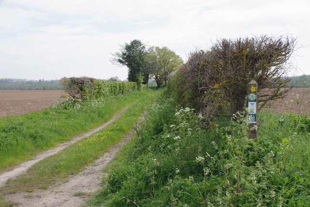
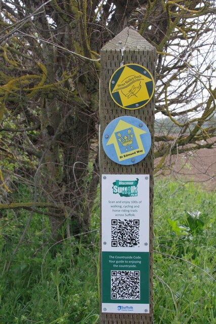
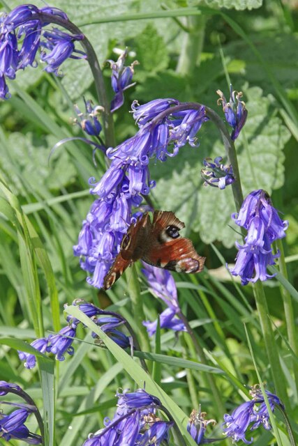
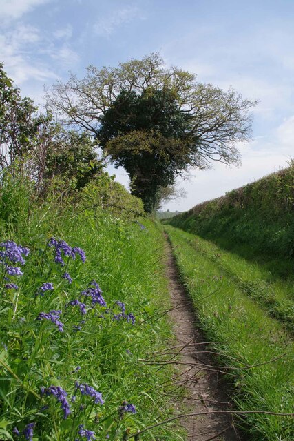
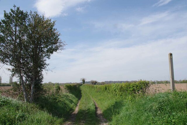
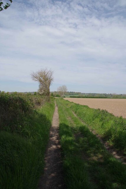
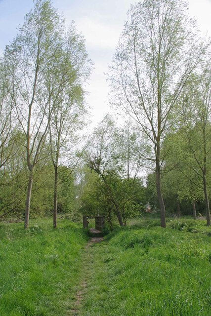
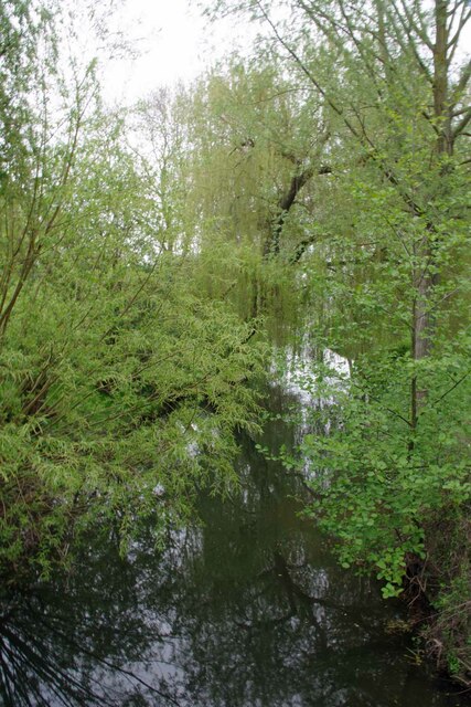
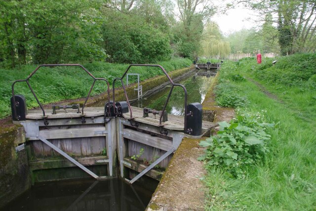
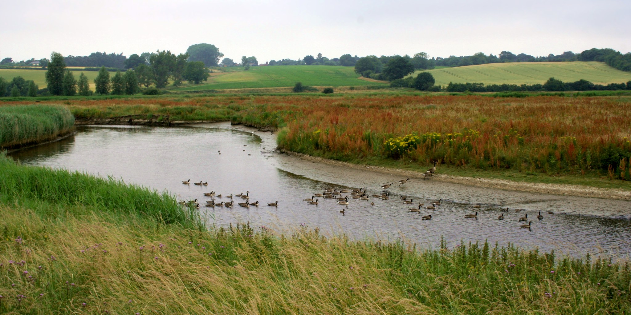
The surrounding countryside is the highlight of Higham, with rolling hills, meandering rivers, and tranquil woodland areas. These natural landscapes provide opportunities for outdoor activities such as hiking, cycling, and fishing. The village is also located near popular attractions such as Alton Water, a reservoir and nature reserve, and Ipswich, which offers a wider range of amenities, shopping, and cultural experiences.

Overall, Higham, Suffolk is a picturesque and peaceful village that offers a charming escape from the hustle and bustle of city life, providing residents and visitors with a slice of quintessential English countryside living.

If you have any feedback on the listing, please let us know in the comments section below.

Higham Images

Images are sourced within 2km of 51.981735/0.96059201 or Grid Reference TM0335. Thanks to Geograph Open Source API. All images are credited.

View from Essex Way; Langham
Langham Mill Lane This is a route with unspecified public access. It is part of the St Edmund Way and Stour Valley Path see <a href="https://www.geograph.org.uk/photo/7476871">TM0135 : St Edmund & Stour Valley Waymarks</a>.
Langham Mill Lane
This is a route with unspecified public access. It is part of the St Edmund Way and Stour Valley Path see TM0135 : St Edmund & Stour Valley Waymarks.
St Edmund & Stour Valley Waymarks Showing the way on the long distance paths. The QR codes still work on geograph!
St Edmund & Stour Valley Waymarks
Showing the way on the long distance paths. The QR codes still work on geograph!
Peacock on Bluebells A rather aged looking Peacock on <a href="https://www.geograph.org.uk/photo/7476911">TM0235 : Langham Mill Lane</a> I am sure the bluebells were native <a href="https://www.geograph.org.uk/photo/422951">TM0722 : Hyacinthoides non-scripta</a>
Peacock on Bluebells
A rather aged looking Peacock on TM0235 : Langham Mill Lane I am sure the bluebells were native TM0722 : Hyacinthoides non-scripta
Langham Mill Lane The track has unspecified public access. See also <a href="https://www.geograph.org.uk/photo/7476895">TM0235 : Peacock on Bluebells</a>
Langham Mill Lane
The track has unspecified public access. See also TM0235 : Peacock on Bluebells
Stour Valley Path and St Edmund Way Looking back along Langham Mill Lane.
Stour Valley Path and St Edmund Way
Looking back along Langham Mill Lane.
St Edmund Way and Stour Valley Path Looking back along Langham Mill Lane
St Edmund Way and Stour Valley Path
Looking back along Langham Mill Lane
Footbridge over The River Box On Langham Mill Lane, shortly before the confluence with the River Stour.
Footbridge over The River Box
On Langham Mill Lane, shortly before the confluence with the River Stour.
Downstream on The River Box Shortly before the Confluence With the Stour.
Downstream on The River Box
Shortly before the Confluence With the Stour.
Downstream On the Stour Suffolk is to the left Essex to the right.
Downstream On the Stour
Suffolk is to the left Essex to the right.
A Stour Sluice Looking upstream from the Essex side of the river.
A Stour Sluice
Looking upstream from the Essex side of the river.
Essex & Suffolk Water Company Facility A lot of the water infrastructure around here is very 1930's Art Deco in style.
Essex & Suffolk Water Company Facility
A lot of the water infrastructure around here is very 1930's Art Deco in style.
Towards West Lodge The lane that leads from a <a href="https://www.geograph.org.uk/photo/7476998">TM0234 : Essex & Suffolk Water Company Facility</a>
Towards West Lodge
Sluice on The Stour Taken from Lower Rd.
Sluice on The Stour
Taken from Lower Rd.
River Brett in Higham Looking Downstream.
River Brett in Higham
Looking Downstream.
Looking Up Lower Street This is the B1086 in Higham.
Looking Up Lower Street
This is the B1086 in Higham.
Roger Brown's Lock Despite the OS maps saying this is a disused lock it was restored in 2017. There is a phone number to ring if you want to book it to be opened.
Roger Brown's Lock
Despite the OS maps saying this is a disused lock it was restored in 2017. There is a phone number to ring if you want to book it to be opened.
River Stour Near Roger Brown's Lock Looking upstream.
River Stour Near Roger Brown's Lock
Looking upstream.
Show me another place!

Higham is located at Grid Ref: TM0335 (Lat: 51.981735, Lng: 0.96059201)

Administrative County: Suffolk

District: Babergh

Police Authority: Suffolk

What 3 Words

///lunged.rewarding.reseller. Near Dedham, Essex

Nearby Locations

Higham

Related Wikis

Higham, Babergh

Higham is a village and civil parish in Suffolk, England. Located on the eastern bank of the River Brett (which defines the parish's western boundary)...

River Brett

The River Brett is a river in Suffolk, England. Its source is in the villages to the north of Lavenham and it flows through Hadleigh to its confluence...

River Box

The River Box is a small river, 14 miles (23 km) in length, that flows through Suffolk, England. It is a tributary of the River Stour. == Toponymy == The...

Dedham Vale

Dedham Vale is a designated Area of Outstanding Natural Beauty on the Essex-Suffolk border in east England. It comprises the area around the River Stour...

Nearby Amenities

Located within 500m of 51.981735,0.96059201
Higham
Is In District: Babergh
Nat Name: Higham, Babergh
Place: village
Source: NPE
Wikidata: Q2221340
Wikipedia: en:Higham, Babergh
Lat/Long: 51.9818951/0.9638955
Bus Stop
The Green
Naptan AtcoCode: 390010112
Naptan Bearing: W
Naptan BusStopType: CUS
Naptan CommonName: The Green
Naptan Indicator: adj
Naptan Landmark: The Green
Naptan NaptanCode: sufadjdw
Naptan Street: Lower Street
Naptan Verified: no
Source: naptan_import
Lat/Long: 51.9817793/0.9609527
Bus Stop
The Green
Naptan AtcoCode: 390010113
Naptan Bearing: S
Naptan BusStopType: CUS
Naptan CommonName: The Green
Naptan Indicator: S-bound
Naptan Landmark: The Green
Naptan NaptanCode: sufadjga
Naptan Street: Upper Street
Naptan Verified: no
Source: naptan_import
Lat/Long: 51.9820165/0.9615364
Bus Stop
The Green
Naptan AtcoCode: 390010114
Naptan Bearing: E
Naptan BusStopType: CUS
Naptan CommonName: The Green
Naptan Indicator: N-bound
Naptan Landmark: The Green
Naptan NaptanCode: sufadjgd
Naptan Street: Lower Street
Naptan Verified: no
Source: naptan_import
Lat/Long: 51.9819426/0.9612548
Bus Stop
The Green
Naptan AtcoCode: 390010738
Naptan Bearing: N
Naptan CommonName: The Green
Naptan Indicator: opp
Naptan Landmark: Higham Road
Naptan NaptanCode: sufjdmwa
Naptan Street: Lower Street
Naptan Verified: no
Source: naptan_import
Lat/Long: 51.9815911/0.9609376
Waterway: weir
Lat/Long: 51.9799333/0.9578541
Post Box
Collection Times: Mo-Fr 16:15; Sa 10:30
Operator: Royal Mail
Post Box Apertures: 1
Post Box Type: lamp
Ref: CO7 221
Royal Cypher: EIIR
Royal Cypher Wikidata: Q33102113
Lat/Long: 51.9816875/0.9612922
Bench
Lat/Long: 51.981726/0.9610262
Artwork Type: sculpture
Tourism: artwork
Lat/Long: 51.9810012/0.9618636
Booth: K6
Colour: white
Man Made: telephone_box
Lat/Long: 51.9820273/0.9616073
Information: guidepost
Tourism: information
Lat/Long: 51.981502/0.9612318
The data included in this document is from www.openstreetmap.org. The data is made available under ODbL.

Have you been to Higham?

Leave your review of Higham below (or comments, questions and feedback).