Breddock Hill
Hill, Mountain in Wigtownshire
Scotland
Breddock Hill
Breddock Hill is a prominent landmark located in Wigtownshire, a region in the southwest of Scotland. This hill, also known as Breddock Hill Mountain, stands at an elevation of approximately 378 meters (1,240 feet) above sea level. It is situated near the village of Kirkcowan, just a few miles north of Wigtown, Scotland's National Book Town.
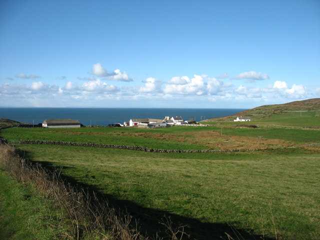
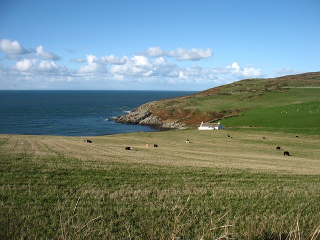
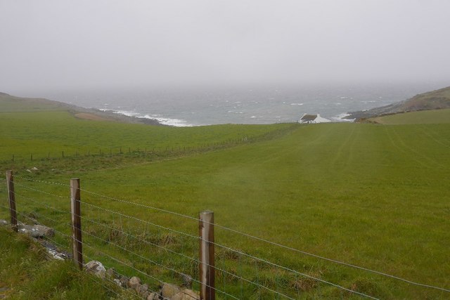
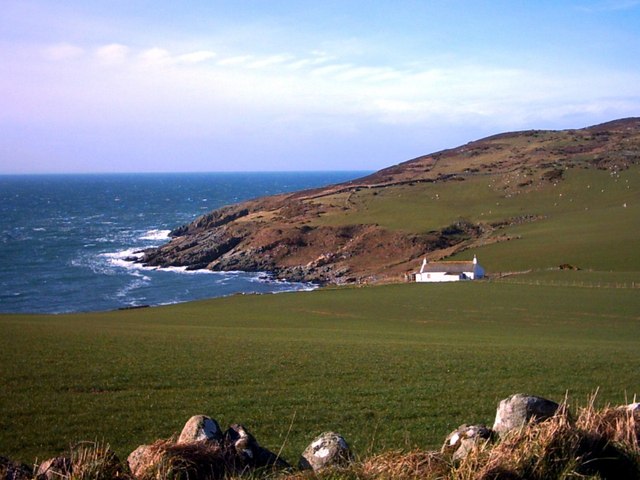
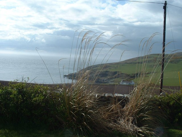
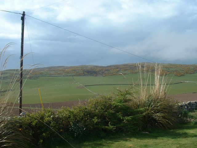
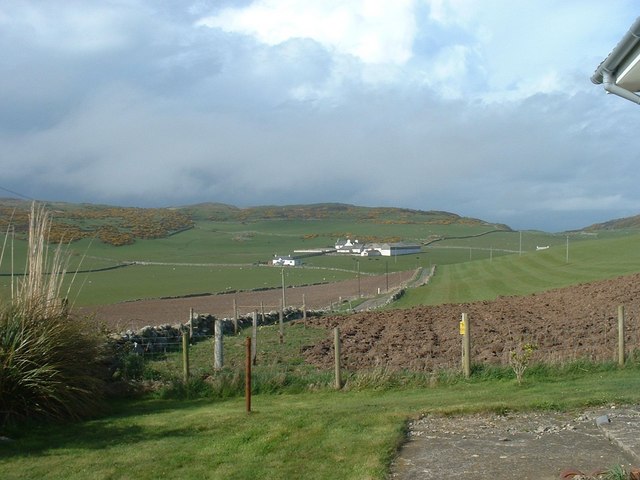
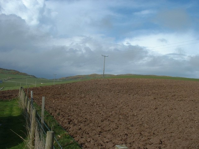
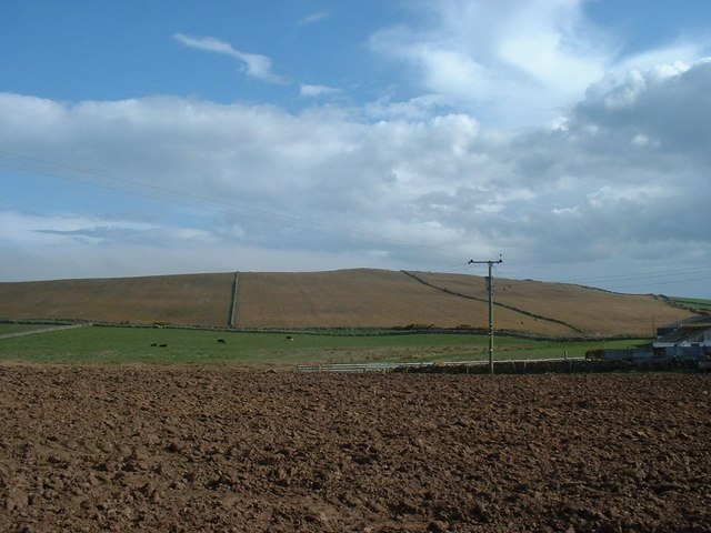
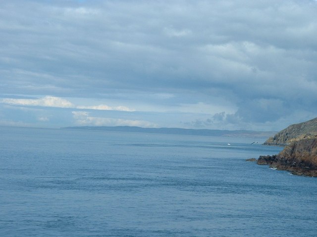
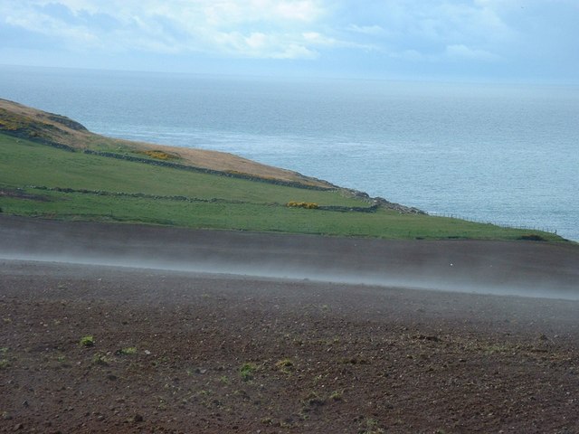
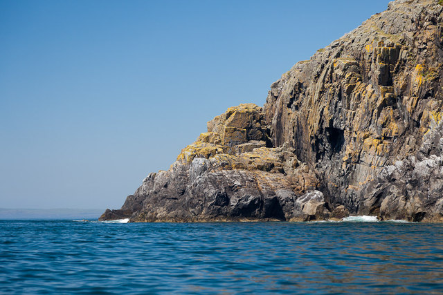
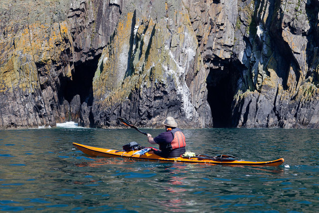
Breddock Hill offers breathtaking views of the surrounding countryside, with its slopes covered in lush vegetation, including heather and grasses. The hill is a popular destination for hikers and nature enthusiasts, who are drawn to its natural beauty and tranquility. The summit provides a vantage point to observe the picturesque landscape, encompassing rolling hills, farmland, and the distant coastline.
The hill is part of a larger area of natural beauty, featuring diverse wildlife and habitats. It is home to various bird species, including peregrine falcons, buzzards, and kestrels, making it a haven for birdwatchers. Additionally, small mammals such as rabbits, voles, and deer are known to inhabit the hillside.
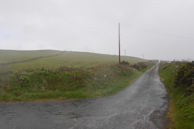
Breddock Hill is easily accessible, with several footpaths leading to the summit. These paths cater to different levels of difficulty, making it suitable for both experienced hikers and casual walkers. The hill's proximity to the village of Kirkcowan ensures that visitors have convenient access to amenities and services.
Overall, Breddock Hill is a stunning natural feature that offers visitors the opportunity to immerse themselves in the scenic beauty and tranquility of Wigtownshire's countryside. Whether for a challenging hike or a leisurely stroll, this hill provides a memorable experience for all who venture to its summit.
If you have any feedback on the listing, please let us know in the comments section below.
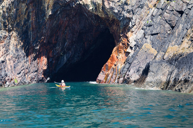
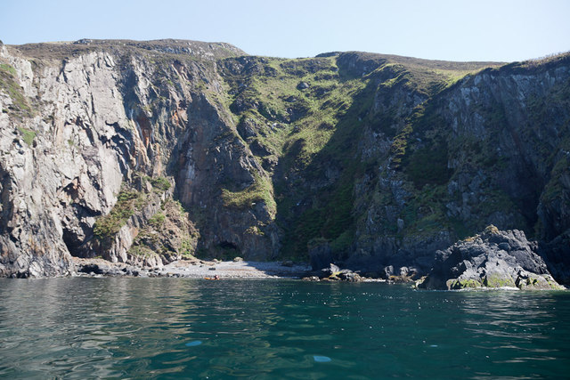
Breddock Hill Images
Images are sourced within 2km of 54.690194/-4.9617913 or Grid Reference NX0936. Thanks to Geograph Open Source API. All images are credited.
Breddock Hill is located at Grid Ref: NX0936 (Lat: 54.690194, Lng: -4.9617913)
Unitary Authority: Dumfries and Galloway
Police Authority: Dumfries and Galloway
What 3 Words
///trim.replaying.gradually. Near Drummore, Dumfries & Galloway
Nearby Locations
Related Wikis

Kirkmaiden (village)
Kirkmaiden (sometimes Maidenkirk; Scottish Gaelic: Cill M'Eudan) is a small settlement in Galloway, Scotland, located approximately 17 miles (27 km) south...
Kirkmaiden
Kirkmaiden is a parish in the Rhins of Galloway, the most southerly in Scotland; the present Church of Scotland parish has the same name as and is approximately...

Port Logan
Port Logan, formerly Port Nessock, is a small village in the parish of Kirkmaiden in the Rhins of Galloway in Wigtownshire. The Gaelic name is Port Neasaig...
Drummore
Drummore (drum-ORE; (from Gaelic An Druim Mòr meaning "the great ridge") is the southernmost village in Scotland, located at the southern end of the Rhins...
Cairngaan
Cairngaan, Wigtownshire, is the southmost settlement in Scotland. The hamlet of Cairngaan lies just north of the Mull of Galloway (which contains Scotland...

Logan Botanic Garden
Logan Botanic Garden is a botanical garden near Port Logan on the Rhins of Galloway, at the south-western tip of Scotland. The Botanic Garden was established...

Doon Castle Broch
Doon Castle Broch is an iron-age broch located in Dumfries and Galloway, Scotland (grid reference NX 06702 44683). == Location == The Broch is located...
Ardwell
Ardwell (from Gaelic Àrd Bhaile meaning "high town", pronounced as "Ardwell") is a village in the Scottish unitary council area of Dumfries and Galloway...
Nearby Amenities
Located within 500m of 54.690194,-4.9617913Have you been to Breddock Hill?
Leave your review of Breddock Hill below (or comments, questions and feedback).