Carnedd Meibion-Owen

Hill, Mountain in Pembrokeshire

Wales

Carnedd Meibion-Owen

Mountain ponies on Waun Mawn The peak to the left is Carn Ingli about 2.5 miles away, with Newport Bay barely visible through the mist.
Mountain ponies on Waun Mawn Credit: Alan Hughes

Carnedd Meibion-Owen is a prominent hill located in Pembrokeshire, Wales. It is part of the Preseli Hills range, which is known for its rugged and picturesque landscapes. Standing at an elevation of 422 meters (1,385 feet), Carnedd Meibion-Owen offers breathtaking views of the surrounding countryside, including the Preseli Mountains and the Pembrokeshire Coast National Park.

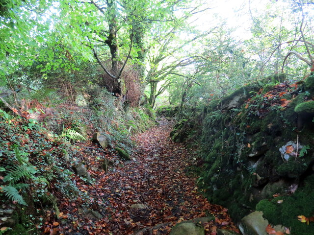
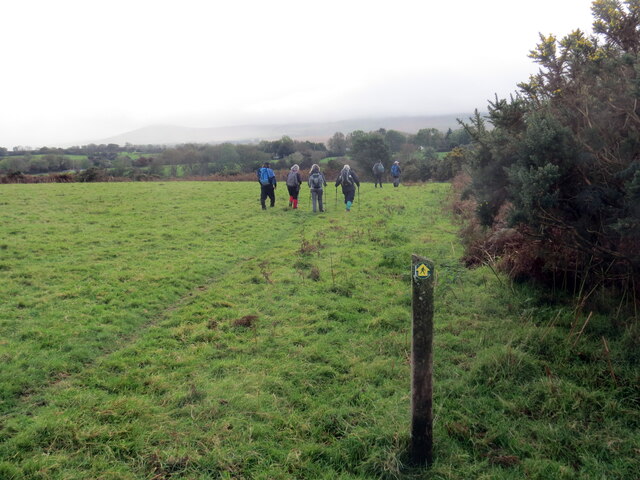
The hill is named after the Welsh poet, Meibion Owen, who was renowned for his verses about the natural beauty of the region. It is a popular destination for hikers and outdoor enthusiasts due to its accessibility and stunning vistas. The hike to the summit of Carnedd Meibion-Owen is relatively moderate, with a well-marked trail that winds through heather-covered moorland and rocky outcrops.

The area surrounding Carnedd Meibion-Owen is rich in archaeological sites, including Neolithic burial chambers and standing stones. These ancient remnants add to the allure of the hill, providing a glimpse into the region's prehistoric past. Visitors can explore these historical sites while taking in the panoramic views from the summit.

Wildlife enthusiasts will also find plenty to admire on Carnedd Meibion-Owen. The hill is home to a variety of bird species, including red kites, peregrine falcons, and skylarks. Lucky hikers may even catch a glimpse of wild ponies grazing on the hillside.

In conclusion, Carnedd Meibion-Owen is a captivating hill in Pembrokeshire, offering a combination of natural beauty, archaeological significance, and diverse wildlife. Whether you are an avid hiker, history buff, or nature lover, this hill is sure to impress with its stunning landscapes and fascinating heritage.

If you have any feedback on the listing, please let us know in the comments section below.

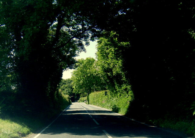
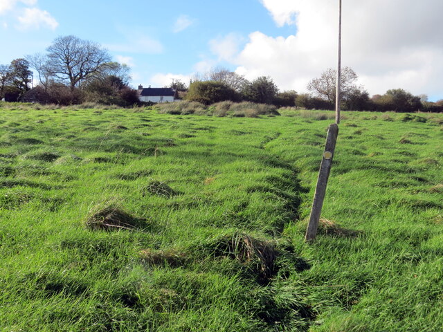
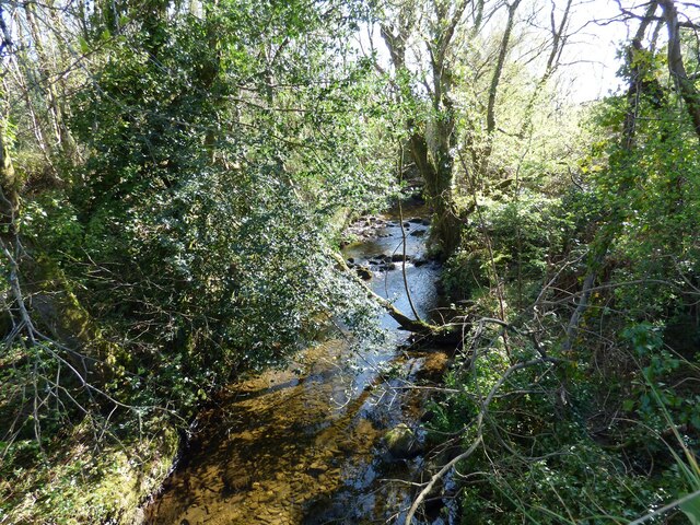
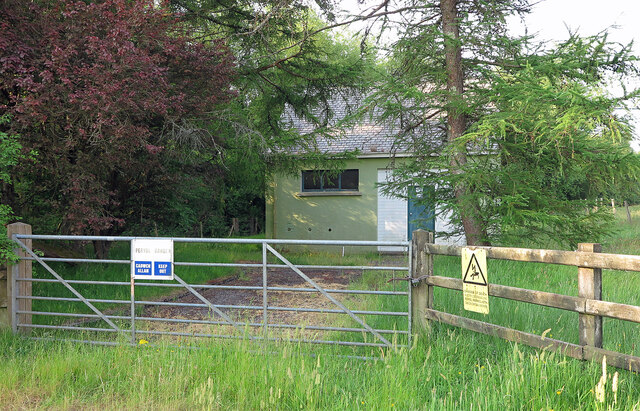
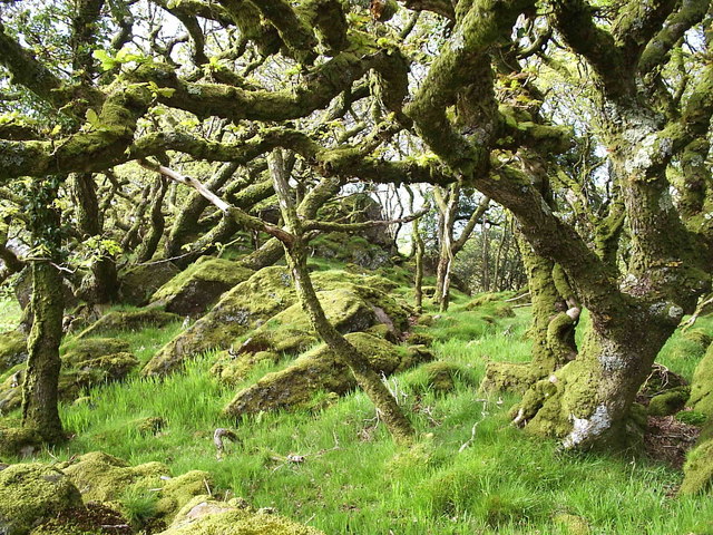
Carnedd Meibion-Owen Images

Images are sourced within 2km of 51.991618/-4.7831919 or Grid Reference SN0936. Thanks to Geograph Open Source API. All images are credited.

Mountain ponies on Waun Mawn The peak to the left is Carn Ingli about 2.5 miles away, with Newport Bay barely visible through the mist.
Mountain ponies on Waun Mawn
The peak to the left is Carn Ingli about 2.5 miles away, with Newport Bay barely visible through the mist.
Pentre Ifan stones Dating back 5000 years, these stones were at the centre of a larger monument. The cap-stone weighs 16 tonnes. It's apparently uncertain what it might have been for.
Pentre Ifan stones
Dating back 5000 years, these stones were at the centre of a larger monument. The cap-stone weighs 16 tonnes. It's apparently uncertain what it might have been for.
B4329 west of Brynberian
Llwybr Penparce / Penparce path Llwybr troed cyhoeddus yn mynd i gyfeiriad anhedd-dy o'r ene Penparce.

A public footpath heading in the direction of a property known as Penparce (trans. top of the fields).
Llwybr Penparce / Penparce path
Llwybr troed cyhoeddus yn mynd i gyfeiriad anhedd-dy o'r ene Penparce. A public footpath heading in the direction of a property known as Penparce (trans. top of the fields).
About Tŷ Canol and Hagr-y-Coed Upon exiting one of the many holloways.
About Tŷ Canol and Hagr-y-Coed
Upon exiting one of the many holloways.
Pentre Ifan Burial Chamber
Afon Brynberian View upstream from bridge on the B4329.
Afon Brynberian
View upstream from bridge on the B4329.
Penwern, near Pentre Ifan stones
Brynberian Pumping Station Water pumping station beside the Brynberian Brook.
Brynberian Pumping Station
Water pumping station beside the Brynberian Brook.
Llwybr ceffyl Feidr Ddwr / Feidr Ddwr bridleway Llwybr ceffyl hynafol wrth ei olwg a elwir Feidr Ddwr.

An ancient looking bridleway known as Feidr Ddwr (trans. water lane).
Llwybr ceffyl Feidr Ddwr / Feidr Ddwr bridleway
Llwybr ceffyl hynafol wrth ei olwg a elwir Feidr Ddwr. An ancient looking bridleway known as Feidr Ddwr (trans. water lane).
Llwybr ger Pen-rhiwlas / Path near Pen-rhiwlas Cerddwyr yn dilyn llwybr troed cyhoeddus ger anhedd-dy o'r enw Pen-rhiwlas.

Walkers following a footpath near  a property known as Pen-rhiwlas (trans. top of the green hill).
Llwybr ger Pen-rhiwlas / Path near Pen-rhiwlas
Cerddwyr yn dilyn llwybr troed cyhoeddus ger anhedd-dy o'r enw Pen-rhiwlas. Walkers following a footpath near a property known as Pen-rhiwlas (trans. top of the green hill).
Sticil ger Pen-feidr-coedlan / Stile near Pen-feidr-coedlan Sticil ger Pen-feidr-coedlan gyda Mynydd y Preseli yn y pellter pell.

Stile near Pen-feidr-coedlan (trans. top of the copse lane) with Preseli Mountain in the far distance.
Sticil ger Pen-feidr-coedlan / Stile near Pen-feidr-coedlan
Sticil ger Pen-feidr-coedlan gyda Mynydd y Preseli yn y pellter pell. Stile near Pen-feidr-coedlan (trans. top of the copse lane) with Preseli Mountain in the far distance.
Corner of road at Brynberian The B4329 comes down a hill, left out of shot, and turns at the junction of a signposted minor road to Brynberian and a prehistoric burial chamber.
Corner of road at Brynberian
The B4329 comes down a hill, left out of shot, and turns at the junction of a signposted minor road to Brynberian and a prehistoric burial chamber.
Road near Pentre Ifan The lane has limited parking considering the amazing burial chamber here - but it is off the beaten track.
Road near Pentre Ifan
The lane has limited parking considering the amazing burial chamber here - but it is off the beaten track.
Pont Brynberian Translates as 'the bridge at Berian's Hill'
Pont Brynberian
Translates as 'the bridge at Berian's Hill'
Footpath to Pentre Ifan
View from Footpath to Pentre Ifan
Sign to Pentre Ifan burial chamber
Show me another place!

Carnedd Meibion-Owen is located at Grid Ref: SN0936 (Lat: 51.991618, Lng: -4.7831919)

Unitary Authority: Pembrokeshire

Police Authority: Dyfed Powys

What 3 Words

///dice.footsteps.masses. Near Nevern, Pembrokeshire

Nearby Locations

Carnedd Meibion-Owen

Related Wikis

Tŷ Canol National Nature Reserve

Tŷ Canol National Nature Reserve is a national nature reserve which lies south of the village of Felindre Farchog, Pembrokeshire, Wales, between the Preseli...

Tŷ Canol Wood

Tŷ Canol Woods are an ancient woodland in the Tŷ Canol National Nature Reserve which lies south of the village of Felindre Farchog, Pembrokeshire, Wales...

Pentre Ifan

Pentre Ifan (literally "Ivan's Village") is the name of an ancient manor in the community and parish of Nevern, Pembrokeshire, Wales. It is 11 miles...
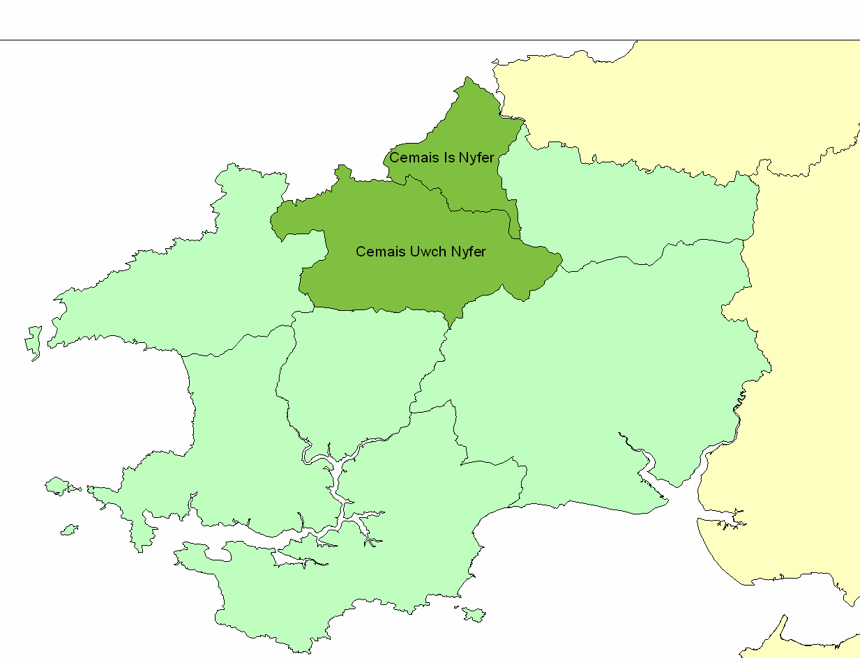
Cemais (Dyfed)

Cemais (sometimes spelled Kemes after one of the several variations found in Medieval orthography) was an ancient cantref of the Kingdom of Dyfed, from...

Nearby Amenities

Located within 500m of 51.991618,-4.7831919
Man Made: monitoring_station
Monitoring Weather: yes
Lat/Long: 51.9937129/-4.7789763
The data included in this document is from www.openstreetmap.org. The data is made available under ODbL.

Have you been to Carnedd Meibion-Owen?

Leave your review of Carnedd Meibion-Owen below (or comments, questions and feedback).