Barnshangan Hill

Hill, Mountain in Wigtownshire

Scotland

Barnshangan Hill

Snow on the shore and lying on the sea at Sandhead A heavy snow shower fell on the sand when the tide was out. The incoming tide lifted the snow on top of the water. A rare sight for somewhere that gets snow about once every two or three years.
Snow on the shore and lying on the sea at Sandhead Credit: Colin McDonald

Barnshangan Hill, located in Wigtownshire, is a prominent hill in southwest Scotland. Rising to an elevation of approximately 236 meters (774 feet), it dominates the surrounding landscape and offers stunning panoramic views of the picturesque countryside. Situated near the small village of Glasserton, the hill is a well-known landmark in the area.

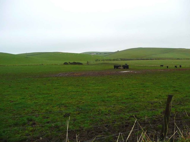
Barnshangan Hill is characterized by its gently sloping grassy slopes, which are interspersed with scattered trees and shrubs. The hill is primarily composed of sedimentary rock, with layers of sandstone and shale visible in various sections. The diverse flora and fauna found on the hill make it a popular destination for nature enthusiasts and hikers.

At the summit of Barnshangan Hill, visitors can enjoy breathtaking vistas of the surrounding countryside, including the rolling hills and fertile farmland that stretch out for miles. On clear days, it is even possible to catch a glimpse of the distant Galloway Hills to the north. The hilltop is also home to a small cairn, which serves as a marker and adds historical interest to the site.

Access to Barnshangan Hill is relatively easy, with a network of well-maintained footpaths and trails leading to the summit. These paths are suitable for walkers of all abilities and provide an opportunity to explore the hill's natural beauty at a leisurely pace. Additionally, the hill is a popular spot for paragliding and offers a thrilling experience for adventure seekers.

Overall, Barnshangan Hill in Wigtownshire is a striking natural feature that showcases the scenic beauty of southwest Scotland. Its accessibility, diverse flora and fauna, and stunning views make it an appealing destination for both locals and tourists alike.

If you have any feedback on the listing, please let us know in the comments section below.

Barnshangan Hill Images

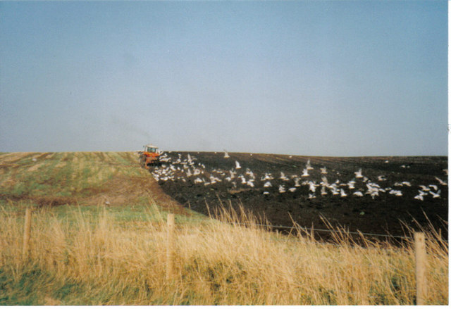
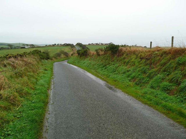
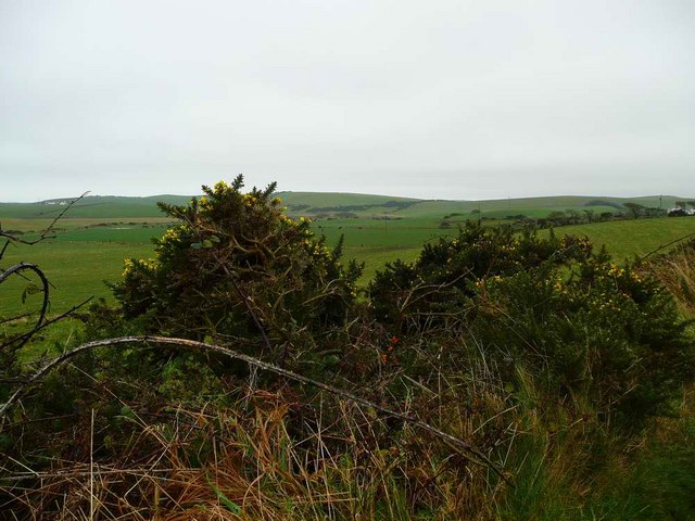
Images are sourced within 2km of 54.799974/-4.9824567 or Grid Reference NX0849. Thanks to Geograph Open Source API. All images are credited.

Snow on the shore and lying on the sea at Sandhead A heavy snow shower fell on the sand when the tide was out. The incoming tide lifted the snow on top of the water. A rare sight for somewhere that gets snow about once every two or three years.
Snow on the shore and lying on the sea at Sandhead
A heavy snow shower fell on the sand when the tide was out. The incoming tide lifted the snow on top of the water. A rare sight for somewhere that gets snow about once every two or three years.
Shoreline, Sandhead bay This shore is at the south end of Sandhead Bay - part of Luce Bay
Shoreline, Sandhead bay
This shore is at the south end of Sandhead Bay - part of Luce Bay
Kirkmadrine Church (disused) This disused church is only just in this square located at NX080484. Housed in the old entrance to the church are some of the earliest Christian sculptured stones some of which date back to the 5th century.
Kirkmadrine Church (disused)
This disused church is only just in this square located at NX080484. Housed in the old entrance to the church are some of the earliest Christian sculptured stones some of which date back to the 5th century.
Sandhead Village, about 8 miles South of Stranraer The village of Sandhead photographed on a dull Autumn day from the beach at low tide.
Sandhead Village, about 8 miles South of Stranraer
The village of Sandhead photographed on a dull Autumn day from the beach at low tide.
Kirkmadrine Church Probably the site of a monastery in the early Christian period and later of a medieval parish church, built as a burial chapel in the late 19th Century by Lady McTaggart Stewart of Ardwell.
Kirkmadrine Church
Probably the site of a monastery in the early Christian period and later of a medieval parish church, built as a burial chapel in the late 19th Century by Lady McTaggart Stewart of Ardwell.
Cross in Kirkmadrine Churchyard
Sandhead beach Looking north east.
Sandhead beach
Looking north east.
Sandhead beach Looking south.
Sandhead beach
Looking south.
Kirkmadrine Church This is no longer used as a church but it is the site of an early Christian community. The Kirkmadrine Stones are fine sculptured stones from the 5th century. They are displayed in a glass-fronted porch at the west of the church.
Kirkmadrine Church
This is no longer used as a church but it is the site of an early Christian community. The Kirkmadrine Stones are fine sculptured stones from the 5th century. They are displayed in a glass-fronted porch at the west of the church.
Church Porch, Kirkmadrine This is a glassed porch which contains early Christian stones [5th century]
Church Porch, Kirkmadrine
This is a glassed porch which contains early Christian stones [5th century]
Field -gulls following the plough After harvesting, the stubble is being ploughed in. This is on an unclassified road near Sandhead, between Balgreggan and Cairngarroch farms.
Field -gulls following the plough
After harvesting, the stubble is being ploughed in. This is on an unclassified road near Sandhead, between Balgreggan and Cairngarroch farms.
Playground at Sandhead The main part of the village is on a raised beach. The old sea cliff can be seen behind.
Playground at Sandhead
The main part of the village is on a raised beach. The old sea cliff can be seen behind.
Looking towards Meikle Float
Low lying land near Meikle Float And the gorse in bloom in late November.
Low lying land near Meikle Float
And the gorse in bloom in late November.
Rough grazing near Auchentibbert
Stoneykirk Old Manse, Sandhead Old manse for the now disused Stoneykirk Free Church (in trees behind manse); both date from 1844. The buildings actually stand to the south of Sandhead at Lake Cottage junction.
Stoneykirk Old Manse, Sandhead
Old manse for the now disused Stoneykirk Free Church (in trees behind manse); both date from 1844. The buildings actually stand to the south of Sandhead at Lake Cottage junction.
Kirkmadrine Stones The 5th century Kirkmadrine Christian sculptured stones are displayed in the glass-fronted west porch of Kirkmadrine Church; they are under the care of Historic Scotland.
Kirkmadrine Stones
The 5th century Kirkmadrine Christian sculptured stones are displayed in the glass-fronted west porch of Kirkmadrine Church; they are under the care of Historic Scotland.
Toskerton Kirk Road Upper part of track (former Kirk Road) that originally led to the medieval Toskerton Parish Church, it was rebuilt on by Kirkmadrine Church <a href="https://www.geograph.org.uk/gridref/NX0848">NX0848</a>.
Toskerton Kirk Road
Upper part of track (former Kirk Road) that originally led to the medieval Toskerton Parish Church, it was rebuilt on by Kirkmadrine Church NX0848.
Show me another place!

Barnshangan Hill is located at Grid Ref: NX0849 (Lat: 54.799974, Lng: -4.9824567)

Unitary Authority: Dumfries and Galloway

Police Authority: Dumfries and Galloway

What 3 Words

///subtitle.motels.moment. Near Stranraer, Dumfries & Galloway

Related Wikis

Sandhead

Sandhead is a small village in Dumfries and Galloway, south west Scotland. It overlooks Luce Bay, 7 miles south of Stranraer. The old main road, named...

Clachanmore

Clachanmore is a village in the South Rhins of Galloway near Ardwell in the south west of Scotland. It has also been known as Low Ardwell. The name of...

Stoneykirk

Stoneykirk (Scottish Gaelic: Eaglais Steafain) is an area and a village in the heart of the Rhins of Galloway, Wigtownshire, in the administrative council...

Ardwell

Ardwell (from Gaelic Àrd Bhaile meaning "high town", pronounced as "Ardwell") is a village in the Scottish unitary council area of Dumfries and Galloway...

Nearby Amenities

Located within 500m of 54.799974,-4.9824567
Cairn Hill
Place: locality
Lat/Long: 54.798304/-4.9790616
Cairnweil Hill
Place: locality
Lat/Long: 54.8000003/-4.9748085
Power: pole
Lat/Long: 54.7963432/-4.9788237
Power: pole
Lat/Long: 54.796954/-4.9788719
Power: pole
Lat/Long: 54.7975941/-4.9789283
Power: pole
Lat/Long: 54.7981492/-4.97899
Power: pole
Lat/Long: 54.798862/-4.9790624
Power: pole
Lat/Long: 54.7994526/-4.9791026
Power: pole
Lat/Long: 54.7999304/-4.9785152
Power: pole
Lat/Long: 54.8005875/-4.9776569
Power: pole
Lat/Long: 54.8012523/-4.9767476
Power: pole
Lat/Long: 54.8020748/-4.9757043
Barnshangan Hill
Natural: peak
Lat/Long: 54.7999231/-4.9826064
Power: pole
Lat/Long: 54.7972652/-4.9767878
Power: pole
Lat/Long: 54.7970236/-4.9780412
Power: pole
Lat/Long: 54.7966892/-4.9797737
Power: pole
Lat/Long: 54.7966903/-4.9812153
Power: pole
Lat/Long: 54.7966892/-4.9826995
Power: pole
Lat/Long: 54.7966724/-4.9836366
Power: pole
Lat/Long: 54.7971724/-4.9847755
Power: pole
Lat/Long: 54.7975292/-4.9855962
Power: pole
Lat/Long: 54.7971701/-4.987094
Power: pole
Lat/Long: 54.7958895/-4.9829731
West Cairnweil
Place: farm
Lat/Long: 54.7977281/-4.9853094
South Cairnweil
Place: farm
Lat/Long: 54.7960368/-4.9811046
The data included in this document is from www.openstreetmap.org. The data is made available under ODbL.

Have you been to Barnshangan Hill?

Leave your review of Barnshangan Hill below (or comments, questions and feedback).