Cnoc Braonach

Hill, Mountain in Sutherland

Scotland

Cnoc Braonach

Footbridge and weir, River Inver Plenty of water here after wet weather in the NW Highlands. An elegant fishing hut is just visible through the trees on the other bank.
Footbridge and weir, River Inver Credit: Jim Barton

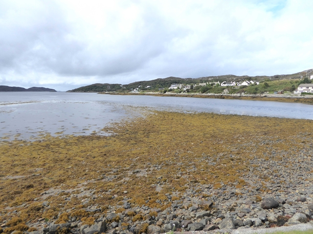
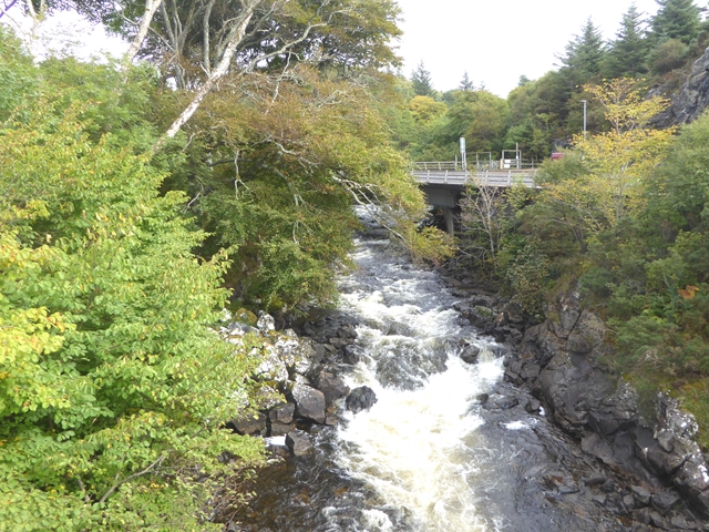
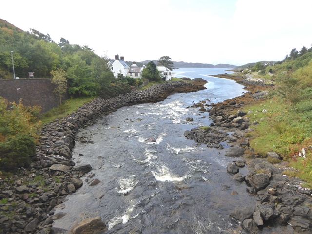
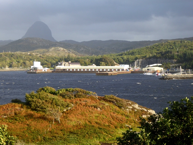
Cnoc Braonach, located in Sutherland, is a hill or mountain that stands at approximately 540 meters (1,770 feet) in height. It is situated in the northwest region of Scotland, within the broader area known as the Scottish Highlands. Cnoc Braonach is part of the larger group of peaks known as the Foinaven range.

The hill is characterized by its rugged and rocky terrain, with steep slopes and craggy outcrops that provide a challenging ascent for climbers and hikers. Its summit offers panoramic views of the surrounding landscape, including the nearby Loch Dionard and the surrounding hills and mountains, such as Arkle and Ben Stack.

Cnoc Braonach is a popular destination for outdoor enthusiasts, particularly those seeking to explore the wild and untouched beauty of the Scottish Highlands. It is often included in hiking and mountaineering routes that traverse the Foinaven range, providing a challenging and rewarding experience for experienced outdoor adventurers.

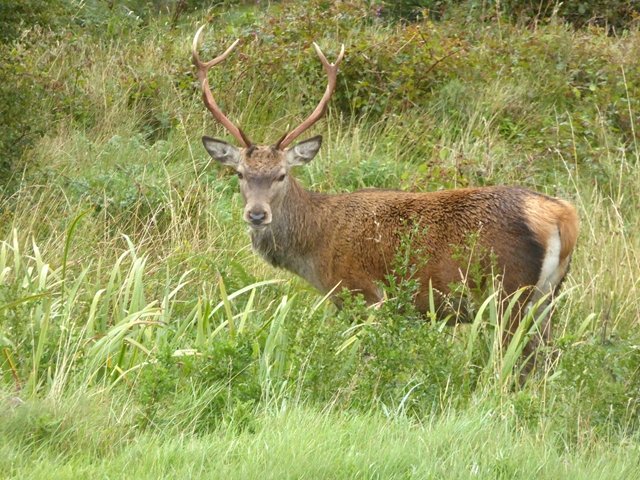
The hill is also home to a variety of flora and fauna, with heather and grasses covering its slopes, and occasional sightings of wildlife such as red deer and golden eagles. Its remote location and natural beauty make it an attractive destination for nature lovers and photographers.

While Cnoc Braonach may not be as well-known as some of the higher peaks in the Scottish Highlands, its rugged charm and stunning views make it a worthwhile destination for those seeking an authentic Highland experience.

If you have any feedback on the listing, please let us know in the comments section below.

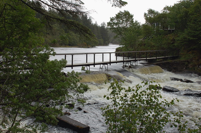
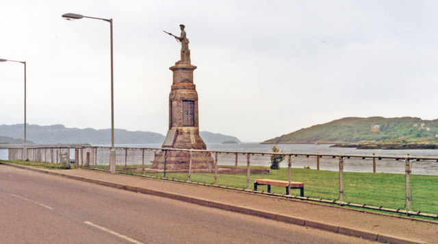
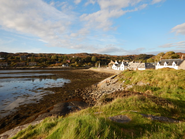
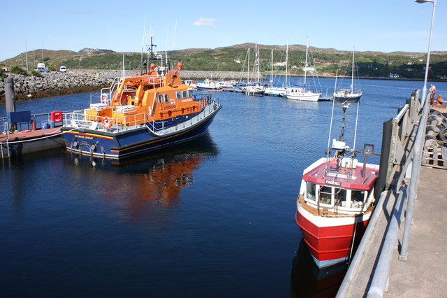
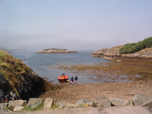
Cnoc Braonach Images

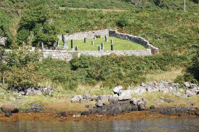
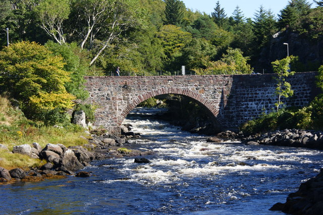
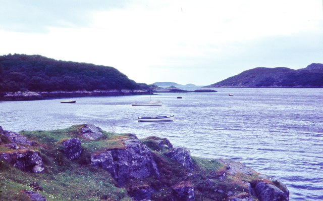
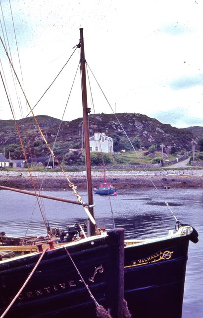
Images are sourced within 2km of 58.161479/-5.2589937 or Grid Reference NC0823. Thanks to Geograph Open Source API. All images are credited.

Footbridge and weir, River Inver Plenty of water here after wet weather in the NW Highlands. An elegant fishing hut is just visible through the trees on the other bank.
Footbridge and weir, River Inver
Plenty of water here after wet weather in the NW Highlands. An elegant fishing hut is just visible through the trees on the other bank.
Lochinver: War Memorial and SW towards the sea, 1994 The eponymous town, noted for its fishing, has no proper access except from the north, on the A837 from Ledmore along Loch Assynt and via Inchnadamph. The view is SW, to the sea about 2 1/2 miles away.
Lochinver: War Memorial and SW towards the sea, 1994
The eponymous town, noted for its fishing, has no proper access except from the north, on the A837 from Ledmore along Loch Assynt and via Inchnadamph. The view is SW, to the sea about 2 1/2 miles away.
Lochinver Coastal village on the River Inver.
Lochinver
Coastal village on the River Inver.
Yacht pontoon, Lochinver Harbour Looking northeast from the outer harbour wall with Lochinver in the background.
Yacht pontoon, Lochinver Harbour
Looking northeast from the outer harbour wall with Lochinver in the background.
The Lochinver lifeboat The lifeboat currently stationed at Lochinver is the all-weather Severn class 'Julian and Margaret Leonard'.
The Lochinver lifeboat
The lifeboat currently stationed at Lochinver is the all-weather Severn class 'Julian and Margaret Leonard'.
Lochinver Cemetery Looking north from the southern bank of river Inver.
Lochinver Cemetery
Looking north from the southern bank of river Inver.
Bridge over the river Inver Carrying the Baddidaroch Road over the river.
Bridge over the river Inver
Carrying the Baddidaroch Road over the river.
Looking west towards the open sea, Lochinver I am willing to accept a challenge on precise location of viewpoint
Looking west towards the open sea, Lochinver
I am willing to accept a challenge on precise location of viewpoint
Fishing vessels at Culag Pier, Lochinver
River Inver The last kilometre of the Inver is a turbulent one, the river running through a deep forested valley with several small falls and rapids.
River Inver
The last kilometre of the Inver is a turbulent one, the river running through a deep forested valley with several small falls and rapids.
Aird Ghlas Shoreline beyond the end of the road west of Lochinver harbour.  Off picture to the left is a large quarry which must have provided stone as foundations for the harbour extensions.
Aird Ghlas
Shoreline beyond the end of the road west of Lochinver harbour. Off picture to the left is a large quarry which must have provided stone as foundations for the harbour extensions.
Tidal spit at the head of Loch Inver The holiday houses of Baddidarach on the shore to the right.
Tidal spit at the head of Loch Inver
The holiday houses of Baddidarach on the shore to the right.
Mountview Pod Somewhere between a tent and a self-catering cottage, this humble pod in Baddidarach comes with the benefit of a hot tub at the front porch and enjoys a splendid view of Loch Inver.
Mountview Pod
Somewhere between a tent and a self-catering cottage, this humble pod in Baddidarach comes with the benefit of a hot tub at the front porch and enjoys a splendid view of Loch Inver.
Inver Terrace On Baddidarach Road.
Inver Terrace
On Baddidarach Road.
River Inver Looking upstream from the old bridge just above the beach. The new bridge which carries the A837 can be seen beyond.
River Inver
Looking upstream from the old bridge just above the beach. The new bridge which carries the A837 can be seen beyond.
Mouth of the River Inver Where it enters Loch Inver. Looking downstream from the old bridge.
Mouth of the River Inver
Where it enters Loch Inver. Looking downstream from the old bridge.
View across Loch Inver from Baddidarach In the middle distance is the Lochinver fish dock <a href="https://www.geograph.org.uk/gridref/NC0922">NC0922</a>. Dominating the horizon is the forbidding form of Suilven <a href="https://www.geograph.org.uk/gridref/NC1518">NC1518</a>.
View across Loch Inver from Baddidarach
In the middle distance is the Lochinver fish dock NC0922. Dominating the horizon is the forbidding form of Suilven NC1518.
Stag at Lochinver Can't imagine why the gentry spend their time stalking red deer in difficult terrain. This stag was grazing peacefully by the Community Centre car park in Lochinver village.
Stag at Lochinver
Can't imagine why the gentry spend their time stalking red deer in difficult terrain. This stag was grazing peacefully by the Community Centre car park in Lochinver village.
Show me another place!

Cnoc Braonach is located at Grid Ref: NC0823 (Lat: 58.161479, Lng: -5.2589937)

Unitary Authority: Highland

Police Authority: Highlands and Islands

What 3 Words

///treble.automatic.roost. Near Clachtoll, Highland

Related Wikis

Loch Inver

Loch Inver is a 3.62-kilometre-long (1+61⁄64-nautical-mile) sea loch in Assynt, Sutherland and is on the northwest coast of Scotland. The loch meets the...

Lochinver

Lochinver (Loch an Inbhir in Gaelic) is a village that is located at the head of the sea loch Loch Inver, on the coast in the Assynt district of Sutherland...

Strathan, Sutherland

Strathan is a remote scattered coastal village, located in Bàgh an t-strathain Bay, which lies on the south shore of the sea loch, Loch Inver, in the Assynt...

Badnaban

Badnaban is a remote scattered coastal village, which lies on the south shore of the sea loch, Loch Inver, in the Assynt district of the west coast of...

Nearby Amenities

Located within 500m of 58.161479,-5.2589937
Power: pole
Lat/Long: 58.1582495/-5.2559481
Power: pole
Lat/Long: 58.1579188/-5.2564874
Power: pole
Lat/Long: 58.157586/-5.2570305
The data included in this document is from www.openstreetmap.org. The data is made available under ODbL.

Have you been to Cnoc Braonach?

Leave your review of Cnoc Braonach below (or comments, questions and feedback).