Barn Hill

Hill, Mountain in Wigtownshire

Scotland

Barn Hill

Ardwell Church
Ardwell Church Credit: David Medcalf

Barn Hill is a prominent hill located in the region of Wigtownshire, southwest Scotland. It stands at an elevation of approximately 237 meters (778 feet) above sea level, making it a notable landmark in the area. The hill is situated near the village of Kirkcowan, about 10 miles north of Wigtown, the county town of Wigtownshire.

Barn Hill is characterized by its rounded shape and gentle slopes, covered in lush greenery. It is primarily composed of sedimentary rocks, including sandstone and shale. The hill offers stunning panoramic views of the surrounding countryside, with its summit providing an excellent vantage point to observe the picturesque landscapes of Wigtownshire.

The hill is accessible via various footpaths and trails, attracting outdoor enthusiasts who enjoy hiking, walking, and birdwatching. Its diverse flora and fauna make it an ideal habitat for various bird species, including buzzards, kestrels, and peregrine falcons.

Barn Hill has historical significance as well. It is home to an ancient fortification, known as a hillfort, which dates back to the Iron Age. The remains of the hillfort can still be seen today, with its earthworks and ditches providing glimpses into the past.

Overall, Barn Hill is a remarkable natural feature in Wigtownshire, offering a combination of natural beauty, recreational opportunities, and historical significance. Its accessibility and scenic views make it a popular destination for both locals and visitors seeking an outdoor adventure in this picturesque part of Scotland.

If you have any feedback on the listing, please let us know in the comments section below.
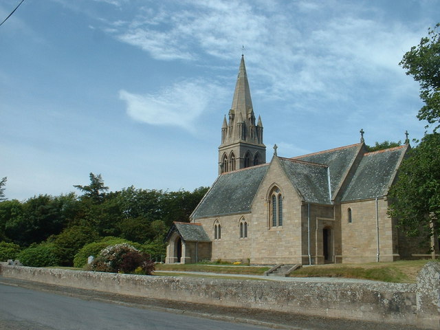
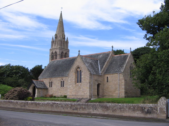
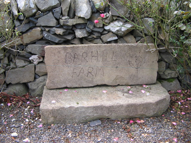
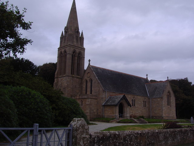
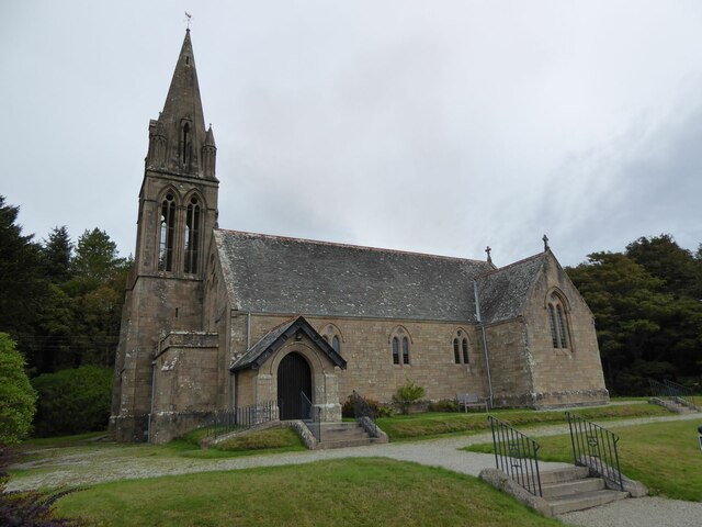
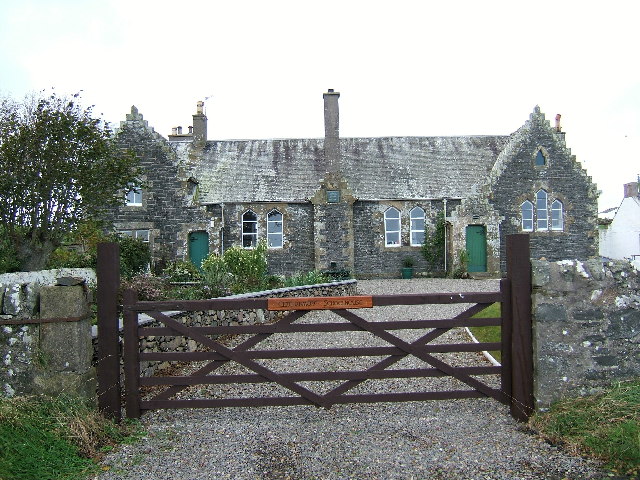
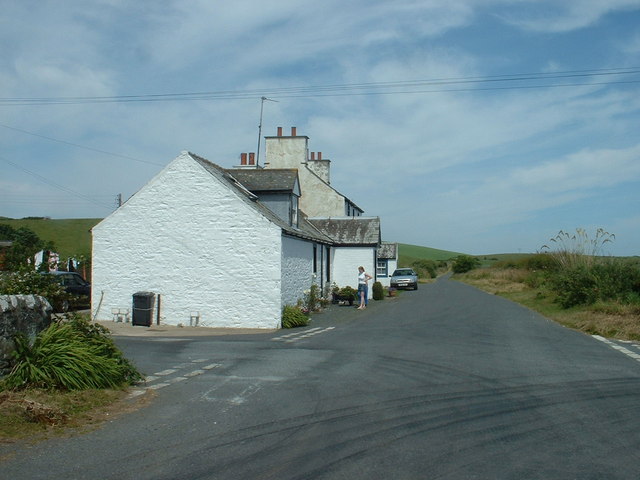
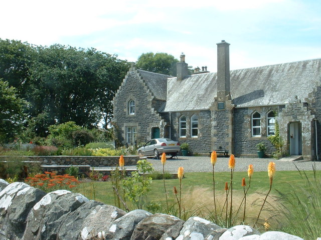
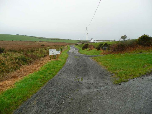
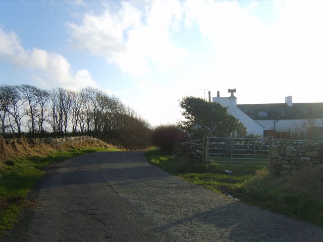
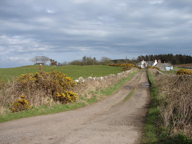
Barn Hill Images

Images are sourced within 2km of 54.773333/-4.9832476 or Grid Reference NX0846. Thanks to Geograph Open Source API. All images are credited.

Ardwell Church
Ardwell Church
Lane near Ardwell Church On the opposite side of the road, running south.
Lane near Ardwell Church
On the opposite side of the road, running south.
Ardwell Church
Ardwell Church
Carved farm sign for Barhill farm
Ardwell Church - Church of Scotland. Ardwell Church of Scotland church.  The photograph was taken on a thundery day.
Ardwell Church - Church of Scotland.
Ardwell Church of Scotland church. The photograph was taken on a thundery day.
Ardwell Community Kirk  Ardwell Community Kirk is a beautiful Edwardian sandstone building in the small village of Ardwell.
After the Church of Scotland ceased holding services at Ardwell, a decision was taken in 2015 to form a Trust and continue to use the building for religious and non-religious services, weddings, funerals and community events.
Ardwell Community Kirk
Ardwell Community Kirk is a beautiful Edwardian sandstone building in the small village of Ardwell. After the Church of Scotland ceased holding services at Ardwell, a decision was taken in 2015 to form a Trust and continue to use the building for religious and non-religious services, weddings, funerals and community events.
Oyster catchers on Ardwell Bay nx070450 Ardwell bay, looking ENE across the bay, Oyster Catchers can be seen looking for a late lunch we were waiting to eat ours as well....
Oyster catchers on Ardwell Bay nx070450
Ardwell bay, looking ENE across the bay, Oyster Catchers can be seen looking for a late lunch we were waiting to eat ours as well....
The old schoolhouse at Clachanmore, Ardwell. The old schoolhouse situated at Clachanmore crossroads near Ardwell is the former schoolhouse for Ardwell. It was recently used as an Art gallery, but has since closed and is now a private house.
The old schoolhouse at Clachanmore, Ardwell.
The old schoolhouse situated at Clachanmore crossroads near Ardwell is the former schoolhouse for Ardwell. It was recently used as an Art gallery, but has since closed and is now a private house.
Ardwell Bay (or High Ardwell Bay as the locals call it). Ardwell Bay on the west side if the Rhins of Galloway peninsula facing onto the Irish Sea with good views to Northern Ireland on a clear day.
Ardwell Bay (or High Ardwell Bay as the locals call it).
Ardwell Bay on the west side if the Rhins of Galloway peninsula facing onto the Irish Sea with good views to Northern Ireland on a clear day.
Cottages near the old school
Another view of the old school at Ardwell
West Ringuinea roadend The farm itself in the distance.
West Ringuinea roadend
The farm itself in the distance.
Salt Pan Cottage This cottage was where salt was obtained by the evaporation of sea water
Salt Pan Cottage
This cottage was where salt was obtained by the evaporation of sea water
Farmhouse and Bones Plantation Rhins farmhouse on quiet country road
Farmhouse and Bones Plantation
Rhins farmhouse on quiet country road
Whitewashed Cottages on Quiet lane Two typical one storey cottages facing each other on a deserted country lane leading to the sea
Whitewashed Cottages on Quiet lane
Two typical one storey cottages facing each other on a deserted country lane leading to the sea
Quiet lane leading to whitewashed cottage
Killaser Castle, Cairnhandy The remains of a rectangular tower-house stand within a ditched enclosure southeast of Cairnhandy farm. Earliest date listed was 1684.
Killaser Castle, Cairnhandy
The remains of a rectangular tower-house stand within a ditched enclosure southeast of Cairnhandy farm. Earliest date listed was 1684.
Glenhie Smithy Track off the Clachanmore-Sandhead road leading to Glenhie Smithy, Smithy Cottage, and in the trees Glenhie Smithy Croft.
Glenhie Smithy
Track off the Clachanmore-Sandhead road leading to Glenhie Smithy, Smithy Cottage, and in the trees Glenhie Smithy Croft.
Show me another place!

Barn Hill is located at Grid Ref: NX0846 (Lat: 54.773333, Lng: -4.9832476)

Unitary Authority: Dumfries and Galloway

Police Authority: Dumfries and Galloway

What 3 Words

///clockwork.flap.nowadays. Near Drummore, Dumfries & Galloway

Nearby Locations

Barn Hill Clachanmore

Related Wikis

Clachanmore

Clachanmore is a village in the South Rhins of Galloway near Ardwell in the south west of Scotland. It has also been known as Low Ardwell.The name of the...

Doon Castle Broch

Doon Castle Broch is an iron-age broch located in Dumfries and Galloway, Scotland (grid reference NX 06702 44683). == Location == The Broch is located...

Ardwell

Ardwell (from Gaelic Àrd Bhaile meaning "high town", pronounced as "Ardwell") is a village in the Scottish unitary council area of Dumfries and Galloway...

Sandhead

Sandhead is a small village in Dumfries and Galloway, south west Scotland. It overlooks Luce Bay, 7 miles south of Stranraer. The old main road, named...

Logan Botanic Garden

Logan Botanic Garden is a botanical garden near Port Logan on the Rhins of Galloway, at the south-western tip of Scotland. The Botanic Garden was established...

Port Logan

Port Logan, formerly Port Nessock, is a small village in the parish of Kirkmaiden in the Rhins of Galloway in Wigtownshire. The Gaelic name is Port Neasaig...

Stoneykirk

Stoneykirk (Scottish Gaelic: Eaglais Steafain) is an area and a village in the heart of the Rhins of Galloway, Wigtownshire, in the administrative council...

Knockinaam Lodge

Knockinaam Lodge is a hotel and restaurant located about 3.5 miles South of Portpatrick, Dumfries & Galloway, Scotland. As of 2008, the restaurant holds...

Nearby Amenities

Located within 500m of 54.773333,-4.9832476
Place: farm
Lat/Long: 54.7770518/-4.9821095
Power: pole
Lat/Long: 54.7730577/-4.9759081
Power: pole
Lat/Long: 54.77374/-4.9762595
Power: pole
Lat/Long: 54.7744408/-4.9765974
Power: pole
Lat/Long: 54.775137/-4.9769971
Power: pole
Lat/Long: 54.7759229/-4.977048
Barn Hill
Natural: peak
Lat/Long: 54.7737488/-4.98266
Power: pole
Lat/Long: 54.7773732/-4.9845412
Power: pole
Lat/Long: 54.7766542/-4.9848769
Power: pole
Lat/Long: 54.7759501/-4.9852056
Power: pole
Lat/Long: 54.7751999/-4.9855554
Power: pole
Lat/Long: 54.7744687/-4.9858934
Power: pole
Lat/Long: 54.7737646/-4.9862197
Power: pole
Lat/Long: 54.7730171/-4.9865695
Power: pole
Lat/Long: 54.7723211/-4.9868959
Power: pole
Lat/Long: 54.7718715/-4.9871071
Power: pole
Lat/Long: 54.7713962/-4.9873255
Power: pole
Lat/Long: 54.7705633/-4.9877246
Power: pole
Lat/Long: 54.777556/-4.98298
Power: pole
Lat/Long: 54.7766772/-4.9856657
Power: pole
Lat/Long: 54.7767287/-4.9870156
Power: pole
Lat/Long: 54.7767557/-4.9877105
Power: pole
Lat/Long: 54.7705999/-4.9871377
Power: pole
Lat/Long: 54.7706717/-4.9863512
Power: pole
Lat/Long: 54.7707597/-4.9855272
The data included in this document is from www.openstreetmap.org. The data is made available under ODbL.

Have you been to Barn Hill?

Leave your review of Barn Hill below (or comments, questions and feedback).