High Woolaston

Settlement in Gloucestershire Forest of Dean

England

High Woolaston

A picnic area off the A48
A picnic area off the A48 Credit: Ian S

High Woolaston is a small village located in the county of Gloucestershire, England. Situated within the picturesque Forest of Dean district, it is nestled on the eastern bank of the River Severn, offering residents and visitors stunning views of the surrounding countryside.

The village has a rich history dating back centuries, with evidence of human habitation in the area from as early as the Roman period. Today, it retains much of its historical charm, with a number of traditional stone-built houses and buildings still standing.

Despite its small size, High Woolaston boasts a close-knit community and a range of amenities. The village is home to a primary school, providing education for local children, and a village hall that serves as a hub for social events and gatherings. Additionally, there is a village pub, offering a warm and friendly atmosphere for residents and visitors to relax and enjoy a drink or a meal.

The natural beauty of the area surrounding High Woolaston makes it a popular destination for outdoor enthusiasts. There are several walking and cycling trails that wind through the local countryside, providing opportunities to explore the stunning landscapes and observe the abundant wildlife.

Overall, High Woolaston is a charming and tranquil village, offering a peaceful escape from the hustle and bustle of city life. With its beautiful location, rich history, and strong sense of community, it is a place that truly captures the essence of rural Gloucestershire.

If you have any feedback on the listing, please let us know in the comments section below.

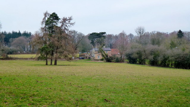
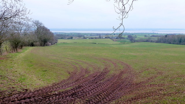
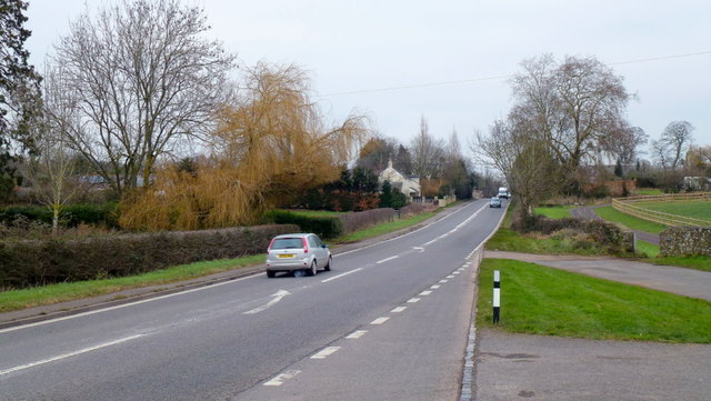
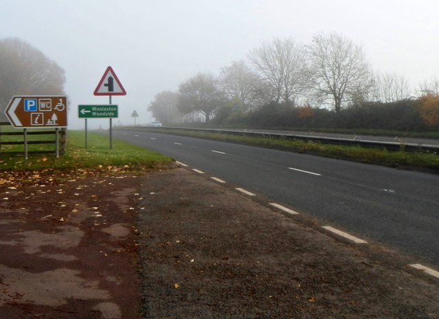
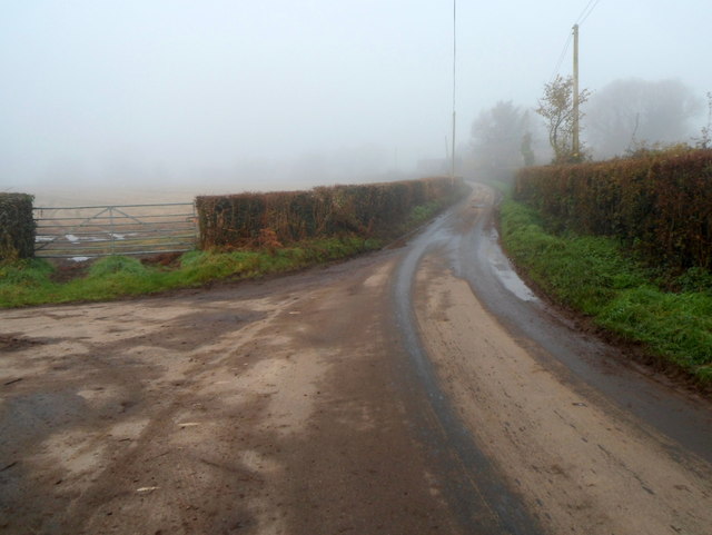
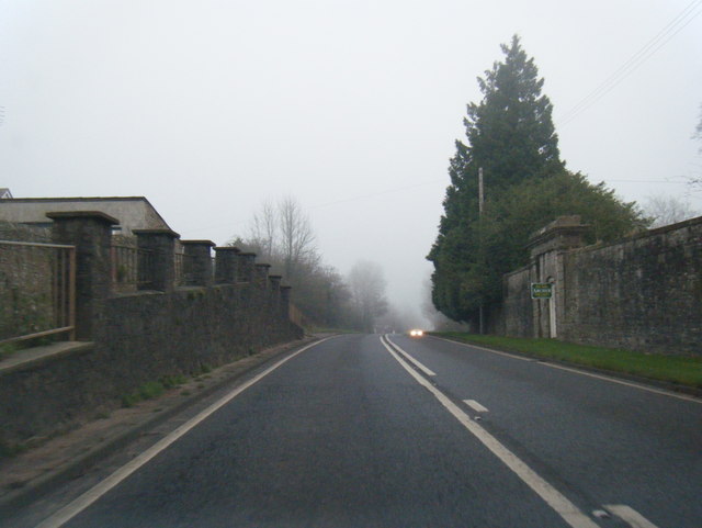
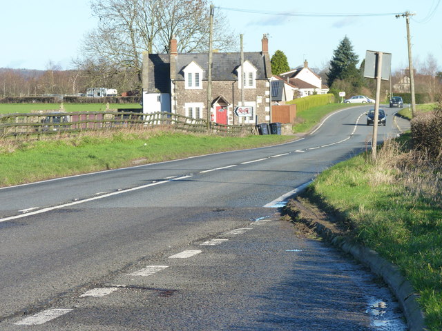
High Woolaston Images

Images are sourced within 2km of 51.692271/-2.609917 or Grid Reference ST5799. Thanks to Geograph Open Source API. All images are credited.

A picnic area off the A48
House at Park Hill View across pasture land with the backdrop of Burnt Plantation.
House at Park Hill
View across pasture land with the backdrop of Burnt Plantation.
Pastoral scene to the mighty Severn View from Park Hill Road over High Woolaston.
Pastoral scene to the mighty Severn
View from Park Hill Road over High Woolaston.
A48 at Stroat Looking north-east towards Lydney and Gloucester.
A48 at Stroat
Looking north-east towards Lydney and Gloucester.
Public toilets in a picnic and parking area near the A48, Woolaston There was an unexpected bank of fog in the Woolaston area on a November Sunday that was clear 
and sunny with bright blue skies elsewhere, hence the poor visibility in the background.
Public toilets in a picnic and parking area near the A48, Woolaston
There was an unexpected bank of fog in the Woolaston area on a November Sunday that was clear and sunny with bright blue skies elsewhere, hence the poor visibility in the background.
Entrance from the A48 to a picnic area, Woolaston Facilities in the picnic area include public toilets. <a title="https://www.geograph.org.uk/photo/3230301" href="https://www.geograph.org.uk/photo/3230301">Link</a>
Entrance from the A48 to a picnic area, Woolaston
Facilities in the picnic area include public toilets. Link
Church Lane, Woolaston On the left, a sign pointing to the sky shows CHURCH.
The sign should of course be interpreted as pointing ahead, towards this <a title="https://www.geograph.org.uk/photo/1899890" href="https://www.geograph.org.uk/photo/1899890">Link</a> church.
Church Lane, Woolaston
On the left, a sign pointing to the sky shows CHURCH. The sign should of course be interpreted as pointing ahead, towards this Link church.
Keynsham Lane, Woolaston Keynsham Lane heads towards Keynsham Farm. Out of shot on the left is Church Lane. <a title="https://www.geograph.org.uk/photo/3230351" href="https://www.geograph.org.uk/photo/3230351">Link</a>
Keynsham Lane, Woolaston
Keynsham Lane heads towards Keynsham Farm. Out of shot on the left is Church Lane. Link
Woolaston Inn and Gurkha Restaurant & Bar, Woolaston The Gurkha Restaurant & Bar is an addition since this view <a title="https://www.geograph.org.uk/photo/625390" href="https://www.geograph.org.uk/photo/625390">Link</a> taken 5 years earlier.
The location is alongside the A48 between Chepstow and Lydney.
Woolaston Inn and Gurkha Restaurant & Bar, Woolaston
The Gurkha Restaurant & Bar is an addition since this view Link taken 5 years earlier. The location is alongside the A48 between Chepstow and Lydney.
Kerrin Lane, Woolaston Kerrin Lane head SE away from the A48. The name sign on the wall shows that this  is not a through road.
Kerrin Lane, Woolaston
Kerrin Lane head SE away from the A48. The name sign on the wall shows that this is not a through road.
Left turn ahead for Netherend and Woolaston Common A view across the A48 from the corner of Kerrin Lane, Woolaston. <a title="https://www.geograph.org.uk/photo/3230581" href="https://www.geograph.org.uk/photo/3230581">Link</a>
Left turn ahead for Netherend and Woolaston Common
A view across the A48 from the corner of Kerrin Lane, Woolaston. Link
A48 at Stroat
A48 at Stroat
A48 at Ashwell Lodge
A48 at Woolaston village boundary
A48 at Brookend
A48 at Brookend
Farmland near Grange Pill Farmland near Grange Pill viewed from the train near Woolaston.
Farmland near Grange Pill
Farmland near Grange Pill viewed from the train near Woolaston.
Car dealers on A48 at the edge of Woolaston
The A48 looking towards Ashwell Lodge
Show me another place!

High Woolaston is located at Grid Ref: ST5799 (Lat: 51.692271, Lng: -2.609917)

Administrative County: Gloucestershire

District: Forest of Dean

Police Authority: Gloucestershire

What 3 Words

///maybe.patrol.juggled. Near Tintern, Monmouthshire

Related Wikis

Woolaston

Woolaston is a village and civil parish in the Forest of Dean district of Gloucestershire in South West England. It lies on the north side of the Severn...

Ridley Bottom, Tidenham

Ridley Bottom (grid reference ST563985) is a 1.1-hectare (2.7-acre) nature reserve in Gloucestershire. The site is listed in the 'Forest of Dean Local...

East Wood, Tidenham

East Wood (grid reference SO561001) (west site) and (grid reference SO563001) (east site) is a 0.82-hectare (2.0-acre) nature reserve in Gloucestershire...

Poor's Allotment

Poor's Allotment (grid reference ST560990) is a 28.57-hectare (70.6-acre) biological Site of Special Scientific Interest in Gloucestershire, notified in...

Miss Grace's Lane

Miss Grace's Lane (also known as Miss Grace's Lane Swallett), near Tidenham in the Forest of Dean, Gloucestershire, England, is a natural cave system,...

Alvington, Gloucestershire

Alvington is a village and civil parish in the Forest of Dean in Gloucestershire, England, situated on the A48 road, six miles north-east of Chepstow in...

Hewelsfield

Hewelsfield is a village in Hewelsfield and Brockweir civil parish, in the Forest of Dean district of Gloucestershire, England. The village is located...

Hewelsfield Motte

The Hewelsfield Motte is a roughly circular mound, in Hewelsfield, Gloucestershire, England. It is thought to be a castle motte dating from the period...

Nearby Amenities

Located within 500m of 51.692271,-2.609917
Barrier: stile
Lat/Long: 51.6912749/-2.6029655
Barrier: stile
Lat/Long: 51.6903544/-2.6055297
Barrier: stile
Lat/Long: 51.6927922/-2.605065
Barrier: stile
Lat/Long: 51.69044/-2.6053942
Barrier: stile
Lat/Long: 51.6910516/-2.6057196
Barrier: stile
Lat/Long: 51.6918079/-2.6068507
The data included in this document is from www.openstreetmap.org. The data is made available under ODbL.

Have you been to High Woolaston?

Leave your review of High Woolaston below (or comments, questions and feedback).