Barn Hill

Hill, Mountain in Wigtownshire

Scotland

Barn Hill

Kildonnan Cottages With cattle on the hill beyond.
Kildonnan Cottages Credit: Russel Wills

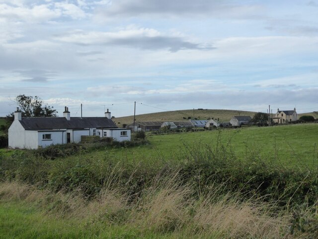
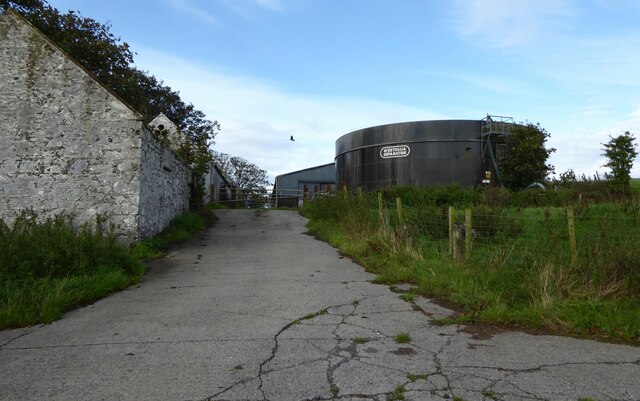
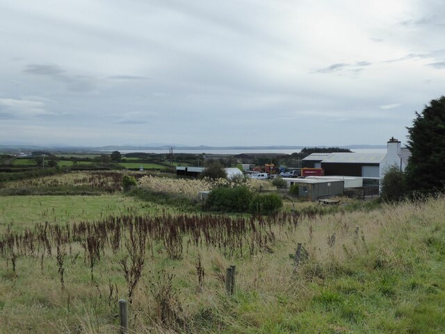
Barn Hill is a prominent hill located in Wigtownshire, a county in the southwestern part of Scotland. Situated near the town of Newton Stewart, the hill offers stunning views and a variety of recreational opportunities for visitors.

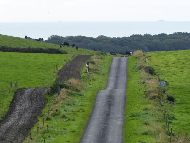
Rising to an elevation of approximately 227 meters (744 feet), Barn Hill is a popular destination for hikers and nature enthusiasts. The hill is characterized by its gently sloping sides and its distinctive summit, which is adorned with a cairn. From the summit, visitors can enjoy panoramic vistas of the surrounding countryside, including the rolling hills, lush green fields, and nearby forests.

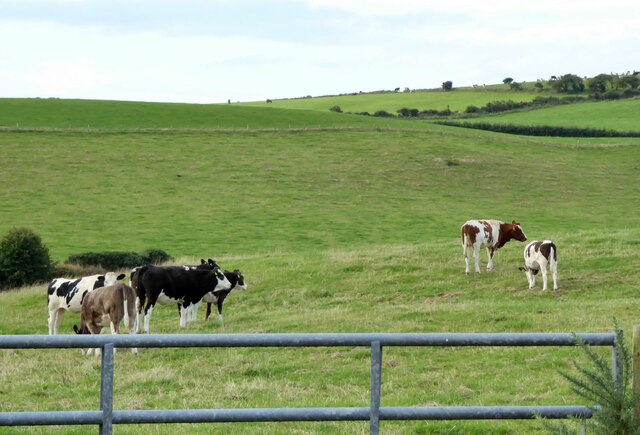
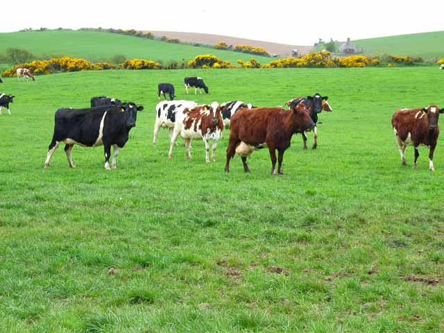
The hill is easily accessible and is a favorite spot for local residents and tourists alike. There are several well-marked trails that lead to the summit, varying in difficulty to accommodate different fitness levels. Along the way, hikers can observe the diverse flora and fauna that inhabit the area, including heather, wildflowers, and birds of prey.

In addition to its natural beauty, Barn Hill also has historical significance. The cairn on the summit is believed to be a remnant of ancient burial practices, attesting to the hill's long history of human habitation.

Overall, Barn Hill in Wigtownshire offers a scenic and enjoyable outdoor experience for those seeking to explore the natural wonders of this picturesque region of Scotland.

If you have any feedback on the listing, please let us know in the comments section below.
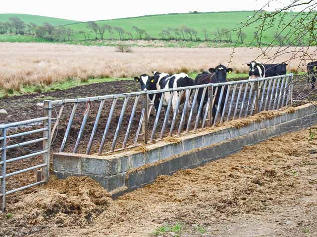
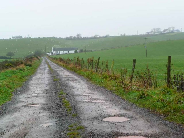
Barn Hill Images

Images are sourced within 2km of 54.829068/-4.9919222 or Grid Reference NX0752. Thanks to Geograph Open Source API. All images are credited.

Kildonnan Cottages With cattle on the hill beyond.
Kildonnan Cottages
With cattle on the hill beyond.
Kildonnan farm With a huge Westfalia Separator tank.
Kildonnan farm
With a huge Westfalia Separator tank.
The road to Sandhead Cattle country!
Note the fenced track beside the pasture so the cows do not trample the grass on their way to be milked.
On the horizon are the Little Scares and the Big Scare.
The road to Sandhead
Cattle country! Note the fenced track beside the pasture so the cows do not trample the grass on their way to be milked. On the horizon are the Little Scares and the Big Scare.
Cattle in pasture  On Knockwar Hill.
Cattle in pasture
On Knockwar Hill.
Dalvadie farm Luce Bay in the distance.
Dalvadie farm
Luce Bay in the distance.
Cattle at High Three Mark Seen from the B7042
Cattle at High Three Mark
Seen from the B7042
Cattle in the brown stuff Seen from the B7042. Am I alone in finding something rather distasteful about this part of the human food chain? 

However, I am assured by 4wd that all is not as it seems. They look well fed and contented. Straw for bedding is hard to come by in remote parts of Scotland and transporting it any distance is now extremely costly. So some cattle are outwintered if possible and they tend to spend a lot of time standing near the gate or feed trough waiting for feed! They aren't confined there with nowhere clean to lie as their clean flanks indicate.
Cattle in the brown stuff
Seen from the B7042. Am I alone in finding something rather distasteful about this part of the human food chain? However, I am assured by 4wd that all is not as it seems. They look well fed and contented. Straw for bedding is hard to come by in remote parts of Scotland and transporting it any distance is now extremely costly. So some cattle are outwintered if possible and they tend to spend a lot of time standing near the gate or feed trough waiting for feed! They aren't confined there with nowhere clean to lie as their clean flanks indicate.
Covered reservoir on the B7042
High Three Mark On the B7042 Portpatrick to Sandhead road.
High Three Mark
On the B7042 Portpatrick to Sandhead road.
On the B7042 near Sandhead Portpatrick to Sandhead road. In south-west Scotland, even the B roads seem like country lanes.
On the B7042 near Sandhead
Portpatrick to Sandhead road. In south-west Scotland, even the B roads seem like country lanes.
Dalvadie near Sandhead On the B7042 Portpatrick to Sandhead road
Dalvadie near Sandhead
On the B7042 Portpatrick to Sandhead road
High Culgroat, near Sandhead
Stoneykirk Stoneykirk Parish Church, now closed, was rebuilt in 1827 at a cost of £2000.  In the distance can be seen the 'golf balls' of the MOD/Qinetiq satellite ground station at West Freugh.
Stoneykirk
Stoneykirk Parish Church, now closed, was rebuilt in 1827 at a cost of £2000. In the distance can be seen the 'golf balls' of the MOD/Qinetiq satellite ground station at West Freugh.
Stoneykirk Parish Church
Cottages at High Three Mark On the B7042
Cottages at High Three Mark
On the B7042
Cattle in the Rhinns of Galloway Seen from the B7042
Cattle in the Rhinns of Galloway
Seen from the B7042
High Three Mark Farm on the B7042 Portpatrick to Sandhead road.
High Three Mark
Farm on the B7042 Portpatrick to Sandhead road.
The road to Caldons Park On a wet, misty and muddy late November day.  The track to Caldons Park turns right at the cottage and continues on to the farm itself at top right of the picture.
The road to Caldons Park
On a wet, misty and muddy late November day. The track to Caldons Park turns right at the cottage and continues on to the farm itself at top right of the picture.
Show me another place!

Barn Hill is located at Grid Ref: NX0752 (Lat: 54.829068, Lng: -4.9919222)

Unitary Authority: Dumfries and Galloway

Police Authority: Dumfries and Galloway

What 3 Words

///subject.retiring.dumps. Near Stranraer, Dumfries & Galloway

Nearby Locations

Barn Hill

Related Wikis

Stoneykirk

Stoneykirk (Scottish Gaelic: Eaglais Steafain) is an area and a village in the heart of the Rhins of Galloway, Wigtownshire, in the administrative council...

Garthland Castle

Garthland Castle was a castle that was located near Garthland Mains, Dumfries and Galloway, Scotland.The castle was possibly built in 1211, as a datestone...

RAF West Freugh

RAF West Freugh is a former Royal Air Force station located in Wigtownshire, 5 miles (8 km) south east of Stranraer, Dumfries and Galloway, Scotland. It...

Sandhead

Sandhead is a small village in Dumfries and Galloway, south west Scotland. It overlooks Luce Bay, 7 miles south of Stranraer. The old main road, named...

Lochans, Dumfries and Galloway

Lochans is a small village around 2.5 miles (4.0 km) south of Stranraer, in Dumfries and Galloway in south-west Scotland. In 1971 it had a population of...

Colfin railway station

Colfin railway station, located in Wigtownshire, Scotland, between Portpatrick and Stranraer, was a station on the Portpatrick and Wigtownshire Joint Railway...

Rhins of Galloway

The Rhins of Galloway, otherwise known as the Rhins of Wigtownshire (or as The Rhins, also spelled The Rhinns; Scottish Gaelic: Na Rannaibh), is a hammer...

Clachanmore

Clachanmore is a village in the South Rhins of Galloway near Ardwell in the south west of Scotland. It has also been known as Low Ardwell.The name of the...

Nearby Amenities

Located within 500m of 54.829068,-4.9919222
The data included in this document is from www.openstreetmap.org. The data is made available under ODbL.

Have you been to Barn Hill?

Leave your review of Barn Hill below (or comments, questions and feedback).