An Càrr
Hill, Mountain in Argyllshire
Scotland
An Càrr

An Càrr is a majestic hill located in Argyllshire, Scotland. Sitting at an impressive height of 1,069 meters (3,507 feet), it dominates the surrounding landscape with its rugged beauty. This mountain is part of the Grampian Mountains range, which stretches across the Scottish Highlands.
An Càrr is renowned for its challenging and dramatic terrain, making it a popular destination for hikers and mountaineers seeking a thrilling adventure. Its slopes are covered in heather, creating a colorful spectacle during the summer months, while winter brings a stunning blanket of snow, transforming the landscape into a winter wonderland.
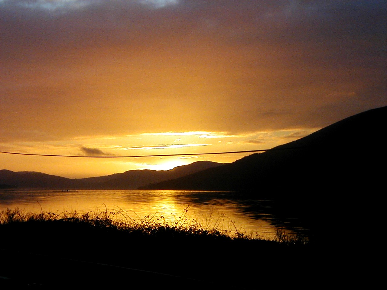
The summit of An Càrr offers breathtaking panoramic views of the surrounding countryside, providing a truly rewarding experience for those who conquer its ascent. On a clear day, one can see the vast expanse of Loch Lomond and the Trossachs National Park to the southeast, while to the west, the Isle of Mull and the Inner Hebrides reveal themselves in all their splendor.
The mountain is home to a diverse array of wildlife, including red deer, mountain hares, and golden eagles. Nature enthusiasts can explore the area and witness these magnificent creatures in their natural habitat.
As with any mountain, it is important to come prepared when venturing to An Càrr. Proper equipment, including sturdy hiking boots, warm clothing, and navigational aids, is essential. The weather can be unpredictable, with strong winds and sudden changes in visibility, so caution is advised.
An Càrr is a true gem of Argyllshire, offering visitors an unforgettable experience of Scotland's untamed beauty and a chance to immerse themselves in the wonders of the natural world.
If you have any feedback on the listing, please let us know in the comments section below.
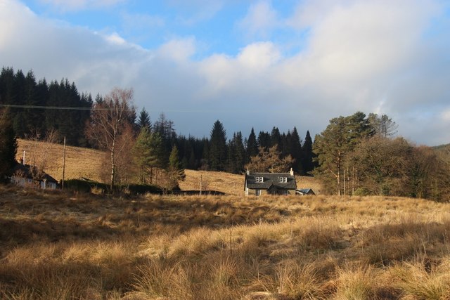
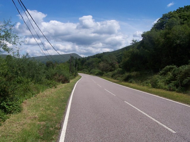
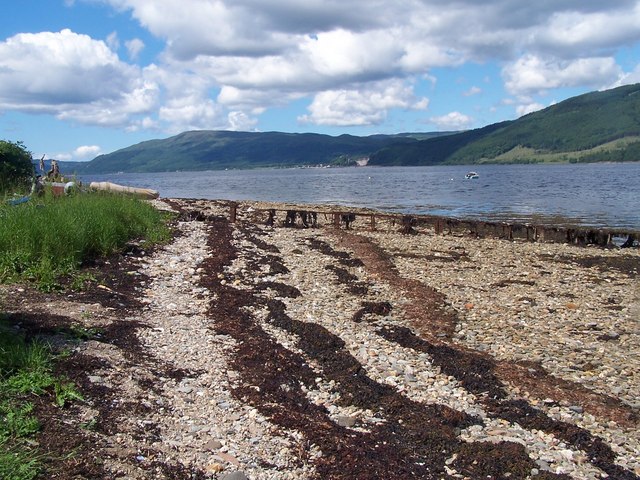
An Càrr Images
Images are sourced within 2km of 56.14619/-5.0952444 or Grid Reference NS0799. Thanks to Geograph Open Source API. All images are credited.


An Càrr is located at Grid Ref: NS0799 (Lat: 56.14619, Lng: -5.0952444)
Unitary Authority: Argyll and Bute
Police Authority: Argyll and West Dunbartonshire
What 3 Words
///hiking.megawatt.legal. Near Inveraray, Argyll & Bute
Nearby Locations
Related Wikis

Strachur Bay
Strachur Bay is a coastal embayment, on a 114° orientation, on the eastern coast of the longest sea loch in Scotland, Loch Fyne located in Argyll and Bute...
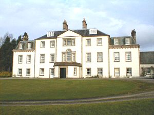
Strachur House
Strachur House is a Category B listed building in Strachur, Argyll and Bute, Scotland. It dates from around 1770, and is a three-storey building, built...
Strachur
Strachur (Scottish Gaelic: Srath Chura) and Strathlachlan (Scottish Gaelic: Srath Lachlainn) are united parishes located on the Cowal peninsula, in Argyll...

Loch Fyne
Loch Fyne (Scottish Gaelic: Loch Fìne, pronounced [l̪ˠɔx ˈfiːnə]; meaning "Loch of the Vine/Wine"), is a sea loch off the Firth of Clyde and forms part...

Glenbranter
Glenbranter; is a hamlet on the northwest shore of Loch Eck in the Argyll Forest Park, on the Cowal peninsula, Argyll and Bute in the West of Scotland...
Furnace, Argyll
Furnace (Scottish Gaelic: An Fhùirneis) (formerly Inverleacainn (Scottish Gaelic: Inbhir Leacainn)) is a village in Argyll and Bute, on the west coast...

River Cur
The River Cur is a river in the Cowal peninsula, Argyll and Bute, western Scotland. The position of its source is uncertain, as it is formed from a large...

Auchindrain
Auchindrain (Scottish Gaelic: Achadh an Droighinn: 'thorn field') lies on the A83, 6 miles (10 km) south of Inveraray in Argyll and Bute, Scotland. It...
Nearby Amenities
Located within 500m of 56.14619,-5.0952444Have you been to An Càrr?
Leave your review of An Càrr below (or comments, questions and feedback).