Barnamon Hill

Hill, Mountain in Wigtownshire

Scotland

Barnamon Hill

Oyster catchers on Ardwell Bay nx070450 Ardwell bay, looking ENE across the bay, Oyster Catchers can be seen looking for a late lunch we were waiting to eat ours as well....
Oyster catchers on Ardwell Bay nx070450 Credit: Dave Smethurst

Barnamon Hill is a prominent landmark located in Wigtownshire, a historic county in the southwest of Scotland. Rising to a height of approximately 215 meters (705 feet), it is classified as a hill or mountain, depending on regional definitions.

Situated near the village of Whithorn, Barnamon Hill offers stunning panoramic views of the surrounding countryside, including the picturesque views of the Machars Peninsula and the Solway Firth. Its distinctive shape and rugged terrain make it a popular destination for hiking and outdoor enthusiasts.

The hill is characterized by its grassy slopes, which are dotted with patches of heather and gorse. The diverse flora and fauna found on Barnamon Hill contribute to its ecological importance. The area is known for its rich biodiversity, with various species of birds, insects, and small mammals inhabiting its slopes.

Barnamon Hill holds historical significance as well. It is believed to have been a site of ancient settlements, with archaeological evidence suggesting human activity dating back thousands of years. The hill has also been associated with local folklore and legends, adding to its mystique and allure.

Access to Barnamon Hill is relatively easy, with a network of well-maintained paths and trails leading to the summit. Visitors can enjoy a leisurely walk or a more challenging hike, depending on their preferences and fitness levels.

In conclusion, Barnamon Hill in Wigtownshire is a scenic and culturally significant landmark that offers breathtaking views, diverse wildlife, and a chance to immerse oneself in the region's rich history and natural beauty.

If you have any feedback on the listing, please let us know in the comments section below.

Barnamon Hill Images

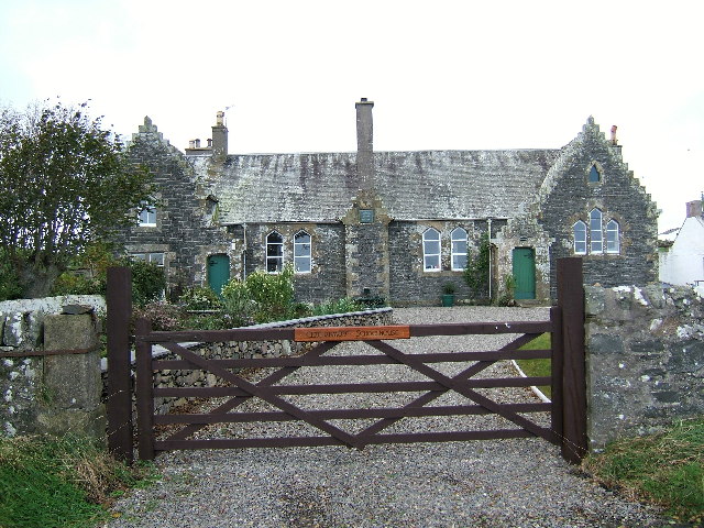
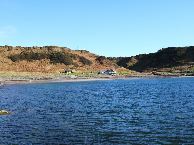
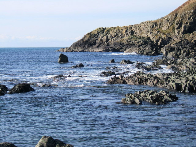
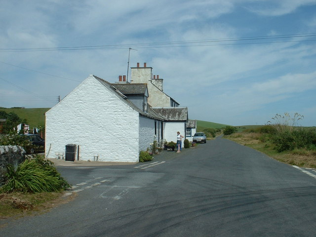
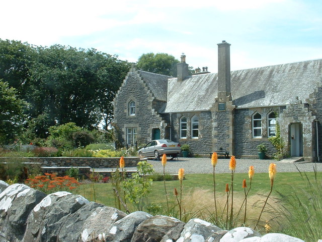
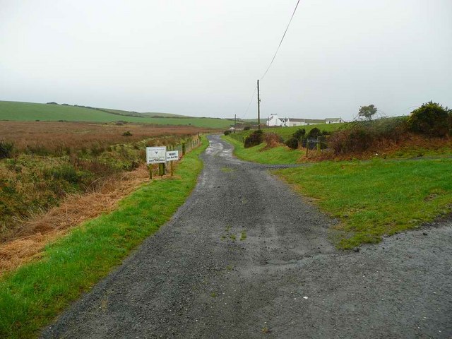
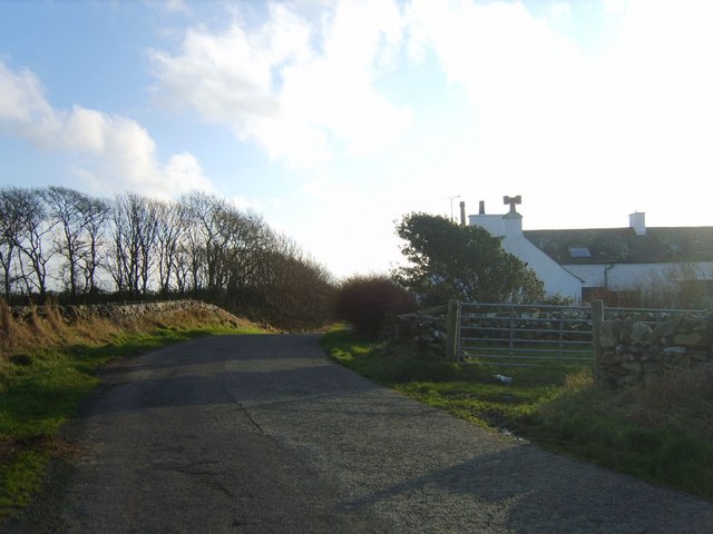
Images are sourced within 2km of 54.777644/-4.990362 or Grid Reference NX0746. Thanks to Geograph Open Source API. All images are credited.

Oyster catchers on Ardwell Bay nx070450 Ardwell bay, looking ENE across the bay, Oyster Catchers can be seen looking for a late lunch we were waiting to eat ours as well....
Oyster catchers on Ardwell Bay nx070450
Ardwell bay, looking ENE across the bay, Oyster Catchers can be seen looking for a late lunch we were waiting to eat ours as well....
Kirkmadrine Church (disused) This disused church is only just in this square located at NX080484. Housed in the old entrance to the church are some of the earliest Christian sculptured stones some of which date back to the 5th century.
Kirkmadrine Church (disused)
This disused church is only just in this square located at NX080484. Housed in the old entrance to the church are some of the earliest Christian sculptured stones some of which date back to the 5th century.
The old schoolhouse at Clachanmore, Ardwell. The old schoolhouse situated at Clachanmore crossroads near Ardwell is the former schoolhouse for Ardwell. It was recently used as an Art gallery, but has since closed and is now a private house.
The old schoolhouse at Clachanmore, Ardwell.
The old schoolhouse situated at Clachanmore crossroads near Ardwell is the former schoolhouse for Ardwell. It was recently used as an Art gallery, but has since closed and is now a private house.
Ardwell Bay (or High Ardwell Bay as the locals call it). Ardwell Bay on the west side if the Rhins of Galloway peninsula facing onto the Irish Sea with good views to Northern Ireland on a clear day.
Ardwell Bay (or High Ardwell Bay as the locals call it).
Ardwell Bay on the west side if the Rhins of Galloway peninsula facing onto the Irish Sea with good views to Northern Ireland on a clear day.
Kirkmadrine Church Probably the site of a monastery in the early Christian period and later of a medieval parish church, built as a burial chapel in the late 19th Century by Lady McTaggart Stewart of Ardwell.
Kirkmadrine Church
Probably the site of a monastery in the early Christian period and later of a medieval parish church, built as a burial chapel in the late 19th Century by Lady McTaggart Stewart of Ardwell.
Cross in Kirkmadrine Churchyard
Float Bay near Stoneykirk, Stranraer, Wigtownshire Another beautiful bay in Southwest Scotland.
Float Bay near Stoneykirk, Stranraer, Wigtownshire
Another beautiful bay in Southwest Scotland.
The point at the end of Float Bay beyond Castle Naught A lovely seascape taken on a beautiful February day at Float Bay.
The point at the end of Float Bay beyond Castle Naught
A lovely seascape taken on a beautiful February day at Float Bay.
Cottages near the old school
Another view of the old school at Ardwell
Kirkmadrine Church This is no longer used as a church but it is the site of an early Christian community. The Kirkmadrine Stones are fine sculptured stones from the 5th century. They are displayed in a glass-fronted porch at the west of the church.
Kirkmadrine Church
This is no longer used as a church but it is the site of an early Christian community. The Kirkmadrine Stones are fine sculptured stones from the 5th century. They are displayed in a glass-fronted porch at the west of the church.
Church Porch, Kirkmadrine This is a glassed porch which contains early Christian stones [5th century]
Church Porch, Kirkmadrine
This is a glassed porch which contains early Christian stones [5th century]
West Ringuinea roadend The farm itself in the distance.
West Ringuinea roadend
The farm itself in the distance.
Salt Pan Cottage This cottage was where salt was obtained by the evaporation of sea water
Salt Pan Cottage
This cottage was where salt was obtained by the evaporation of sea water
Farmhouse and Bones Plantation Rhins farmhouse on quiet country road
Farmhouse and Bones Plantation
Rhins farmhouse on quiet country road
Whitewashed Cottages on Quiet lane Two typical one storey cottages facing each other on a deserted country lane leading to the sea
Whitewashed Cottages on Quiet lane
Two typical one storey cottages facing each other on a deserted country lane leading to the sea
Kirkmadrine Stones The 5th century Kirkmadrine Christian sculptured stones are displayed in the glass-fronted west porch of Kirkmadrine Church; they are under the care of Historic Scotland.
Kirkmadrine Stones
The 5th century Kirkmadrine Christian sculptured stones are displayed in the glass-fronted west porch of Kirkmadrine Church; they are under the care of Historic Scotland.
Toskerton Kirk Road Upper part of track (former Kirk Road) that originally led to the medieval Toskerton Parish Church, it was rebuilt on by Kirkmadrine Church <a href="https://www.geograph.org.uk/gridref/NX0848">NX0848</a>.
Toskerton Kirk Road
Upper part of track (former Kirk Road) that originally led to the medieval Toskerton Parish Church, it was rebuilt on by Kirkmadrine Church NX0848.
Show me another place!

Barnamon Hill is located at Grid Ref: NX0746 (Lat: 54.777644, Lng: -4.990362)

Unitary Authority: Dumfries and Galloway

Police Authority: Dumfries and Galloway

What 3 Words

///pollution.neutron.moats. Near Drummore, Dumfries & Galloway

Related Wikis

Clachanmore

Clachanmore is a village in the South Rhins of Galloway near Ardwell in the south west of Scotland. It has also been known as Low Ardwell.The name of the...

Doon Castle Broch

Doon Castle Broch is an iron-age broch located in Dumfries and Galloway, Scotland (grid reference NX 06702 44683). == Location == The Broch is located...

Ardwell

Ardwell (from Gaelic Àrd Bhaile meaning "high town", pronounced as "Ardwell") is a village in the Scottish unitary council area of Dumfries and Galloway...

Sandhead

Sandhead is a small village in Dumfries and Galloway, south west Scotland. It overlooks Luce Bay, 7 miles south of Stranraer. The old main road, named...

Nearby Amenities

Located within 500m of 54.777644,-4.990362
Barnamon Hill
Natural: peak
Lat/Long: 54.7779474/-4.9893334
Power: pole
Lat/Long: 54.7806741/-4.9850506
Power: pole
Lat/Long: 54.780012/-4.9844238
Power: pole
Lat/Long: 54.779224/-4.9836679
Power: pole
Lat/Long: 54.7785508/-4.9839747
Power: pole
Lat/Long: 54.777931/-4.9842571
Power: pole
Lat/Long: 54.7773732/-4.9845412
Power: pole
Lat/Long: 54.7766542/-4.9848769
Power: pole
Lat/Long: 54.7759501/-4.9852056
Power: pole
Lat/Long: 54.7751999/-4.9855554
Power: pole
Lat/Long: 54.7744687/-4.9858934
Power: pole
Lat/Long: 54.7791916/-4.9843604
Power: pole
Lat/Long: 54.7791388/-4.9856375
Power: pole
Lat/Long: 54.7790128/-4.987309
Power: pole
Lat/Long: 54.7789194/-4.9885486
Power: pole
Lat/Long: 54.7788206/-4.9898374
Power: pole
Lat/Long: 54.7786757/-4.9917108
Power: pole
Lat/Long: 54.7785362/-4.9935748
Power: pole
Lat/Long: 54.7784564/-4.9946172
Power: pole
Lat/Long: 54.7783196/-4.9964342
Power: pole
Lat/Long: 54.7782316/-4.9976573
Power: pole
Lat/Long: 54.7785769/-4.9829753
Power: pole
Lat/Long: 54.777862/-4.9827265
Power: pole
Lat/Long: 54.777556/-4.98298
Power: pole
Lat/Long: 54.7766772/-4.9856657
Power: pole
Lat/Long: 54.7767287/-4.9870156
Power: pole
Lat/Long: 54.7767557/-4.9877105
The data included in this document is from www.openstreetmap.org. The data is made available under ODbL.

Have you been to Barnamon Hill?

Leave your review of Barnamon Hill below (or comments, questions and feedback).