Barn Hill
Hill, Mountain in Wigtownshire
Scotland
Barn Hill

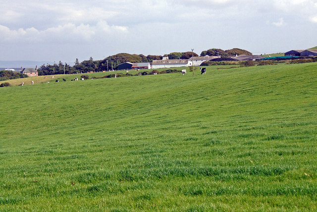
Barn Hill is a prominent hill located in Wigtownshire, a historical county in southwestern Scotland. Standing at an elevation of approximately 320 meters (1,050 feet), it offers stunning panoramic views of the surrounding countryside. Situated near the village of Garlieston, the hill is a popular destination for outdoor enthusiasts, hikers, and nature lovers.
The hill is characterized by its gentle slopes and rolling terrain, making it accessible to walkers of various skill levels. It is covered in lush green vegetation, including grasses, heather, and scattered shrubs. The presence of these various flora species attracts a diverse range of wildlife, making it an ideal spot for birdwatching and nature photography.
At the summit of Barn Hill, visitors can enjoy breathtaking vistas that stretch across the Galloway Hills, the Solway Firth, and the Irish Sea. On clear days, it is even possible to catch a glimpse of the Isle of Man in the distance. The expansive views offer a sense of tranquility and serenity, making it a perfect location for those seeking a peaceful retreat from the hustle and bustle of everyday life.
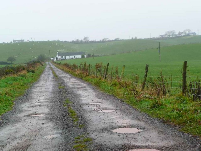
Access to the hill is relatively straightforward, with well-marked footpaths leading to the top. Several trails, varying in length and difficulty, allow visitors to explore the hill at their own pace. Additionally, there are car parks and picnic areas nearby, providing convenient facilities for visitors to enjoy a day out in nature.
In conclusion, Barn Hill in Wigtownshire is a picturesque and accessible hill that offers breathtaking views and a range of outdoor activities. Whether for hiking, wildlife spotting, or simply enjoying the serenity of the countryside, this hill provides a wonderful escape for visitors of all ages.
If you have any feedback on the listing, please let us know in the comments section below.
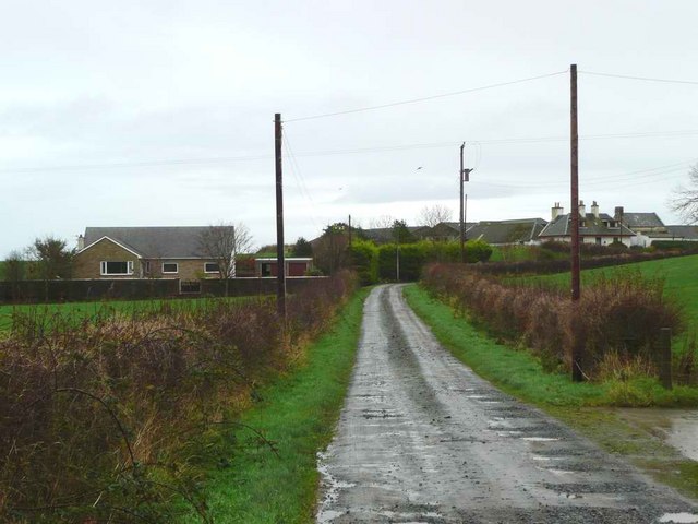
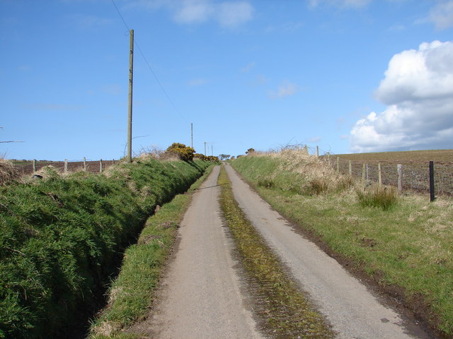
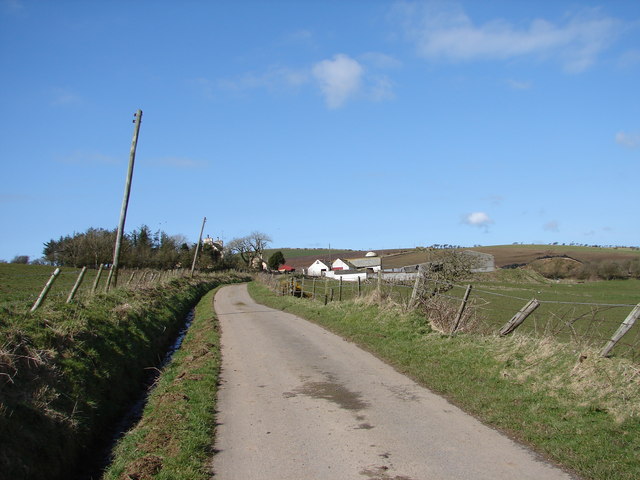
Barn Hill Images
Images are sourced within 2km of 54.856747/-5.0004244 or Grid Reference NX0755. Thanks to Geograph Open Source API. All images are credited.


Barn Hill is located at Grid Ref: NX0755 (Lat: 54.856747, Lng: -5.0004244)
Unitary Authority: Dumfries and Galloway
Police Authority: Dumfries and Galloway
What 3 Words
///extensive.struck.maximum. Near Stranraer, Dumfries & Galloway
Nearby Locations
Related Wikis

Garthland Castle
Garthland Castle was a castle that was located near Garthland Mains, Dumfries and Galloway, Scotland.The castle was possibly built in 1211, as a datestone...
Lochans, Dumfries and Galloway
Lochans is a small village around 2.5 miles (4.0 km) south of Stranraer, in Dumfries and Galloway in south-west Scotland. In 1971 it had a population of...
Stoneykirk
Stoneykirk (Scottish Gaelic: Eaglais Steafain) is an area and a village in the heart of the Rhins of Galloway, Wigtownshire, in the administrative council...

Rhins of Galloway
The Rhins of Galloway, otherwise known as the Rhins of Wigtownshire (or as The Rhins, also spelled The Rhinns; Scottish Gaelic: Na Rannaibh), is a hammer...

RAF West Freugh
RAF West Freugh is a former Royal Air Force station located in Wigtownshire, 5 miles (8 km) south east of Stranraer, Dumfries and Galloway, Scotland. It...

Colfin railway station
Colfin railway station, located in Wigtownshire, Scotland, between Portpatrick and Stranraer, was a station on the Portpatrick and Wigtownshire Joint Railway...

Soulseat Abbey
Saulseat or Soulseat Abbey was a Premonstratensian monastic community located in Wigtownshire, Galloway, in the Gaelic-speaking south-west of Scotland...

Galloway Community Hospital
The Galloway Community Hospital is a small hospital in Stranraer, Galloway, Scotland. It is managed by NHS Dumfries and Galloway. == History == The hospital...
Nearby Amenities
Located within 500m of 54.856747,-5.0004244Have you been to Barn Hill?
Leave your review of Barn Hill below (or comments, questions and feedback).