Am Bàthach
Hill, Mountain in Ross-shire
Scotland
Am Bàthach
Am Bàthach is a prominent hill located in Ross-shire, Scotland. It is part of the Northwest Highlands and is situated near the small settlement of Achnasheen. The hill rises to a height of 798 meters (2,618 feet) and is a popular destination for hikers and outdoor enthusiasts.
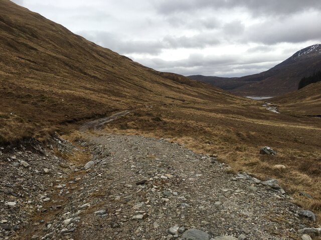
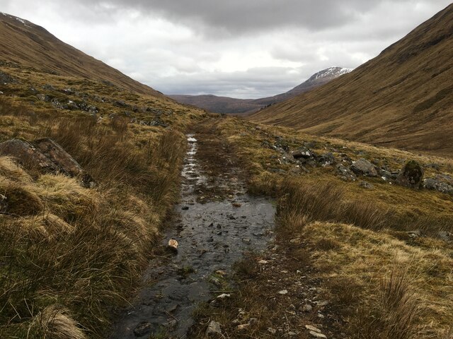
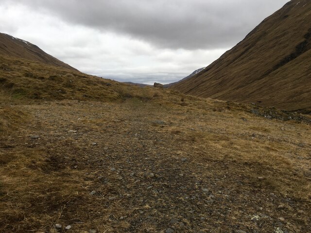
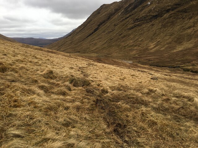
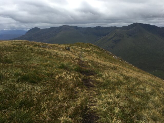
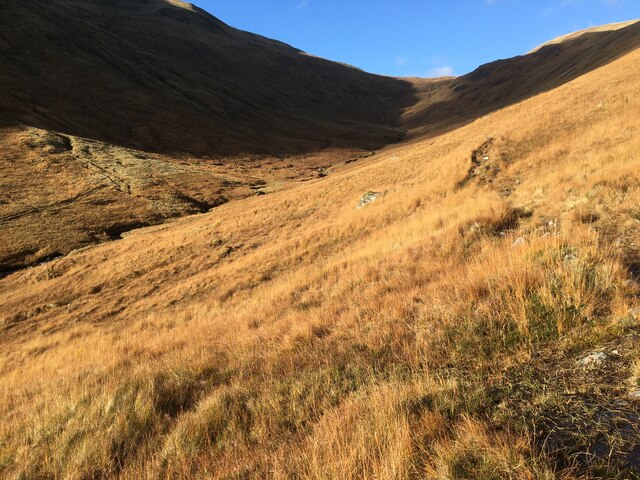
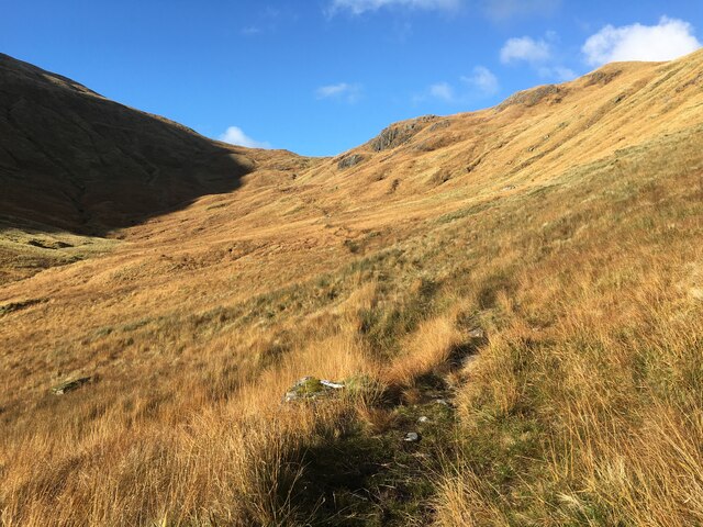
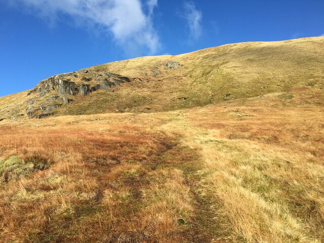
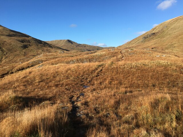
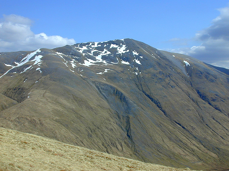
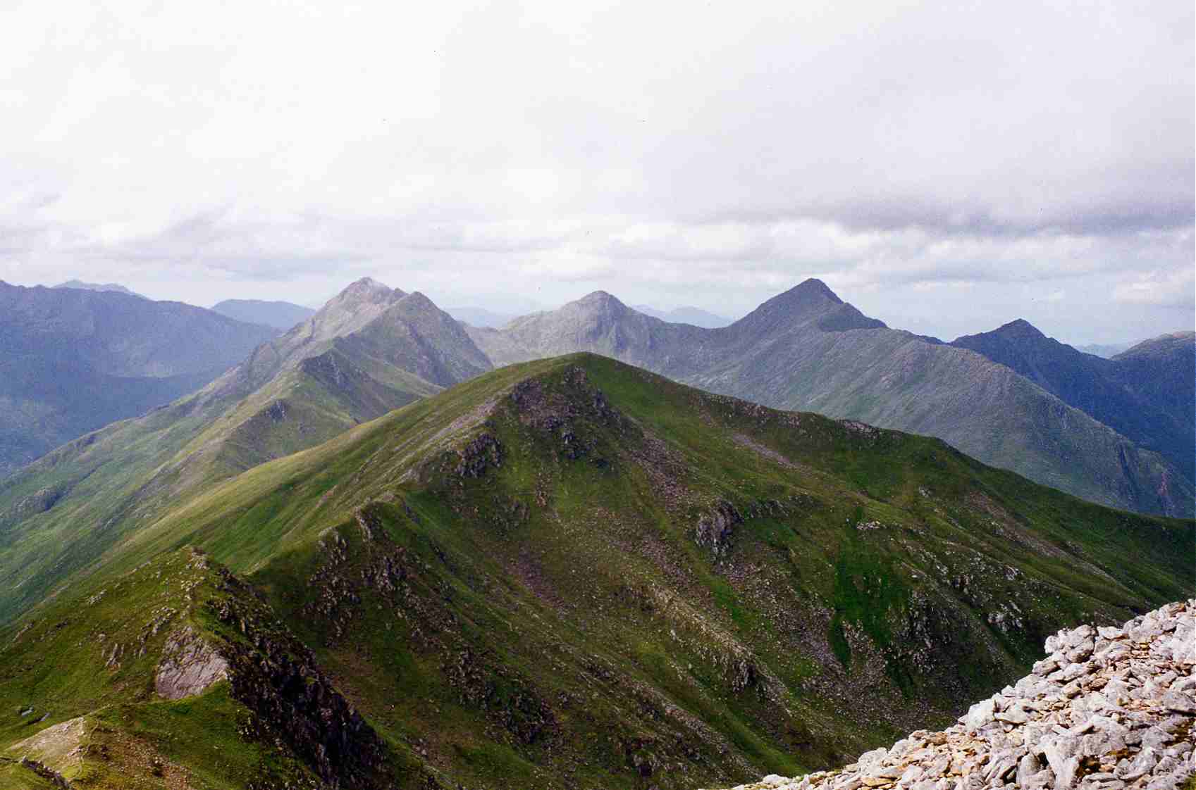
Am Bàthach is characterized by its rugged and rocky terrain, making it a challenging yet rewarding climb. The hill offers stunning panoramic views of the surrounding landscape, including the peaks of the Torridon mountains to the west and the waters of Loch a' Chroisg to the east.
The ascent to the summit of Am Bàthach is steep and requires a moderate level of fitness and hiking experience. The most common route starts from the Achnasheen railway station, following a path that gradually climbs through heather-covered slopes and rocky outcrops. As climbers ascend, they are treated to breathtaking vistas of the nearby hills and glens.
At the top, hikers are rewarded with a magnificent view that stretches for miles, encompassing the picturesque Scottish countryside. On a clear day, it is possible to see as far as the Isle of Skye and the Outer Hebrides.
Due to its proximity to Achnasheen, Am Bàthach is easily accessible and attracts both locals and tourists looking to experience the beauty of the Scottish Highlands. The hill offers a challenging and memorable hiking experience, allowing visitors to immerse themselves in the stunning natural scenery of Ross-shire.
If you have any feedback on the listing, please let us know in the comments section below.
Am Bàthach Images
Images are sourced within 2km of 57.17932/-5.1892821 or Grid Reference NH0714. Thanks to Geograph Open Source API. All images are credited.


Am Bàthach is located at Grid Ref: NH0714 (Lat: 57.17932, Lng: -5.1892821)
Unitary Authority: Highland
Police Authority: Highlands and Islands
What 3 Words
///watchdogs.buddy.crowbar. Near Glenelg, Highland
Nearby Locations
Related Wikis

Am Bàthach
Am Bàthach is a Scottish mountain situated at the head of Glen Shiel, at the western end of Loch Cluanie some 38 km (24 mi) south east of Kyle of Lochalsh...
A' Chràlaig
A' Chralaig (Scottish Gaelic: A' Chràileag) is a mountain in the Northwest Highlands of Scotland, north of Loch Cluanie and south of Glen Affric. It is...

Aonach Meadhoin
Aonach Meadhoin is a Munro mountain situated in the Kintail region of Scotland. It stands on the northern side of Glen Shiel some 31 kilometres south east...

Ciste Dhubh
Ciste Dhubh is a mountain in the Scottish Highlands, between Glen Shiel and Glen Affric. With a height of 979 metres (3,212 ft), it is classed as a Munro...

Mullach Fraoch-choire
Mullach Fraoch-choire is a 1,102-metre (3,615 ft) mountain – a Munro – in the Northwest Highlands of Scotland on a ridge extending north for 8 kilometres...

Sgùrr a' Bhealaich Dheirg
Sgùrr a' Bhealaich Dheirg (Scottish Gaelic for 'peak of the red gap') is a mountain in Kintail on the northern side of Glen Shiel in the Scottish Highlands...
Sàileag
Sàileag is Scottish mountain located on the northern side of Glen Shiel, 27 kilometres south east of Kyle of Lochalsh. == Overview == It lies just to the...

Sgùrr nan Conbhairean
Sgùrr nan Conbhairean (Scottish Gaelic for 'peak of the dog-men') is a mountain in the Northwest Highlands of Scotland, lying north of Loch Cluanie and...
Nearby Amenities
Located within 500m of 57.17932,-5.1892821Have you been to Am Bàthach?
Leave your review of Am Bàthach below (or comments, questions and feedback).