Cairn Hill
Hill, Mountain in Wigtownshire
Scotland
Cairn Hill
Cairn Hill is a prominent hill located in Wigtownshire, a historic county in southwestern Scotland. Situated near the village of Penninghame, it stands at an elevation of approximately 362 meters (1,188 feet) and is part of the Galloway Hills range.
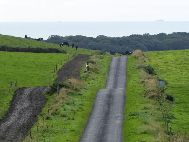
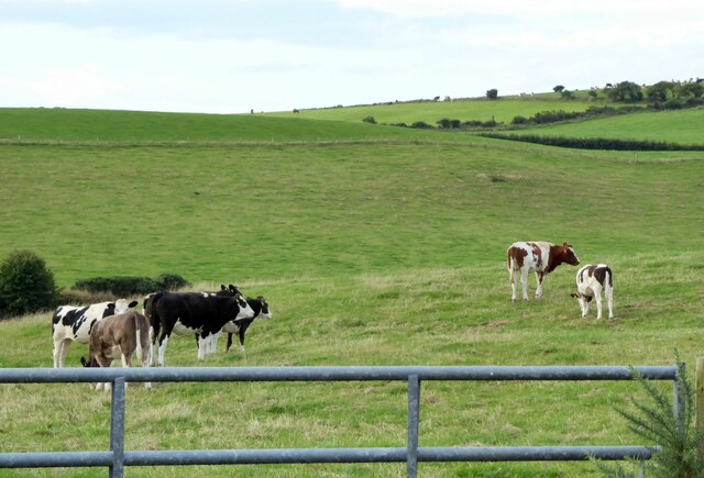
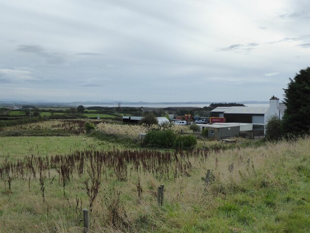
The hill is characterized by its distinct conical shape, covered in heather and grass. Its summit offers breathtaking panoramic views of the surrounding countryside, including the nearby Rhinns of Kells and the distant Irish Sea. On a clear day, visitors can even catch a glimpse of the Isle of Man.
Cairn Hill is a popular destination for hikers and nature enthusiasts. There are several well-marked trails leading up to the summit, catering to all levels of fitness and experience. The ascent can be challenging at times, but the reward of reaching the top and taking in the stunning vistas makes it all worthwhile.
The area surrounding Cairn Hill is rich in wildlife, with various species of birds, including merlins and peregrine falcons, often spotted soaring above. Additionally, the hill is home to a diverse range of flora, including heather, bilberry, and mosses.
For those interested in history, Cairn Hill holds archaeological significance. There are several cairns (ancient burial mounds) scattered across its slopes, providing a glimpse into the area's past.
Overall, Cairn Hill in Wigtownshire offers a captivating outdoor experience, combining natural beauty, hiking opportunities, and historical intrigue.
If you have any feedback on the listing, please let us know in the comments section below.
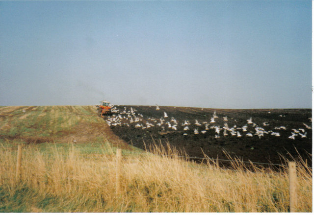
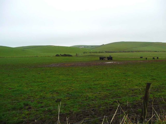
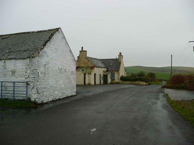
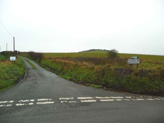
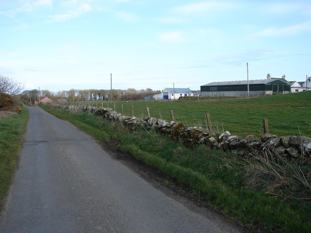
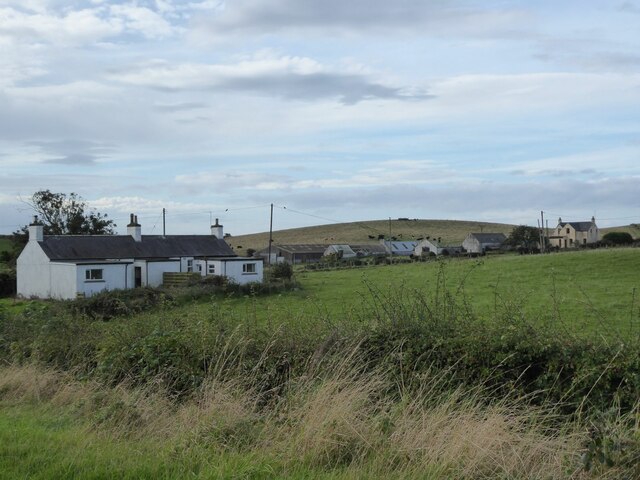
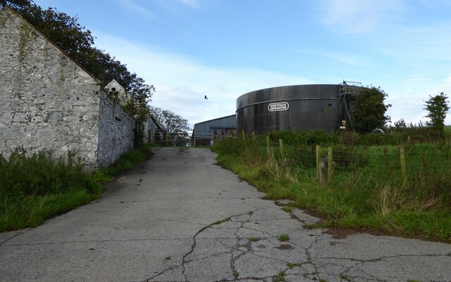
Cairn Hill Images
Images are sourced within 2km of 54.816865/-5.001139 or Grid Reference NX0751. Thanks to Geograph Open Source API. All images are credited.


Cairn Hill is located at Grid Ref: NX0751 (Lat: 54.816865, Lng: -5.001139)
Unitary Authority: Dumfries and Galloway
Police Authority: Dumfries and Galloway
What 3 Words
///earliest.recorders.blasted. Near Stranraer, Dumfries & Galloway
Nearby Locations
Related Wikis

Stoneykirk
Stoneykirk (Scottish Gaelic: Eaglais Steafain) is an area and a village in the heart of the Rhins of Galloway, Wigtownshire, in the administrative council...
Sandhead
Sandhead is a small village in Dumfries and Galloway, south west Scotland. It overlooks Luce Bay, 7 miles south of Stranraer. The old main road, named...
Garthland Castle
Garthland Castle was a castle that was located near Garthland Mains, Dumfries and Galloway, Scotland.The castle was possibly built in 1211, as a datestone...

Clachanmore
Clachanmore is a village in the South Rhins of Galloway near Ardwell in the south west of Scotland. It has also been known as Low Ardwell.The name of the...

RAF West Freugh
RAF West Freugh is a former Royal Air Force station located in Wigtownshire, 5 miles (8 km) south east of Stranraer, Dumfries and Galloway, Scotland. It...

Colfin railway station
Colfin railway station, located in Wigtownshire, Scotland, between Portpatrick and Stranraer, was a station on the Portpatrick and Wigtownshire Joint Railway...
Knockinaam Lodge
Knockinaam Lodge is a hotel and restaurant located about 3.5 miles South of Portpatrick, Dumfries & Galloway, Scotland. As of 2008, the restaurant holds...
Lochans, Dumfries and Galloway
Lochans is a small village around 2.5 miles (4.0 km) south of Stranraer, in Dumfries and Galloway in south-west Scotland. In 1971 it had a population of...
Nearby Amenities
Located within 500m of 54.816865,-5.001139Have you been to Cairn Hill?
Leave your review of Cairn Hill below (or comments, questions and feedback).