Cairn Hill
Hill, Mountain in Wigtownshire
Scotland
Cairn Hill

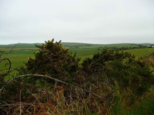
Cairn Hill is a prominent hill located in Wigtownshire, a historic county in the southwest of Scotland. Situated near the village of Kirkcowan, the hill forms part of the Galloway Hills range and offers stunning views of the surrounding countryside.
Standing at an elevation of 658 meters (2,159 feet), Cairn Hill is a popular destination for hikers and outdoor enthusiasts. It boasts a distinctive conical shape with a rocky summit, making it easily recognizable from a distance. The hill is composed primarily of granite, which gives it a rugged and picturesque appearance.
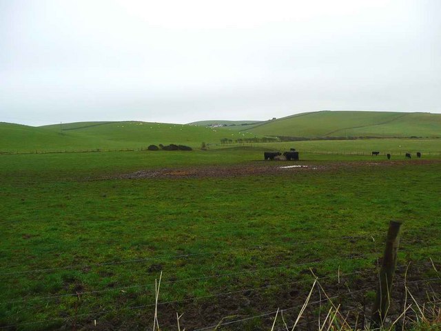
The ascent to Cairn Hill can be challenging, with steep slopes and uneven terrain. However, the effort is rewarded with breathtaking panoramic views of the rolling hills, moorland, and distant mountains. On clear days, it is possible to see as far as the Irish Sea and the Isle of Man.
Wildlife is abundant in the area surrounding Cairn Hill. The hill is home to a variety of bird species, including peregrine falcons, buzzards, and red kites. Hares, deer, and sheep can also be spotted in the hillsides.
Cairn Hill is steeped in history and folklore. In ancient times, it is said to have been a site of pagan rituals and burial mounds. Today, it remains an important landmark in the local community, attracting visitors from near and far who seek to explore its natural beauty and learn about its rich heritage.
If you have any feedback on the listing, please let us know in the comments section below.
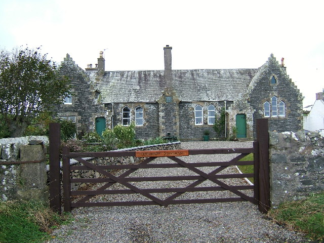
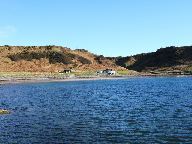
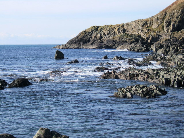
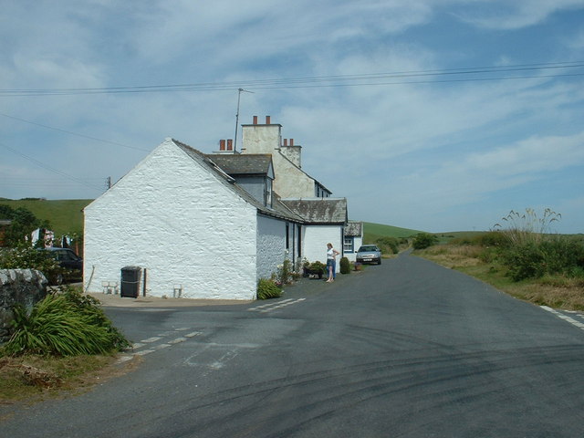
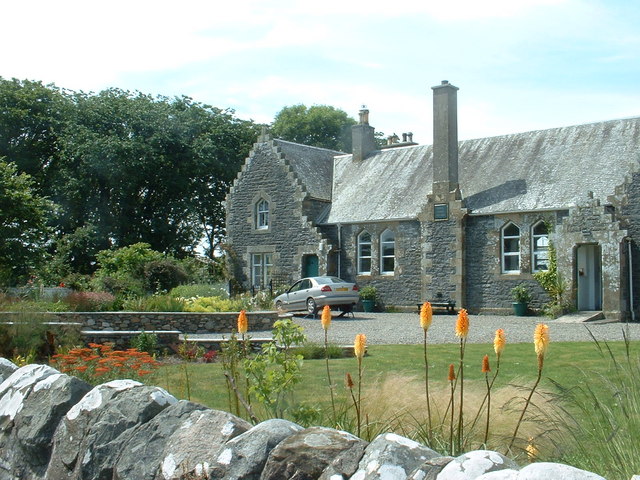
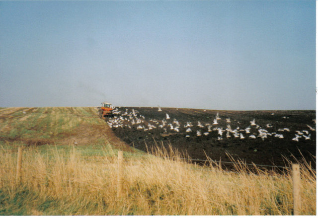
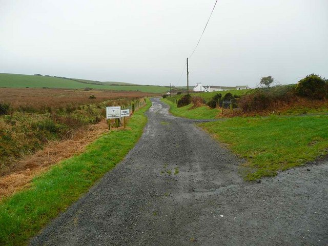
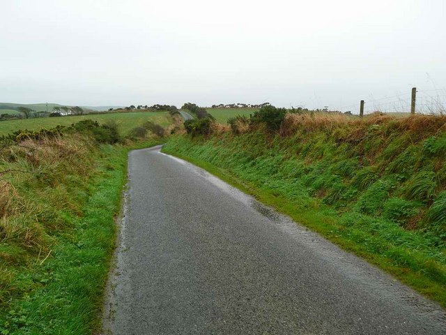
Cairn Hill Images
Images are sourced within 2km of 54.78914/-5.0028639 or Grid Reference NX0747. Thanks to Geograph Open Source API. All images are credited.


![Church Porch, Kirkmadrine This is a glassed porch which contains early Christian stones [5th century]](https://s3.geograph.org.uk/photos/26/31/263135_aa94837a.jpg)


Cairn Hill is located at Grid Ref: NX0747 (Lat: 54.78914, Lng: -5.0028639)
Unitary Authority: Dumfries and Galloway
Police Authority: Dumfries and Galloway
What 3 Words
///obstruct.ghost.oatmeal. Near Stranraer, Dumfries & Galloway
Nearby Locations
Related Wikis

Clachanmore
Clachanmore is a village in the South Rhins of Galloway near Ardwell in the south west of Scotland. It has also been known as Low Ardwell.The name of the...

Doon Castle Broch
Doon Castle Broch is an iron-age broch located in Dumfries and Galloway, Scotland (grid reference NX 06702 44683). == Location == The Broch is located...

Sandhead
Sandhead is a small village in Dumfries and Galloway, south west Scotland. It overlooks Luce Bay, 7 miles south of Stranraer. The old main road, named...
Ardwell
Ardwell (from Gaelic Àrd Bhaile meaning "high town", pronounced as "Ardwell") is a village in the Scottish unitary council area of Dumfries and Galloway...
Stoneykirk
Stoneykirk (Scottish Gaelic: Eaglais Steafain) is an area and a village in the heart of the Rhins of Galloway, Wigtownshire, in the administrative council...

Logan Botanic Garden
Logan Botanic Garden is a botanical garden near Port Logan on the Rhins of Galloway, at the south-western tip of Scotland. The Botanic Garden was established...
Knockinaam Lodge
Knockinaam Lodge is a hotel and restaurant located about 3.5 miles South of Portpatrick, Dumfries & Galloway, Scotland. As of 2008, the restaurant holds...

RAF West Freugh
RAF West Freugh is a former Royal Air Force station located in Wigtownshire, 5 miles (8 km) south east of Stranraer, Dumfries and Galloway, Scotland. It...
Nearby Amenities
Located within 500m of 54.78914,-5.0028639Have you been to Cairn Hill?
Leave your review of Cairn Hill below (or comments, questions and feedback).