Auchencloy Big Hill

Hill, Mountain in Wigtownshire

Scotland

Auchencloy Big Hill

Sheep on Barmore Hill More grassland!
Sheep on Barmore Hill Credit: Russel Wills

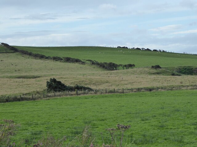
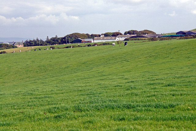
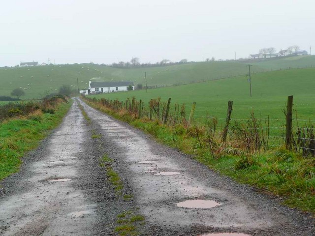
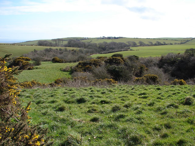
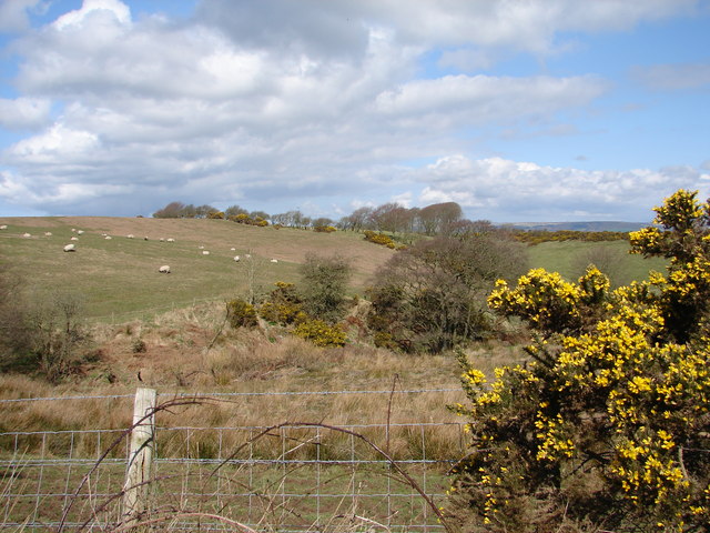
Auchencloy Big Hill is a prominent hill located in Wigtownshire, in the southwest of Scotland. It stands at an elevation of approximately 315 meters (1,033 feet) above sea level, making it a notable feature in the area. The hill is situated in a remote and rural part of Wigtownshire, surrounded by picturesque countryside and farmland.

Auchencloy Big Hill is known for its distinctive conical shape, which makes it easily identifiable from a distance. Its summit offers panoramic views of the surrounding landscape, including the nearby towns of Newton Stewart and Wigtown. On a clear day, it is possible to see as far as the Galloway Hills to the north and the Irish Sea to the west.

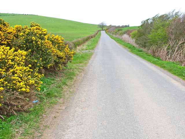
The hill is a popular destination for hikers and nature enthusiasts, who are drawn to its natural beauty and the opportunities it offers for outdoor activities. Several walking trails and paths crisscross the hill, providing visitors with the chance to explore its slopes and enjoy the tranquility of the surroundings.

Auchencloy Big Hill is also home to a diverse range of flora and fauna, including heather, bracken, and various species of birds. The area is designated as a Site of Special Scientific Interest (SSSI), reflecting its importance for conservation and biodiversity.

In conclusion, Auchencloy Big Hill is a striking and picturesque feature of Wigtownshire, offering stunning views, recreational opportunities, and a haven for wildlife. It is a beloved destination for locals and visitors alike, showcasing the natural beauty of the Scottish countryside.

If you have any feedback on the listing, please let us know in the comments section below.

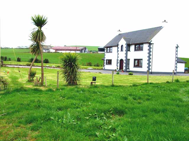
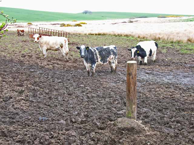
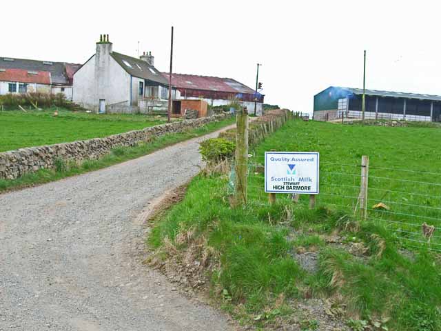
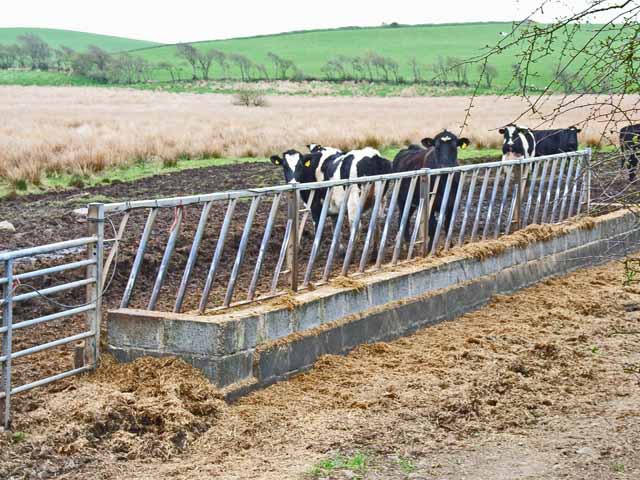
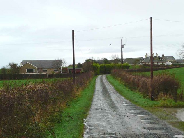
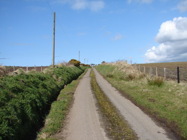
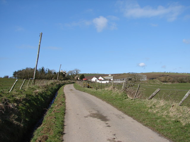
Auchencloy Big Hill Images

Images are sourced within 2km of 54.842185/-5.0097181 or Grid Reference NX0653. Thanks to Geograph Open Source API. All images are credited.

Sheep on Barmore Hill More grassland!
Sheep on Barmore Hill
More grassland!
Barmore House Note the tropical palm trees!
Barmore House
Note the tropical palm trees!
Kildonnan farm With a huge Westfalia Separator tank.
Kildonnan farm
With a huge Westfalia Separator tank.
B7042 Portpatrick to Sandhead road In south-west Scotland, the B roads are more like quiet country lanes.
B7042 Portpatrick to Sandhead road
In south-west Scotland, the B roads are more like quiet country lanes.
The "Scottish Riviera" Palm trees outside this house at Balmore are witness to the mild climate of Galloway.
The "Scottish Riviera"
Palm trees outside this house at Balmore are witness to the mild climate of Galloway.
Cattle in the brown stuff Seen from the B7042. Am I alone in finding something rather distasteful about this part of the human food chain? 

However, I am assured by 4wd that all is not as it seems. They look well fed and contented. Straw for bedding is hard to come by in remote parts of Scotland and transporting it any distance is now extremely costly. So some cattle are outwintered if possible and they tend to spend a lot of time standing near the gate or feed trough waiting for feed! They aren't confined there with nowhere clean to lie as their clean flanks indicate.
Cattle in the brown stuff
Seen from the B7042. Am I alone in finding something rather distasteful about this part of the human food chain? However, I am assured by 4wd that all is not as it seems. They look well fed and contented. Straw for bedding is hard to come by in remote parts of Scotland and transporting it any distance is now extremely costly. So some cattle are outwintered if possible and they tend to spend a lot of time standing near the gate or feed trough waiting for feed! They aren't confined there with nowhere clean to lie as their clean flanks indicate.
High Barmore Dairy farm in the Rhinns of Galloway
High Barmore
Dairy farm in the Rhinns of Galloway
Cattle in the Rhinns of Galloway Seen from the B7042
Cattle in the Rhinns of Galloway
Seen from the B7042
Colfin Farm
Colfin Farm
The road to Caldons Park On a wet, misty and muddy late November day.  The track to Caldons Park turns right at the cottage and continues on to the farm itself at top right of the picture.
The road to Caldons Park
On a wet, misty and muddy late November day. The track to Caldons Park turns right at the cottage and continues on to the farm itself at top right of the picture.
Glaur in Galloway Lots of mud at this farm gate.  Cairn Pat, with mast, just visible in the distance.
Glaur in Galloway
Lots of mud at this farm gate. Cairn Pat, with mast, just visible in the distance.
The track to Garthland Mains The Garthland Burn runs alongside the track.
The track to Garthland Mains
The Garthland Burn runs alongside the track.
The road to Outer Blair
Stoneykirk Cemetery Stoneykirk Cemetery stands just N of the village on the E side of the A716. It contains 18 war graves, mainly air force including those from Australia, Canada and New Zealand.
Stoneykirk Cemetery
Stoneykirk Cemetery stands just N of the village on the E side of the A716. It contains 18 war graves, mainly air force including those from Australia, Canada and New Zealand.
Bean Hill Quiet back lane climbs up Bean Hill between Eldrickhill and Colfin.
Bean Hill
Quiet back lane climbs up Bean Hill between Eldrickhill and Colfin.
Eldrickhill Farm View north toward Eldrickhill Farm where things lean to the right - the effects of the westerly winds off the Irish Sea combined with boggy ground.
Eldrickhill Farm
View north toward Eldrickhill Farm where things lean to the right - the effects of the westerly winds off the Irish Sea combined with boggy ground.
Barnchalloch Glen View southeast across the windy and wooded Barnchalloch Glen. In the distance is Caldonshill Farm.
Barnchalloch Glen
View southeast across the windy and wooded Barnchalloch Glen. In the distance is Caldonshill Farm.
Auchencloy Hills View north-westward from the Awhirk-Craigencrosh lane near Stoneykirk.
Auchencloy Hills
View north-westward from the Awhirk-Craigencrosh lane near Stoneykirk.
Show me another place!

Auchencloy Big Hill is located at Grid Ref: NX0653 (Lat: 54.842185, Lng: -5.0097181)

Unitary Authority: Dumfries and Galloway

Police Authority: Dumfries and Galloway

What 3 Words

///alarm.admiral.octagonal. Near Stranraer, Dumfries & Galloway

Related Wikis

Garthland Castle

Garthland Castle was a castle that was located near Garthland Mains, Dumfries and Galloway, Scotland.The castle was possibly built in 1211, as a datestone...

Stoneykirk

Stoneykirk (Scottish Gaelic: Eaglais Steafain) is an area and a village in the heart of the Rhins of Galloway, Wigtownshire, in the administrative council...

Lochans, Dumfries and Galloway

Lochans is a small village around 2.5 miles (4.0 km) south of Stranraer, in Dumfries and Galloway in south-west Scotland. In 1971 it had a population of...

Colfin railway station

Colfin railway station, located in Wigtownshire, Scotland, between Portpatrick and Stranraer, was a station on the Portpatrick and Wigtownshire Joint Railway...

Rhins of Galloway

The Rhins of Galloway, otherwise known as the Rhins of Wigtownshire (or as The Rhins, also spelled The Rhinns; Scottish Gaelic: Na Rannaibh), is a hammer...

RAF West Freugh

RAF West Freugh is a former Royal Air Force station located in Wigtownshire, 5 miles (8 km) south east of Stranraer, Dumfries and Galloway, Scotland. It...

Knockinaam Lodge

Knockinaam Lodge is a hotel and restaurant located about 3.5 miles South of Portpatrick, Dumfries & Galloway, Scotland. As of 2008, the restaurant holds...

Soulseat Abbey

Saulseat or Soulseat Abbey was a Premonstratensian monastic community located in Wigtownshire, Galloway, in the Gaelic-speaking south-west of Scotland...

Nearby Amenities

Located within 500m of 54.842185,-5.0097181
Auchencloy Big Hill
Natural: peak
Lat/Long: 54.8421495/-5.0091742
Power: pole
Lat/Long: 54.8381476/-5.0067471
Power: pole
Lat/Long: 54.8387566/-5.0062892
Power: pole
Lat/Long: 54.8394806/-5.0057653
Power: pole
Lat/Long: 54.8402951/-5.0051716
The data included in this document is from www.openstreetmap.org. The data is made available under ODbL.

Have you been to Auchencloy Big Hill?

Leave your review of Auchencloy Big Hill below (or comments, questions and feedback).