High Walton
Settlement in Cumberland Copeland
England
High Walton

High Walton is a small village located in the county of Cumberland, in the north-west region of England. It is situated approximately 6 miles south-west of the town of Carlisle and lies on the edge of the Lake District National Park. The village is nestled amidst picturesque countryside, offering residents and visitors stunning views of the surrounding hills and fields.
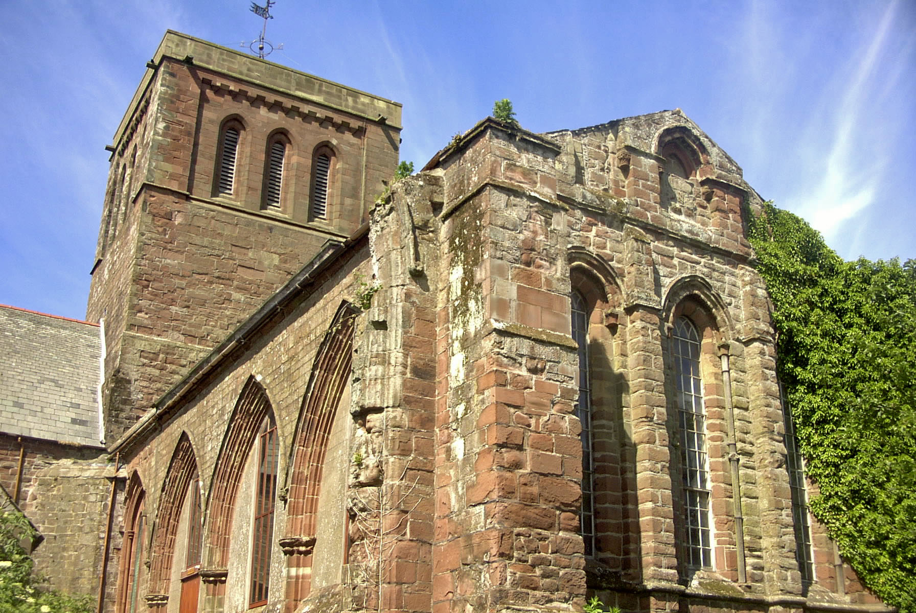
High Walton has a rich history that dates back to Roman times, with evidence of Roman settlements and artifacts being discovered in the area. The village has retained a sense of its historical past, with several old buildings and structures still standing, including the St. Mary's Church, which dates back to the 12th century.
Despite its small size, the village boasts a close-knit community that is known for its friendly and welcoming atmosphere. It has a range of amenities and services, including a village hall, a primary school, and a local pub, which serves as a popular meeting place for residents.
The location of High Walton makes it an ideal base for exploring the nearby Lake District National Park, which attracts thousands of tourists each year. The park offers opportunities for hiking, cycling, and enjoying the natural beauty of the area.
In conclusion, High Walton is a charming village with a rich history and stunning surroundings. Its close proximity to the Lake District National Park makes it an attractive destination for both residents and tourists alike.
If you have any feedback on the listing, please let us know in the comments section below.
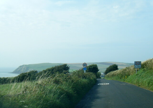
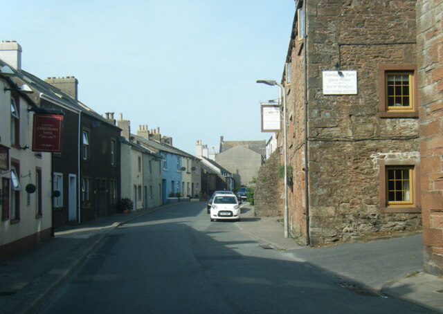
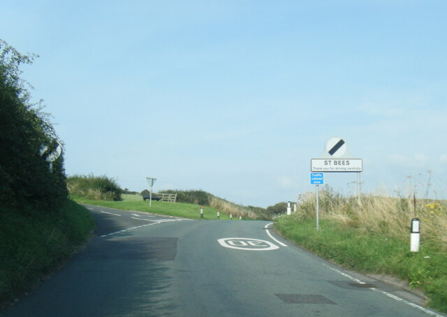
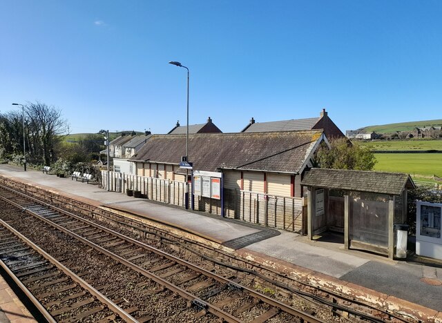
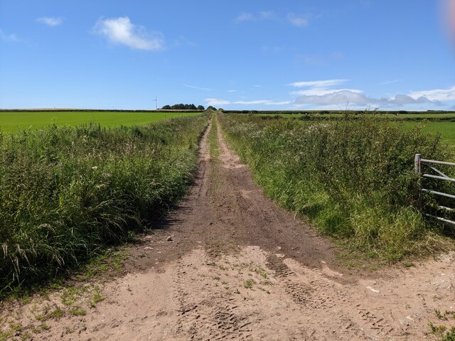
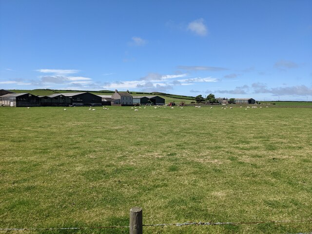
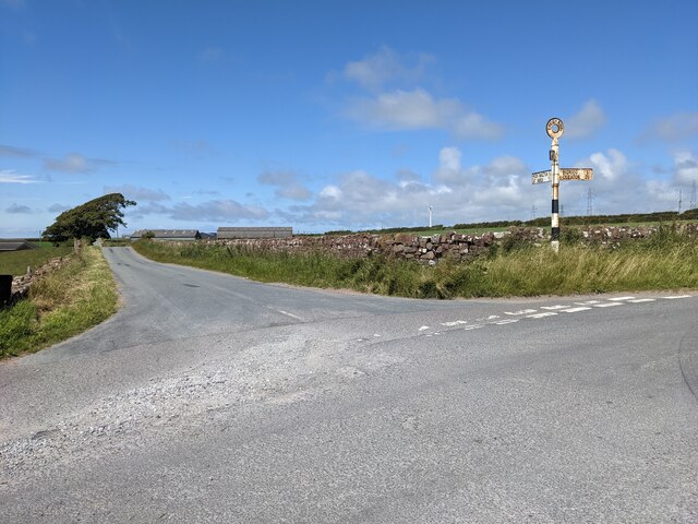
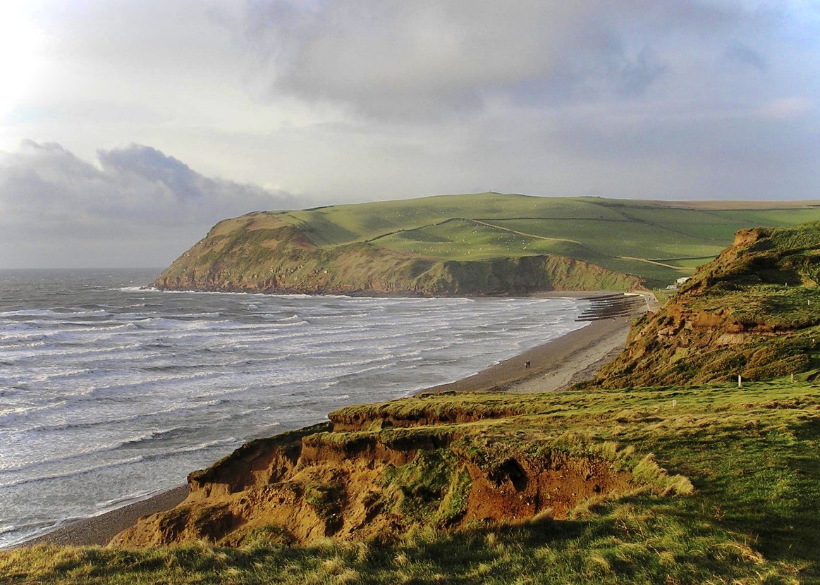
High Walton Images
Images are sourced within 2km of 54.49304/-3.57627 or Grid Reference NX9812. Thanks to Geograph Open Source API. All images are credited.


High Walton is located at Grid Ref: NX9812 (Lat: 54.49304, Lng: -3.57627)
Administrative County: Cumbria
District: Copeland
Police Authority: Cumbria
What 3 Words
///timer.smile.firm. Near St Bees, Cumbria
Nearby Locations
Related Wikis
St Bees
St Bees is a coastal village, civil parish and electoral ward in the Copeland district of Cumbria, England, on the Irish Sea. Within the parish is St Bees...

St Bees railway station
St Bees railway station is a railway station serving the village of St Bees in Cumbria, England. It is on the Cumbrian Coast Line, which runs between Carlisle...

St Bees School
St Bees School is a co-educational private school in the English public school tradition, located in the West Cumbrian village of St Bees, England. It...

St Bees Priory
St Bees Priory is the parish church of St Bees, Cumbria, England. There is evidence for a pre-Norman religious site, and on this a Benedictine priory was...
St Bees Theological College
St Bees Theological College, close to the coast of Cumberland, was the first independent theological college to be established for the training of Church...
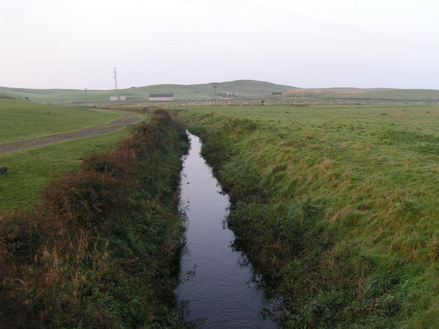
Pow Beck
Pow Beck is a stream in Cumbria, rising near Mirehouse and flowing in a southwesterly direction to the village of St Bees where it flows into the Irish...

St Bees Head RSPB reserve
St Bees Head RSPB Reserve at St Bees Head, Cumbria, England, is a coastal site which provides a home for thousands of seabirds under the care of the RSPB...

Rottington
Rottington is a hamlet and former civil parish which is 3 miles (4.8 km) from Whitehaven; now in the parish of St Bees, Cumberland, Cumbria, England. It...
Nearby Amenities
Located within 500m of 54.49304,-3.57627Have you been to High Walton?
Leave your review of High Walton below (or comments, questions and feedback).