An Cnapach
Hill, Mountain in Ross-shire
Scotland
An Cnapach

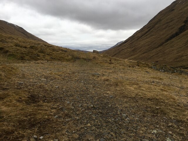
An Cnapach is a prominent hill located in the county of Ross-shire, Scotland. Situated in the Northwest Highlands, it is part of the Torridon mountain range. Rising to an elevation of 961 meters (3,153 feet), An Cnapach offers breathtaking views and is a popular destination for hikers and mountaineers.
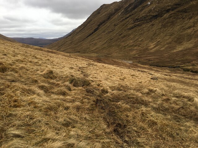
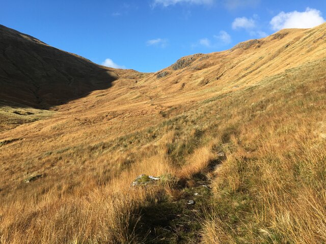
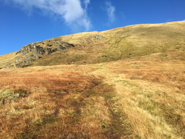
The hill is characterized by its distinctive cone shape and rugged terrain, with steep slopes and rocky outcrops. Its summit provides a panoramic vista of the surrounding landscape, including nearby mountains such as Beinn Eighe and Liathach. On clear days, it is even possible to catch a glimpse of the Isle of Skye in the distance.
The ascent to An Cnapach can be challenging, particularly due to the steep and uneven ground. However, experienced hillwalkers will be rewarded with stunning vistas and a sense of accomplishment upon reaching the summit. The hill is often combined with neighboring peaks for longer hikes, such as the popular Beinn Eighe Nature Reserve circuit.
An Cnapach is also known for its rich wildlife. The hillside is home to a variety of bird species, including eagles, peregrine falcons, and ptarmigans. Deer and mountain hares can often be spotted in the surrounding area as well.
Overall, An Cnapach is a remarkable hill in Ross-shire, offering outdoor enthusiasts a challenging and rewarding experience with its stunning views, unique topography, and diverse wildlife.
If you have any feedback on the listing, please let us know in the comments section below.
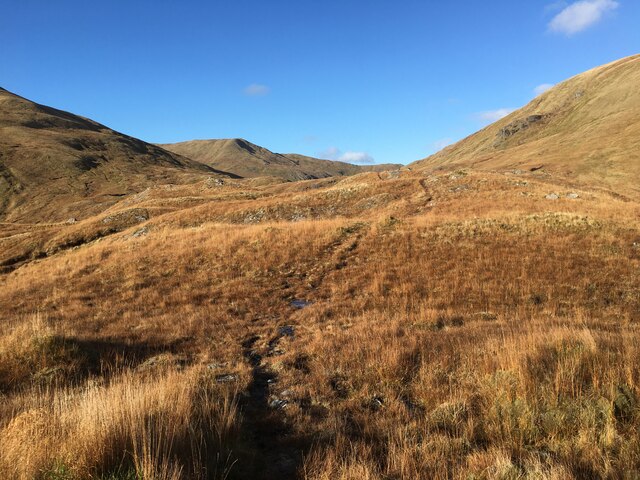
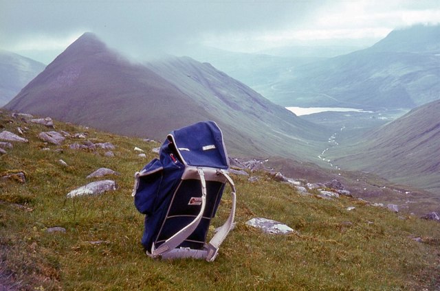
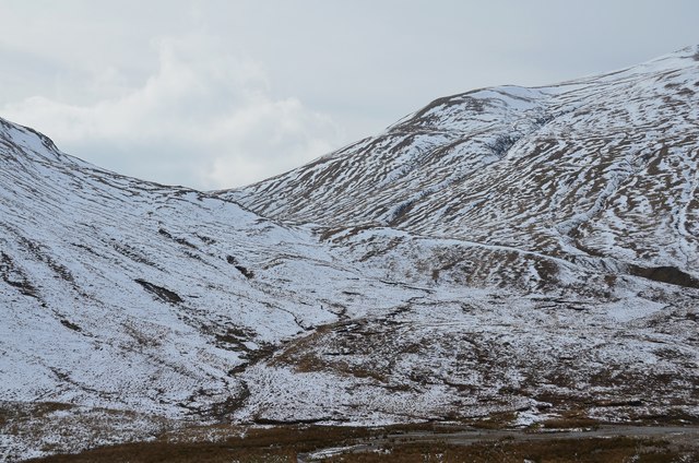
An Cnapach Images
Images are sourced within 2km of 57.192623/-5.2079639 or Grid Reference NH0615. Thanks to Geograph Open Source API. All images are credited.


An Cnapach is located at Grid Ref: NH0615 (Lat: 57.192623, Lng: -5.2079639)
Unitary Authority: Highland
Police Authority: Highlands and Islands
What 3 Words
///unstated.zips.darker. Near Glenelg, Highland
Nearby Locations
Related Wikis

Ciste Dhubh
Ciste Dhubh is a mountain in the Scottish Highlands, between Glen Shiel and Glen Affric. With a height of 979 metres (3,212 ft), it is classed as a Munro...

Am Bàthach
Am Bàthach is a Scottish mountain situated at the head of Glen Shiel, at the western end of Loch Cluanie some 38 km (24 mi) south east of Kyle of Lochalsh...

Aonach Meadhoin
Aonach Meadhoin is a Munro mountain situated in the Kintail region of Scotland. It stands on the northern side of Glen Shiel some 31 kilometres south east...

Sgùrr a' Bhealaich Dheirg
Sgùrr a' Bhealaich Dheirg (Scottish Gaelic for 'peak of the red gap') is a mountain in Kintail on the northern side of Glen Shiel in the Scottish Highlands...
Nearby Amenities
Located within 500m of 57.192623,-5.2079639Have you been to An Cnapach?
Leave your review of An Cnapach below (or comments, questions and feedback).