Fly Hill
Hill, Mountain in Buteshire
Scotland
Fly Hill

Fly Hill is a prominent geographical feature located in the region of Buteshire, Scotland. Situated in the southern part of the island of Bute, it is known for its breathtaking natural beauty and unique characteristics. With an elevation of approximately 250 meters (820 feet), Fly Hill is classified as a hill rather than a mountain.
The hill is renowned for its panoramic views of the surrounding countryside and the neighboring islands. From its summit, one can enjoy sweeping vistas of the rolling green hills, charming coastal villages, and the sparkling waters of the Firth of Clyde. On a clear day, the hill offers glimpses of the Isle of Arran and the Kintyre Peninsula in the distance.
Fly Hill is covered in a patchwork of heather, grasses, and low-lying shrubs, creating a picturesque landscape. It is a popular destination for hikers and nature enthusiasts who are drawn to its tranquil atmosphere and diverse flora and fauna. The hill provides ample opportunities for outdoor activities such as walking, photography, and birdwatching.
Accessible by well-maintained footpaths, Fly Hill offers a moderate challenge for visitors, making it suitable for individuals of various fitness levels. It also has a rich historical significance, with traces of ancient settlements and burial sites found in the vicinity.
Whether it is to experience its natural splendor, to engage in outdoor pursuits, or to explore its historical heritage, Fly Hill in Bute is a captivating destination that showcases the breathtaking beauty of the Scottish landscape.
If you have any feedback on the listing, please let us know in the comments section below.
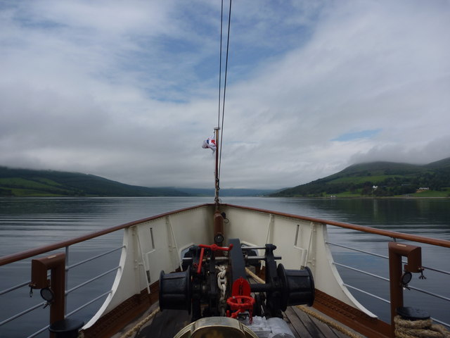
Fly Hill Images
Images are sourced within 2km of 55.876767/-5.1011631 or Grid Reference NS0669. Thanks to Geograph Open Source API. All images are credited.


Fly Hill is located at Grid Ref: NS0669 (Lat: 55.876767, Lng: -5.1011631)
Unitary Authority: Argyll and Bute
Police Authority: Argyll and West Dunbartonshire
What 3 Words
///developed.basis.washable. Near Port Bannatyne, Argyll & Bute
Nearby Locations
Related Wikis
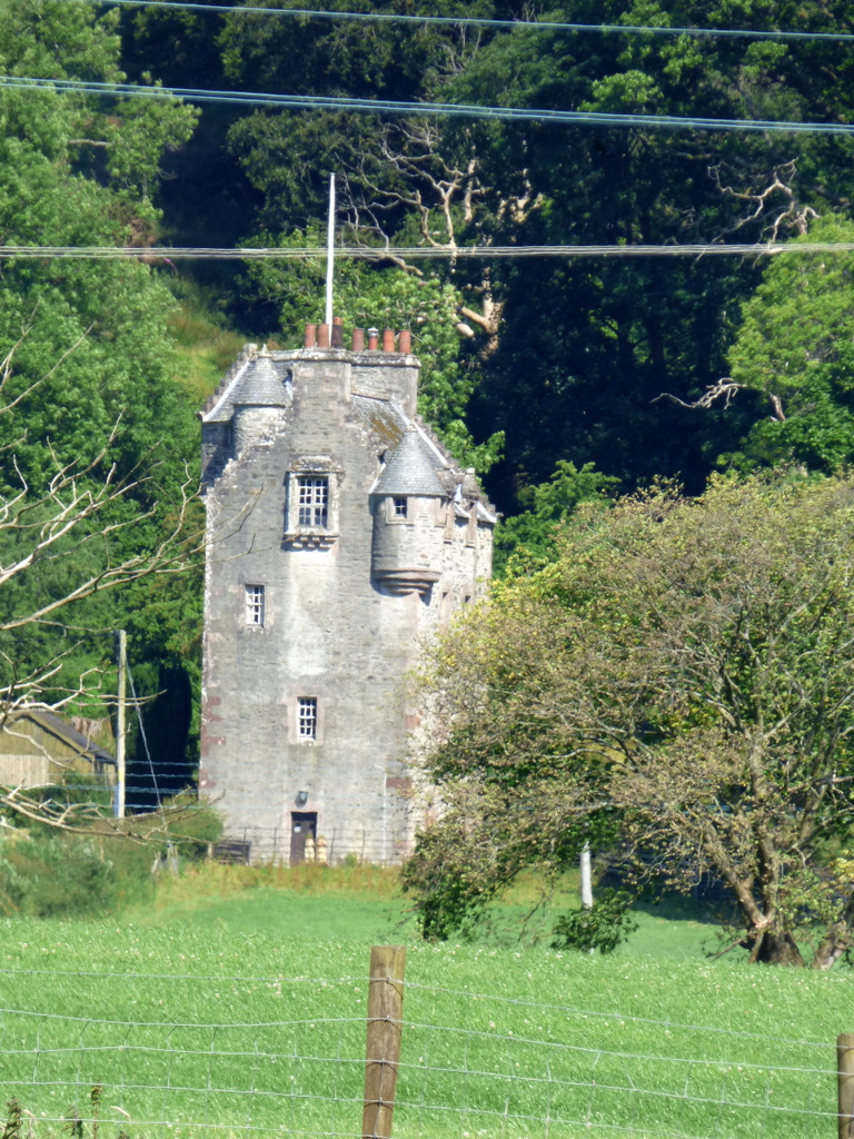
Wester Kames Castle
Wester Kames Castle is located near Kames Bay near Port Bannatyne, Isle of Bute, Scotland. Dating from around 1700, the castle was rebuilt around 1900...

Kames Castle
Kames Castle is a 16th-century tower house located on the shore of Kames Bay near Port Bannatyne, on the Isle of Bute, Scotland. The castle, which is set...
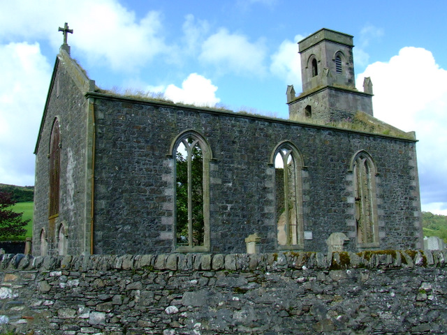
St Colmac's Church
St Colmac's Church is a ruined 19th-century church in St Colmac, north-east of Ettrick Bay, on the Isle of Bute, Argyll and Bute, Scotland. Built in 1835...
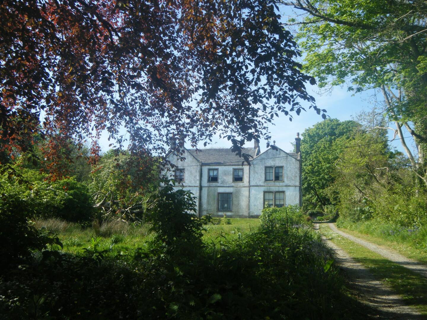
St Colmac Manse
St Colmac Manse (also known as Cnoc an Raer) is an historic building in St Colmac on the Isle of Bute, Scotland. Dating to around 1835, it was the clergy...
Nearby Amenities
Located within 500m of 55.876767,-5.1011631Have you been to Fly Hill?
Leave your review of Fly Hill below (or comments, questions and feedback).