A' Chruach
Hill, Mountain in Argyllshire
Scotland
A' Chruach
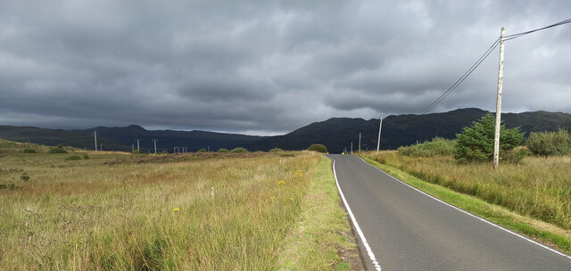
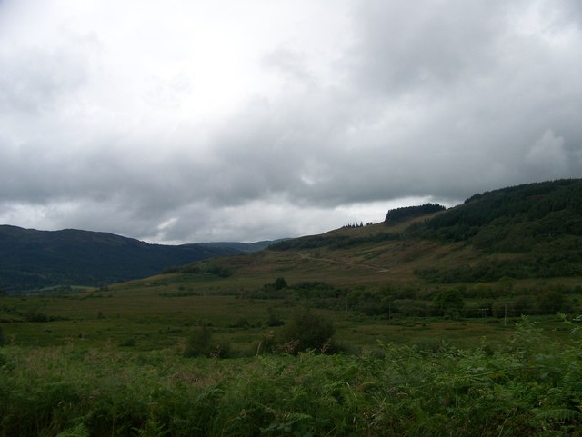
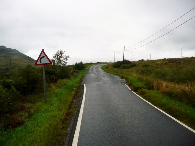
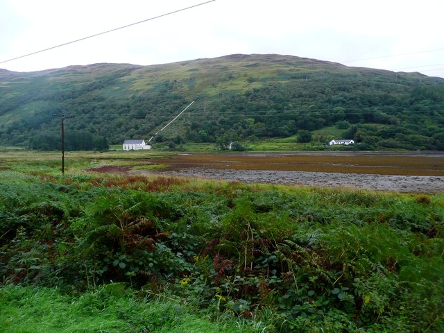
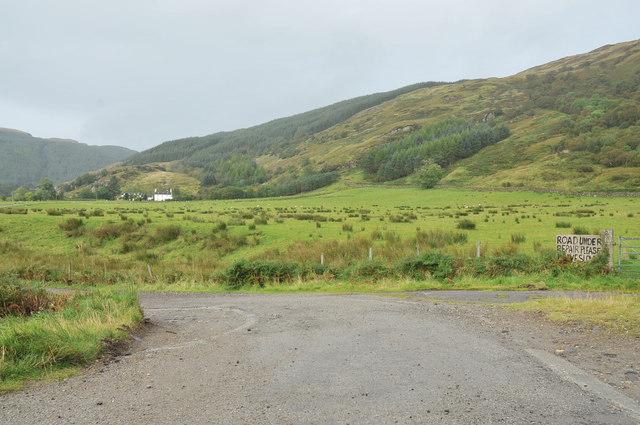
A' Chruach is a prominent hill located in Argyllshire, Scotland. It is part of the Grampian Mountains range and stands at an elevation of 512 meters (1,680 feet). The hill is situated in a picturesque and remote area, surrounded by stunning natural landscapes and breathtaking views.
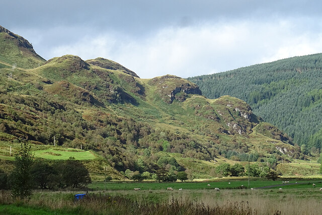
A' Chruach is known for its distinctive conical shape and rugged terrain, making it a popular destination for hikers and outdoor enthusiasts. The hill offers a moderate level of difficulty, with well-defined paths leading to the summit. The ascent provides a challenging but rewarding experience, showcasing the beauty of the surrounding countryside.
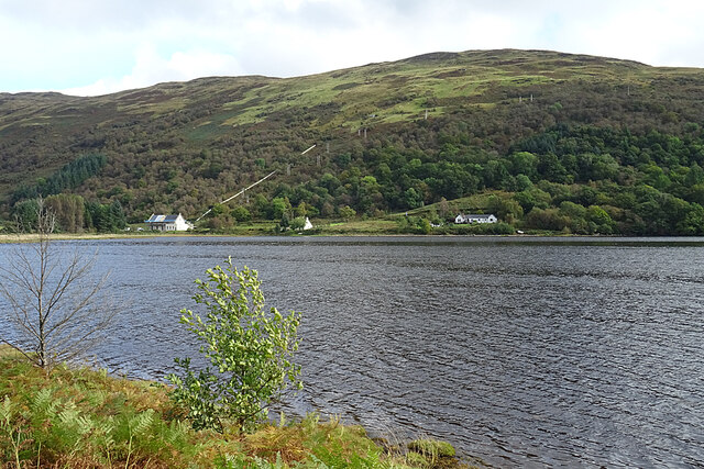
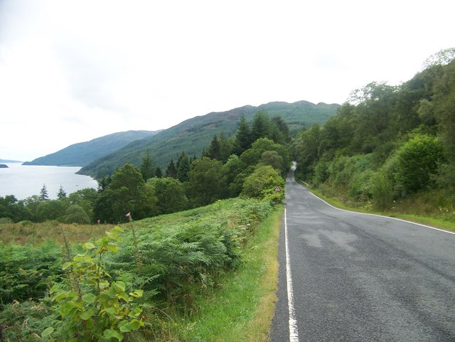
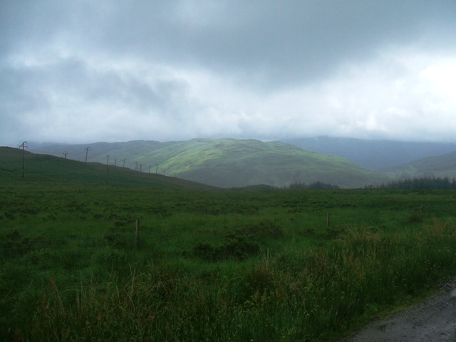
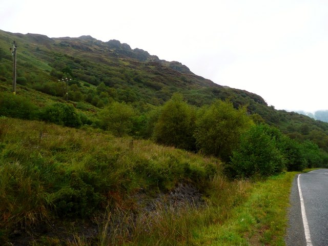
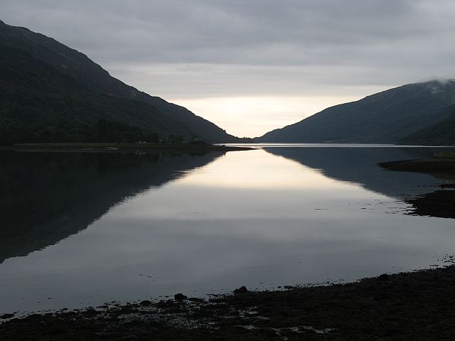
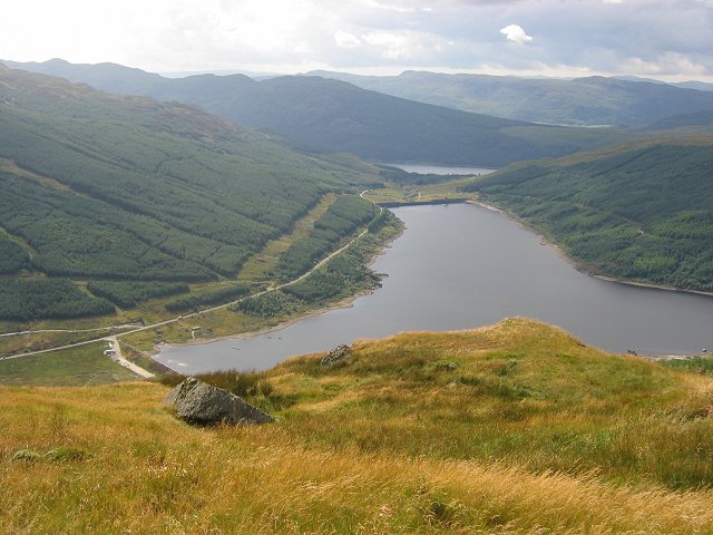
From the top of A' Chruach, visitors are treated to panoramic vistas of the Argyllshire region, with its rolling hills, glens, and lochs. On clear days, it is possible to see as far as the Isle of Mull and the Inner Hebrides. The hill also overlooks Loch Awe, the longest freshwater loch in Scotland, adding to its scenic appeal.
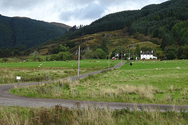
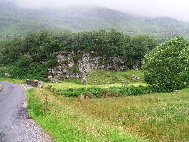
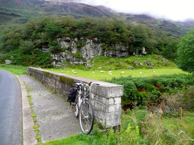
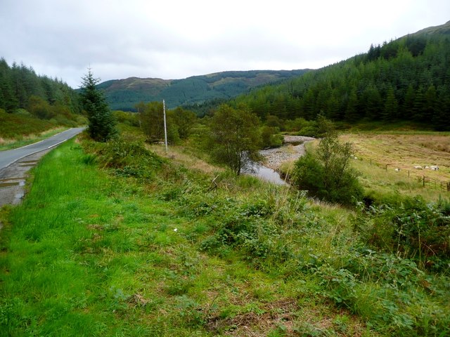
The area surrounding A' Chruach is rich in flora and fauna, with heather, grasses, and wildflowers covering the slopes. The hill is home to various bird species, including golden eagles, peregrine falcons, and red grouse. It is not uncommon to spot deer and other wildlife while exploring the hillside.
Overall, A' Chruach is a captivating and challenging destination for those seeking to immerse themselves in the beauty of Argyllshire's natural landscapes. It offers a unique opportunity to experience Scotland's remote and untamed wilderness.
If you have any feedback on the listing, please let us know in the comments section below.
A' Chruach Images
Images are sourced within 2km of 56.004432/-5.1408319 or Grid Reference NS0483. Thanks to Geograph Open Source API. All images are credited.
A' Chruach is located at Grid Ref: NS0483 (Lat: 56.004432, Lng: -5.1408319)
Unitary Authority: Argyll and Bute
Police Authority: Argyll and West Dunbartonshire
What 3 Words
///crossing.part.storming. Near Sandbank, Argyll & Bute
Nearby Locations
Related Wikis
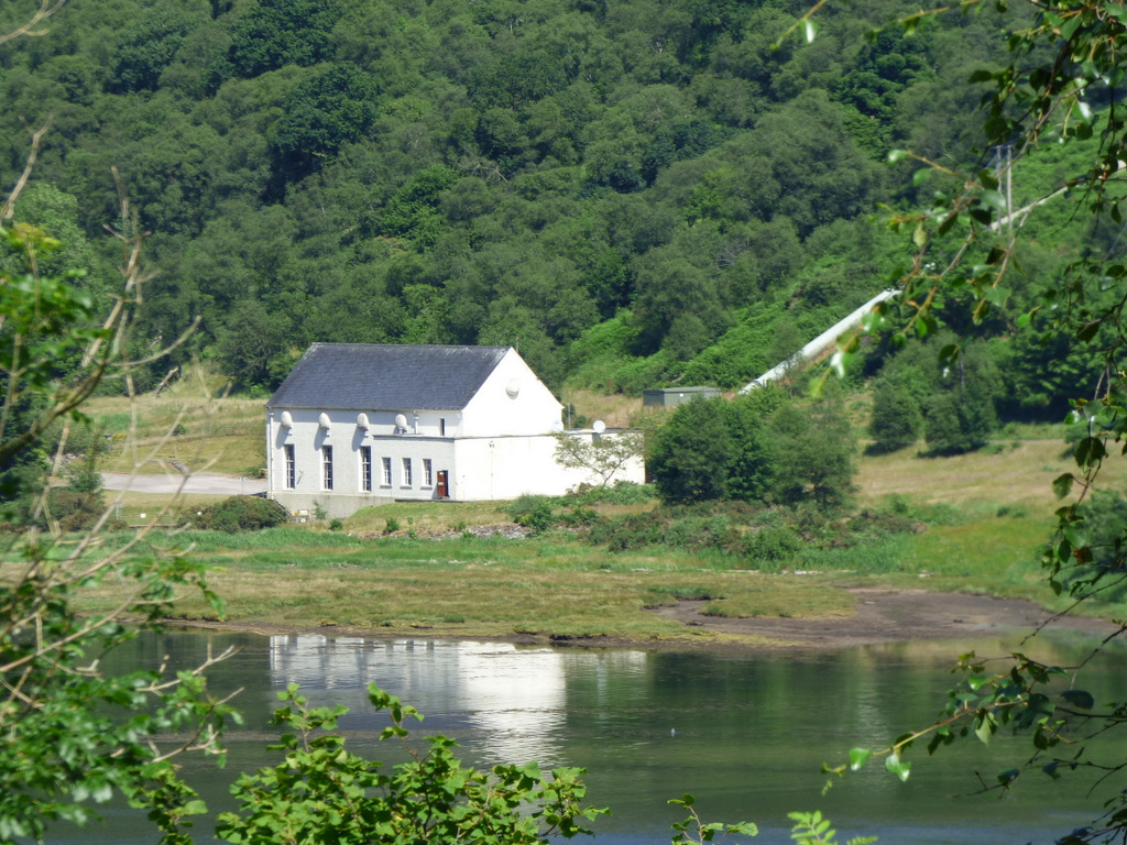
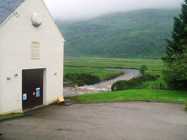
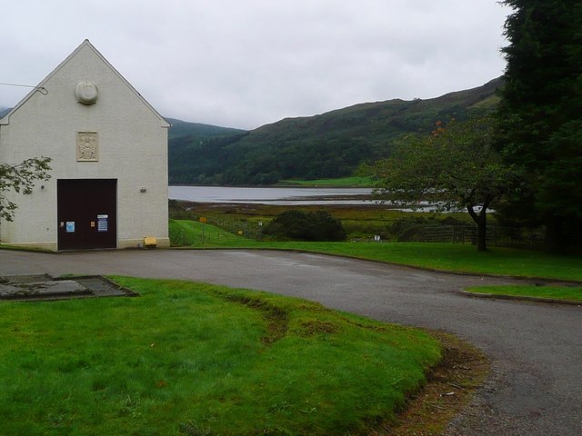
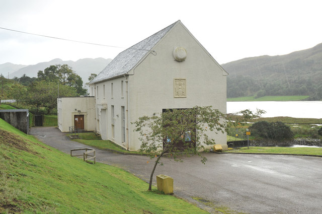
Striven Hydro-Electric Scheme
Striven Hydro-Electric Scheme is a small-scale hydro-electric power station, built by the North of Scotland Hydro-Electric Board and commissioned in 1951...
Ardtaraig
Ardtaraig is a hamlet lying at the head of Loch Striven on the Cowal peninsula, Argyll and Bute, West of Scotland. The hamlet is on the single track B836...

Auchenbreck Castle
Auchenbreck Castle (also spelt Auchinbreck) is located in Argyll and Bute, Scotland. Its remains are situated in Kilmodan parish, near the mouth of Glendaruel...
Loch Tarsan
Loch Tarsan; is a freshwater loch and impounding reservoir located 13 kilometres Northwest of Dunoon, on the Cowal peninsula in Argyll and Bute, Scotland...

Glen Lean
Glen Lean, in Argyll and Bute, Scotland, is an glacial-formed glen, with near vertical sides along part of the landform. It runs from the head of the Holy...

Glendaruel
Glendaruel (Gaelic: Gleann Dà Ruadhail) is a glen in the Cowal peninsula in Argyll and Bute, Scotland. The main settlement in Glendaruel is the Clachan...

Cowal
Cowal (Scottish Gaelic: Comhghall) is a rugged peninsula in Argyll and Bute, on the west coast of Scotland. It is bounded on the west by Loch Fyne and...
Little Eachaig River
The Little Eachaig River is a watercourse in Argyll and Bute, Scotland. It is sourced in the hills near Glen Lean and largely runs parallel to the B836...
Nearby Amenities
Located within 500m of 56.004432,-5.1408319Have you been to A' Chruach?
Leave your review of A' Chruach below (or comments, questions and feedback).